Burnt Wood

Wood, Forest in East Lothian

Scotland

Burnt Wood

Winton House Early 17th century house, with large additions about 1805. At the time the photograph was taken it was known as Winton House, but is now known as Winton Castle.
It is Category A listed <span class="nowrap"><a title="http://portal.historicenvironment.scot/designation/LB18948" rel="nofollow ugc noopener" href="http://portal.historicenvironment.scot/designation/LB18948">Link</a><img style="margin-left:2px;" alt="External link" title="External link - shift click to open in new window" src="https://s1.geograph.org.uk/img/external.png" width="10" height="10"/></span>.

Scanned from an AGFA colour transparency.
Winton House Credit: Richard Sutcliffe

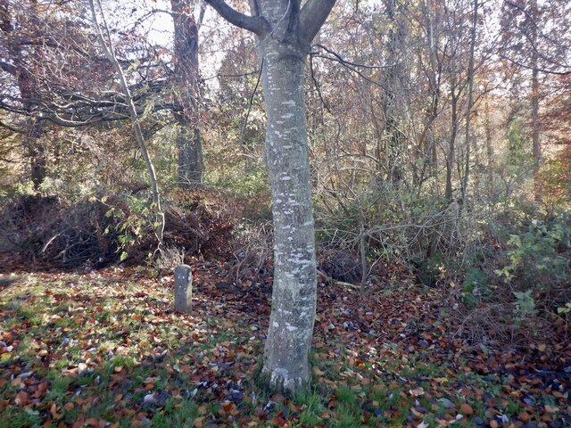
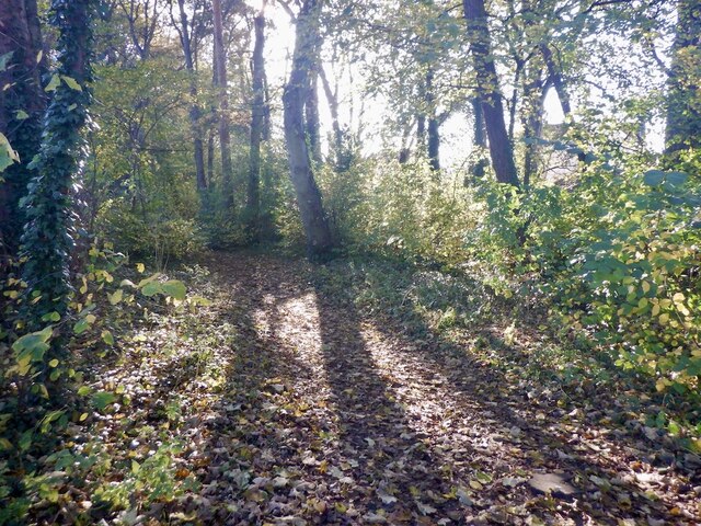
Burnt Wood is a small forest located in East Lothian, Scotland. The wood covers an area of approximately 50 acres and is situated on the outskirts of the town. It is known for its picturesque landscapes and diverse range of flora and fauna.

The forest is predominantly composed of native tree species such as oak, birch, and beech. The dense foliage provides ample shade and creates a serene atmosphere, making it a popular destination for nature enthusiasts and hikers. Visitors can enjoy walking along the well-maintained trails that wind through the wood, offering glimpses of wildflowers, mosses, and ferns that carpet the forest floor.

The wildlife in Burnt Wood is abundant and varied. Birds like woodpeckers, owls, and various species of songbirds can be spotted flitting among the trees. Squirrels, rabbits, and deer are also commonly seen, adding to the charm of the woodland experience.

The wood has historical significance as well. It is believed to have been used in the past for charcoal production, hence the name "Burnt Wood." Remnants of charcoal pits can still be found in some areas of the forest, offering a glimpse into its industrial past.

Overall, Burnt Wood offers a peaceful and tranquil escape from the hustle and bustle of everyday life. Whether it's for a leisurely stroll, birdwatching, or simply enjoying the beauty of nature, this forest is a hidden gem in East Lothian.

If you have any feedback on the listing, please let us know in the comments section below.
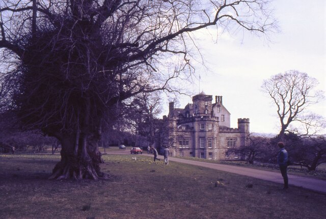
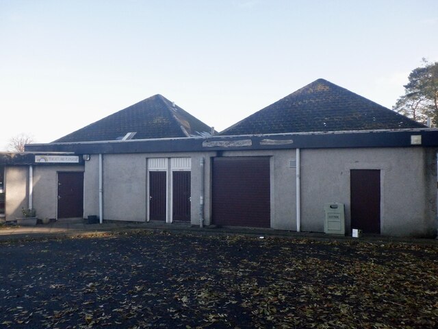
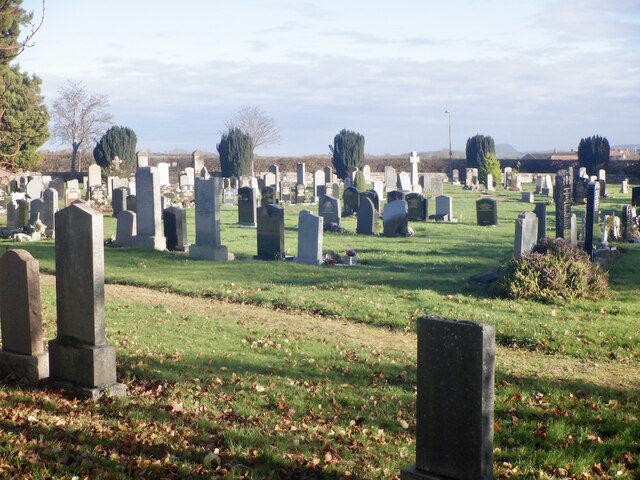
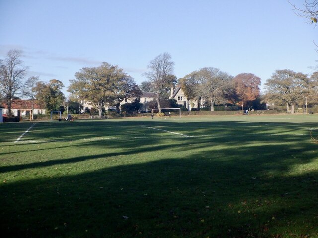
Burnt Wood Images

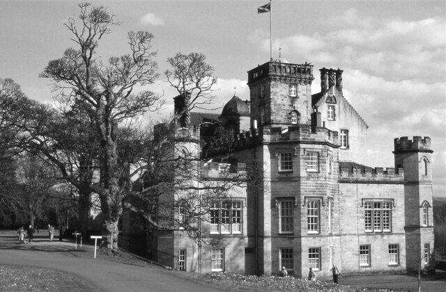
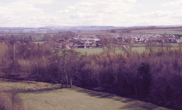
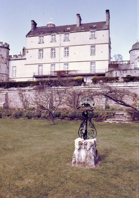
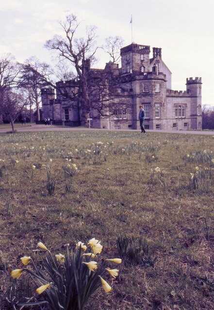
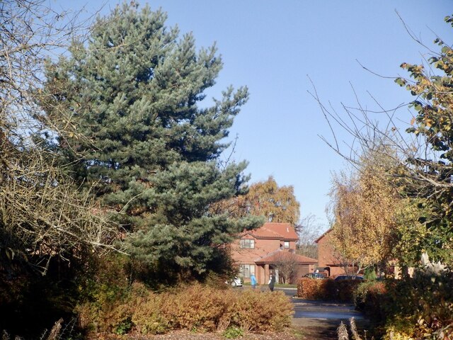
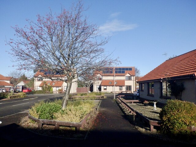
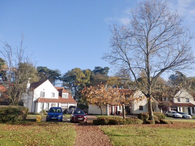
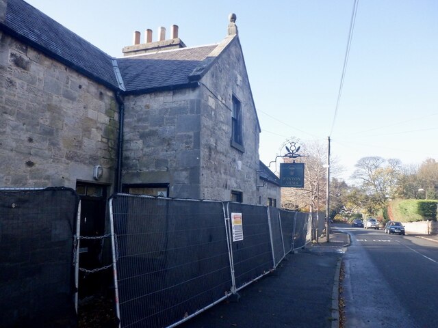
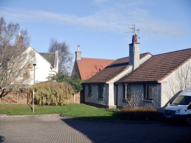
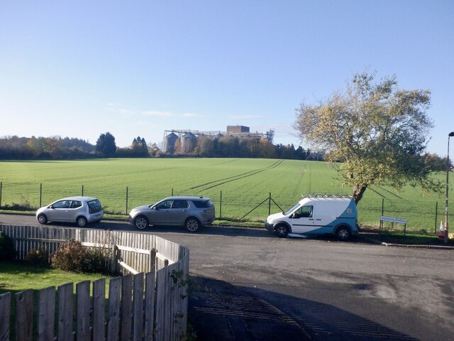
Images are sourced within 2km of 55.900568/-2.8919005 or Grid Reference NT4467. Thanks to Geograph Open Source API. All images are credited.

Winton House Early 17th century house, with large additions about 1805. At the time the photograph was taken it was known as Winton House, but is now known as Winton Castle.
It is Category A listed <span class="nowrap"><a title="http://portal.historicenvironment.scot/designation/LB18948" rel="nofollow ugc noopener" href="http://portal.historicenvironment.scot/designation/LB18948">Link</a><img style="margin-left:2px;" alt="External link" title="External link - shift click to open in new window" src="https://s1.geograph.org.uk/img/external.png" width="10" height="10"/></span>.

Scanned from an AGFA colour transparency.
Winton House
Early 17th century house, with large additions about 1805. At the time the photograph was taken it was known as Winton House, but is now known as Winton Castle. It is Category A listed LinkExternal link. Scanned from an AGFA colour transparency.
Pencaitland Seen from Winton House.

Scanned from an AGFA colour transparency.
Pencaitland
Seen from Winton House. Scanned from an AGFA colour transparency.
Winton House Early 17th century house, with large additions about 1805. At the time the photograph was taken it was known as Winton House, but is now known as Winton Castle.
It is Category A listed <span class="nowrap"><a title="http://portal.historicenvironment.scot/designation/LB18948" rel="nofollow ugc noopener" href="http://portal.historicenvironment.scot/designation/LB18948">Link</a><img style="margin-left:2px;" alt="External link" title="External link - shift click to open in new window" src="https://s1.geograph.org.uk/img/external.png" width="10" height="10"/></span>.

The garden ornament features a peacock.

Scanned from an AGFA colour transparency.
Winton House
Early 17th century house, with large additions about 1805. At the time the photograph was taken it was known as Winton House, but is now known as Winton Castle. It is Category A listed LinkExternal link. The garden ornament features a peacock. Scanned from an AGFA colour transparency.
Daffodil time At Winton House. The house dates from the early 17th century, with large additions about 1805. At the time the photograph was taken it was known as Winton House, but is now known as Winton Castle.
It is Category A listed <span class="nowrap"><a title="http://portal.historicenvironment.scot/designation/LB18948" rel="nofollow ugc noopener" href="http://portal.historicenvironment.scot/designation/LB18948">Link</a><img style="margin-left:2px;" alt="External link" title="External link - shift click to open in new window" src="https://s1.geograph.org.uk/img/external.png" width="10" height="10"/></span>.

Scanned from an AGFA colour transparency.
Daffodil time
At Winton House. The house dates from the early 17th century, with large additions about 1805. At the time the photograph was taken it was known as Winton House, but is now known as Winton Castle. It is Category A listed LinkExternal link. Scanned from an AGFA colour transparency.
An interesting tree Beside the drive approaching Wilton House. The house dates from the early 17th century, with large additions about 1805. At the time the photograph was taken it was known as Winton House, but is now known as Winton Castle.
It is Category A listed <span class="nowrap"><a title="http://portal.historicenvironment.scot/designation/LB18948" rel="nofollow ugc noopener" href="http://portal.historicenvironment.scot/designation/LB18948">Link</a><img style="margin-left:2px;" alt="External link" title="External link - shift click to open in new window" src="https://s1.geograph.org.uk/img/external.png" width="10" height="10"/></span>.

Scanned from an AGFA colour transparency.
An interesting tree
Beside the drive approaching Wilton House. The house dates from the early 17th century, with large additions about 1805. At the time the photograph was taken it was known as Winton House, but is now known as Winton Castle. It is Category A listed LinkExternal link. Scanned from an AGFA colour transparency.
Arthur McLeod Pavilion Changing facilities at the football pitch in Pencaitland.
Arthur McLeod Pavilion
Changing facilities at the football pitch in Pencaitland.
Cemetery, Pencaitland
Football pitch, Pencaitland
Vinefields, Pencaitland
Path, Vinefields Two streets which were intended to be dead ends have been linked by an informal path through the berberis.
Path, Vinefields
Two streets which were intended to be dead ends have been linked by an informal path through the berberis.
Woodland, Pencaitland Woodland along the Tyne upstream of Spilmersford.
Woodland, Pencaitland
Woodland along the Tyne upstream of Spilmersford.
Newish houses, Pencaitland 2000s built houses off Lime Kilns in Easter Pencaitland.
Newish houses, Pencaitland
2000s built houses off Lime Kilns in Easter Pencaitland.
Vinefields, Easter Pencaitland
Strip wood, Easter Pencaitland The wood predates the housing on former farmland on either side. There is now a path down it.
Strip wood, Easter Pencaitland
The wood predates the housing on former farmland on either side. There is now a path down it.
The Green, Pencaitland
Winton Arms, Pencaitland Undergoing some major building work. Unsure if this is a permanent closure or not at this time.
--
2023
Now open again
Winton Arms, Pencaitland
Undergoing some major building work. Unsure if this is a permanent closure or not at this time. -- 2023 Now open again
Woodhall Place, Wester Pencaitland
Field, Wester Pencaitland View towards Baird's Maltings across a field of winter cereals.  With houses on two sides this view could easily change as most East Lothian towns and villages are rapidly expanding now.
Field, Wester Pencaitland
View towards Baird's Maltings across a field of winter cereals. With houses on two sides this view could easily change as most East Lothian towns and villages are rapidly expanding now.
Show me another place!

Burnt Wood is located at Grid Ref: NT4467 (Lat: 55.900568, Lng: -2.8919005)

Unitary Authority: East Lothian

Police Authority: The Lothians and Scottish Borders

What 3 Words

///notifying.clings.rots. Near Pencaitland, East Lothian

Nearby Locations

Burnt Wood

Related Wikis

Pencaitland railway station

Pencaitland railway station served the village of Pencaitland, East Lothian, Scotland, from 1901 to 1933 on the Macmerry Branch. == History == The station...

Glenkinchie distillery

Glenkinchie distillery is a Scotch single malt whisky distillery in East Lothian, Scotland. It is one of the six distilleries in the Lowland region. It...

Pencaitland

Pencaitland is a village in East Lothian, Scotland, about 12 miles (19 kilometres) south-east of Edinburgh, 5 mi (8 km) south-west of Haddington, and 1...

Saltoun railway station

Saltoun railway station served the villages of East Saltoun and West Saltoun in East Lothian, Scotland, from 1901 to 1933 on the Macmerry Branch. ��2...

Nearby Amenities

Located within 500m of 55.900568,-2.8919005
Power: pole
Lat/Long: 55.9003264/-2.884287
Power: pole
Lat/Long: 55.9001862/-2.884289
Power: pole
Lat/Long: 55.8999338/-2.8839973
The data included in this document is from www.openstreetmap.org. The data is made available under ODbL.

Have you been to Burnt Wood?

Leave your review of Burnt Wood below (or comments, questions and feedback).