Blawearie Plantation
Wood, Forest in Roxburghshire
Scotland
Blawearie Plantation

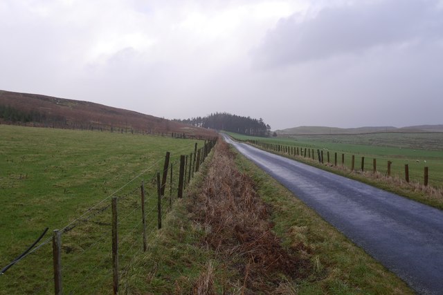
Blawearie Plantation is a sprawling woodland located in Roxburghshire, a historic county in the Scottish Borders region of Scotland. Covering a vast area, this plantation is renowned for its diverse range of trees and abundant wildlife.
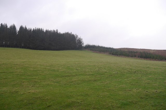
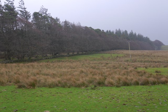
The woodland is predominantly composed of native broadleaf species, such as oak, ash, beech, and birch, which create a rich and varied ecosystem. The dense canopy provides a haven for a wide array of bird species, including woodpeckers, owls, and various songbirds. Additionally, the woodland is home to numerous mammals, including red squirrels, badgers, and roe deer.
Blawearie Plantation offers several walking trails that wind through its enchanting woods, allowing visitors to immerse themselves in the natural beauty of the area. These paths vary in length and difficulty, catering to both casual strollers and experienced hikers. Along the way, walkers can enjoy stunning views of the surrounding countryside, as well as the occasional glimpse of the nearby River Teviot.
The plantation also holds historical significance, with remnants of ancient settlements and structures scattered throughout the woodland. Archaeological finds suggest that the area has been inhabited for thousands of years, making it a fascinating destination for history enthusiasts.
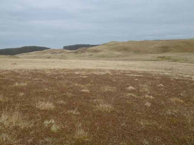
Blawearie Plantation is a cherished gem within Roxburghshire, offering visitors a tranquil escape into nature, a glimpse into the past, and an opportunity to appreciate the incredible biodiversity of Scotland's woodlands.
If you have any feedback on the listing, please let us know in the comments section below.
Blawearie Plantation Images
Images are sourced within 2km of 55.43855/-2.8819079 or Grid Reference NT4416. Thanks to Geograph Open Source API. All images are credited.


Blawearie Plantation is located at Grid Ref: NT4416 (Lat: 55.43855, Lng: -2.8819079)
Unitary Authority: The Scottish Borders
Police Authority: The Lothians and Scottish Borders
What 3 Words
///lizard.peanut.campsites. Near Hawick, Scottish Borders
Nearby Locations
Related Wikis

Harden Castle
Harden Castle is a 16th century tower house, about 3.5 miles (5.6 km) west of Hawick, Scottish Borders. It is alternatively known as Harden House or Harden...

Roberton, Scottish Borders
Roberton is a small village in the Scottish Borders area of Scotland, on the B711 and near to the A7, 5 miles (8 kilometres) from Hawick, 22 mi (35 km...

Borthwick Water
The Borthwick Water (Border Scots: Borthwick Witter) is a river in the Scottish Borders area of Scotland, and a tributary of the River Teviot. The Aithouse...

Alemoor Loch
Alemoor Loch, also known as Alemoor Reservoir, is a small reservoir in the Scottish Borders area of Scotland. It is situated on the Ale Water, 10 kilometres...

Burnfoot, Roberton
Burnfoot (Scottish Gaelic: Bun na h-Aibhne) is a hamlet in the Scottish Borders area of Scotland, close to Roberton, by the Borthwick Water. The nearest...
Salenside
Salenside is a village off the A7, on the Ale Water, near Ashkirk, in the Scottish Borders area of Scotland, in the former Selkirkshire. There was a Salenside...
Wilton Dean
Wilton Dean is a village in the Scottish Borders area of Scotland, on the Cala Burn, and close to the River Teviot. Along with Stirches and...

Branxholme Castle
Branxholme Castle is a five-storey tower at Branxholme, about 3 miles south-west of Hawick in the Borders region of Scotland. == History == The present...
Nearby Amenities
Located within 500m of 55.43855,-2.8819079Have you been to Blawearie Plantation?
Leave your review of Blawearie Plantation below (or comments, questions and feedback).