The Whins Plantation
Wood, Forest in Roxburghshire
Scotland
The Whins Plantation

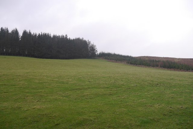
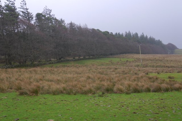
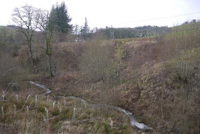
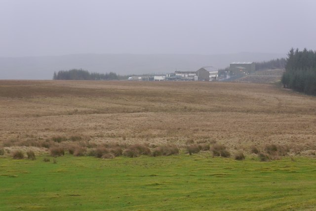
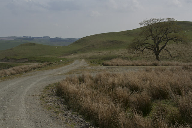
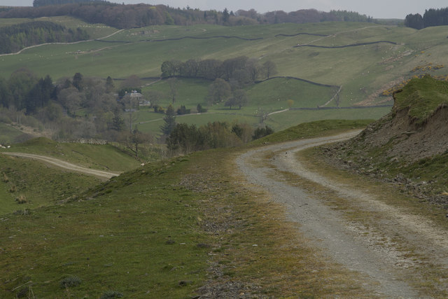
The Whins Plantation is a sprawling woodland located in Roxburghshire, a historic county in the Scottish Borders region of Scotland. Covering a vast area, the plantation is renowned for its natural beauty and diverse range of flora and fauna. Situated near the village of Wood, it offers visitors a serene and tranquil escape from the bustling city life.
The woodland is predominantly composed of native tree species such as oak, birch, and pine, creating a rich and diverse ecosystem. Walking through the plantation, one can witness the vibrant colors of wildflowers in the spring, the rustling of leaves in the summer, and the enchanting golden hues of the trees in the autumn.
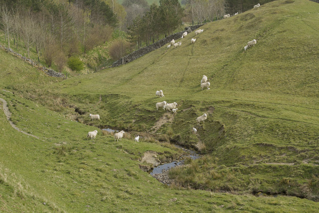
The Whins Plantation is also home to a variety of wildlife, making it a popular spot for nature enthusiasts and birdwatchers. Red squirrels, roe deer, and various species of birds can be spotted throughout the woodland, adding to its allure.
The plantation is well-maintained, with well-marked trails and paths that allow visitors to explore its beauty at their own pace. It is a perfect destination for leisurely walks, picnics, and photography sessions.
In addition to its natural charm, The Whins Plantation also has a rich cultural history. The area was once used for timber production and played a significant role in the local economy. Today, remnants of old sawmills and other structures can still be found within the woodland, serving as a reminder of its past.
Overall, The Whins Plantation in Roxburghshire is a captivating woodland that offers a peaceful retreat for nature lovers, history enthusiasts, and those seeking solace in the beauty of the outdoors.
If you have any feedback on the listing, please let us know in the comments section below.
The Whins Plantation Images
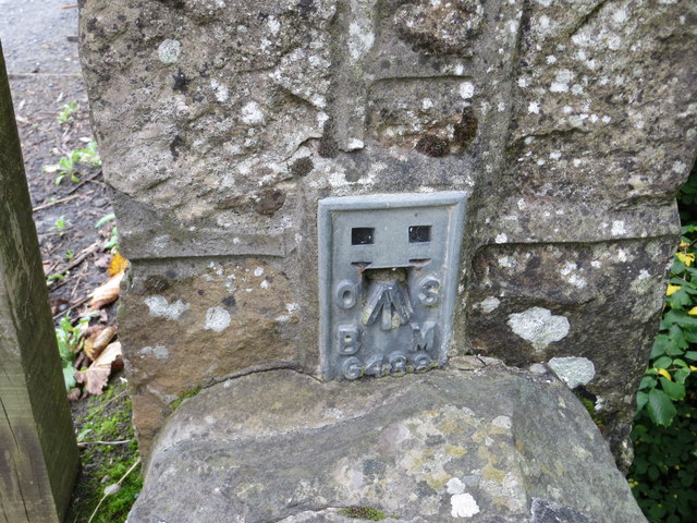
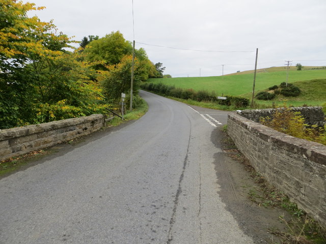
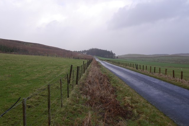
Images are sourced within 2km of 55.42458/-2.8839664 or Grid Reference NT4414. Thanks to Geograph Open Source API. All images are credited.


The Whins Plantation is located at Grid Ref: NT4414 (Lat: 55.42458, Lng: -2.8839664)
Unitary Authority: The Scottish Borders
Police Authority: The Lothians and Scottish Borders
What 3 Words
///clots.bombard.purified. Near Hawick, Scottish Borders
Nearby Locations
Related Wikis

Harden Castle
Harden Castle is a 16th century tower house, about 3.5 miles (5.6 km) west of Hawick, Scottish Borders. It is alternatively known as Harden House or Harden...

Roberton, Scottish Borders
Roberton is a small village in the Scottish Borders area of Scotland, on the B711 and near to the A7, 5 miles (8 kilometres) from Hawick, 22 mi (35 km...

Borthwick Water
The Borthwick Water (Border Scots: Borthwick Witter) is a river in the Scottish Borders area of Scotland, and a tributary of the River Teviot. The Aithouse...

Burnfoot, Roberton
Burnfoot (Scottish Gaelic: Bun na h-Aibhne) is a hamlet in the Scottish Borders area of Scotland, close to Roberton, by the Borthwick Water. The nearest...

Branxholme Castle
Branxholme Castle is a five-storey tower at Branxholme, about 3 miles south-west of Hawick in the Borders region of Scotland. == History == The present...

Alemoor Loch
Alemoor Loch, also known as Alemoor Reservoir, is a small reservoir in the Scottish Borders area of Scotland. It is situated on the Ale Water, 10 kilometres...

Newmill-on-Teviot
Newmill-on-Teviot, commonly called Newmill, is a hamlet in the Scottish Borders, 7 kilometres (4.3 mi) south of Hawick on the River Teviot. The remains...

Branxholme
Branxholme is a hamlet in the Scottish Borders area of Scotland, overlooking the River Teviot, three miles southwest of Hawick, on the A7 road to Langholm...
Have you been to The Whins Plantation?
Leave your review of The Whins Plantation below (or comments, questions and feedback).