Cefn Coch

Settlement in Montgomeryshire

Wales

Cefn Coch

Meadow, north of Adfa On the west side of the road to Llanllugan. About 250 metres above sea level.
Meadow, north of Adfa Credit: Christine Johnstone

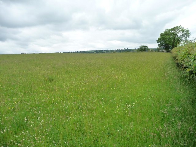
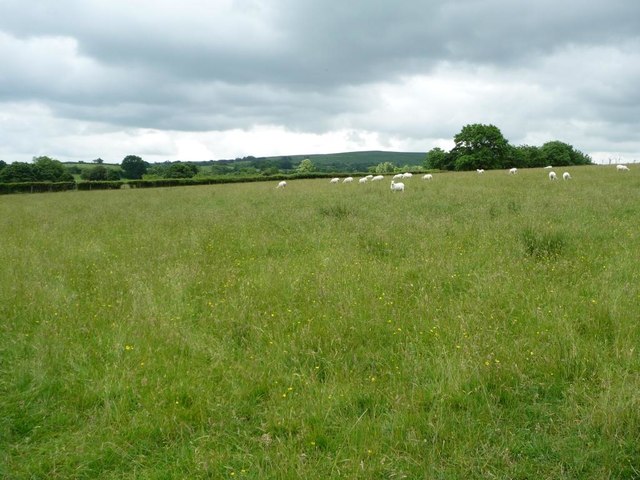
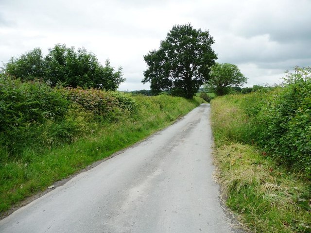
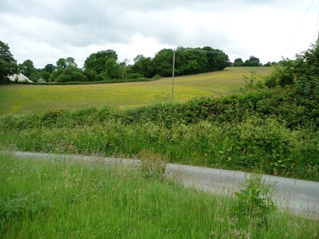
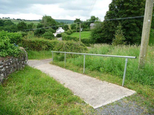
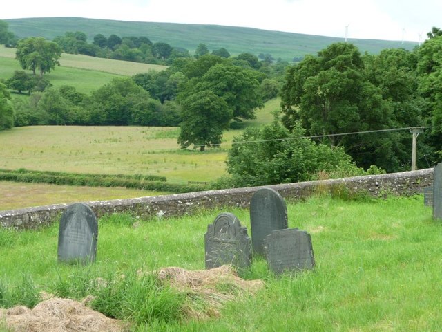
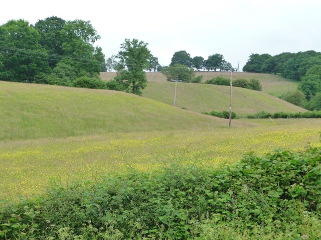
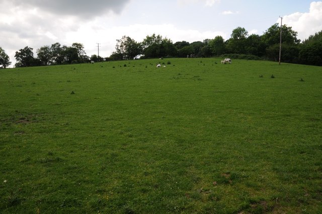
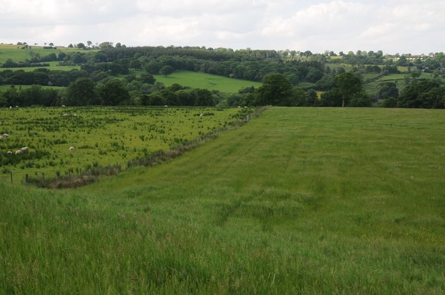
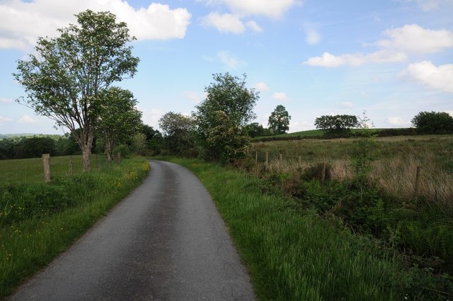
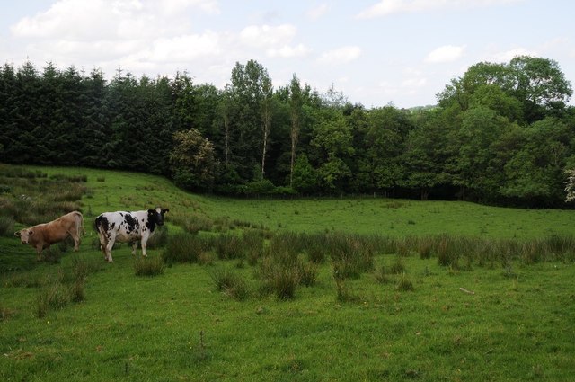
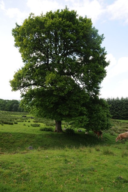
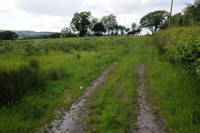
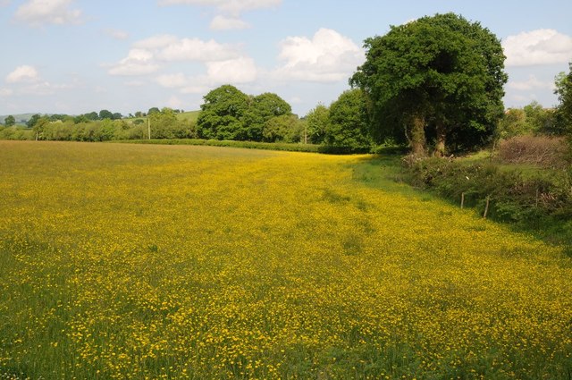
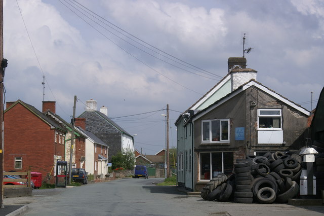
Cefn Coch is a small village located in the county of Montgomeryshire in Wales. Situated within the picturesque Welsh countryside, Cefn Coch is surrounded by rolling hills and lush green fields. The village is home to a close-knit community of residents who take pride in their rural surroundings.

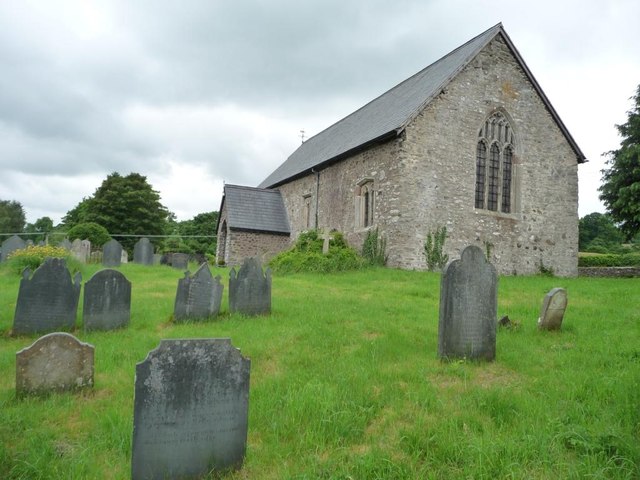
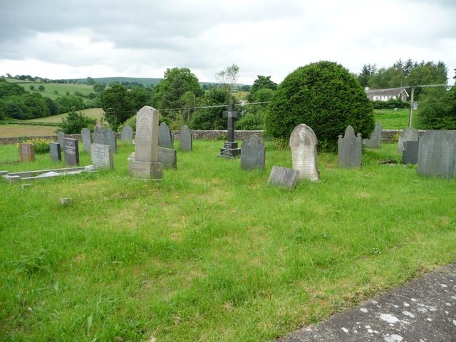
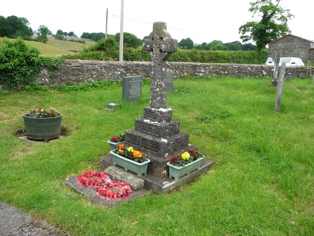
Cefn Coch is known for its charming stone cottages and traditional Welsh architecture. The village is also home to a quaint parish church, which dates back to the medieval period and serves as a focal point for community gatherings and events.

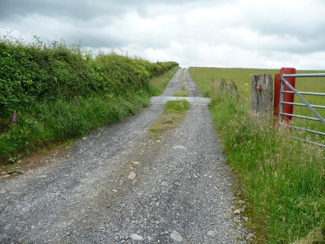
The surrounding area offers plenty of opportunities for outdoor activities, including hiking, cycling, and horseback riding. The village is also conveniently located near several historical sites and attractions, such as the ruins of Montgomery Castle and the stunning Powis Castle and Gardens.

Overall, Cefn Coch is a peaceful and idyllic village that offers a tranquil escape from the hustle and bustle of city life. With its natural beauty and rich history, it is a popular destination for visitors looking to experience the charm of rural Wales.

If you have any feedback on the listing, please let us know in the comments section below.

Cefn Coch Images

Images are sourced within 2km of 52.615483/-3.406829 or Grid Reference SJ0402. Thanks to Geograph Open Source API. All images are credited.

Meadow, north of Adfa On the west side of the road to Llanllugan. About 250 metres above sea level.
Meadow, north of Adfa
On the west side of the road to Llanllugan. About 250 metres above sea level.
259 metre spot height on a farm track north of Adfa The track heads west from the Adfa - Llanllugan road. It is not a public footpath.
259 metre spot height on a farm track north of Adfa
The track heads west from the Adfa - Llanllugan road. It is not a public footpath.
Grazing sheep, north of Adfa On the west side of the road to Llanllugan.
Grazing sheep, north of Adfa
On the west side of the road to Llanllugan.
The road from Llanllugan to Adfa Heading south.
The road from Llanllugan to Adfa
Heading south.
Farmland on the north side of Llanllugan Looking westwards from the church car park.
Farmland on the north side of Llanllugan
Looking westwards from the church car park.
Path down from the churchyard, Llanllugan Leading towards the crossroads at the western end of the village.
Path down from the churchyard, Llanllugan
Leading towards the crossroads at the western end of the village.
St Mary's Church, Llanllugan, form the south-east Built in the late 1300s or 1400s.
St Mary's Church, Llanllugan, form the south-east
Built in the late 1300s or 1400s.
Churchyard retaining wall, St Mary's, Llanllugan Several Montgomeryshire churches are set within raised, partly-circular churchyards, apparently indicating early medieval origins.
Churchyard retaining wall, St Mary's, Llanllugan
Several Montgomeryshire churches are set within raised, partly-circular churchyards, apparently indicating early medieval origins.
South-eastern corner, St Mary's churchyard Fewer of the modern headstones are made of slate.
South-eastern corner, St Mary's churchyard
Fewer of the modern headstones are made of slate.
War memorial, Llanllugan churchyard Commemorating the six villagers who died in the Great War 1914 -1919.
War memorial, Llanllugan churchyard
Commemorating the six villagers who died in the Great War 1914 -1919.
Golden fields, Llanllugan A folded landscape on the north side of the village.
Golden fields, Llanllugan
A folded landscape on the north side of the village.
Field near Glan-yr-afon Field near Glan-yr-afon, south-west of Llanllugan.
Field near Glan-yr-afon
Field near Glan-yr-afon, south-west of Llanllugan.
The upper Rhiw valley Farmland in the upper Rhiw valley near Cefn Coch.
The upper Rhiw valley
Farmland in the upper Rhiw valley near Cefn Coch.
Road to Adfa Country road to Adfa in the Rhiw valley.
Road to Adfa
Country road to Adfa in the Rhiw valley.
Cattle in a field Cattle in a field near Hên-dai, south-west of Cefn Coch.
Cattle in a field
Cattle in a field near Hên-dai, south-west of Cefn Coch.
Tree in a field Tree in a field near Cefn Coch in the Rhiw valley.  The same photographed eleven years ago <a href="https://www.geograph.org.uk/photo/561006">SJ0401 : Tree near Crugnant Farm</a>.
Tree in a field
Tree in a field near Cefn Coch in the Rhiw valley. The same photographed eleven years ago SJ0401 : Tree near Crugnant Farm.
Track to Cytir What appears to be a little used track to Cytir near Adfa.
Track to Cytir
What appears to be a little used track to Cytir near Adfa.
A field of buttercups A field of buttercups near Adfa in the Rhiw valley.
A field of buttercups
A field of buttercups near Adfa in the Rhiw valley.
Show me another place!

Cefn Coch is located at Grid Ref: SJ0402 (Lat: 52.615483, Lng: -3.406829)

Unitary Authority: Powys

Police Authority: Dyfed Powys

What 3 Words

///version.culling.wakes. Near Llanfair Caereinion, Powys

Related Wikis

Cefn Coch

Cefn Coch is a small village or hamlet near Llanfair Caereinion in Mid Wales, located at grid reference SJ 0482 0284. In 2012, the village was chosen as...

Llanllugan Abbey

Llanllugan Abbey was a monastery of Cistercian nuns located at Llanllugan, Powys, Wales. It was one of only two Cistercian women's monasteries in Wales...

Adfa, Powys

Adfa is a village in the Welsh county of Powys, in mid Wales. It is in the historic county of Montgomeryshire. == External links == Photos of Adfa and...

Montgomeryshire (Senedd constituency)

Montgomeryshire (Welsh: Sir Drefaldwyn) is a constituency of the Senedd. It elects one Member of the Senedd by the first past the post method of election...

Nearby Amenities

Located within 500m of 52.615483,-3.406829
Addr Housename: Cefn Coch Isaf
Building: yes
Lat/Long: 52.6176447/-3.4024902
Place: farm
Lat/Long: 52.616179/-3.4028335
Direction: 175
Generator Method: photovoltaic
Generator Output Electricity: yes
Generator Solar Modules: 16
Generator Source: solar
Generator Type: solar_photovoltaic_panel
Location: roof
Power: generator
Lat/Long: 52.6148529/-3.4042972
Direction: 170
Generator Method: photovoltaic
Generator Output Electricity: yes
Generator Solar Modules: 8
Generator Source: solar
Generator Type: solar_photovoltaic_panel
Location: roof
Power: generator
Lat/Long: 52.6149278/-3.4058529
Direction: SSE
Generator Method: photovoltaic
Generator Output Electricity: yes
Generator Solar Modules: 6
Generator Source: solar
Generator Type: solar_photovoltaic_panel
Location: roof
Power: generator
Lat/Long: 52.6155344/-3.4024103
Direction: 170
Generator Method: photovoltaic
Generator Output Electricity: yes
Generator Solar Modules: 8
Generator Source: solar
Generator Type: solar_photovoltaic_panel
Location: roof
Power: generator
Lat/Long: 52.6149327/-3.4057483
Direction: WSW
Generator Method: photovoltaic
Generator Output Electricity: yes
Generator Solar Modules: 8
Generator Source: solar
Generator Type: solar_photovoltaic_panel
Location: roof
Power: generator
Lat/Long: 52.6155129/-3.4024774
Direction: SE
Generator Method: photovoltaic
Generator Output Electricity: yes
Generator Solar Modules: 10
Generator Source: solar
Generator Type: solar_photovoltaic_panel
Location: roof
Power: generator
Lat/Long: 52.6176556/-3.402594
Direction: 165
Generator Method: photovoltaic
Generator Output Electricity: yes
Generator Solar Modules: 16
Generator Source: solar
Generator Type: solar_photovoltaic_panel
Location: roof
Power: generator
Lat/Long: 52.6150288/-3.4048498
Cefn Coch
Place: hamlet
Wikidata: Q20590359
Wikipedia: en:Cefn Coch
Lat/Long: 52.6153682/-3.4052211
Addr Housename: Maes yr Awel
Lat/Long: 52.6153636/-3.402997
Addr Housename: Pen y Cae
Lat/Long: 52.6140928/-3.4105903
Addr Housename: Frongoch Hall
Lat/Long: 52.6155488/-3.4102953
Addr Housename: Brynllugan
Lat/Long: 52.6143241/-3.4097803
Addr Housename: Pendinas
Lat/Long: 52.6129105/-3.4030882
Addr Housename: Brynteg
Lat/Long: 52.6156966/-3.4088066
Telephone
Defibrillator
Booth: K6
Covered: booth
Defibrillator Location: inside old red phonebox in Cefn Coch
Emergency: defibrillator
Man Made: telephone_box
Lat/Long: 52.6150501/-3.4072251
Advertising: board
Lat/Long: 52.6150572/-3.4072559
Bench
Lat/Long: 52.6150376/-3.4072613
Post Box
Post Box Mounting: wall
Post Box Type: lamp
Royal Cypher: EIIR
Royal Cypher Wikidata: Q33102113
Lat/Long: 52.6150181/-3.4072707
The data included in this document is from www.openstreetmap.org. The data is made available under ODbL.

Have you been to Cefn Coch?

Leave your review of Cefn Coch below (or comments, questions and feedback).