Beudy-hîr-Wood

Wood, Forest in Montgomeryshire

Wales

Beudy-hîr-Wood

Meadow, north of Adfa On the west side of the road to Llanllugan. About 250 metres above sea level.
Meadow, north of Adfa Credit: Christine Johnstone

Beudy-hîr-Wood, located in Montgomeryshire, is a picturesque woodland area renowned for its natural beauty and rich biodiversity. The name "Beudy-hîr" translates to "long cowshed" in Welsh, reflecting the area's past association with farming activities.

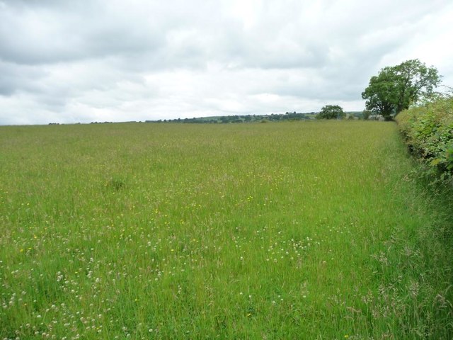
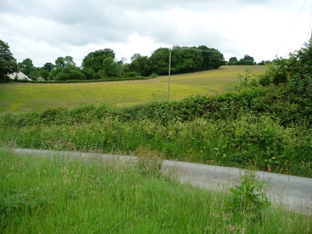
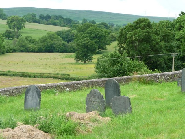
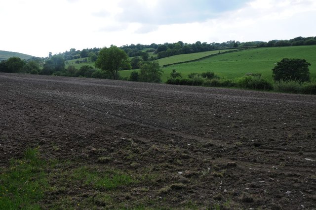
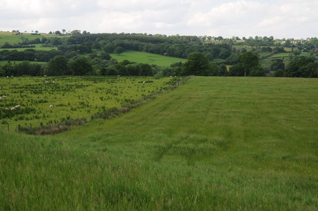
Covering an expansive area, Beudy-hîr-Wood is a mix of ancient broadleaf and coniferous trees, providing a diverse habitat for a wide range of flora and fauna. The dense canopy of trees creates a tranquil and serene atmosphere, making it an ideal destination for nature enthusiasts and hikers seeking solace in the great outdoors.

The woodland is home to a myriad of plant species, including oak, birch, beech, and pine trees. This diverse range of trees attracts various bird species, such as woodpeckers, owls, and finches, making it a haven for birdwatchers. Additionally, the forest floor is adorned with a vibrant carpet of wildflowers during the spring and summer months.

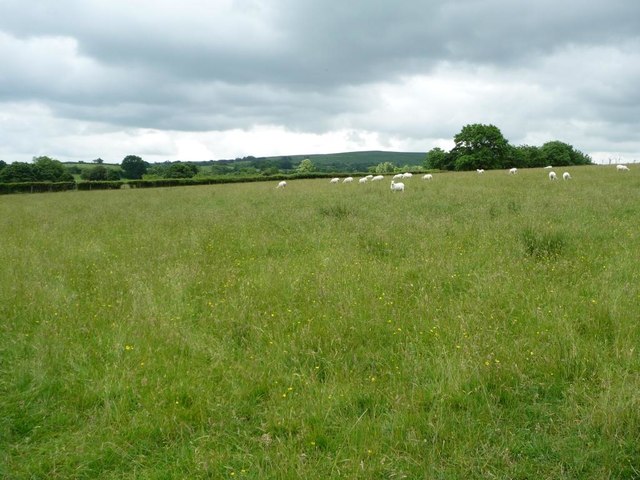
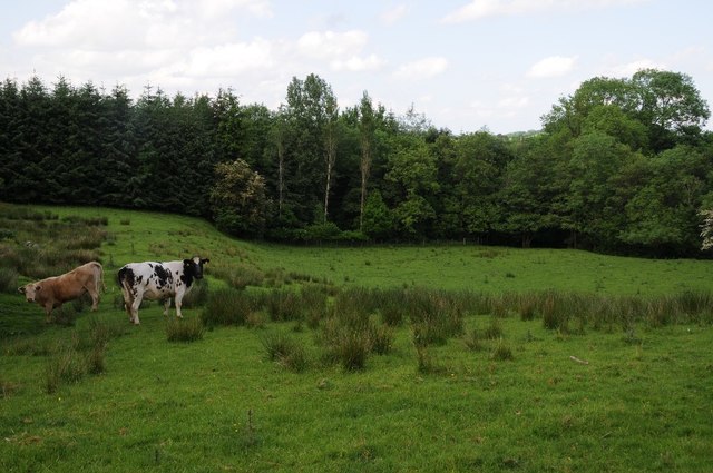
Beudy-hîr-Wood is also a sanctuary for various wildlife, including mammals like deer, badgers, and foxes. The tranquil setting allows for a peaceful coexistence between humans and nature, enabling visitors to observe these creatures in their natural habitats.

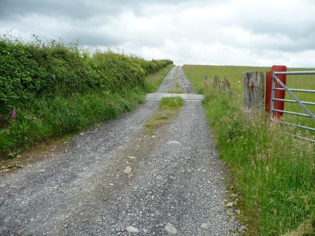
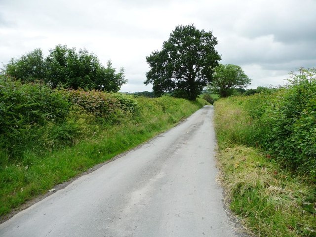
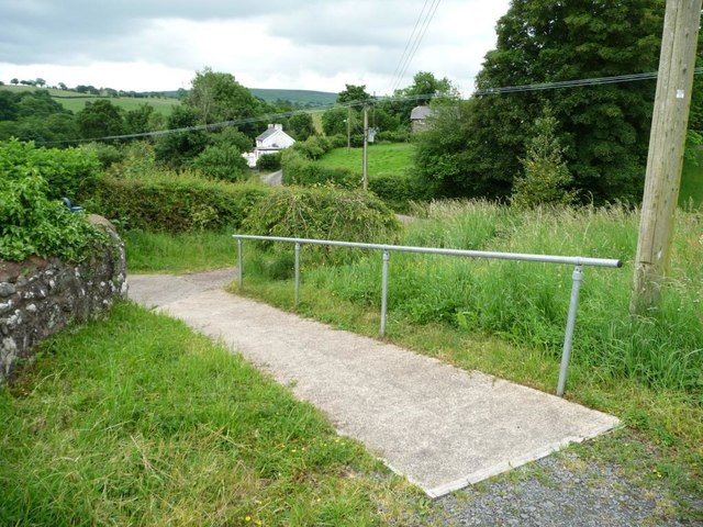
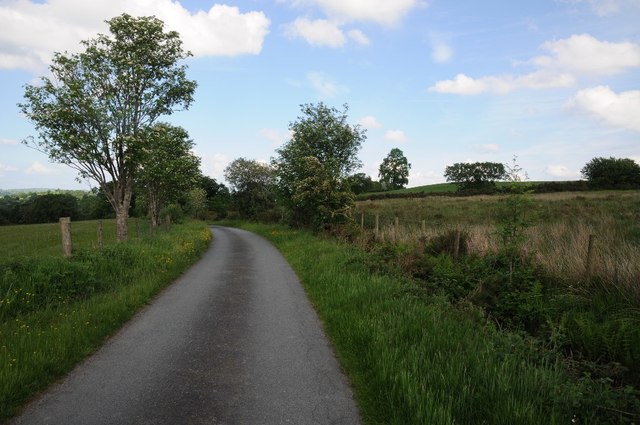
The wood is crisscrossed by a network of walking trails, allowing visitors to explore and immerse themselves in the beauty of the surroundings. These paths cater to all levels of fitness, from gentle strolls to more challenging hikes, ensuring that everyone can enjoy the woodland at their own pace.

Overall, Beudy-hîr-Wood is a charming and enchanting forest, offering a captivating experience for nature lovers and a refuge from the hustle and bustle of everyday life.

If you have any feedback on the listing, please let us know in the comments section below.

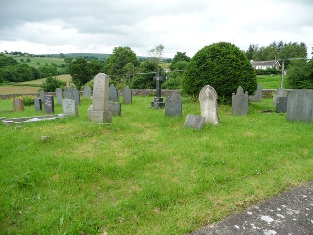
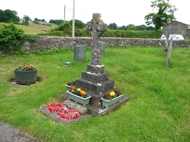
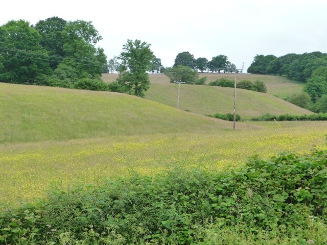
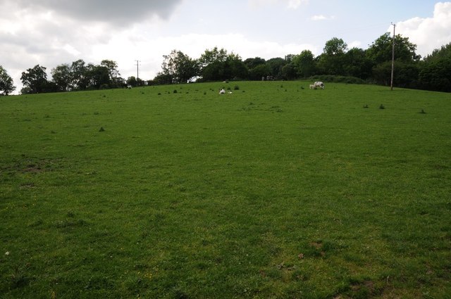
Beudy-hîr-Wood Images

Images are sourced within 2km of 52.609414/-3.4140827 or Grid Reference SJ0402. Thanks to Geograph Open Source API. All images are credited.

Meadow, north of Adfa On the west side of the road to Llanllugan. About 250 metres above sea level.
Meadow, north of Adfa
On the west side of the road to Llanllugan. About 250 metres above sea level.
259 metre spot height on a farm track north of Adfa The track heads west from the Adfa - Llanllugan road. It is not a public footpath.
259 metre spot height on a farm track north of Adfa
The track heads west from the Adfa - Llanllugan road. It is not a public footpath.
Grazing sheep, north of Adfa On the west side of the road to Llanllugan.
Grazing sheep, north of Adfa
On the west side of the road to Llanllugan.
The road from Llanllugan to Adfa Heading south.
The road from Llanllugan to Adfa
Heading south.
Farmland on the north side of Llanllugan Looking westwards from the church car park.
Farmland on the north side of Llanllugan
Looking westwards from the church car park.
Path down from the churchyard, Llanllugan Leading towards the crossroads at the western end of the village.
Path down from the churchyard, Llanllugan
Leading towards the crossroads at the western end of the village.
St Mary's Church, Llanllugan, form the south-east Built in the late 1300s or 1400s.
St Mary's Church, Llanllugan, form the south-east
Built in the late 1300s or 1400s.
Churchyard retaining wall, St Mary's, Llanllugan Several Montgomeryshire churches are set within raised, partly-circular churchyards, apparently indicating early medieval origins.
Churchyard retaining wall, St Mary's, Llanllugan
Several Montgomeryshire churches are set within raised, partly-circular churchyards, apparently indicating early medieval origins.
South-eastern corner, St Mary's churchyard Fewer of the modern headstones are made of slate.
South-eastern corner, St Mary's churchyard
Fewer of the modern headstones are made of slate.
War memorial, Llanllugan churchyard Commemorating the six villagers who died in the Great War 1914 -1919.
War memorial, Llanllugan churchyard
Commemorating the six villagers who died in the Great War 1914 -1919.
Golden fields, Llanllugan A folded landscape on the north side of the village.
Golden fields, Llanllugan
A folded landscape on the north side of the village.
View to Ty-newydd View to Ty-newydd to the south-west of Cefn Coch.
View to Ty-newydd
View to Ty-newydd to the south-west of Cefn Coch.
Field near Glan-yr-afon Field near Glan-yr-afon, south-west of Llanllugan.
Field near Glan-yr-afon
Field near Glan-yr-afon, south-west of Llanllugan.
A bare field near Ty-newydd Not sure what is going on here, the field is bare, possibly it is being reseeded.
A bare field near Ty-newydd
Not sure what is going on here, the field is bare, possibly it is being reseeded.
Ploughed field in the Rhiw valley What appears to be a ploughed field in the upper Rhiw valley, though this is not an area where much arable farming takes place, possibly this is being reseeded as pasture land.
Ploughed field in the Rhiw valley
What appears to be a ploughed field in the upper Rhiw valley, though this is not an area where much arable farming takes place, possibly this is being reseeded as pasture land.
The upper Rhiw valley Farmland in the upper Rhiw valley near Cefn Coch.
The upper Rhiw valley
Farmland in the upper Rhiw valley near Cefn Coch.
Road to Adfa Country road to Adfa in the Rhiw valley.
Road to Adfa
Country road to Adfa in the Rhiw valley.
Cattle in a field Cattle in a field near Hên-dai, south-west of Cefn Coch.
Cattle in a field
Cattle in a field near Hên-dai, south-west of Cefn Coch.
Show me another place!

Beudy-hîr-Wood is located at Grid Ref: SJ0402 (Lat: 52.609414, Lng: -3.4140827)

Unitary Authority: Powys

Police Authority: Dyfed Powys

What 3 Words

///gobbles.wasps.reforming. Near Llanfair Caereinion, Powys

Related Wikis

Cefn Coch

Cefn Coch is a small village or hamlet near Llanfair Caereinion in Mid Wales, located at grid reference SJ 0482 0284. In 2012, the village was chosen as...

Llanllugan Abbey

Llanllugan Abbey was a monastery of Cistercian nuns located at Llanllugan, Powys, Wales. It was one of only two Cistercian women's monasteries in Wales...

Adfa, Powys

Adfa is a village in the Welsh county of Powys, in mid Wales. It is in the historic county of Montgomeryshire. == External links == Photos of Adfa and...

Montgomeryshire (Senedd constituency)

Montgomeryshire (Welsh: Sir Drefaldwyn) is a constituency of the Senedd. It elects one Member of the Senedd by the first past the post method of election...

Nearby Amenities

Located within 500m of 52.609414,-3.4140827
Place: farm
Lat/Long: 52.6114703/-3.4192907
Place: farm
Lat/Long: 52.6097764/-3.4103214
Place: farm
Lat/Long: 52.6075873/-3.4076392
Direction: SSE
Generator Method: photovoltaic
Generator Output Electricity: yes
Generator Solar Modules: 20
Generator Source: solar
Generator Type: solar_photovoltaic_panel
Location: roof
Power: generator
Lat/Long: 52.6073878/-3.4079652
The data included in this document is from www.openstreetmap.org. The data is made available under ODbL.

Have you been to Beudy-hîr-Wood?

Leave your review of Beudy-hîr-Wood below (or comments, questions and feedback).