Took's Wood

Wood, Forest in Angus

Scotland

Took's Wood

Debris covered lochan Lochan covered in foliage debris viewed east from the Glenley to Auchnacree road.
Debris covered lochan Credit: Scott Cormie

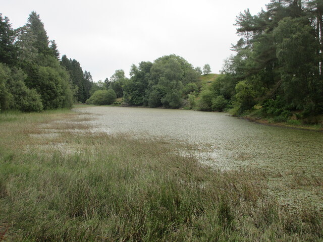
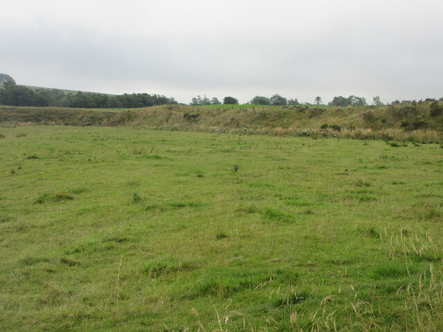
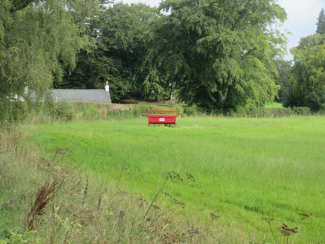
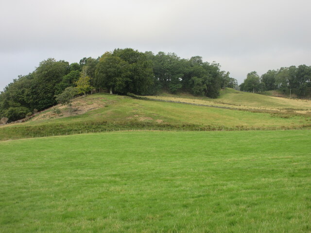
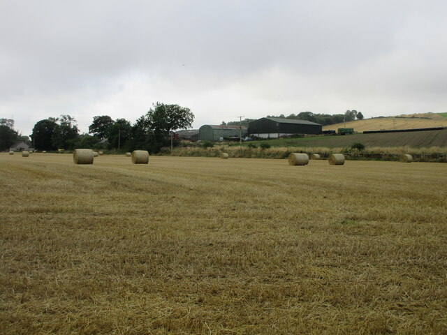
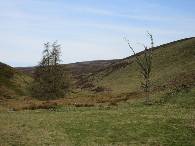
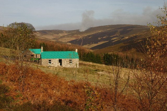
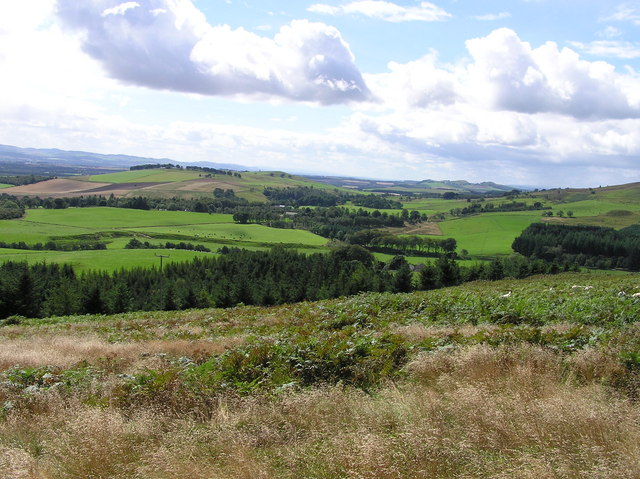
Took's Wood, located in Angus, Scotland, is a picturesque forest that covers an area of approximately 500 acres. The wood is known for its diverse ecosystem and rich biodiversity. It is situated in a rural area, surrounded by rolling hills and scenic landscapes, making it a popular destination for nature enthusiasts and hikers.

The wood is primarily composed of native broadleaf trees, such as oak, birch, and hazel, which form a dense canopy overhead. These trees provide a habitat for a variety of wildlife, including roe deer, red squirrels, and a wide array of bird species.

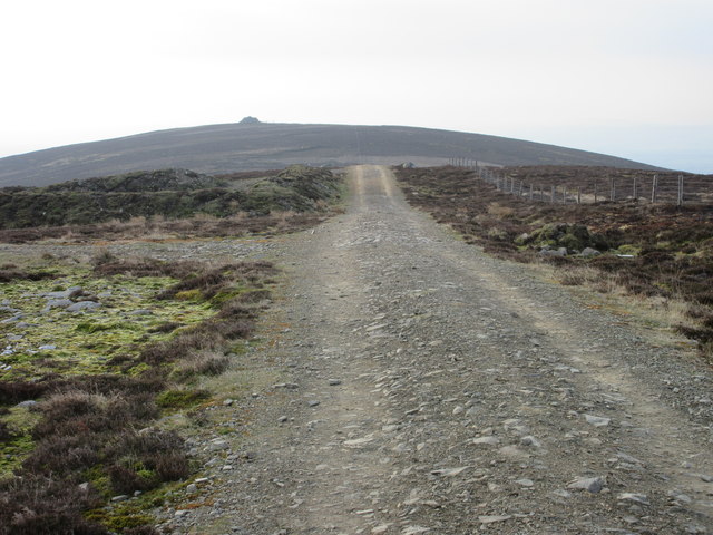
Several well-maintained trails wind through the wood, offering visitors the opportunity to explore its beauty at their own pace. The paths are often lined with vibrant wildflowers, adding a burst of color to the already stunning surroundings.

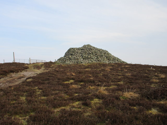
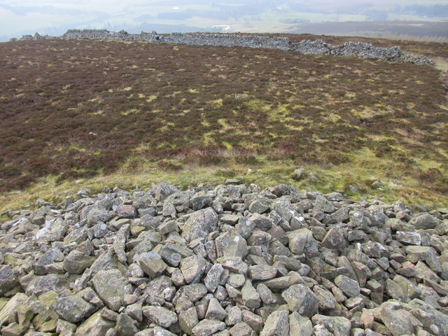
Took's Wood has a rich history, with evidence of human activity dating back thousands of years. Stone Age artifacts have been discovered within the wood, suggesting that it was once inhabited. Today, the wood is managed by a local conservation organization, ensuring its preservation for future generations.

The wood provides a peaceful and tranquil environment, allowing visitors to escape the hustle and bustle of everyday life. It offers a range of recreational activities, including picnicking, birdwatching, and photography. With its natural beauty and serene atmosphere, Took's Wood is a true haven for nature lovers and a valued asset to the local community.

If you have any feedback on the listing, please let us know in the comments section below.

Took's Wood Images

Images are sourced within 2km of 56.758535/-2.9168201 or Grid Reference NO4463. Thanks to Geograph Open Source API. All images are credited.

Debris covered lochan Lochan covered in foliage debris viewed east from the Glenley to Auchnacree road.
Debris covered lochan
Lochan covered in foliage debris viewed east from the Glenley to Auchnacree road.
Grassy pastureland near Glenogil Looking south to pastureland between Glenogil and Glenley.
Grassy pastureland near Glenogil
Looking south to pastureland between Glenogil and Glenley.
Cattle feeder near Glenogil Cattle feeder in a field between Glenogil and the Noran Water.
Cattle feeder near Glenogil
Cattle feeder in a field between Glenogil and the Noran Water.
Tree covered hillock Looking west from the Glenogil road to a hillock covered in woodland near the Den of Ogil.
Tree covered hillock
Looking west from the Glenogil road to a hillock covered in woodland near the Den of Ogil.
Bales at the Mains of Ogil Looking south to a harvested field with bales, with the Mains of Ogil beyond.
Bales at the Mains of Ogil
Looking south to a harvested field with bales, with the Mains of Ogil beyond.
Heading to St.Arnold's Seat The track from Naked Tam heading for the cairn on St.Arnold's Seat.
Heading to St.Arnold's Seat
The track from Naked Tam heading for the cairn on St.Arnold's Seat.
The big cairn, St. Arnold's Seat The massive twenty foot cairn on St. Arnold's Seat, viewed from the south.
The big cairn, St. Arnold's Seat
The massive twenty foot cairn on St. Arnold's Seat, viewed from the south.
Top of the cairn, St. Arnold's Seat The view down from the top of the cairn, looking towards the ruined dyke that probably helped build the cairn.
Top of the cairn, St. Arnold's Seat
The view down from the top of the cairn, looking towards the ruined dyke that probably helped build the cairn.
Living pine and dead pine View from the track to Baikies, looking up the burn that runs down from St. Arnold's Seat.
Living pine and dead pine
View from the track to Baikies, looking up the burn that runs down from St. Arnold's Seat.
Broughty Ferry Crusaders annual camp - swimming at the Falls of Drumly Harry
Glenogil reservoir From the edge of the reservoir.
Glenogil reservoir
From the edge of the reservoir.
Mochrie, Glen Ogil Heather burning in the background.
Mochrie, Glen Ogil
Heather burning in the background.
Goynd Farm Christmas Day 2004 Goynd Farm, a farm on Glen Ogil Estates sitting at the bottom of Arnolds Seat in the Angus Glens. No idea where the name come from.
Goynd Farm Christmas Day 2004
Goynd Farm, a farm on Glen Ogil Estates sitting at the bottom of Arnolds Seat in the Angus Glens. No idea where the name come from.
Vista from Glen Lye Hill View to the west is towards Glenquiech, Den of Ogil and Strathmore in the background. In the foreground are sheep which graze the grass land on the hill after they have been weaned from their lamb. Also seen is bracken which can take over hills if there is no management. It is poisonous to some grazing livestock where it produces symptoms similar to the effects of radioactivity!
Vista from Glen Lye Hill
View to the west is towards Glenquiech, Den of Ogil and Strathmore in the background. In the foreground are sheep which graze the grass land on the hill after they have been weaned from their lamb. Also seen is bracken which can take over hills if there is no management. It is poisonous to some grazing livestock where it produces symptoms similar to the effects of radioactivity!
The only tree in the field. Modern farming with its use of machinery favours large uniform fields without obstruction, so it is unusual for one to be in the middle of a field. This one, an ash tree, is hollow in places. In the background is Easter Ogil and the trees in the mid ground are following the Noran on which the Falls of Drumley Harry are situated.
The only tree in the field.
Modern farming with its use of machinery favours large uniform fields without obstruction, so it is unusual for one to be in the middle of a field. This one, an ash tree, is hollow in places. In the background is Easter Ogil and the trees in the mid ground are following the Noran on which the Falls of Drumley Harry are situated.
Road bridge over a stream on the road to Glenogil.
View east along the unnamed reservoir next to the road.
St. Arnold's Seat Glenogil Reservoir in the foreground.
St. Arnold's Seat
Glenogil Reservoir in the foreground.
Show me another place!

Took's Wood is located at Grid Ref: NO4463 (Lat: 56.758535, Lng: -2.9168201)

Unitary Authority: Angus

Police Authority: Tayside

What 3 Words

///paints.icebergs.egging. Near Kirriemuir, Angus

Nearby Locations

Glenogil Took's Wood

Related Wikis

Auchnacree

Auchnacree is an estate in Angus, Scotland, five miles north of Forfar. In 1921 the estate overseer, Mr Frank Rae, discovered what is now called the Auchnacree...

Noranside

Noranside is a hamlet in Angus, Scotland, located at 56° 44' 0" North, 2° 52' 0" West,. The prison HMP Noranside was operated there from 1966 to 2011...

Angus (UK Parliament constituency)

Angus is a county constituency of the House of Commons of the Parliament of the United Kingdom (at Westminster). It elects one Member of Parliament (MP...

Memus

Memus is a small village in Angus, Scotland, north of Kirriemuir. It is home to the Drovers Pub. A story is told of a kelpie at Shielhill Bridge, leaving...

Nearby Amenities

Located within 500m of 56.758535,-2.9168201
Power: pole
Lat/Long: 56.7595631/-2.9089106
Power: pole
Lat/Long: 56.7588694/-2.908715
The data included in this document is from www.openstreetmap.org. The data is made available under ODbL.

Have you been to Took's Wood?

Leave your review of Took's Wood below (or comments, questions and feedback).