Harelawhagg Plantation
Wood, Forest in Dumfriesshire
Scotland
Harelawhagg Plantation
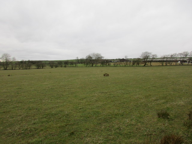
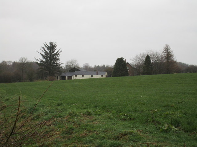
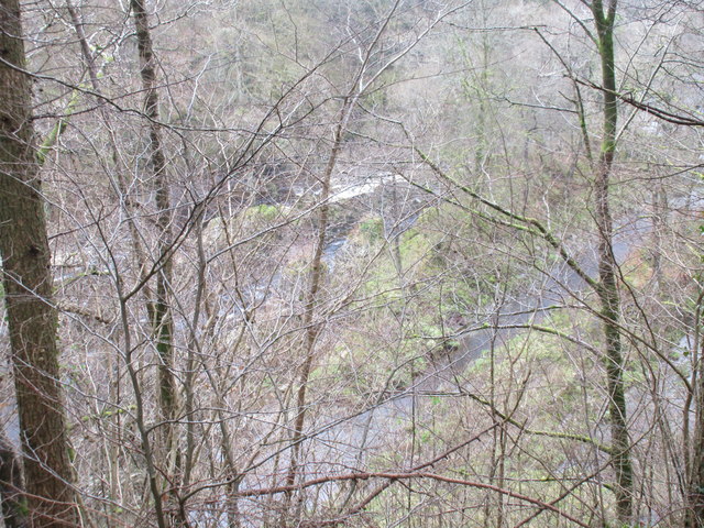
Harelawhagg Plantation is a picturesque woodland located in Dumfriesshire, Scotland. Covering an area of approximately 250 acres, this plantation is renowned for its diverse range of flora and fauna, making it a haven for nature enthusiasts and outdoor adventurers alike.
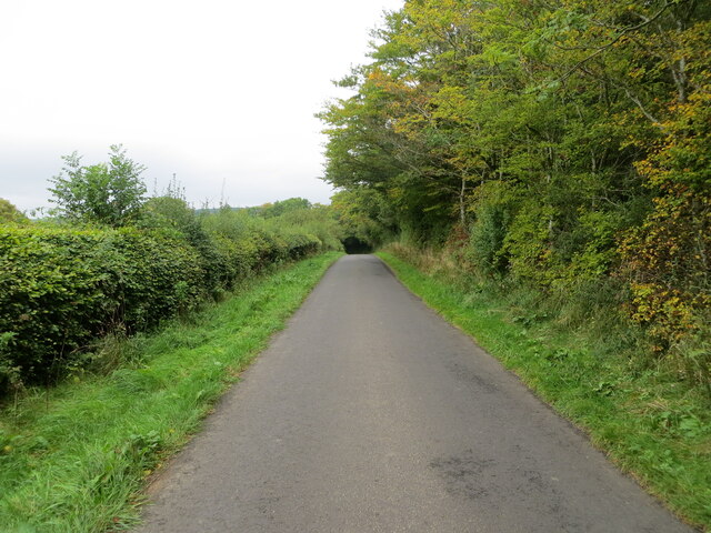
The woodland consists primarily of native broadleaf trees such as oak, ash, and birch, with scattered coniferous trees, including Scots pine. The mix of deciduous and evergreen trees creates an enchanting atmosphere throughout the plantation, especially during the autumn months when the leaves turn vibrant shades of red, orange, and gold.
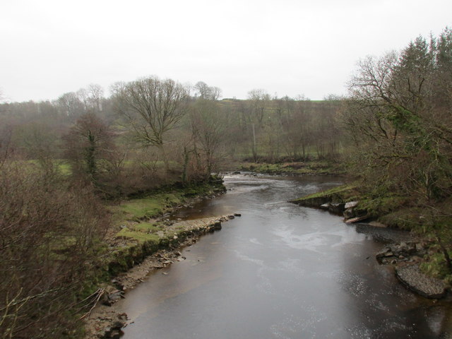
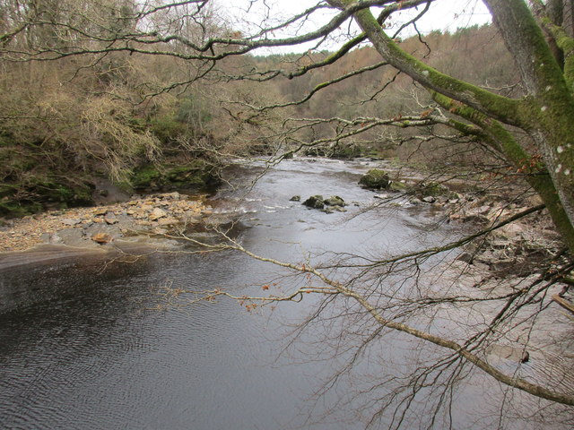
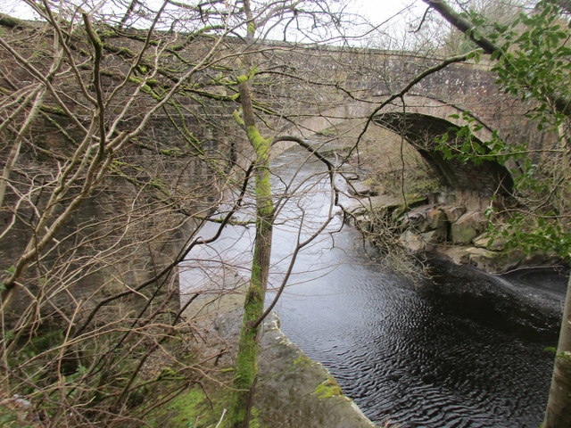
Tranquil streams meander through the plantation, providing a water source for various wildlife species. The plantation is home to a myriad of animals, including roe deer, red squirrels, badgers, and various bird species, such as woodpeckers and owls. It is also a habitat for a diverse range of insects and plants, including bluebells, wild garlic, and ferns.
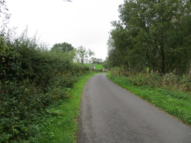
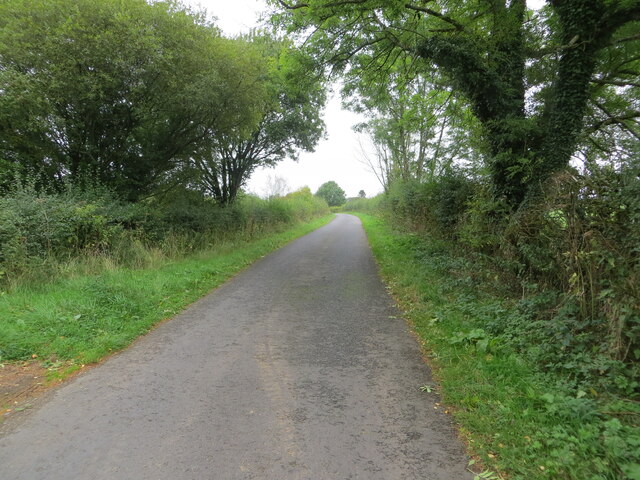
Harelawhagg Plantation offers a network of well-maintained walking trails, providing visitors with an opportunity to explore the woodland and immerse themselves in its natural beauty. The trails cater to different levels of difficulty, ensuring there is something for everyone, from casual strollers to avid hikers.
The plantation is equipped with facilities such as picnic areas and benches, allowing visitors to relax and enjoy the tranquility of the surroundings. Interpretive signs and information boards are strategically placed throughout the woodland, providing educational insights into the plantation's history, wildlife, and conservation efforts.
Overall, Harelawhagg Plantation is a captivating woodland that offers visitors a chance to connect with nature, experience breathtaking scenery, and indulge in outdoor activities in Dumfriesshire, Scotland.
If you have any feedback on the listing, please let us know in the comments section below.
Harelawhagg Plantation Images
Images are sourced within 2km of 55.099174/-2.8925188 or Grid Reference NY4378. Thanks to Geograph Open Source API. All images are credited.


Harelawhagg Plantation is located at Grid Ref: NY4378 (Lat: 55.099174, Lng: -2.8925188)
Unitary Authority: Dumfries and Galloway
Police Authority: Dumfries and Galloway
What 3 Words
///motivates.strongly.wacky. Near Langholm, Dumfries & Galloway
Nearby Locations
Related Wikis

Nook Pasture railway station
Nook Pasture railway station served the village of Canonbie, Dumfriesshire, Scotland, from 1864 to 1873 on the Waverley Line. The station was located...
Nicholforest
Nicholforest is a civil parish in Cumbria, England bordering Scotland. The population of the civil parish taken at the 2011 census was 372. The parish...
Rowanburn
Rowanburn is a hamlet in Eskdale, Dumfries and Galloway, Scotland. Located near Canonbie, it sits around 5 miles south-east of Langholm and about a mile...
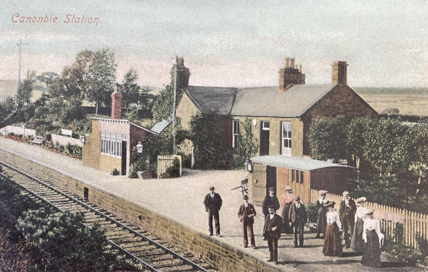
Canonbie railway station
Canonbie railway station served the village of Canonbie, Dumfries and Galloway, Scotland from 1862 to 1967 on the Border Union Railway. == History == The...

Catlowdy
Catlowdy is a hamlet in Cumbria, England. It contains the Bessiestown Country Guest House. == References ==

Fairy Loup
Fairy Loup is a waterfall located on Byre Burn, a tributary of River Esk, in Dumfries and Galloway, Scotland.The waterfall's name originates in a local...
Gilnockie railway station
Gilnockie railway station served the hamlet of Hollows, Dumfries and Galloway, Scotland from 1864 to 1967 on the Border Union Railway. == History == The...
Riddings Junction railway station
Riddings Junction railway station was a railway station in Cumbria, England, from 1862 to 1967 on the Border Union Railway. == History == The station opened...
Nearby Amenities
Located within 500m of 55.099174,-2.8925188Have you been to Harelawhagg Plantation?
Leave your review of Harelawhagg Plantation below (or comments, questions and feedback).