Morton Wood

Wood, Forest in Fife

Scotland

Morton Wood

Road to Kinnaird Farm
Road to Kinnaird Farm Credit: Mark Anderson

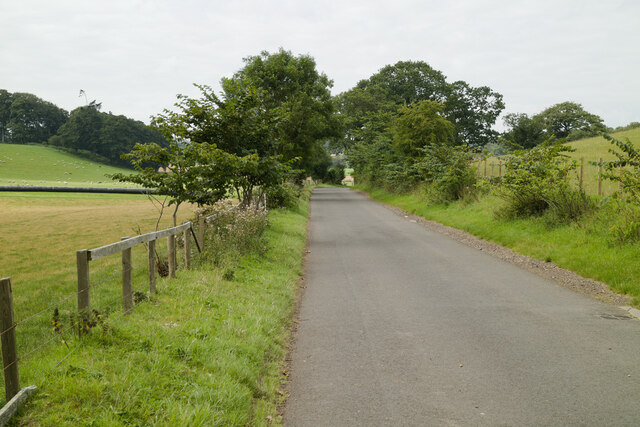
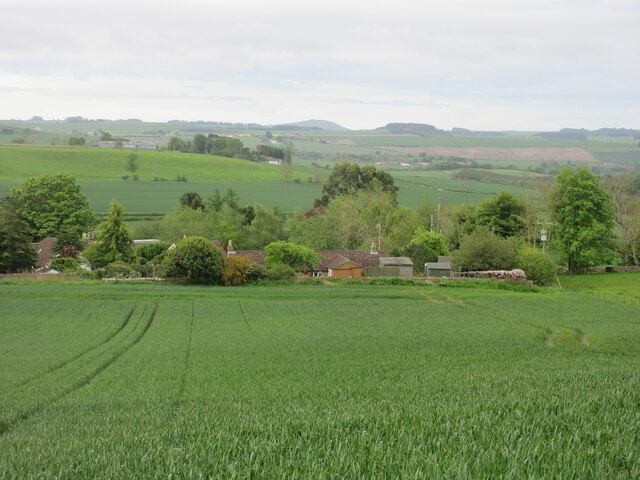
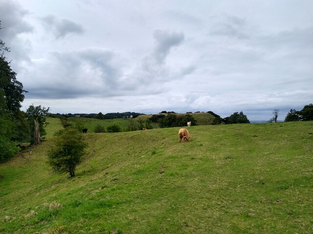
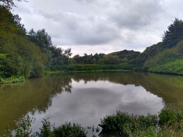
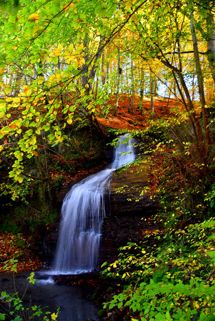
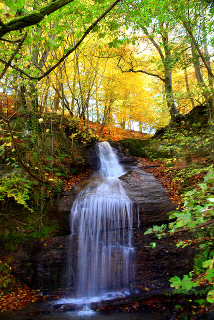
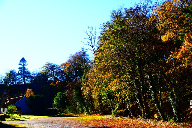
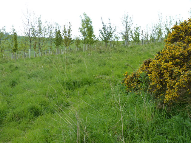
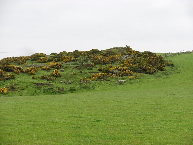
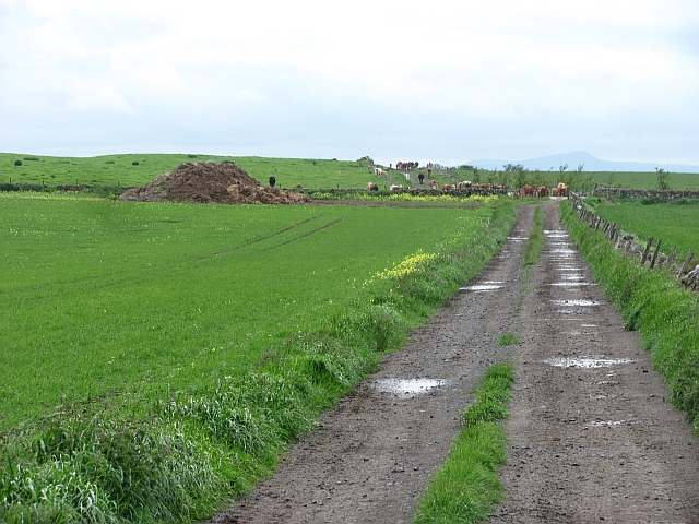
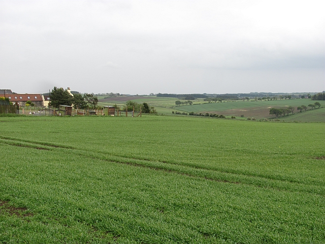
Morton Wood is a picturesque forest located in the county of Fife, Scotland. Covering an area of approximately 200 acres, it is a popular destination for nature lovers and outdoor enthusiasts alike. The wood is nestled within the rolling hills and stunning landscapes of Fife, providing visitors with a tranquil and serene environment.

Morton Wood boasts a diverse range of tree species, including oak, beech, and birch trees, which create a vibrant and colorful canopy throughout the seasons. The forest floor is adorned with a rich carpet of ferns, bluebells, and wildflowers, adding to the beauty and natural charm of the wood.

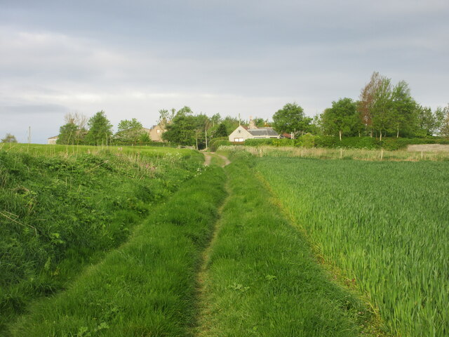
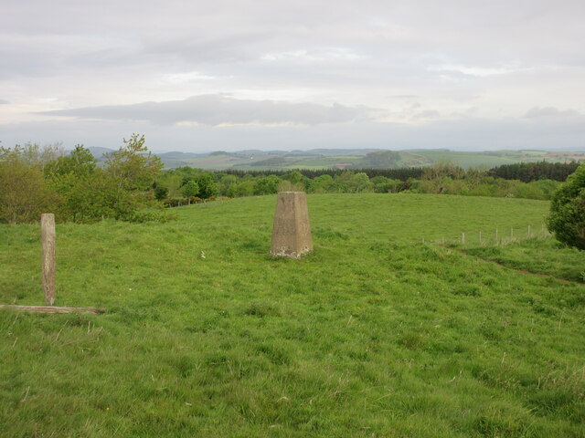
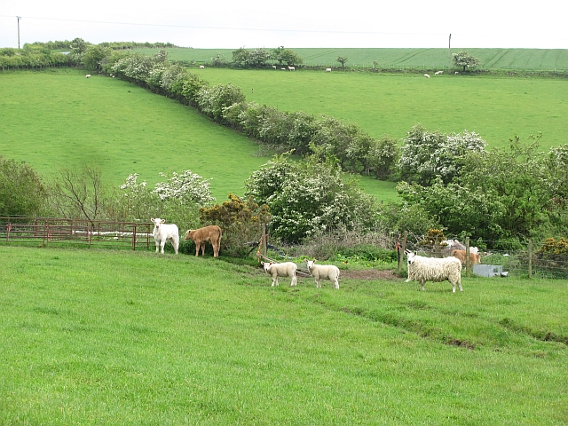
The wood is crisscrossed by a network of well-maintained trails, making it ideal for walking, jogging, and cycling. These paths offer breathtaking views of the surrounding countryside and provide an opportunity to spot various wildlife species, such as deer, foxes, and a wide variety of birdlife.

For those seeking a more immersive experience, Morton Wood offers camping facilities, allowing visitors to spend the night under the starry skies. It also features picnic areas, allowing families and friends to enjoy a leisurely day out surrounded by nature.

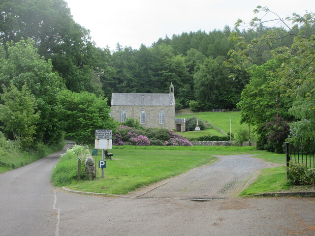
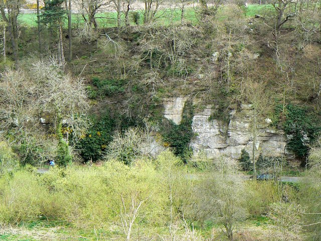
Morton Wood is not only a haven for nature enthusiasts but also serves as an important ecological site. It plays a vital role in preserving biodiversity and providing a habitat for numerous plant and animal species.

Overall, Morton Wood in Fife is a delightful destination for individuals seeking a peaceful retreat amidst nature's beauty. Its tranquil atmosphere, diverse flora and fauna, and well-maintained trails make it a must-visit location for anyone looking to immerse themselves in the natural wonders of Scotland.

If you have any feedback on the listing, please let us know in the comments section below.

Morton Wood Images

Images are sourced within 2km of 56.32041/-2.9210201 or Grid Reference NO4314. Thanks to Geograph Open Source API. All images are credited.

Road to Kinnaird Farm
Old track heading for Clatto Looking west along the old track between Strathkinness and Clatto.
Old track heading for Clatto
Looking west along the old track between Strathkinness and Clatto.
Clatto Hill Trig Pillar The triangulation pillar on Clatto Hill, looking north-westwards.
Clatto Hill Trig Pillar
The triangulation pillar on Clatto Hill, looking north-westwards.
Victorian wallbox at Blebocraigs VR embossed post box next to the Old Post Office at Blebocraigs.
Victorian wallbox at Blebocraigs
VR embossed post box next to the Old Post Office at Blebocraigs.
Cottages near Blebocraigs Looking southwards towards cottages amidst woodland to the west of Blebocraigs.
Cottages near Blebocraigs
Looking southwards towards cottages amidst woodland to the west of Blebocraigs.
Kemback Parish Church Looking east to Kemback Church, with the war memorial to the right.
Kemback Parish Church
Looking east to Kemback Church, with the war memorial to the right.
Hillocks before Loch Blebo This grassy hills, part of Blebo Estate, guard Loch Blebo from the south.
Hillocks before Loch Blebo
This grassy hills, part of Blebo Estate, guard Loch Blebo from the south.
Blebo House Seen from the impressively large grassland in front of the house.
Blebo House
Seen from the impressively large grassland in front of the house.
Loch Blebo This tiny loch, up for sale in September 2022, used to be a fishing pond, tucked away in the woodland around Blebo House. Nowadays it is in the process of turning into a miniature swampland. Somewhere in the reeds is still the boathouse seen in older maps.
Loch Blebo
This tiny loch, up for sale in September 2022, used to be a fishing pond, tucked away in the woodland around Blebo House. Nowadays it is in the process of turning into a miniature swampland. Somewhere in the reeds is still the boathouse seen in older maps.
Kemback waterfall Autumn in Dura Den and the Kemback waterfall.
Kemback waterfall
Autumn in Dura Den and the Kemback waterfall.
Kemback waterfall Autumn in Dura Den and Kemback waterfall.
Kemback waterfall
Autumn in Dura Den and Kemback waterfall.
Autumn by Kemback View from the car park at Kemback Church Hall.
Autumn by Kemback
View from the car park at Kemback Church Hall.
Young trees A new plantation on the slopes of Ladeddie Hill.
Young trees
A new plantation on the slopes of Ladeddie Hill.
Livestock beneath Kinninmouth Hill
Ladeddie Hill A rocky area of land with quarries to the east. The obviously uncultivated rocky bit has a covering of whins, the smooth grassland next door is probably the result of much hard labour moving stones.
Ladeddie Hill
A rocky area of land with quarries to the east. The obviously uncultivated rocky bit has a covering of whins, the smooth grassland next door is probably the result of much hard labour moving stones.
A wet afternoon, Ladeddie Arable land on the south facing side of Ladeddie Hill
A wet afternoon, Ladeddie
Arable land on the south facing side of Ladeddie Hill
Farm road, Kinninmouth Hill A well surfaced road runs along the spine of the hill towards a field with cattle. It is signposted as a path from Ladeddie.
Farm road, Kinninmouth Hill
A well surfaced road runs along the spine of the hill towards a field with cattle. It is signposted as a path from Ladeddie.
Arable land, Ladeddie
Show me another place!

Morton Wood is located at Grid Ref: NO4314 (Lat: 56.32041, Lng: -2.9210201)

Unitary Authority: Fife

Police Authority: Fife

What 3 Words

///upholds.reminds.streak. Near Cupar, Fife

Nearby Locations

Morton Wood

Related Wikis

Blebo Craigs

Blebo Craigs, or Blebocraigs is a village in rural Fife, Scotland. The village contains around one hundred houses on the south-facing slope of the hill...

Kemback

Kemback (Scottish Gaelic: Ceann Bac) is a village and parish in Fife, Scotland, located 2.5 miles (4.0 km) east of Cupar. The present village was developed...

Dura Den

Dura Den is a small, 3 km-long wooded gorge that is located near Cupar in northeastern Fife, Scotland. This narrow cleft follows a course between the villages...

Dairsie Bridge

Dairsie Bridge is a 16th-century stone bridge, located 1.2 kilometres (0.75 mi) south of Dairsie, in north-east Fife, Scotland. It carries a minor road...

Nearby Amenities

Located within 500m of 56.32041,-2.9210201
Power: pole
Lat/Long: 56.3201918/-2.9289259
Power: pole
Lat/Long: 56.3204168/-2.9279965
Power: pole
Lat/Long: 56.3208564/-2.926562
Power: pole
Lat/Long: 56.3212088/-2.9254255
Power: pole
Lat/Long: 56.3216301/-2.9241193
Power: pole
Lat/Long: 56.3220411/-2.9228048
Power: pole
Lat/Long: 56.3224589/-2.9214676
Power: pole
Lat/Long: 56.3224026/-2.9183967
Material: wood
Power: pole
Lat/Long: 56.3228296/-2.9174465
Material: wood
Power: pole
Lat/Long: 56.323236/-2.9164446
Material: wood
Power: pole
Lat/Long: 56.3235987/-2.9155587
The data included in this document is from www.openstreetmap.org. The data is made available under ODbL.

Have you been to Morton Wood?

Leave your review of Morton Wood below (or comments, questions and feedback).