Ardler Wood

Wood, Forest in Aberdeenshire

Scotland

Ardler Wood

Glenkindie souterrain The way into the souterrain at Gelnkindie - Sept.2007.
Glenkindie souterrain Credit: Rab McMurdo

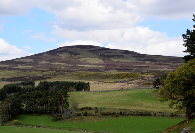
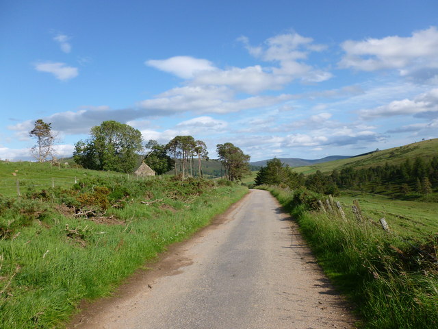
Ardler Wood is a picturesque forest located in Aberdeenshire, Scotland. Covering an area of approximately 200 acres, it is a popular destination for nature enthusiasts and outdoor lovers. The wood is situated just a few miles north of the town of Inverurie and is easily accessible by car or public transportation.

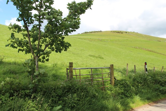
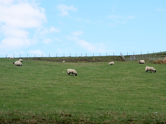
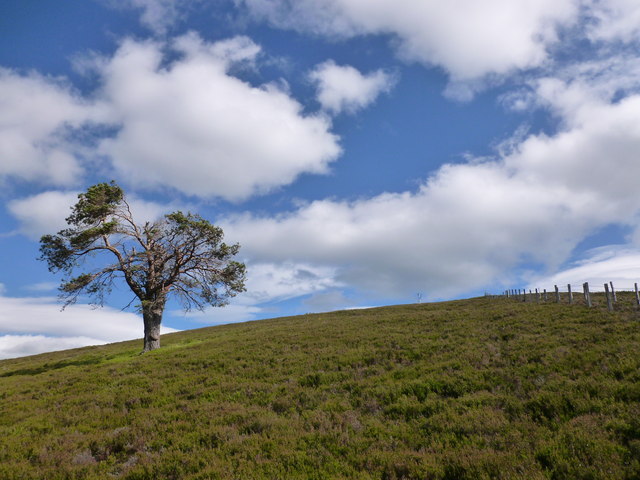
The woodland consists primarily of native trees such as oak, birch, and pine, creating a diverse and vibrant ecosystem. The trees are densely packed, forming a lush canopy that provides shade and shelter for a variety of wildlife. Visitors to Ardler Wood can expect to encounter a wide range of bird species, including woodpeckers, owls, and various songbirds.

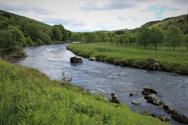
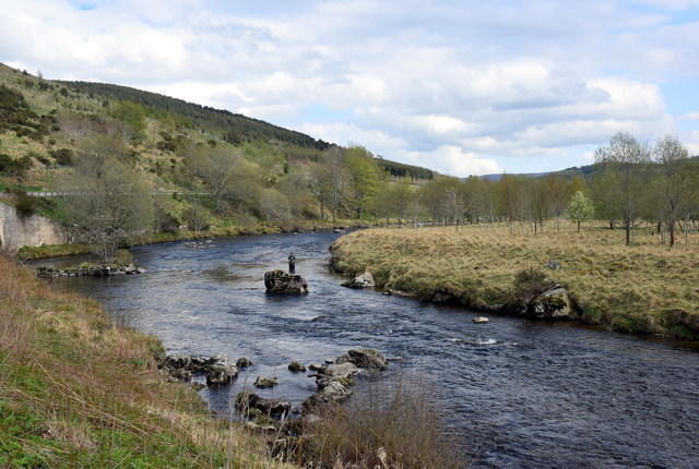
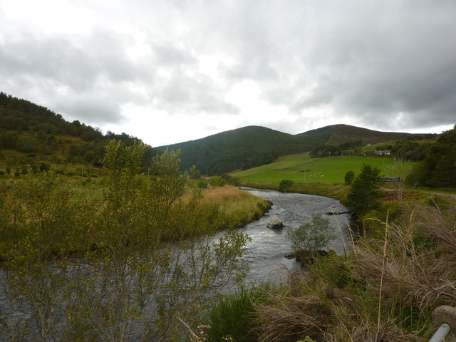
Tranquil walking trails wind their way through the woods, allowing visitors to explore the beauty of nature at their own pace. The paths are well-maintained and suitable for all ages and fitness levels. Along the way, hikers may come across babbling brooks, charming wildflowers, and the occasional glimpse of deer or squirrels.

Ardler Wood offers a peaceful retreat from the hustle and bustle of everyday life, providing a tranquil and serene setting for relaxation and reflection. It is a popular spot for picnicking, photography, and simply enjoying the sights and sounds of the forest.

Overall, Ardler Wood is a hidden gem in Aberdeenshire, offering a haven of natural beauty and tranquility for those seeking a peaceful escape in the heart of Scotland.

If you have any feedback on the listing, please let us know in the comments section below.
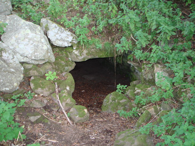
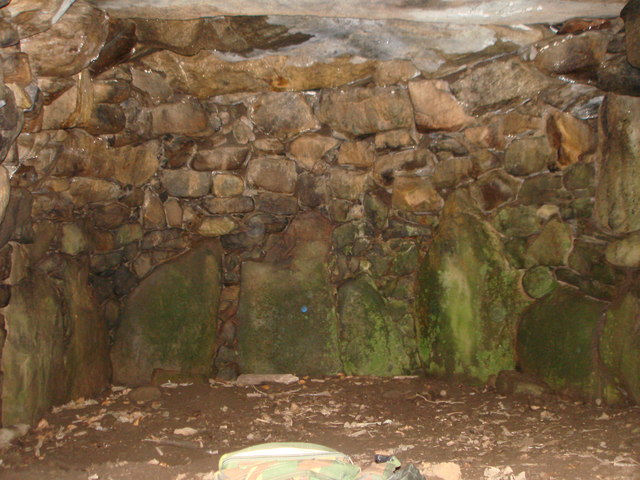
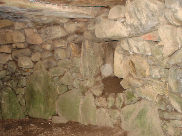
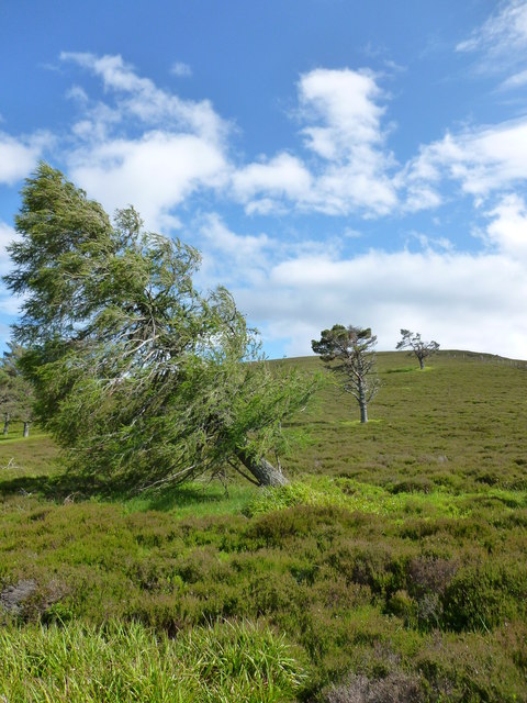
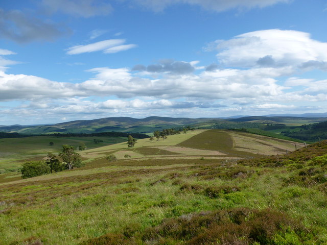
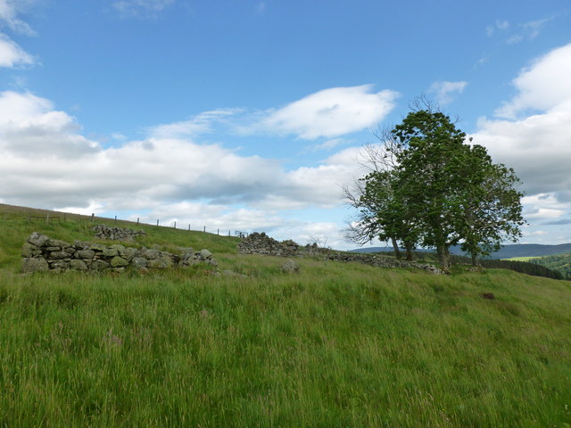
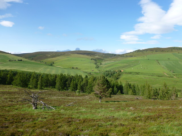
Ardler Wood Images

Images are sourced within 2km of 57.22575/-2.9624846 or Grid Reference NJ4115. Thanks to Geograph Open Source API. All images are credited.

Glenkindie souterrain The way into the souterrain at Gelnkindie - Sept.2007.
Glenkindie souterrain
The way into the souterrain at Gelnkindie - Sept.2007.
Glenkindie souterrain End chamber in Glenkindie souterrain - June,2008.
Glenkindie souterrain
End chamber in Glenkindie souterrain - June,2008.
Glenkindie souterrain Entrance to a side chamber in Glenkindie souterrain - Sept.2007.
Glenkindie souterrain
Entrance to a side chamber in Glenkindie souterrain - Sept.2007.
Old Milestone by the A97 near Bridge of Buchat Aberdeen granite milestone by the A97, in parish of Glenbuchat (Grampian District), Glenbuchat, West of bridge over Water of Buchat.

Inscription reads:-
40
(To Aberdeen)

Surveyed

Milestone Society National ID: AD_SDCB40
Old Milestone by the A97 near Bridge of Buchat
Aberdeen granite milestone by the A97, in parish of Glenbuchat (Grampian District), Glenbuchat, West of bridge over Water of Buchat. Inscription reads:- 40 (To Aberdeen) Surveyed Milestone Society National ID: AD_SDCB40
Field gate on Easter Buchat farm
A bend in the River Don
Fly fisherman in the Don A fly fisherman wading in the River Don at Bridge of Buchat.
Fly fisherman in the Don
A fly fisherman wading in the River Don at Bridge of Buchat.
Millhuie Hill... ...in Glen Buchat.
Millhuie Hill...
...in Glen Buchat.
Sheep on the slope... ...taken from the road into Glen Buchat, which just cuts into the corner of the grid-square.
Sheep on the slope...
...taken from the road into Glen Buchat, which just cuts into the corner of the grid-square.
River Don at Glenbuchat
Eastern gateway to Glenkindie House Off the A944.
Eastern gateway to Glenkindie House
Off the A944.
Lone tree on Millhuie Hill A pleasant hillside of heather moorland with a population of red deer.
Lone tree on Millhuie Hill
A pleasant hillside of heather moorland with a population of red deer.
Line of trees on Millhuie Hill A pleasant heathery hillside with a population of red deer.
Line of trees on Millhuie Hill
A pleasant heathery hillside with a population of red deer.
South-east slope of Millhuie Hill Looking towards Strathdon.
South-east slope of Millhuie Hill
Looking towards Strathdon.
Ruined farm steading above Ardler Wood This appears from old maps to be the remains of a farm called West Howemuir.
Ruined farm steading above Ardler Wood
This appears from old maps to be the remains of a farm called West Howemuir.
Upper Glen Kindie A view from the north east slope of Millhuie Hill.
Upper Glen Kindie
A view from the north east slope of Millhuie Hill.
Glen Kindie road at New Rinmore The farm of New Rinmore lies in ruins, while the original Rinmore is still going strong.
Glen Kindie road at New Rinmore
The farm of New Rinmore lies in ruins, while the original Rinmore is still going strong.
Souterrain in the grounds of Glenkindie House There are several souterrains of similar size and design in this area of Strathdon: this one has a sizeable side-chamber off the main passage
Souterrain in the grounds of Glenkindie House
There are several souterrains of similar size and design in this area of Strathdon: this one has a sizeable side-chamber off the main passage
Show me another place!

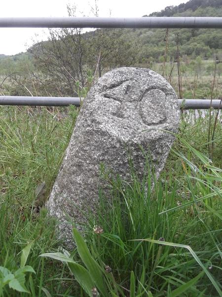
Ardler Wood is located at Grid Ref: NJ4115 (Lat: 57.22575, Lng: -2.9624846)

Unitary Authority: Aberdeenshire

Police Authority: North East

What 3 Words

///bothered.ruin.shapeless. Near Alford, Aberdeenshire

Nearby Locations

Ardler Wood

Related Wikis

Have you been to Ardler Wood?

Leave your review of Ardler Wood below (or comments, questions and feedback).