Brownie Wood
Wood, Forest in Fife
Scotland
Brownie Wood

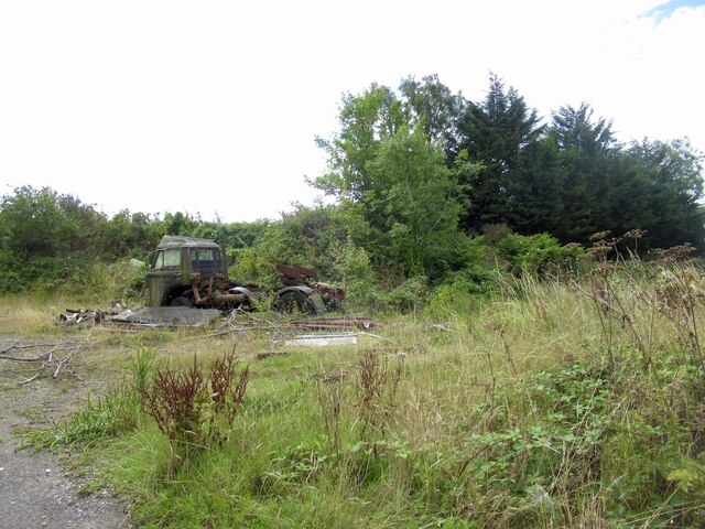
Brownie Wood is a lush forest located in Fife, Scotland. Covering an area of approximately 200 acres, it is renowned for its natural beauty and diverse ecosystem. The wood is primarily composed of deciduous trees such as oak, birch, and beech, creating a rich tapestry of colors during the autumn months.
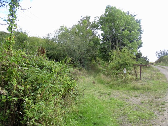
The forest is intersected by several walking trails, allowing visitors to explore its enchanting surroundings. These paths wind through a variety of habitats, including dense woodland, open glades, and babbling brooks. The diverse range of flora and fauna found within Brownie Wood makes it a haven for nature enthusiasts and wildlife lovers alike. It is home to a multitude of bird species, including woodpeckers, owls, and thrushes, as well as small mammals like red squirrels and hedgehogs.
In addition to its natural beauty, Brownie Wood also holds historical significance. The remains of an ancient settlement dating back to the Iron Age can be found within its boundaries, providing a glimpse into the area's past. Archaeological excavations have uncovered artifacts such as pottery fragments, tools, and even evidence of ancient farming practices.
To ensure the preservation of this precious ecosystem, Brownie Wood is managed by a local conservation organization. They work tirelessly to maintain the delicate balance of the forest, carrying out necessary maintenance and protecting it from potential threats.
Overall, Brownie Wood offers a tranquil escape from the hustle and bustle of everyday life. Its picturesque scenery, abundant wildlife, and rich history make it a must-visit destination for those seeking a connection with nature and a deeper understanding of Scotland's ancient past.
If you have any feedback on the listing, please let us know in the comments section below.
Brownie Wood Images
Images are sourced within 2km of 56.405653/-2.9968897 or Grid Reference NO3824. Thanks to Geograph Open Source API. All images are credited.


Brownie Wood is located at Grid Ref: NO3824 (Lat: 56.405653, Lng: -2.9968897)
Unitary Authority: Fife
Police Authority: Fife
What 3 Words
///custodian.bulldozer.took. Near Balmullo, Fife
Nearby Locations
Related Wikis
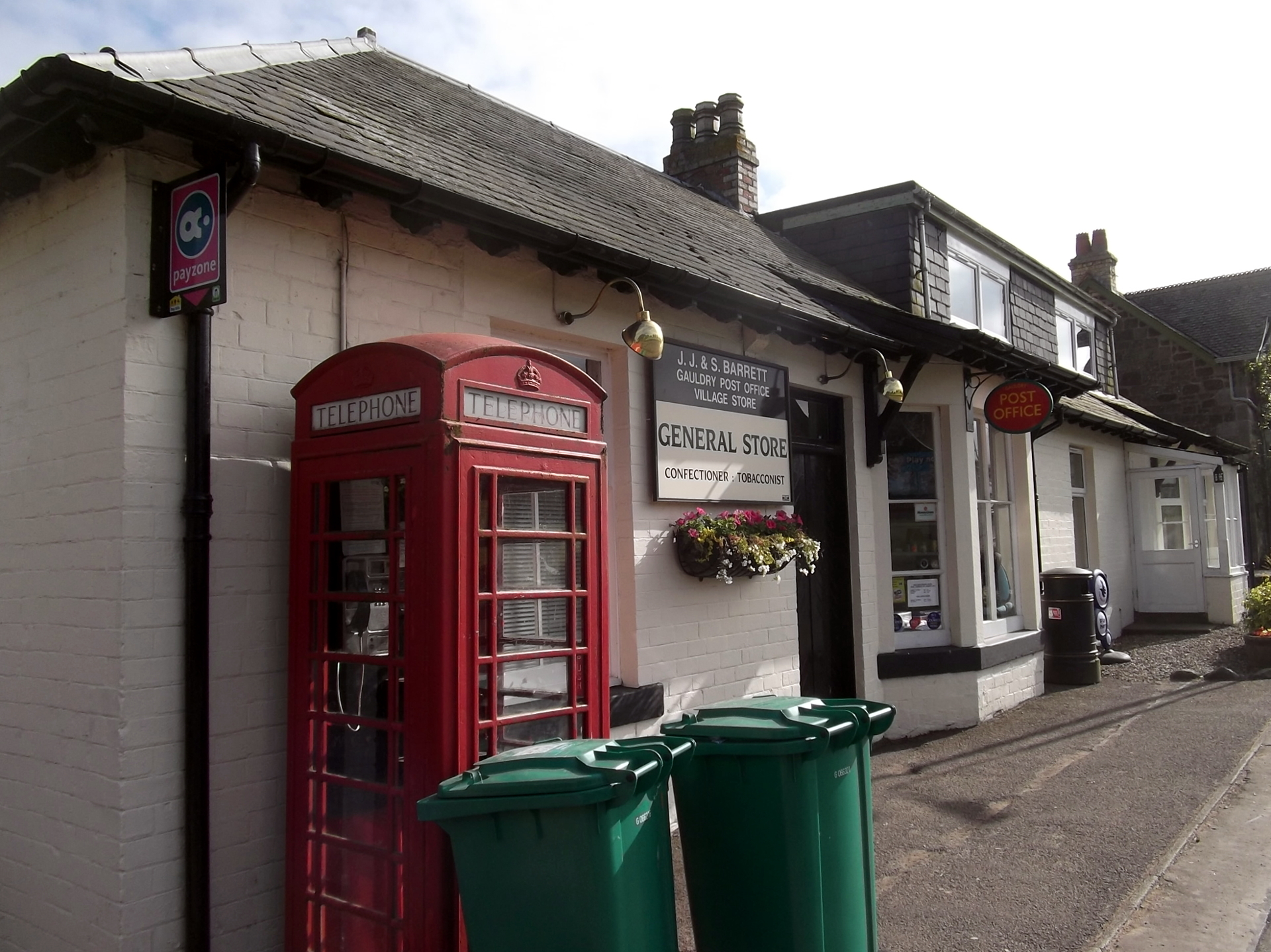
Gauldry
Gauldry, locally sometimes The Gauldry, is a village in Fife, Scotland. It is located 3 kilometres (1.9 mi) southwest of Newport on Tay, 2 kilometres...
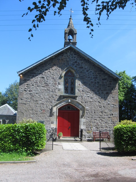
Balmerino Parish Church
Balmerino Parish Church is a Church of Scotland parish church in Bottomcraig, Fife, Scotland. The church sits in the centre of the small village where...
Bottomcraig
Bottomcraig is a village in Fife, Scotland located near Balmerino and The Gauldry. The village is home to Balmerino Parish Church, built in 1811, and the...

Kilmany
Kilmany (Scottish Gaelic: Cille Mheinidh) is a village and parish in Fife, Scotland. It is located on the A92 between Auchtermuchty and the Tay Road Bridge...
Nearby Amenities
Located within 500m of 56.405653,-2.9968897Have you been to Brownie Wood?
Leave your review of Brownie Wood below (or comments, questions and feedback).