Dandies Wood
Wood, Forest in Fife
Scotland
Dandies Wood

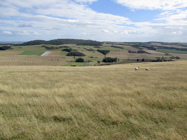
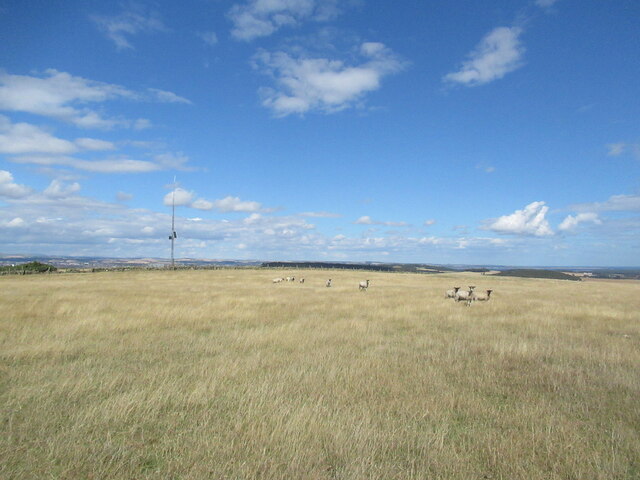
Dandies Wood is a charming forest located in Fife, Scotland. Covering an area of approximately 40 hectares, this woodland is a popular destination for nature enthusiasts and hikers alike. The forest is situated on the northern edge of the Lomond Hills Regional Park, offering visitors breathtaking views of the surrounding countryside.
Dandies Wood is predominantly composed of broadleaf trees, including oak, birch, and beech. The diverse range of tree species creates a rich and vibrant ecosystem, supporting a variety of wildlife. Birdwatchers can spot numerous species, such as woodpeckers, owls, and various songbirds, while small mammals like red squirrels and rabbits can also be spotted among the trees.
The woodland is crisscrossed by a network of well-maintained trails, making it ideal for leisurely strolls or more challenging hikes. These paths lead visitors through a mixture of dense woodland and open glades, offering a diverse and ever-changing landscape to explore. The tranquility of the forest provides a perfect escape from the hustle and bustle of everyday life, allowing visitors to immerse themselves in the natural beauty of the surroundings.
Dandies Wood is also known for its historical significance. The remains of an Iron Age hill fort can be found within the forest, adding an element of intrigue and ancient history to the area. This archaeological site serves as a reminder of the rich cultural heritage that is embedded within the woodlands of Fife.
Overall, Dandies Wood offers a serene and picturesque setting for individuals seeking to connect with nature and explore the wonders of Scotland's woodlands.
If you have any feedback on the listing, please let us know in the comments section below.
Dandies Wood Images
Images are sourced within 2km of 56.397861/-2.9971234 or Grid Reference NO3823. Thanks to Geograph Open Source API. All images are credited.


Dandies Wood is located at Grid Ref: NO3823 (Lat: 56.397861, Lng: -2.9971234)
Unitary Authority: Fife
Police Authority: Fife
What 3 Words
///bronzer.equipping.windmills. Near Balmullo, Fife
Nearby Locations
Related Wikis
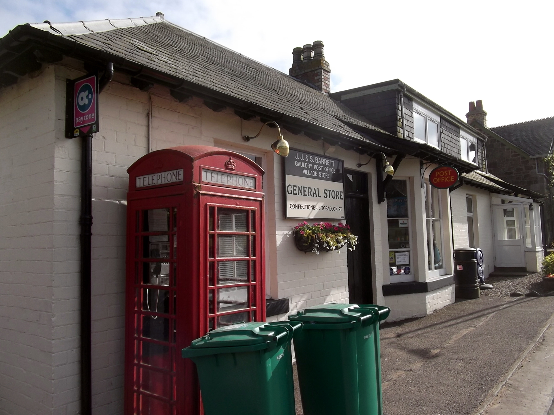
Gauldry
Gauldry, locally sometimes The Gauldry, is a village in Fife, Scotland. It is located 3 kilometres (1.9 mi) southwest of Newport on Tay, 2 kilometres...

Kilmany
Kilmany (Scottish Gaelic: Cille Mheinidh) is a village and parish in Fife, Scotland. It is located on the A92 between Auchtermuchty and the Tay Road Bridge...

Kilmany railway station
Kilmany railway station served the village of Kilmany, Fife, Scotland from 1909 to 1951 on the Newburgh and North Fife Railway. == History == The station...
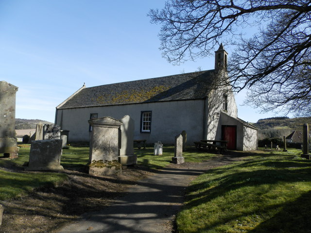
Kilmany Parish Church
Kilmany Parish Church is an ancient church building in Kilmany, Fife, Scotland. Dating to 1768, it is Category A listed.The church's pulpit was re-seated...
Nearby Amenities
Located within 500m of 56.397861,-2.9971234Have you been to Dandies Wood?
Leave your review of Dandies Wood below (or comments, questions and feedback).