Nursery Wood

Wood, Forest in Selkirkshire

Scotland

Nursery Wood

Overgrown borrow pit Hyndhope Forest.
Overgrown borrow pit Credit: Richard Webb

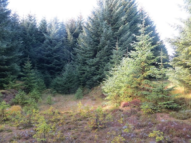
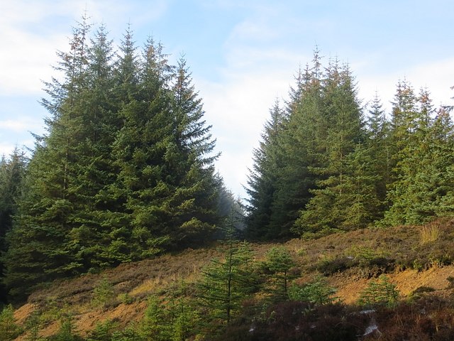
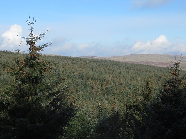
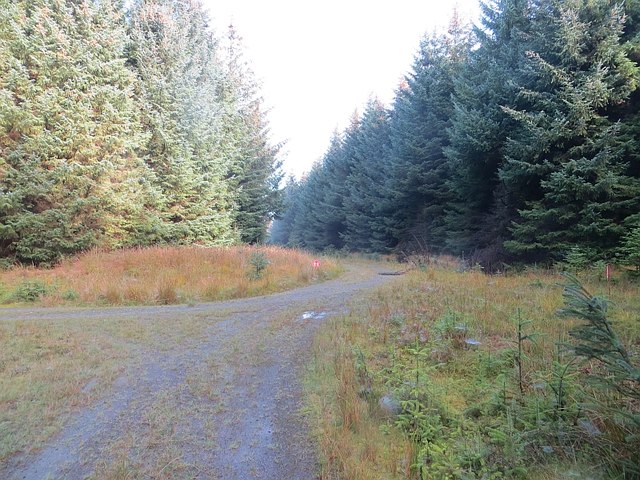
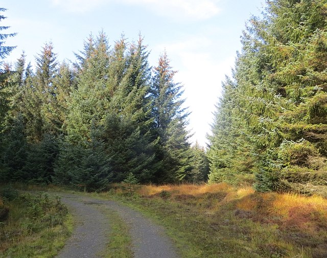
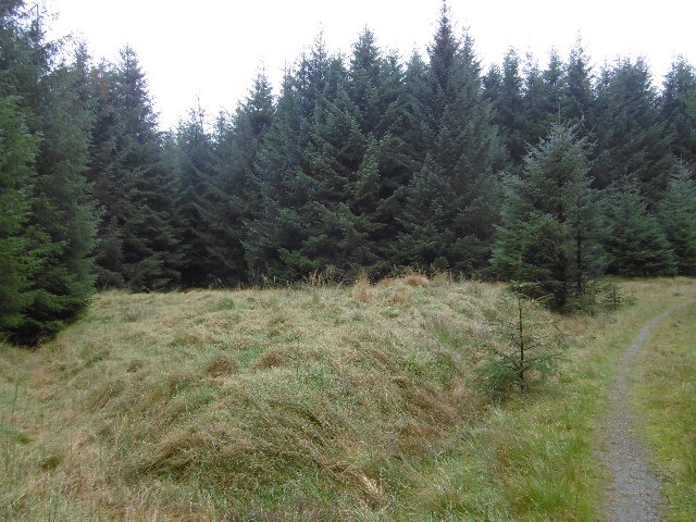
Nursery Wood is a beautiful forest located in Selkirkshire, Scotland. Covering an area of approximately 50 hectares, this woodland is a haven for nature enthusiasts and offers a range of outdoor recreational activities.

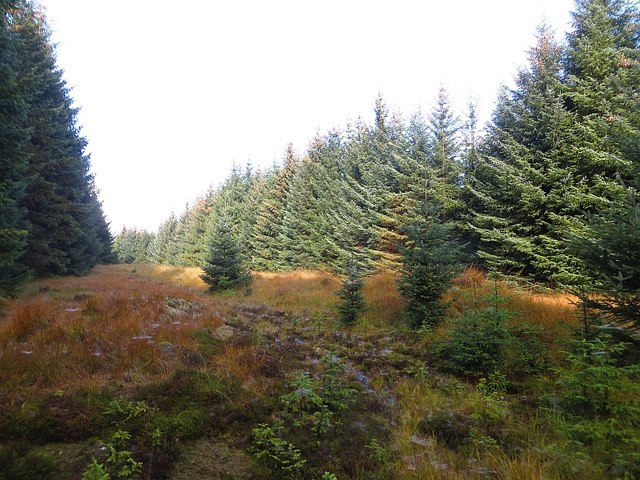
The wood is primarily composed of native tree species, including oak, beech, birch, and Scots pine, creating a diverse and vibrant ecosystem. The trees provide important habitats for a variety of wildlife, including birds, small mammals, and insects. Nature lovers can spot species such as red squirrels, woodpeckers, and deer within the wood.

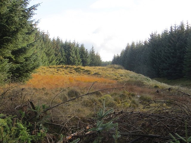
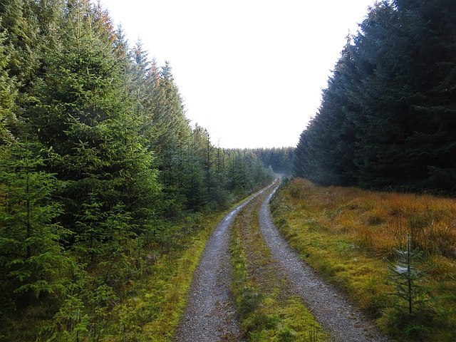
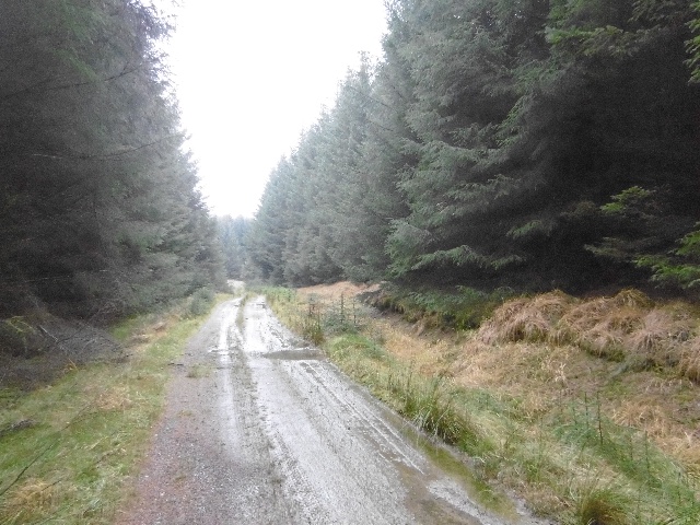
Nursery Wood is well-maintained and offers a network of walking trails that meander through the forest. These trails vary in length and difficulty, catering to both casual strollers and avid hikers. Along the paths, visitors can enjoy breathtaking views of the surrounding countryside, with rolling hills and picturesque valleys.

In addition to walking, the wood is also a popular destination for picnicking and camping. There are designated areas equipped with picnic tables and facilities for barbecues, making it an ideal spot for families and groups to enjoy a day out in nature. For those looking to spend the night, there are camping spots available, allowing visitors to fully immerse themselves in the tranquility of the woodland.

Overall, Nursery Wood in Selkirkshire offers a delightful escape from the hustle and bustle of everyday life. With its diverse wildlife, scenic trails, and recreational activities, it is a must-visit destination for nature lovers and outdoor enthusiasts alike.

If you have any feedback on the listing, please let us know in the comments section below.
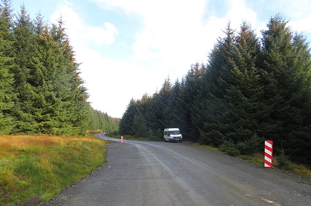
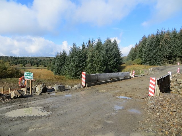
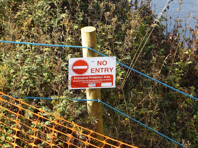
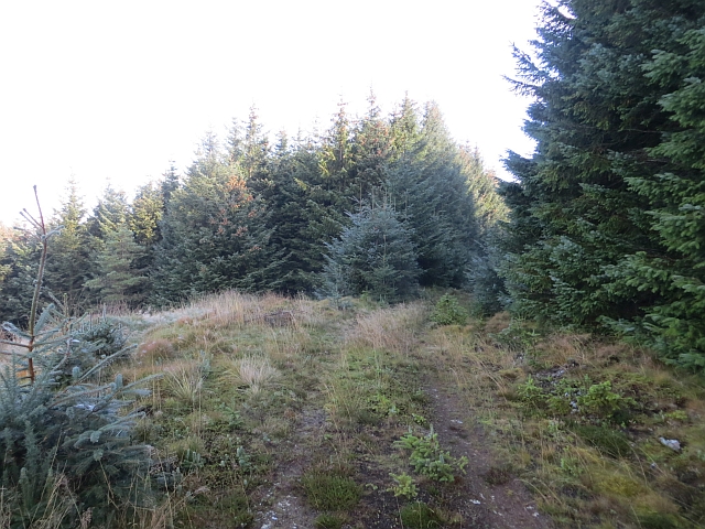
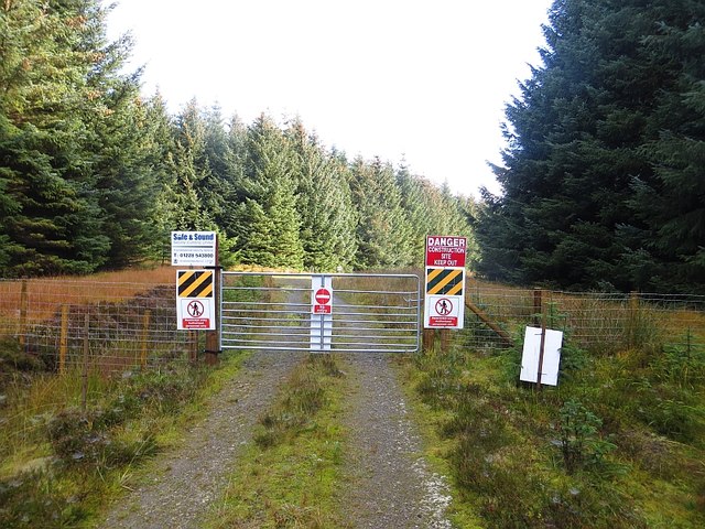
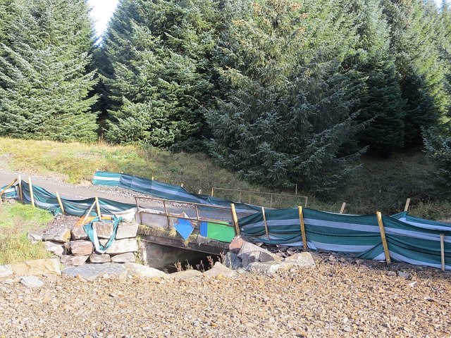
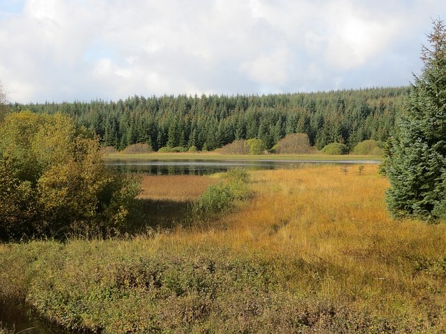
Nursery Wood Images

Images are sourced within 2km of 55.472465/-2.9796221 or Grid Reference NT3820. Thanks to Geograph Open Source API. All images are credited.

Overgrown borrow pit Hyndhope Forest.
Overgrown borrow pit
Hyndhope Forest.
Ride, Hyndhope Forest A rare break in the trees in Hyndhope Forest. The northern most track shown on the Ordnance Survey 1:25,000 map is just a rough grass ride.
Ride, Hyndhope Forest
A rare break in the trees in Hyndhope Forest. The northern most track shown on the Ordnance Survey 1:25,000 map is just a rough grass ride.
Hyndhope Forest Looking over the tree tops near Dodhead.
Hyndhope Forest
Looking over the tree tops near Dodhead.
Clearing, Hyndhope Forest An unplanted bit of ground beside Potloch Sike.
Clearing, Hyndhope Forest
An unplanted bit of ground beside Potloch Sike.
Crossroads, Shiel Knowe Logging roads in Hyndhope Forest.  The red sign is a path diversion off a wind farm construction route from Alemoor Loch. Being a Saturday, I used the road.
Crossroads, Shiel Knowe
Logging roads in Hyndhope Forest. The red sign is a path diversion off a wind farm construction route from Alemoor Loch. Being a Saturday, I used the road.
Road and ride, Hyndhope Forest Oh the scenery!
Road and ride, Hyndhope Forest
Oh the scenery!
Ride, Hyndhope Forest There is a rough track up along the ride.
Ride, Hyndhope Forest
There is a rough track up along the ride.
Road, Hyndhope Forest
Wind farm road, Hyndhope Forest Other than parked up fishermen, deserted on a Saturday.
Wind farm road, Hyndhope Forest
Other than parked up fishermen, deserted on a Saturday.
New bridge, Hyndhope Near Shaws Upper Loch (background). The bridge augments the older one which is not up to wind farm construction traffic.

Note the life saving equipment for  a tiny burn.
New bridge, Hyndhope
Near Shaws Upper Loch (background). The bridge augments the older one which is not up to wind farm construction traffic. Note the life saving equipment for a tiny burn.
No entry "Ecological protection area" beside a more or less uncrossable bog.  Normally I only show the back of keep out signs here, but this one gets through on the grounds that it shows that wind farmers really care about the environment.
No entry
"Ecological protection area" beside a more or less uncrossable bog. Normally I only show the back of keep out signs here, but this one gets through on the grounds that it shows that wind farmers really care about the environment.
Track above Dodhead Dense conifers in Hyndhope Forest.
Track above Dodhead
Dense conifers in Hyndhope Forest.
Hyndhope Forest A track rising from a crossing of Potloch Sike.
Hyndhope Forest
A track rising from a crossing of Potloch Sike.
A nasty surprise Wind farmers!  Completely over the top and treated as such. I was able to get through to the B711 without encountering any construction or construction workers. There were plenty of fishermen though! The wind farm was not in the forest but messing up the moorland to the east.
A nasty surprise
Wind farmers! Completely over the top and treated as such. I was able to get through to the B711 without encountering any construction or construction workers. There were plenty of fishermen though! The wind farm was not in the forest but messing up the moorland to the east.
Old bridge, Langhope Burn The former logging road now replaced by a wider construction road for a wind farm with stronger bridges.

Older view, before the wind farm: <a href="https://www.geograph.org.uk/photo/393850">NT3818 : Bridge, near Shaw's Upper Loch</a>
Old bridge, Langhope Burn
The former logging road now replaced by a wider construction road for a wind farm with stronger bridges. Older view, before the wind farm: NT3818 : Bridge, near Shaw's Upper Loch
Shaws Upper Loch
Shaws Upper Loch
Logging road, Black Rig Very dense Sitka, bound for the Chirk chipboard factory.
Logging road, Black Rig
Very dense Sitka, bound for the Chirk chipboard factory.
Clearing, Black Rig Ride end in Hyndhope Forest.
Clearing, Black Rig
Ride end in Hyndhope Forest.
Show me another place!

Nursery Wood is located at Grid Ref: NT3820 (Lat: 55.472465, Lng: -2.9796221)

Unitary Authority: The Scottish Borders

Police Authority: The Lothians and Scottish Borders

What 3 Words

///contact.footballers.wager. Near Ettrick, Scottish Borders

Related Wikis

Selkirkshire

Selkirkshire or the County of Selkirk (Scottish Gaelic: Siorrachd Shalcraig) is a historic county and registration county of Scotland. It borders Peeblesshire...

Ettrickbridge

Ettrickbridge (Scottish Gaelic: Drochaid Eadaraig) is a village situated in the Scottish Borders region of Scotland, 7 miles (11 km) from the nearby town...

Alemoor Loch

Alemoor Loch, also known as Alemoor Reservoir, is a small reservoir in the Scottish Borders area of Scotland. It is situated on the Ale Water, 10 kilometres...

Kirkhope Tower

Kirkhope Tower is a Scottish Pele, located in the Ettrick Valley, in the historic county of Selkirkshire, now a division of the Scottish Borders. The tower...

Oakwood Roman Fort and Camp

Oakwood Roman Fort and Camp is a British archaeological site, a Roman fort and nearby Roman camp, about 3.5 miles (5.6 km) south-west of Selkirk in the...

Aikwood Tower

Aikwood Tower (formerly known as Oakwood Tower) is a 16th-century tower house in the Scottish Borders area of Scotland, 4 miles (6 kilometres) southwest...

Roberton, Scottish Borders

Roberton is a small village in the Scottish Borders area of Scotland, on the B711 and near to the A7, 5 miles (8 kilometres) from Hawick, 22 mi (35 km...

Yarrow, Scottish Borders

Yarrow is a place and parish in the Scottish Borders area of Scotland and in the former county of Selkirkshire.The name "Yarrow" may derive from the Celtic...

Nearby Amenities

Located within 500m of 55.472465,-2.9796221
Power: pole
Lat/Long: 55.4766142/-2.9819913
Power: pole
Lat/Long: 55.4763168/-2.9826491
Power: pole
Lat/Long: 55.4766573/-2.9818178
The data included in this document is from www.openstreetmap.org. The data is made available under ODbL.

Have you been to Nursery Wood?

Leave your review of Nursery Wood below (or comments, questions and feedback).