Burnpark Wood
Wood, Forest in Banffshire
Scotland
Burnpark Wood

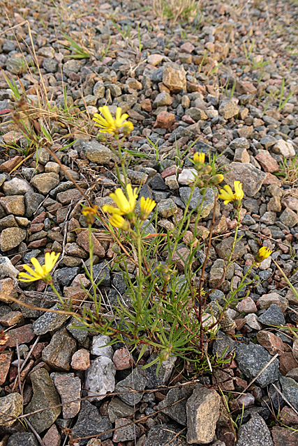
Burnpark Wood is a picturesque woodland located in Banffshire, Scotland. This enchanting forest covers an area of approximately 100 hectares and is known for its diverse range of flora and fauna. It is situated near the village of Rothiemay, just a few miles from the banks of the River Deveron.
The wood is predominantly made up of native tree species such as oak, birch, and rowan, which create a dense canopy of foliage. This creates a perfect habitat for a variety of wildlife, including red squirrels, roe deer, and a wide range of bird species such as woodpeckers and owls.
Visitors to Burnpark Wood can enjoy a network of well-maintained walking trails that wind their way through the forest, allowing them to immerse themselves in its natural beauty. The trails range from short, leisurely strolls to longer, more challenging hikes, catering to all levels of fitness and interest.
One of the highlights of the wood is the presence of a small, tranquil loch, which adds to its charm. This provides a peaceful spot for visitors to sit and observe the wildlife or simply enjoy the serenity of the surroundings.
Burnpark Wood is also an important site for conservation efforts, with ongoing management practices in place to protect and enhance its biodiversity. These include tree planting initiatives and the creation of habitats to encourage the survival of rare and endangered species.
Overall, Burnpark Wood offers a delightful escape for nature lovers and outdoor enthusiasts, providing a haven of tranquility and natural beauty in the heart of Banffshire.
If you have any feedback on the listing, please let us know in the comments section below.
Burnpark Wood Images
Images are sourced within 2km of 57.499321/-3.0367372 or Grid Reference NJ3745. Thanks to Geograph Open Source API. All images are credited.


Burnpark Wood is located at Grid Ref: NJ3745 (Lat: 57.499321, Lng: -3.0367372)
Unitary Authority: Moray
Police Authority: North East
What 3 Words
///crackling.rollover.flush. Near Keith, Moray
Nearby Locations
Related Wikis

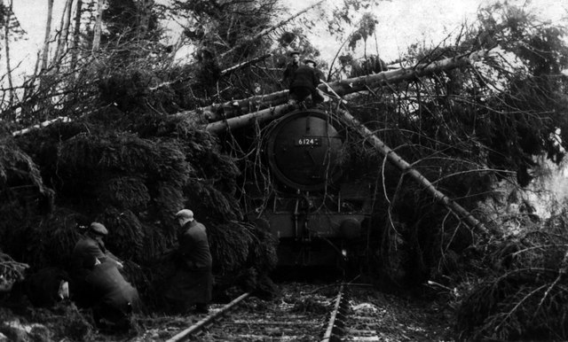
Towiemore Halt railway station
Towiemore Halt railway station served the hamlet of Towiemore and its distillery as a private and later as a public halt in Moray, Scotland, from 1937...

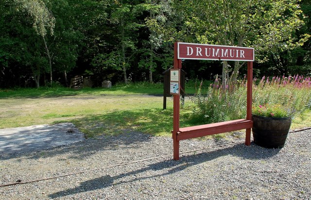
Drummuir railway station
Drummuir railway station is a preserved station that serves the village of Drummuir, Moray, Scotland on the Keith and Dufftown Railway. The station also...
Drummuir
Drummuir (Scottish Gaelic: Druim Iubhair) is a small village in Scotland, in the traditional county of Banffshire, and in the Moray council area. It is...

Banffshire
Banffshire (; Scots: Coontie o Banffshire; Scottish Gaelic: Siorrachd Bhanbh) is a historic county, registration county and lieutenancy area of Scotland...
Nearby Amenities
Located within 500m of 57.499321,-3.0367372Have you been to Burnpark Wood?
Leave your review of Burnpark Wood below (or comments, questions and feedback).