Alderdean

Wood, Forest in Midlothian

Scotland

Alderdean

The drive, Vogrie House
The drive, Vogrie House Credit: Richard Webb

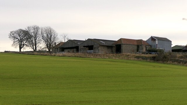
Alderdean, located in Midlothian, Scotland, is a charming village nestled amidst lush woodlands and scenic forested areas. Situated approximately 15 miles south of Edinburgh, it offers residents and visitors a tranquil retreat from the bustling city life.

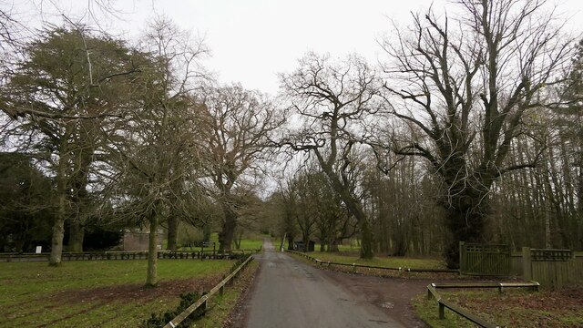
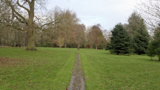
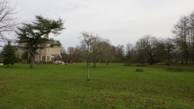
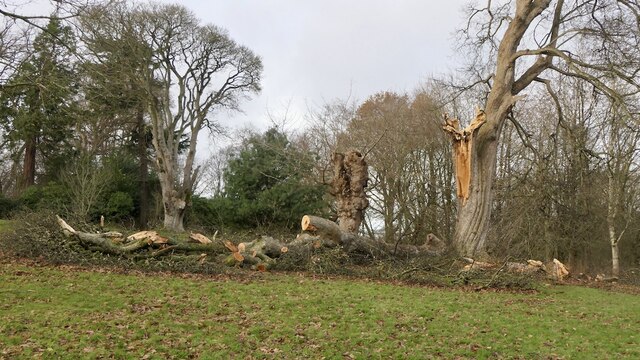
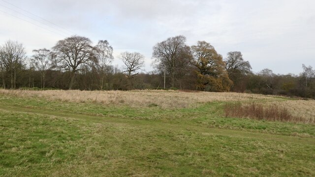
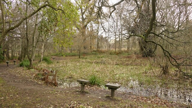
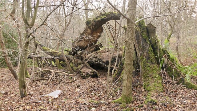
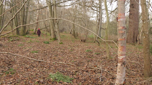
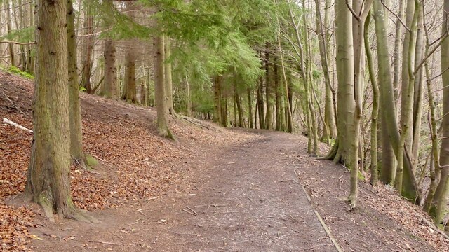
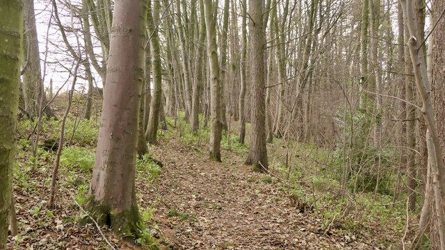
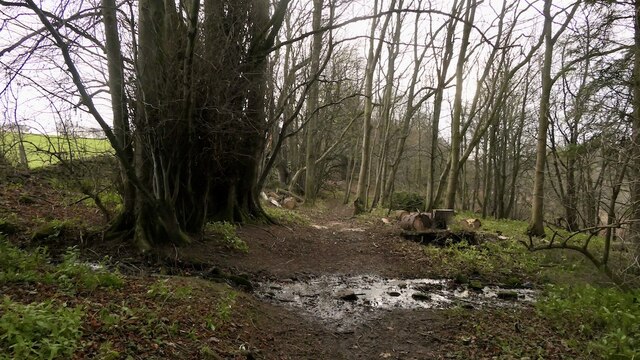
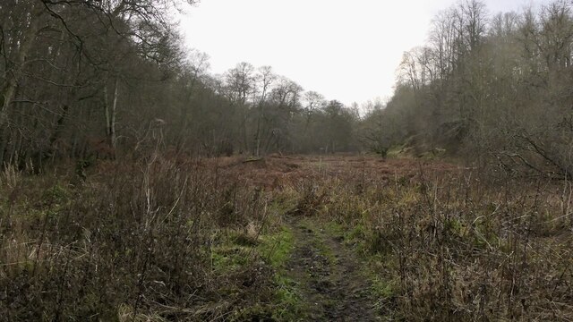
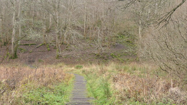
The village is characterized by its picturesque surroundings, with an abundance of ancient woodlands and well-preserved forests. The area is known for its diverse wildlife, including deer, foxes, and a variety of bird species, making it a haven for nature enthusiasts and birdwatchers.

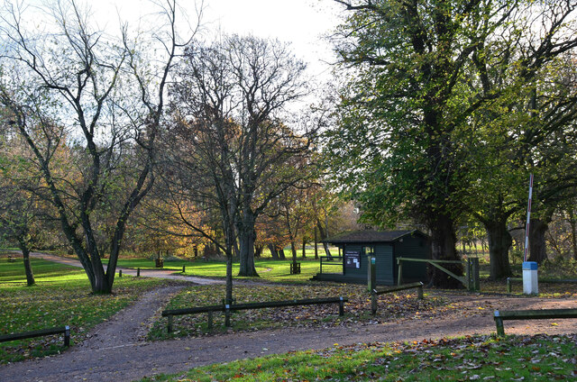
Alderdean is a close-knit community, with a small population that values its strong sense of community spirit. The village boasts a range of amenities, including a local shop, a primary school, and a community center, providing residents with convenient access to essential services.

For outdoor enthusiasts, the nearby Pentland Hills Regional Park offers a wealth of recreational activities, such as hiking, mountain biking, and horse riding. The park's extensive network of trails allows visitors to explore the stunning natural landscapes and enjoy breathtaking views of the surrounding countryside.

The village is well-connected to nearby towns and cities, with regular bus services providing easy access to Edinburgh and other surrounding areas. Additionally, the village has good road connections, making it easily accessible for motorists.

Alderdean, Midlothian, with its idyllic woodlands, thriving wildlife, and strong sense of community, offers a peaceful and picturesque setting for residents and visitors alike.

If you have any feedback on the listing, please let us know in the comments section below.

Alderdean Images

Images are sourced within 2km of 55.853972/-2.9926672 or Grid Reference NT3762. Thanks to Geograph Open Source API. All images are credited.

The drive, Vogrie House
Railway, Vogrie Country Park
Vogrie House Notes on the history of this estate, now owned and run as a country park by Midlothian Council can be found here: <a href="https://www.geograph.org.uk/photo/2141929">NT3863 : Vogrie House</a>
Vogrie House
Notes on the history of this estate, now owned and run as a country park by Midlothian Council can be found here: NT3863 : Vogrie House
Storm damage, Vogrie Country Park After the northerly gales on 26th November 2021. There are a lot of aged trees here.
Storm damage, Vogrie Country Park
After the northerly gales on 26th November 2021. There are a lot of aged trees here.
Giant trike sculpture, Vogrie Country Park
Former field, Vogrie Now an open space in the country park.
Former field, Vogrie
Now an open space in the country park.
Pond, Vogrie Country Park
Fallen tree, Vogrie Country Park There is a lot of fallen dead wood at Vogrie which enhances the biodiversity of the woodlands.
Fallen tree, Vogrie Country Park
There is a lot of fallen dead wood at Vogrie which enhances the biodiversity of the woodlands.
Crow Wood, Vogrie
Crow Wood, Vogrie
Path, Vogrie Wood Descending to the Tyne Water, following the Vogrie Burn.
Path, Vogrie Wood
Descending to the Tyne Water, following the Vogrie Burn.
Tyne Water, Vogrie One of those rivers which is a tributary of a watercourse with a similar name. It flows into the River Tyne which gains much of its flow from the Humbie/Birnie/Colstoun Waters.
Tyne Water, Vogrie
One of those rivers which is a tributary of a watercourse with a similar name. It flows into the River Tyne which gains much of its flow from the Humbie/Birnie/Colstoun Waters.
Path, Vogrie Wood On the edge of the woodland, high above the Tyne Water.
Path, Vogrie Wood
On the edge of the woodland, high above the Tyne Water.
Turniedykes by Pathhead
Turniedykes Strip Not a stripwood, but part of the Vogrie Estate woodlands. The path runs along the eastern edge of the wood, high above the Tyne Water. The burn is the outflow of field drains.
Turniedykes Strip
Not a stripwood, but part of the Vogrie Estate woodlands. The path runs along the eastern edge of the wood, high above the Tyne Water. The burn is the outflow of field drains.
Alderdean Marshland beside the Tyne Water, Vogrie
Alderdean
Marshland beside the Tyne Water, Vogrie
Path, Alderdean Raised walkway over a marsh.
Path, Alderdean
Raised walkway over a marsh.
Cafe, Vogrie House
Cafe, Vogrie House
Drive to Vogrie House The grounds of the 19th century Vogrie House are now a Country Park, managed by Midlothian Council. The hut is an information point.
Drive to Vogrie House
The grounds of the 19th century Vogrie House are now a Country Park, managed by Midlothian Council. The hut is an information point.
Show me another place!

Alderdean is located at Grid Ref: NT3762 (Lat: 55.853972, Lng: -2.9926672)

Unitary Authority: Midlothian

Police Authority: The Lothians and Scottish Borders

What 3 Words

///overtime.consented.pushes. Near Gorebridge, Midlothian

Nearby Locations

Alderdean Tile Works Wood

Related Wikis

Vogrie House

Vogrie House forms the centrepiece of Vogrie Country Park in Midlothian. It was built for James Dewar and his family in 1876 by Andrew Heiton, the town...

Vogrie Country Park

Vogrie Country Park in Scotland is managed by Midlothian Council. It consists of a woodland estate surrounding the Victorian Vogrie House. It is located...

Crichton, Midlothian

Crichton is a small village and civil parish in Midlothian, Scotland, around 2 miles (3 km) south of Pathhead and the same distance east of Gorebridge...

Crichton Collegiate Church

Crichton Collegiate Church is situated about 0.6 miles (0.97 km) south-west of the hamlet of Crichton in Midlothian, Scotland. == Origins and Pre-Reformation... ==

Nearby Amenities

Located within 500m of 55.853972,-2.9926672
Railway: level_crossing
Lat/Long: 55.8568414/-2.9950527
Cafe
Treetop Cafe
Cuisine: cake;ice_cream
Email: treetopcafe@outlook.com
Lat/Long: 55.8580879/-2.9907929
Giant Chairs
Source: survey
Tourism: artwork
Lat/Long: 55.8582099/-2.9931654
Currie Lee
Place: isolated_dwelling
Lat/Long: 55.8511679/-2.9866188
Railway: station
Usage: tourism
Lat/Long: 55.8566642/-2.9951856
Railway: level_crossing
Lat/Long: 55.8567213/-2.9973808
Railway: level_crossing
Lat/Long: 55.8566013/-2.9972718
Vogrie Equestrian
Leisure: horse_riding
Lat/Long: 55.853626/-2.9998197
Leisure: picnic_table
Lat/Long: 55.8580237/-2.9909209
Leisure: picnic_table
Lat/Long: 55.8580038/-2.9908773
Leisure: picnic_table
Lat/Long: 55.8579757/-2.9908642
Leisure: picnic_table
Lat/Long: 55.8579891/-2.9909004
Leisure: picnic_table
Lat/Long: 55.8580023/-2.9909357
Leisure: picnic_table
Lat/Long: 55.8580168/-2.9909749
Waste Basket
Waste: trash
Lat/Long: 55.8581007/-2.9910775
Entrance: yes
Lat/Long: 55.8580573/-2.9908277
Power: pole
Lat/Long: 55.8563552/-2.9861599
Power: pole
Lat/Long: 55.8568873/-2.9893125
Bench
Backrest: no
Lat/Long: 55.8558275/-2.9899887
Bench
Backrest: no
Lat/Long: 55.8569111/-2.9896944
The data included in this document is from www.openstreetmap.org. The data is made available under ODbL.

Have you been to Alderdean?

Leave your review of Alderdean below (or comments, questions and feedback).