Black Park
Wood, Forest in Aberdeenshire
Scotland
Black Park

The requested URL returned error: 429 Too Many Requests
If you have any feedback on the listing, please let us know in the comments section below.
Black Park Images
Images are sourced within 2km of 57.039834/-3.0304118 or Grid Reference NO3794. Thanks to Geograph Open Source API. All images are credited.


Black Park is located at Grid Ref: NO3794 (Lat: 57.039834, Lng: -3.0304118)
Unitary Authority: Aberdeenshire
Police Authority: North East
What 3 Words
///amuses.scanning.entrusted. Near Ballater, Aberdeenshire
Nearby Locations
Related Wikis
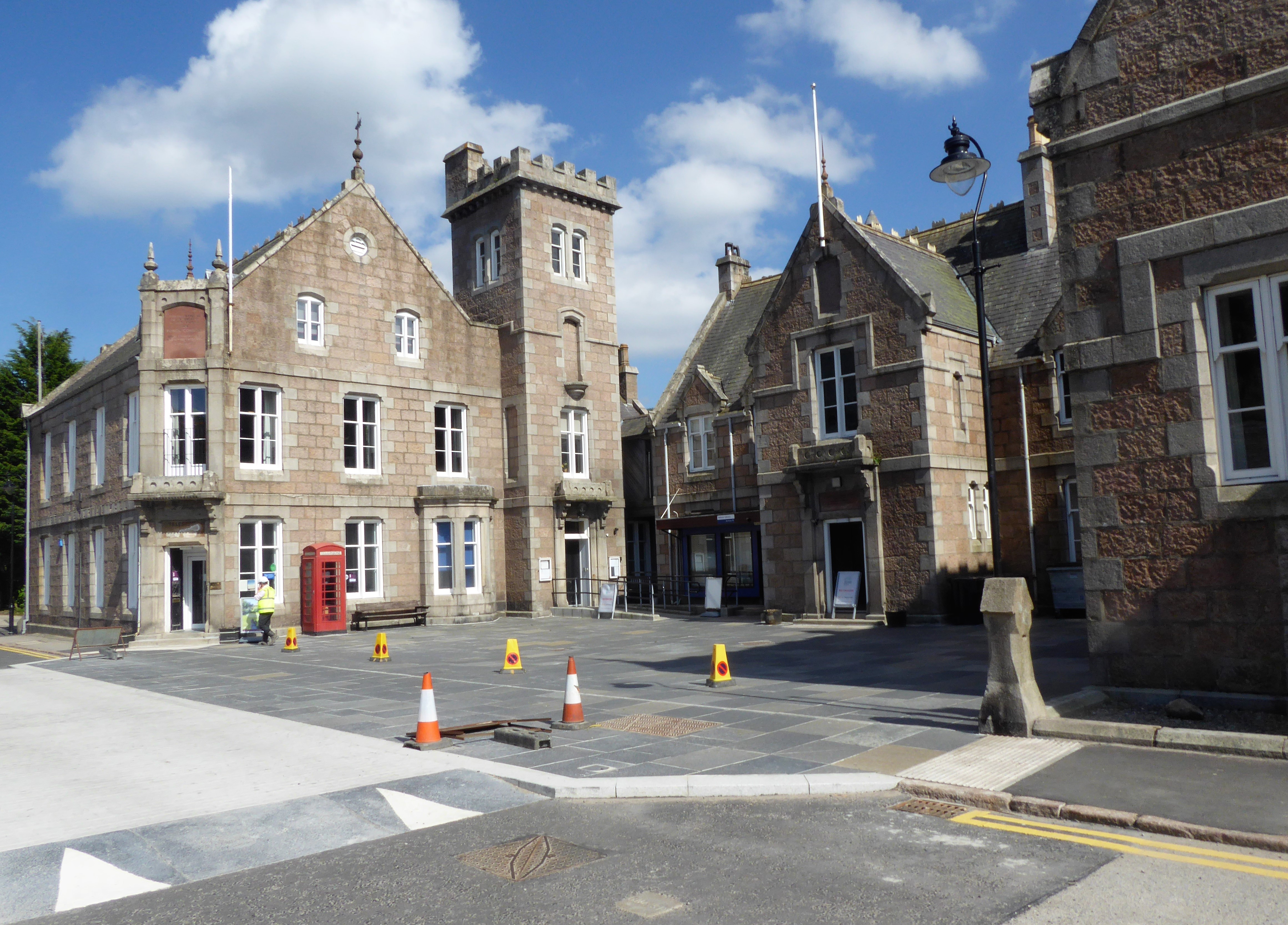
Victoria and Albert Halls
The Victoria and Albert Halls is a complex of municipal buildings in Station Square, Ballater, Aberdeenshire, Scotland. The structure, which accommodates...
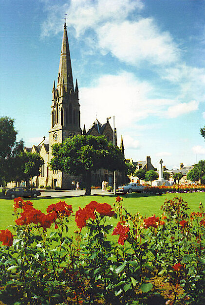
Ballater
Ballater (, Scottish Gaelic: Bealadair) is a village in Aberdeenshire, Scotland, on the River Dee, immediately east of the Cairngorm Mountains. Situated...

Ballater railway station
Ballater railway station is a former station in the village of Ballater in Aberdeenshire, Scotland. The station was formerly the terminus of a branch line...
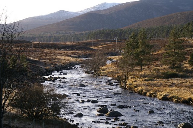
River Muick
River Muick () is a river of the Grampian Mountains of Aberdeenshire, Scotland. A tributary of the River Dee, it flows for about 6 kilometres (3.7 mi)...
Nearby Amenities
Located within 500m of 57.039834,-3.0304118Have you been to Black Park?
Leave your review of Black Park below (or comments, questions and feedback).