Chapel Brae

Wood, Forest in Fife

Scotland

Chapel Brae

Bonnybank Road into village from Kennoway
Bonnybank Credit: James Allan

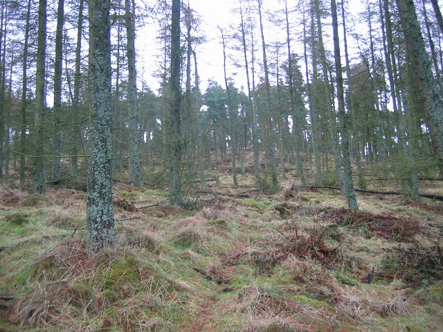
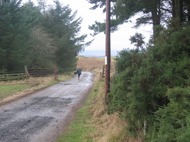
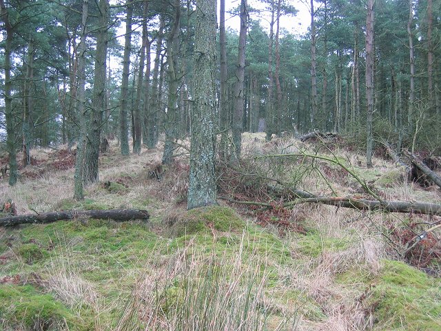
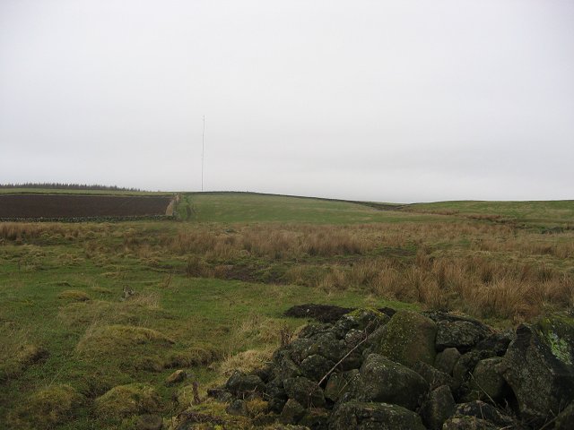
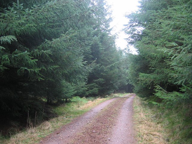
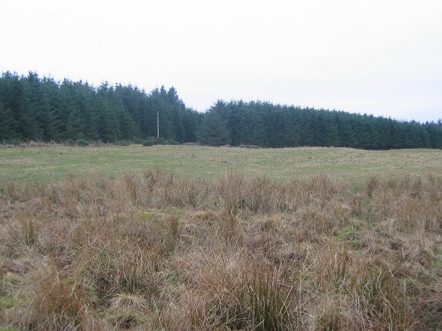
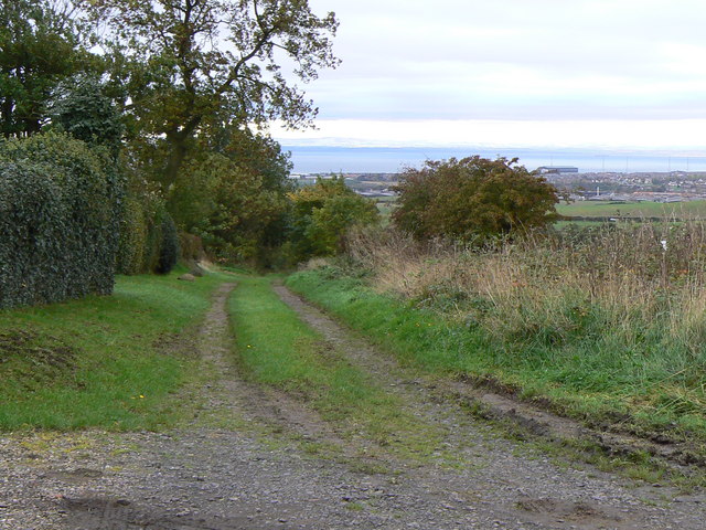
Chapel Brae is a picturesque wood located in Fife, Scotland. This enchanting forest is nestled within the idyllic countryside, offering visitors a tranquil and serene escape from the hustle and bustle of urban life.

Covering an area of approximately 20 acres, Chapel Brae is a diverse woodland that features a variety of tree species, including oak, beech, and birch. The forest floor is adorned with an array of wildflowers, adding a splash of vibrant colors to the landscape. The dense foliage provides a habitat for numerous bird species, making it a haven for birdwatchers and nature enthusiasts.

The wood is crisscrossed by a network of well-maintained paths, allowing visitors to explore the area and discover hidden gems along the way. These paths wind through the forest, leading to an ancient chapel ruin that dates back to the 12th century. The chapel ruins, surrounded by towering trees, evoke a sense of mystery and intrigue, transporting visitors back in time.

Chapel Brae also offers stunning views of the surrounding countryside, with rolling hills and meandering streams in the distance. It is a popular spot for picnics, with several designated picnic areas scattered throughout the wood. The peaceful atmosphere and natural beauty of Chapel Brae make it an ideal destination for relaxation, photography, and connecting with nature.

Overall, Chapel Brae in Fife is a captivating wood that showcases the beauty of Scotland's natural landscapes. Its rich history, diverse flora and fauna, and breathtaking views make it a must-visit destination for anyone seeking a peaceful and rejuvenating experience in the heart of nature.

If you have any feedback on the listing, please let us know in the comments section below.
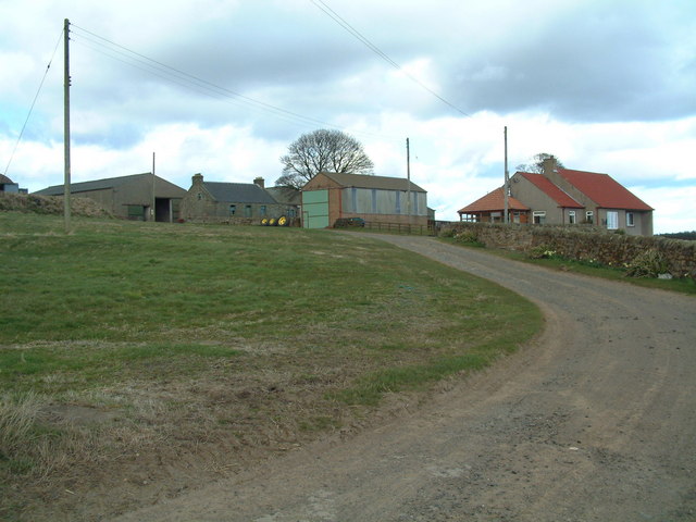
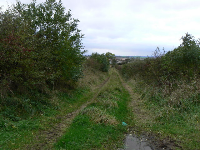
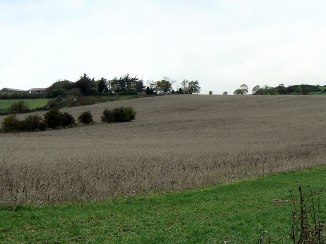
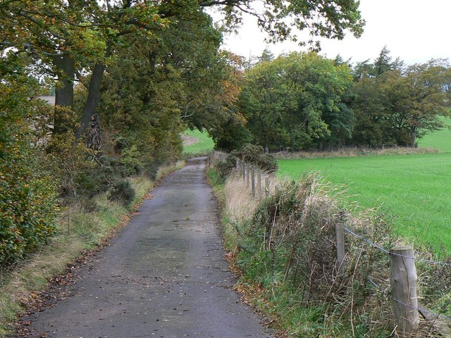
Chapel Brae Images

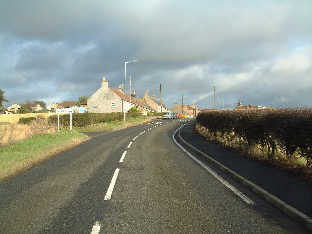
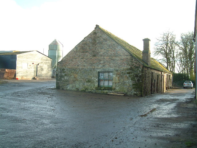
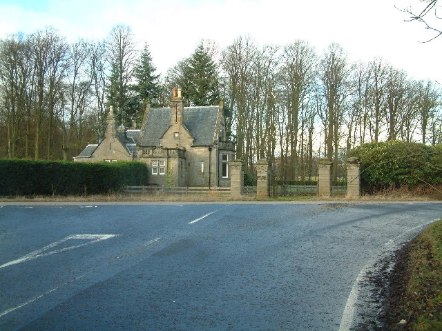
Images are sourced within 2km of 56.23133/-3.0288448 or Grid Reference NO3604. Thanks to Geograph Open Source API. All images are credited.

Bonnybank Road into village from Kennoway
Bonnybank
Road into village from Kennoway
Letham Farm Old building among new farm buildings
Letham Farm
Old building among new farm buildings
Gatehouse of Montrave Estate
Clatto Hill Open land in the 1940s, now home to mature forestry.
Clatto Hill
Open land in the 1940s, now home to mature forestry.
Clatto Hill Gap between Devon Wood and Clatto Hill plantations looking west. The dog walker was very interested in my registration plate. With good reason, loads of fly tipping going on here.
Clatto Hill
Gap between Devon Wood and Clatto Hill plantations looking west. The dog walker was very interested in my registration plate. With good reason, loads of fly tipping going on here.
Clatto Hill The summit. The trig point was marked with claw marks. Given the talk of leopards in the woods of Fife, I was relieved to see that they were the work of badgers.
Clatto Hill
The summit. The trig point was marked with claw marks. Given the talk of leopards in the woods of Fife, I was relieved to see that they were the work of badgers.
Farmland above Devon A lot of land here is wooded, but this is still farmland. Another wind prospecting mast suggests changes possible. The cairn is made of rocks cleared from the land. Looking north.
Farmland above Devon
A lot of land here is wooded, but this is still farmland. Another wind prospecting mast suggests changes possible. The cairn is made of rocks cleared from the land. Looking north.
Devon Wood Thick spruce c/o The Forestry Commission.
Devon Wood
Thick spruce c/o The Forestry Commission.
Devon Wood. Much of the square is forestry. Here for a change from a road in deep Sitka is a view of the forest edge. Looking SE. The foreground is wet farmland.
Devon Wood.
Much of the square is forestry. Here for a change from a road in deep Sitka is a view of the forest edge. Looking SE. The foreground is wet farmland.
Letham Feus Holiday Camp A caravan site north-east of Bennybank
Letham Feus Holiday Camp
A caravan site north-east of Bennybank
Coming into Baintown Entrance to a hamlet on a back road north of Kennoway
Coming into Baintown
Entrance to a hamlet on a back road north of Kennoway
Colliston Hill Kilmux Wood crowns Colliston Hill
Colliston Hill
Kilmux Wood crowns Colliston Hill
Kilmux Farm Viewed from the north-east
Kilmux Farm
Viewed from the north-east
Clatto Barns A working farm, with an active motorcycle off-road track within its grounds.
Clatto Barns
A working farm, with an active motorcycle off-road track within its grounds.
Drummaird track Track linking Drummaird farm and Bonnybank village.
Drummaird track
Track linking Drummaird farm and Bonnybank village.
Balgriebank Aptly-named White Cottage (centre) and Balgriebank Farm to the left on the horizon.
Balgriebank
Aptly-named White Cottage (centre) and Balgriebank Farm to the left on the horizon.
Towards St Brendan's Well Road leading from Toddy Bridge to Whalleyden and St Brendan's Well
Towards St Brendan's Well
Road leading from Toddy Bridge to Whalleyden and St Brendan's Well
Track to Meggie Den Track leading from Drummaird Farm to Meggie Den. In Fife, small wooded valleys are frequently known as Dens. In the background, Levenmouth area and the Firth of Forth.
Track to Meggie Den
Track leading from Drummaird Farm to Meggie Den. In Fife, small wooded valleys are frequently known as Dens. In the background, Levenmouth area and the Firth of Forth.
Show me another place!

Chapel Brae is located at Grid Ref: NO3604 (Lat: 56.23133, Lng: -3.0288448)

Unitary Authority: Fife

Police Authority: Fife

What 3 Words

///since.spellings.foil. Near Kennoway, Fife

Nearby Locations

Chapel Brae

Related Wikis

Bonnybank

Bonnybank is a small village in the Levenmouth area of Fife, approximately 2 miles north of Leven and situated on the main road (the A916) between Kennoway...

Baintown

Baintown is a hamlet located in Fife, a council area of Scotland, UK.

East Fife G.W.F.C.

East Fife Girls and Women's Football Club are a Scottish women's football team based in the Fife coastal town of Leven. The team, established in 2000,...

Kennoway

Kennoway is a village in Fife, Scotland, near the larger population centres in the area of Leven and Methil. It had an estimated population of 4,570 in...

Nearby Amenities

Located within 500m of 56.23133,-3.0288448
Beam engine house
Heritage: 2
Heritage Operator: hs
Heritage Ref: SM7769
Heritage Website: http://portal.historicenvironment.scot/designation/SM7769
Historic: ruins
Lat/Long: 56.2269184/-3.0281708
Ele: 195
Natural: peak
Lat/Long: 56.2344182/-3.0309481
Whallyden
Place: isolated_dwelling
Lat/Long: 56.2301903/-3.0348008
Location: pole
Power: transformer
Lat/Long: 56.2329669/-3.0221981
Power: pole
Lat/Long: 56.2286329/-3.0352944
Power: pole
Lat/Long: 56.229219/-3.0352244
Power: pole
Lat/Long: 56.2297674/-3.03508
Power: pole
Lat/Long: 56.2270351/-3.0303092
The data included in this document is from www.openstreetmap.org. The data is made available under ODbL.

Have you been to Chapel Brae?

Leave your review of Chapel Brae below (or comments, questions and feedback).