Coronation Wood
Wood, Forest in Midlothian
Scotland
Coronation Wood
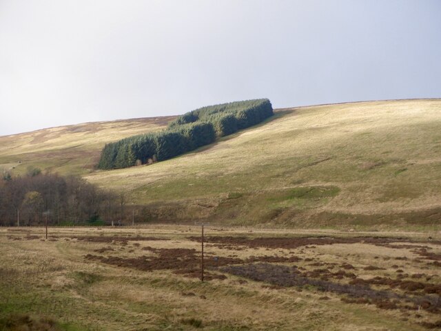
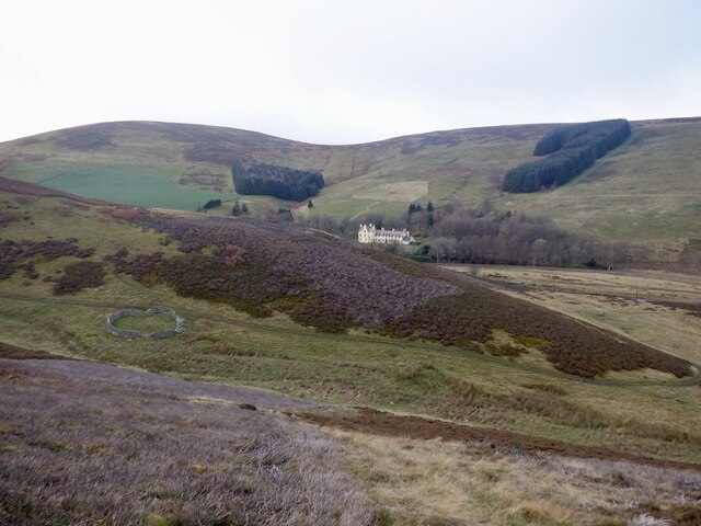
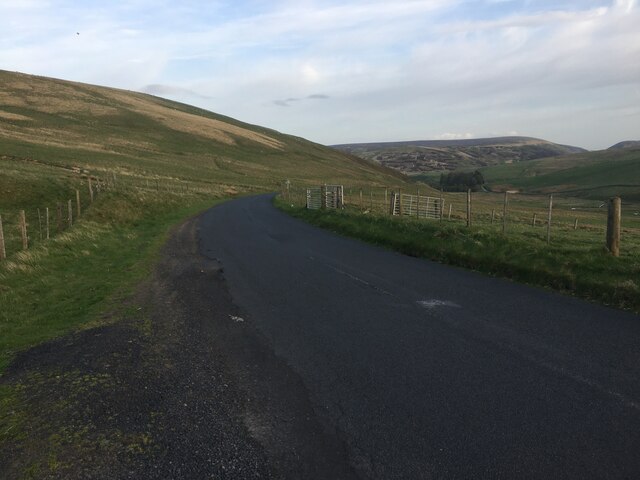
Coronation Wood is a picturesque forest located in Midlothian, Scotland. Covering an area of approximately 100 acres, this enchanting wood is nestled in the heart of the Scottish countryside, just a short distance from the village of Roslin.
The wood derives its name from the coronation of King George VI in 1937, during which a commemorative tree planting ceremony took place. Since then, Coronation Wood has become a popular destination for nature enthusiasts and outdoor adventurers.
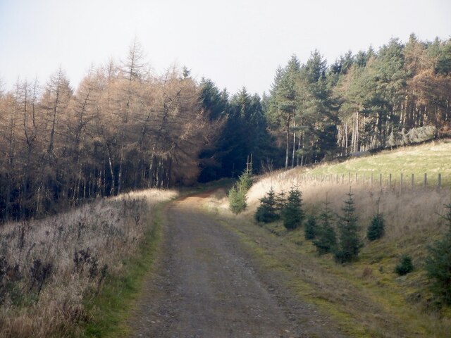
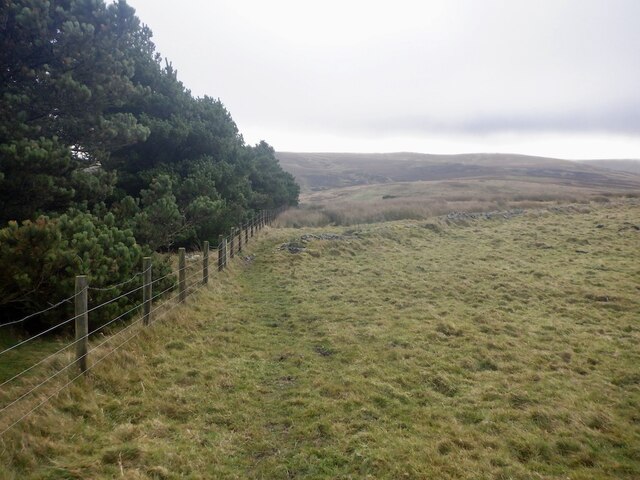
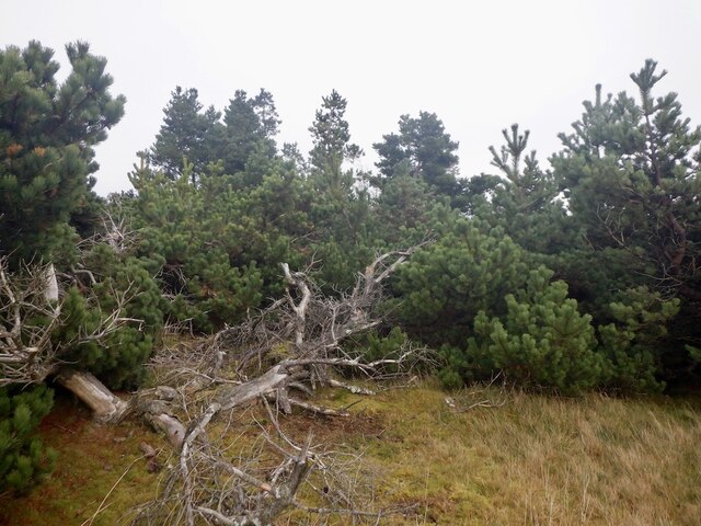
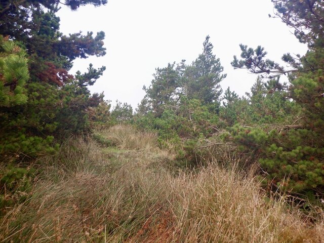
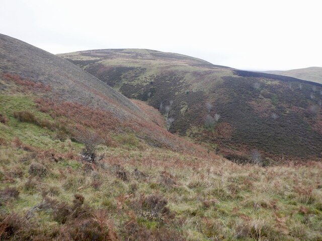
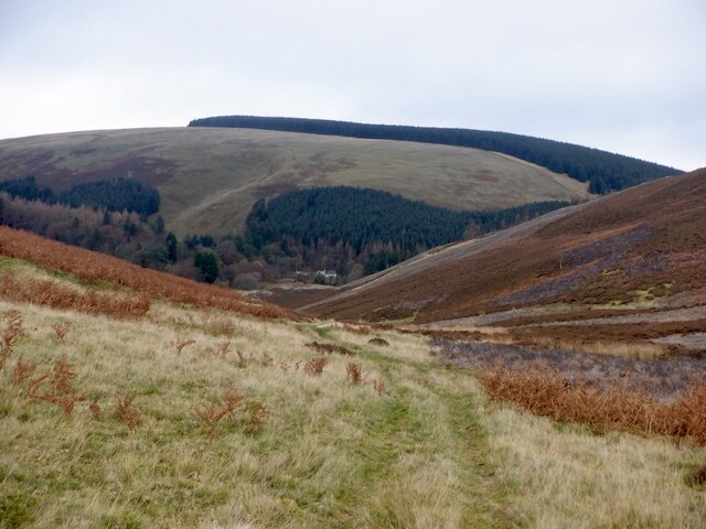
The wood boasts a diverse range of flora and fauna, making it a haven for wildlife. Visitors can expect to encounter a variety of native tree species, such as oak, birch, and rowan, which create a vibrant and verdant landscape throughout the year. The forest floor is blanketed with mosses, ferns, and wildflowers, adding to the area's natural charm.
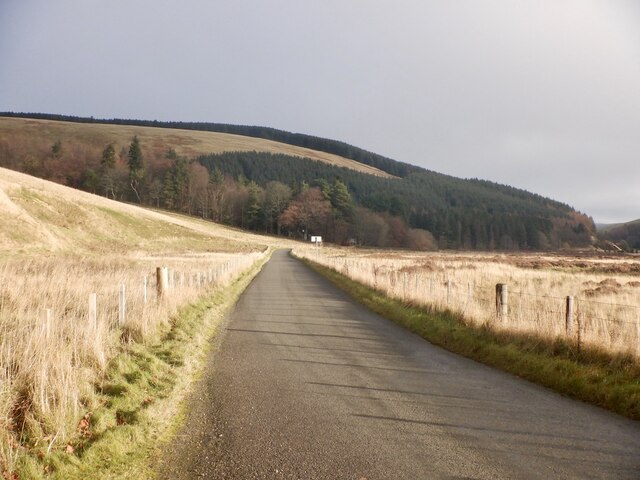
Several well-marked trails wind their way through the wood, providing an opportunity for visitors to explore and appreciate the tranquil surroundings. Along the way, they may stumble upon hidden glades, babbling brooks, and even the occasional wildlife sighting, including deer, squirrels, and a wide array of bird species.
Coronation Wood also offers a picnic area, allowing visitors to pause and enjoy a leisurely lunch amidst the serenity of nature. Additionally, the wood is conveniently located near other attractions, such as the famous Rosslyn Chapel, providing an opportunity for a day of exploration and discovery.
Overall, Coronation Wood is a captivating destination for those seeking solace in nature, offering a peaceful retreat from the hustle and bustle of daily life.
If you have any feedback on the listing, please let us know in the comments section below.
Coronation Wood Images
Images are sourced within 2km of 55.759698/-3.0166119 or Grid Reference NT3652. Thanks to Geograph Open Source API. All images are credited.

Coronation Wood is located at Grid Ref: NT3652 (Lat: 55.759698, Lng: -3.0166119)
Unitary Authority: The Scottish Borders
Police Authority: The Lothians and Scottish Borders
What 3 Words
///calculate.herds.funky. Near Gorebridge, Midlothian
Nearby Locations
Related Wikis

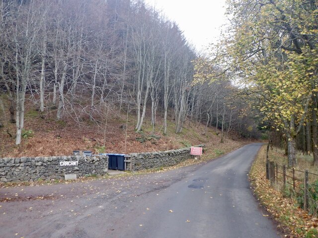
Carcant
Carcant is a small settlement and a wind farm, near Heriot in the Scottish Borders area of Scotland. A famous inhabitant of Carcant was Eric Liddell....

Garvald, Scottish Borders
Garvald (Scots: Garvit) is a hamlet on the B7007, near Dewar, by the Dewar Burn, in the Moorfoot Hills, in the Scottish Borders area of Scotland, in the...

Heriot, Scottish Borders
Heriot is a small village in the Moorfoot Hills southeast of Edinburgh, Scotland, within Eildon (part of the Scottish Borders council area, though historically...

Peatrig Hill
Peatrig Hill is a minor hill in Scotland, located about 15 km south-southeast of Edinburgh. One of the Moorfoot Hills, it is located in the parish of Heriot...
Nearby Amenities
Located within 500m of 55.759698,-3.0166119Have you been to Coronation Wood?
Leave your review of Coronation Wood below (or comments, questions and feedback).