Cavendish

Settlement in Suffolk West Suffolk

England

Cavendish

Old Shed at Bower Hall One of several old timber buildings here.
Old Shed at Bower Hall Credit: Des Blenkinsopp

Cavendish is a charming village located in the county of Suffolk, England. Situated in the Babergh district, it is nestled in the picturesque Stour Valley, known for its idyllic countryside and scenic beauty. With a population of around 1,000 residents, Cavendish exudes a tranquil and welcoming atmosphere.

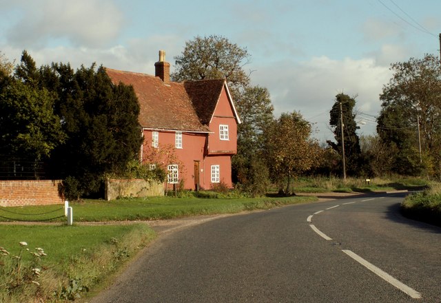
This historic village has a rich heritage dating back to medieval times. Its quaint streets are lined with timber-framed houses, giving it a quintessentially English feel. One notable landmark is the Church of St. Mary the Virgin, a Grade I listed building renowned for its stunning architecture and medieval wall paintings.

Nature lovers will be enthralled by the natural beauty surrounding Cavendish. The village is surrounded by rolling hills, lush meadows, and meandering rivers, making it an ideal destination for hiking, cycling, and leisurely walks. The nearby Cavendish Golf Club offers enthusiasts the chance to enjoy a round of golf amidst the stunning Suffolk landscape.

Cavendish also boasts a range of amenities for residents and visitors alike. It is home to several charming pubs, where locals and tourists can enjoy traditional British fare and ales. The village also has a well-stocked village store, providing essential groceries and local products.

Overall, Cavendish is a delightful destination for those seeking a peaceful retreat in the heart of the Suffolk countryside. Its historic charm, scenic beauty, and welcoming community make it a truly special place to visit or call home.

If you have any feedback on the listing, please let us know in the comments section below.
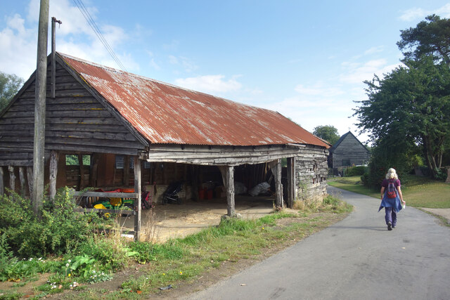
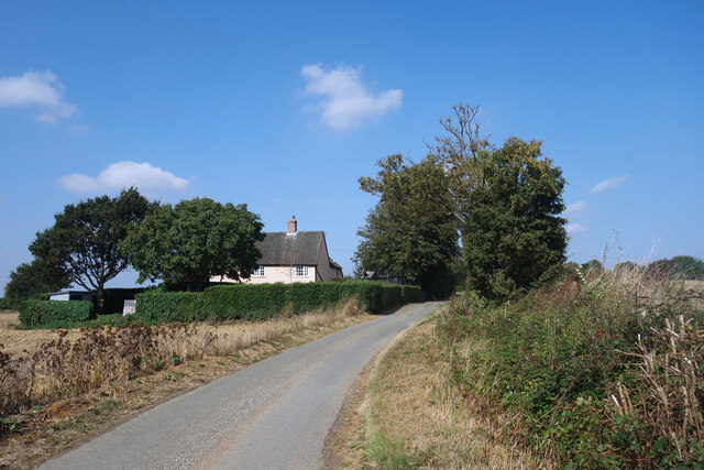
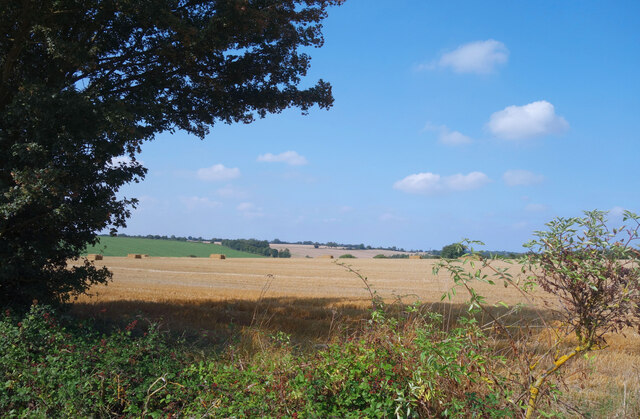
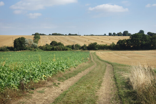
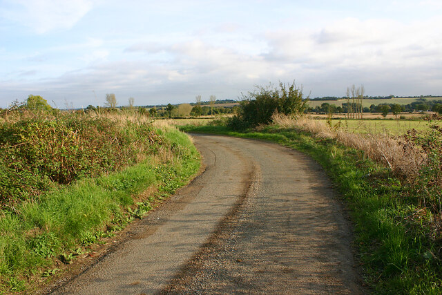
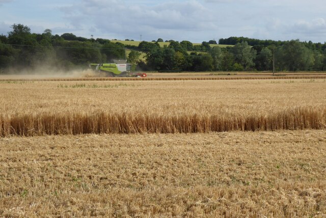
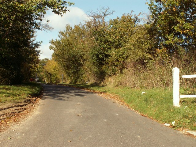
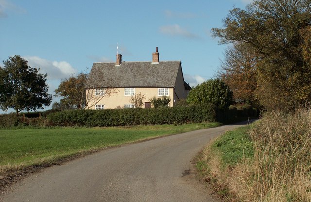
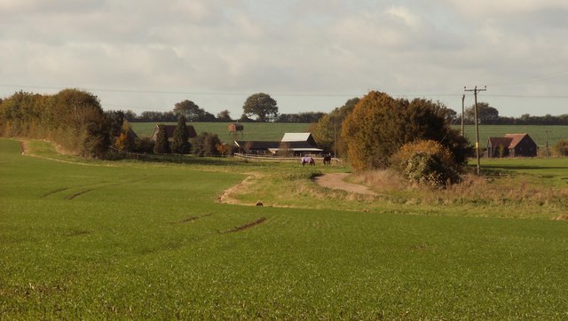
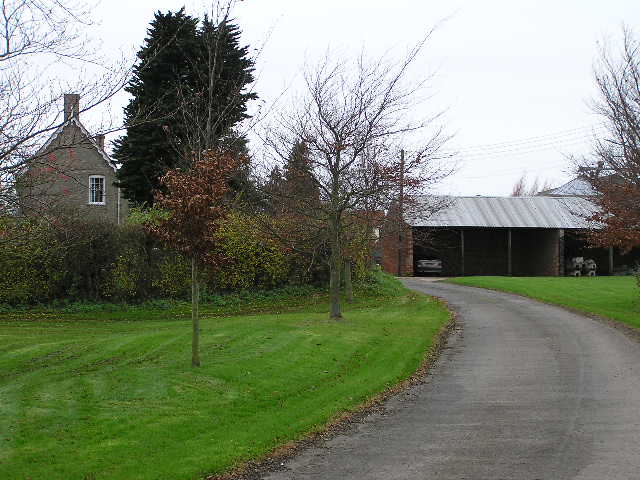
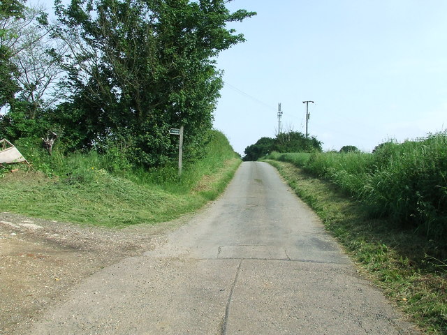
Cavendish Images

Images are sourced within 2km of 52.087325/0.63466952 or Grid Reference TL8046. Thanks to Geograph Open Source API. All images are credited.

Old Shed at Bower Hall One of several old timber buildings here.
Old Shed at Bower Hall
One of several old timber buildings here.
House by the Stour Valley Path Mumford Cottages according to the map. A short roadside length of the Stour Valley Path goes past before heading off left beyond the trees.
House by the Stour Valley Path
Mumford Cottages according to the map. A short roadside length of the Stour Valley Path goes past before heading off left beyond the trees.
North of the Stour Valley Path Arable farmland all the way.
North of the Stour Valley Path
Arable farmland all the way.
Farmland at Houghton Hall The Stour Valley Path amidst the stubble and sugar beet.
Farmland at Houghton Hall
The Stour Valley Path amidst the stubble and sugar beet.
Bend in Colt's Hall Road, Cavendish
Harvesting a field of wheat This is the first time I have ever seen wheat harvested before the end of June.  In fact not only is it the earliest I have seen wheat harvested, it is the first time I have ever heard a cuckoo after the first harvest.  The following morning I heard a cuckoo call near Wordwell, north of Bury St Edmunds.
Harvesting a field of wheat
This is the first time I have ever seen wheat harvested before the end of June. In fact not only is it the earliest I have seen wheat harvested, it is the first time I have ever heard a cuckoo after the first harvest. The following morning I heard a cuckoo call near Wordwell, north of Bury St Edmunds.
Road to Houghton Hall, just west of Cavendish
Old house on the A.1092 This house is called Yew Tree House.
Old house on the A.1092
This house is called Yew Tree House.
Cottage on the road to Colt's Hall Just behind the cottage lies the Stour Valley Path.
Cottage on the road to Colt's Hall
Just behind the cottage lies the Stour Valley Path.
Robb's Farm as seen from Peacocks Road
Colts Hall
Colts Hall
Houghton Hall The new buildings are part of the recently developed Atlantic Health and Spa <span class="nowrap"><a title="http://www.atlantichealthandspa.co.uk/" rel="nofollow ugc noopener" href="http://www.atlantichealthandspa.co.uk/">Link</a><img style="margin-left:2px;" alt="External link" title="External link - shift click to open in new window" src="https://s1.geograph.org.uk/img/external.png" width="10" height="10"/></span>
Houghton Hall
The new buildings are part of the recently developed Atlantic Health and Spa LinkExternal link
Footbridge and path Footbridge and public footpath looking east near to Cavendish Suffolk.
Footbridge and path
Footbridge and public footpath looking east near to Cavendish Suffolk.
Farm buildings Farm buildings at Colt's Hall near to Cavendish Suffolk.
Farm buildings
Farm buildings at Colt's Hall near to Cavendish Suffolk.
Towards Colt's Hall Road leading to Colt's Hall with the Stour Valley footpath on the left near to Cavendish Suffolk.
Towards Colt's Hall
Road leading to Colt's Hall with the Stour Valley footpath on the left near to Cavendish Suffolk.
Stour Valley Sign Footpath sign for the Stour Valley footpath near to Cavendish Suffolk.
Stour Valley Sign
Footpath sign for the Stour Valley footpath near to Cavendish Suffolk.
Footpath and sunshine Footpath sign with winter sunshine near to Cavendish, Suffolk.
Footpath and sunshine
Footpath sign with winter sunshine near to Cavendish, Suffolk.
Walking to the sun Walking into the winter sun near to Pentlow, Essex.
Walking to the sun
Walking into the winter sun near to Pentlow, Essex.
Show me another place!

Cavendish is located at Grid Ref: TL8046 (Lat: 52.087325, Lng: 0.63466952)

Administrative County: Suffolk

District: West Suffolk

Police Authority: Suffolk

What 3 Words

///delighted.voucher.jotting. Near Glemsford, Suffolk

Nearby Locations

Cavendish

Related Wikis

St Mary the Virgin's Church, Cavendish

St Mary the Virgin's Church, Cavendish is a Grade I listed parish church in the Church of England in Cavendish, Suffolk. == History == A Saxon church at...

Cavendish, Suffolk

Cavendish is a village and civil parish in the Stour Valley in Suffolk, England. == Toponymy == Toponymists agree that Cavendish is called so because a...

Cavendish railway station

Cavendish railway station was a station that served the village of Cavendish in Suffolk, England. It opened in 1865 on the Stour Valley Railway between...

Colt's Hall, Cavendish

Colt's Hall is an old manor house in Cavendish, Suffolk, England. It is a Grade II listed building. == Queen Elizabeth's visit == In this house George...

Nearby Amenities

Located within 500m of 52.087325,0.63466952
Stop
Stop: minor
Lat/Long: 52.0870763/0.6411492
Cavendish
Place: village
Wikidata: Q1821172
Lat/Long: 52.0873118/0.6336715
Bus Stop
The Bull
Naptan AtcoCode: 390050191
Naptan Bearing: E
Naptan BusStopType: CUS
Naptan CommonName: The Bull
Naptan Indicator: o/s
Naptan Landmark: The Bull
Naptan NaptanCode: sufgdpat
Naptan Street: A1092
Naptan Verified: no
Source: naptan_import
Lat/Long: 52.0874084/0.6359002
Bus Stop
The Bull
Naptan AtcoCode: 390050192
Naptan Bearing: W
Naptan CommonName: The Bull
Naptan Indicator: opp
Naptan Landmark: The Bull
Naptan NaptanCode: sufgdpaw
Naptan Street: A1092
Naptan Verified: no
Source: naptan_import
Lat/Long: 52.0872994/0.6359522
Bus Stop
Pentlow Drive
Naptan AtcoCode: 390051127
Naptan Bearing: W
Naptan BusStopType: CUS
Naptan CommonName: Pentlow Drive
Naptan Indicator: adj
Naptan Landmark: Pentlow Drive
Naptan NaptanCode: sufjpgta
Naptan Street: Lower Street
Naptan Verified: no
Source: naptan_import
Lat/Long: 52.0870371/0.641472
Bus Stop
Pentlow Drive
Naptan AtcoCode: 390051128
Naptan Bearing: E
Naptan BusStopType: CUS
Naptan CommonName: Pentlow Drive
Naptan Indicator: opp
Naptan Landmark: Pentlow Drive
Naptan NaptanCode: sufjpgtd
Naptan Street: Lower Street
Naptan Verified: no
Source: naptan_import
Lat/Long: 52.0871102/0.6414408
Source: OS OpenData StreetView
Was Amenity: post_office
Lat/Long: 52.0874924/0.636821
Give Way
Lat/Long: 52.0870768/0.6419498
Pub
The George Inn
Addr Postcode: CO10 8BA
Addr Street: The Green
Addr Village: Cavendish
Fhrs Id: 1674527
Source Addr: FHRS Open Data
Lat/Long: 52.0873823/0.6341652
Barrier: stile
Lat/Long: 52.0872361/0.6314043
Historic: memorial
Lat/Long: 52.0870944/0.6333367
Pub
Bull
Addr Postcode: CO10 8AX
Addr Street: High Street
Description: Currently (April 2021) closed, though some hope of reopening.
Lat/Long: 52.0874471/0.6356201
Public Bookcase
Booth: K6
Disused Amenity: telephone
Listed Status: Grade II
Man Made: telephone_box
Public Bookcase Type: phone_box
Lat/Long: 52.087122/0.6339897
Man Made: village_sign
Lat/Long: 52.0869242/0.6335692
Bench
Lat/Long: 52.0872596/0.6347165
The data included in this document is from www.openstreetmap.org. The data is made available under ODbL.

Have you been to Cavendish?

Leave your review of Cavendish below (or comments, questions and feedback).