Black Wood
Wood, Forest in Midlothian
Scotland
Black Wood
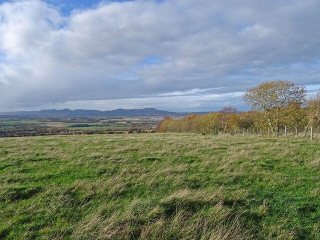
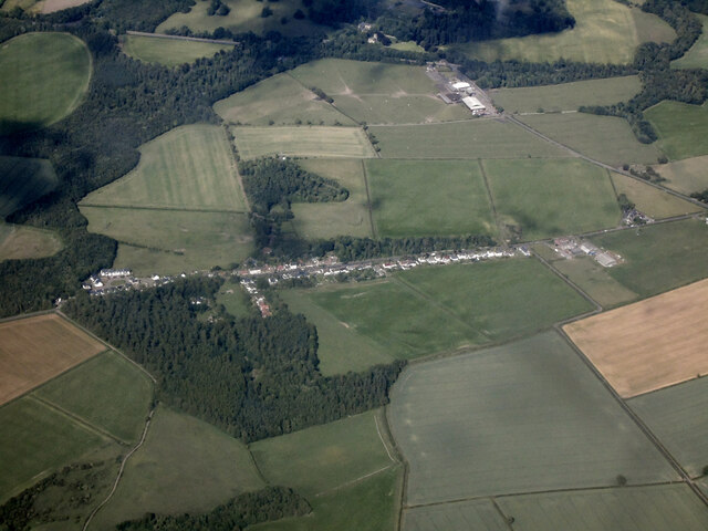
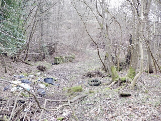
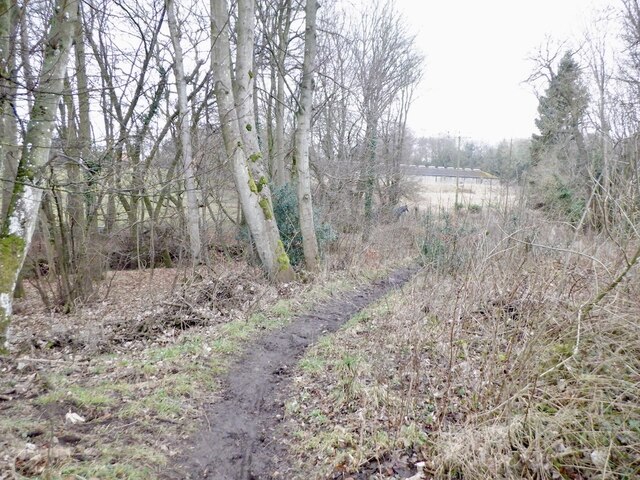
Black Wood is a picturesque forest located in Midlothian, Scotland. Covering an expansive area of approximately 200 hectares, it is a popular destination for nature enthusiasts and outdoor adventurers alike. The forest is situated within the Pentland Hills Regional Park, offering visitors a tranquil and scenic environment to explore.
As its name suggests, Black Wood is predominantly composed of dense, dark-colored trees, providing a mysterious and enchanting atmosphere. The forest is primarily made up of native Scottish species such as oak, birch, and rowan trees, which create a diverse and vibrant ecosystem. This rich biodiversity attracts a wide array of wildlife, including red squirrels, deer, and a variety of bird species.
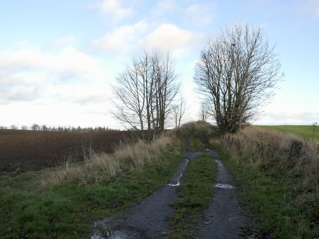
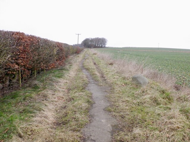
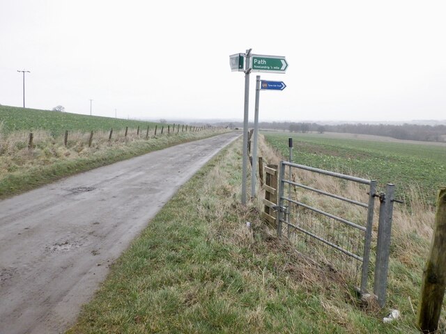
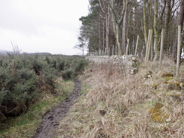
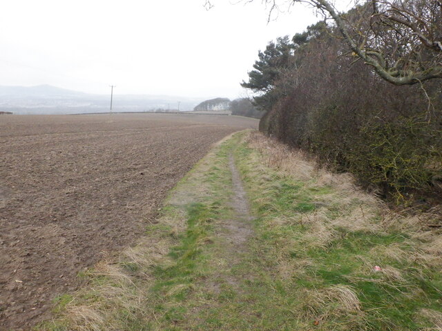
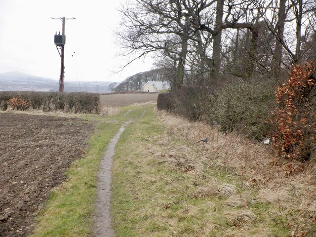
The forest is crisscrossed by a network of well-maintained trails, making it an ideal location for walking, hiking, and cycling. These paths cater to different levels of difficulty, allowing visitors of all ages and fitness levels to enjoy the beauty of the woodland. Along the way, there are several viewpoints that offer breathtaking vistas of the surrounding countryside, providing ample opportunities for photography enthusiasts.
Black Wood also serves as a haven for those interested in flora and fauna. The forest is home to a plethora of native plants, lichens, and fungi, making it a prime location for botany enthusiasts to explore and study. Additionally, guided nature walks and educational programs are often organized to provide visitors with informative insights into the forest's ecosystem and conservation efforts.
Overall, Black Wood in Midlothian is a captivating destination that offers a harmonious blend of natural beauty, recreational activities, and educational experiences. Its serene ambiance and diverse wildlife make it a must-visit location for anyone seeking a peaceful retreat in the heart of Scotland.
If you have any feedback on the listing, please let us know in the comments section below.
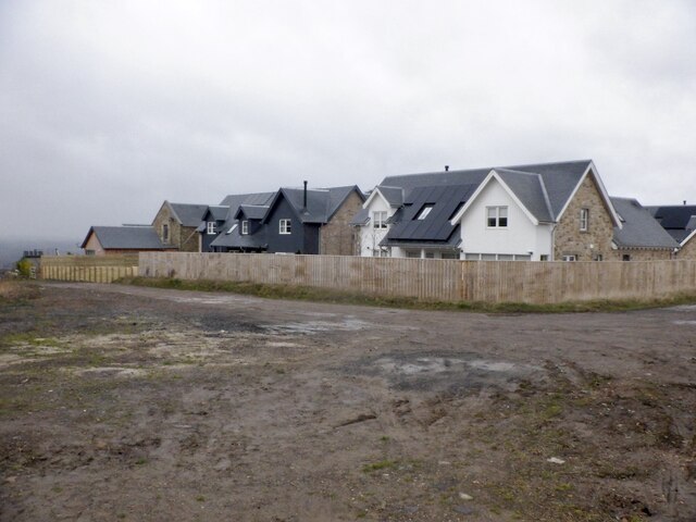
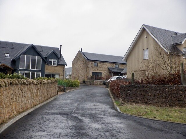
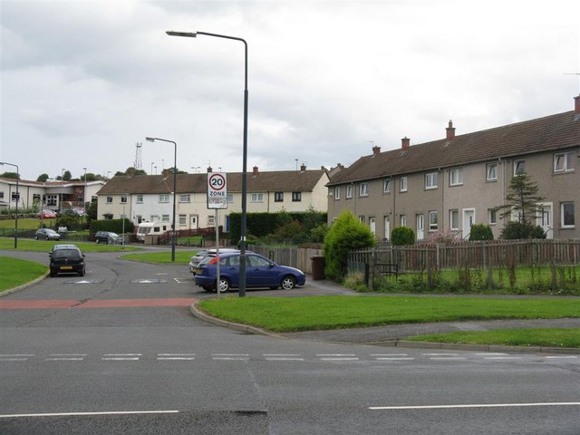
Black Wood Images
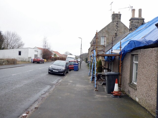
Images are sourced within 2km of 55.867334/-3.0254628 or Grid Reference NT3564. Thanks to Geograph Open Source API. All images are credited.
Black Wood is located at Grid Ref: NT3564 (Lat: 55.867334, Lng: -3.0254628)
Unitary Authority: Midlothian
Police Authority: The Lothians and Scottish Borders
What 3 Words
///vibe.exonerate.attaching. Near Mayfield, Midlothian
Nearby Locations
Related Wikis

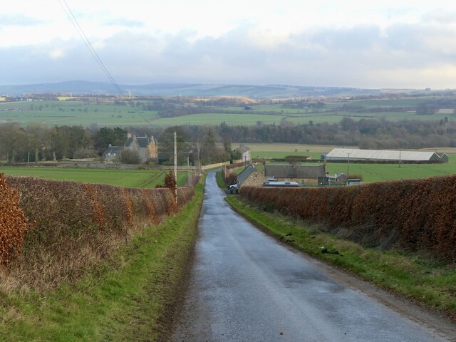
D'Arcy, Midlothian
D'Arcy is a hamlet in Midlothian, Scotland, located just south of Dalkeith near Edinburgh. It is ¼ mile east of Mayfield and lies within the Civil Parish...
Mayfield, Midlothian
Mayfield is a community in Midlothian, Scotland, located just south of Dalkeith near Edinburgh between the A68 and the A7 south. It had an estimated population...

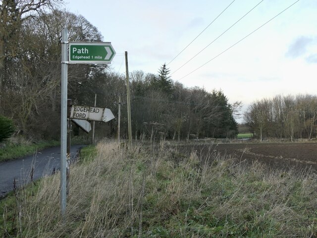
Edgehead
Edgehead (also known as Chesterhill) is a village in Midlothian, Scotland. == Location == Edgehead is situated east of Dewartown and Mayfield, north-west...

Easthouses Lily Miners Welfare F.C.
Easthouses Lily Miners Welfare Football Club are a Scottish football club, based in the Midlothian town of Easthouses. The team currently plays in the...
Nearby Amenities
Located within 500m of 55.867334,-3.0254628Have you been to Black Wood?
Leave your review of Black Wood below (or comments, questions and feedback).