Long Plantation

Wood, Forest in Midlothian

Scotland

Long Plantation

Picnic table, Gore Glen A car park off the A7. The path crosses the railway before plunging towards Trotter's Bridge. The woods on the right are on a bing.
Picnic table, Gore Glen Credit: Richard Webb

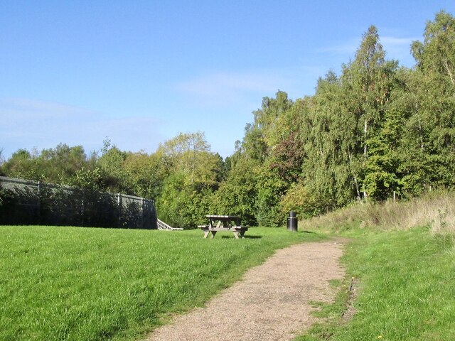
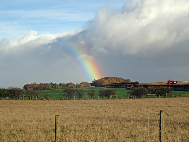
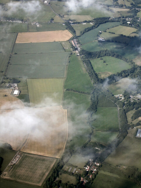
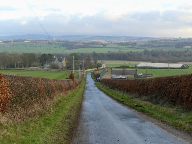
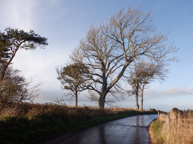
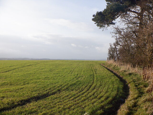
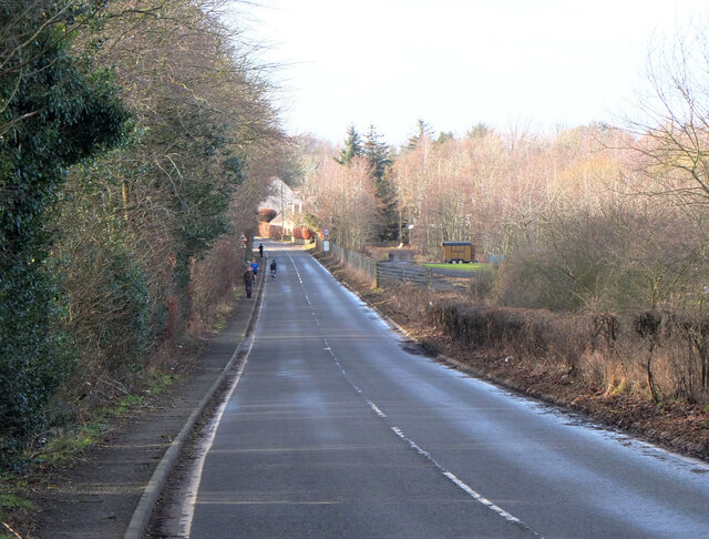
Long Plantation is a vast woodland located in Midlothian, a historic county in Scotland. Covering an area of approximately 500 acres, it is a captivating natural haven that offers a tranquil escape from the bustling city life of nearby Edinburgh. Situated just a few miles southeast of the Midlothian village of Penicuik, Long Plantation is easily accessible for nature enthusiasts and hikers.

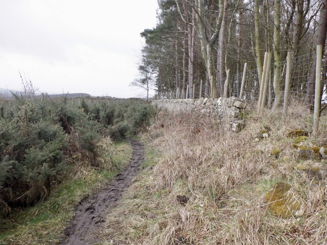
The plantation is characterized by its dense forest of ancient trees, predominantly consisting of towering oaks and beeches. These majestic trees provide a picturesque backdrop, particularly during the autumn season when their leaves transform into a stunning array of vibrant reds, oranges, and yellows.

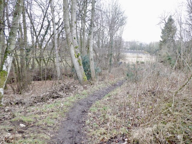
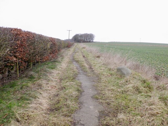
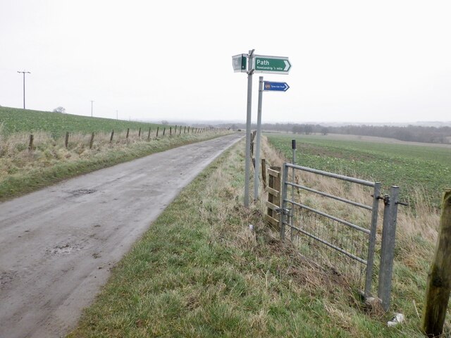
The woodland is crisscrossed by a network of well-maintained paths, making it an ideal location for leisurely walks and invigorating hikes. Visitors can explore the plantation's diverse flora and fauna, which includes a variety of wildflowers, ferns, and mosses, as well as numerous bird species such as woodpeckers and owls.

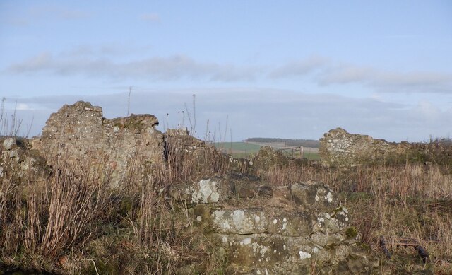
Long Plantation also boasts a rich history, dating back centuries. It was once part of the extensive lands owned by the nearby Crichton Castle, a grand medieval fortress. Today, the plantation provides a glimpse into Scotland's past, with remnants of ancient stone walls and other archaeological features scattered throughout the area.

Whether it's a peaceful stroll through the woods, a family picnic amidst nature, or a chance to immerse oneself in the region's history, Long Plantation offers a captivating experience for all who visit. Its stunning beauty and natural charm make it a beloved destination for locals and tourists alike.

If you have any feedback on the listing, please let us know in the comments section below.

Long Plantation Images

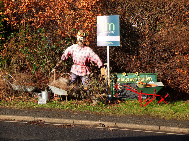
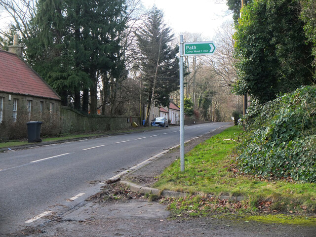
Images are sourced within 2km of 55.85143/-3.0351069 or Grid Reference NT3562. Thanks to Geograph Open Source API. All images are credited.

Picnic table, Gore Glen A car park off the A7. The path crosses the railway before plunging towards Trotter's Bridge. The woods on the right are on a bing.
Picnic table, Gore Glen
A car park off the A7. The path crosses the railway before plunging towards Trotter's Bridge. The woods on the right are on a bing.
Above Gorebridge From the high point of a walk called the Gorebridge Circular there is a fine view across to the Pentland Hills. Loanhead, Bonnyrigg and Lasswade can all be seen just above the trees in the foreground.
Info on the 8 mile walk here:-
<span class="nowrap"><a title="https://gorebridge.org.uk/wp-content/uploads/2021/01/Walk-8-Gorebridge-Circular-Page.pdf" rel="nofollow ugc noopener" href="https://gorebridge.org.uk/wp-content/uploads/2021/01/Walk-8-Gorebridge-Circular-Page.pdf">Link</a><img style="margin-left:2px;" alt="External link" title="External link - shift click to open in new window" src="https://s1.geograph.org.uk/img/external.png" width="10" height="10"/></span>
Above Gorebridge
From the high point of a walk called the Gorebridge Circular there is a fine view across to the Pentland Hills. Loanhead, Bonnyrigg and Lasswade can all be seen just above the trees in the foreground. Info on the 8 mile walk here:- LinkExternal link
Gorebridge Outskirts As seen from just above Barleyknowe Road in Gorebridge there is a fine view across to the Pentlands Hills across the roofs of the nearest houses.
Gorebridge Outskirts
As seen from just above Barleyknowe Road in Gorebridge there is a fine view across to the Pentlands Hills across the roofs of the nearest houses.
Passing Shower This double rainbow appeared as I was trying to shelter from the short sharp rain shower.
Passing Shower
This double rainbow appeared as I was trying to shelter from the short sharp rain shower.
Part Rainbow over Newlandrig After a sharp shower the rain has moved on from Gorebridge towards Newlandrig and this part rainbow is striking across the fields.
Part Rainbow over Newlandrig
After a sharp shower the rain has moved on from Gorebridge towards Newlandrig and this part rainbow is striking across the fields.
Newlandrig from the air Newlandrig is at the bottom of the photo, Vogrie Country Park is on the right.
Newlandrig from the air
Newlandrig is at the bottom of the photo, Vogrie Country Park is on the right.
Road, Southside
Road, Southside
Mount Cottage A ruin above Gorebridge
Mount Cottage
A ruin above Gorebridge
Road by Mount Cottage
Field edge near Gorebridge Winter arable.
Field edge near Gorebridge
Winter arable.
Path from Newlandrig to Chesters Wood
Path from Newlandrig to Chesters Wood Tarred, a legacy from open cast mining here.
Path from Newlandrig to Chesters Wood
Tarred, a legacy from open cast mining here.
Road - path junction, Blinkbonny Reclaimed open cast site.
Road - path junction, Blinkbonny
Reclaimed open cast site.
Path, Camp Wood From Newlandrig.
Path, Camp Wood
From Newlandrig.
B6372 to Newlandrig The road here has a pavement, unlike the stretch between Vogrie Grange and the country park entrance. There is also a path through the woodland on the left, but it is muddy and fringed with thick brambles so cannot be recommended for comfortable walking.
B6372 to Newlandrig
The road here has a pavement, unlike the stretch between Vogrie Grange and the country park entrance. There is also a path through the woodland on the left, but it is muddy and fringed with thick brambles so cannot be recommended for comfortable walking.
Welcome to Newlandrig A small settlement of cottages on the B6372 between Gorebridge and Oxenfoord.
Welcome to Newlandrig
A small settlement of cottages on the B6372 between Gorebridge and Oxenfoord.
Finlay's Wee Garden, Newlandrig A scarecrow gardener by a roadside cottage. The sign on the left reads 'Grass grows wild in May for the Bees'.
Finlay's Wee Garden, Newlandrig
A scarecrow gardener by a roadside cottage. The sign on the left reads 'Grass grows wild in May for the Bees'.
Footpath from Newlandrig The sign reads 'Camp Wood 1 mile'.
Footpath from Newlandrig
The sign reads 'Camp Wood 1 mile'.
Show me another place!

Long Plantation is located at Grid Ref: NT3562 (Lat: 55.85143, Lng: -3.0351069)

Unitary Authority: Midlothian

Police Authority: The Lothians and Scottish Borders

What 3 Words

///icon.gravitate.pictured. Near Gorebridge, Midlothian

Nearby Locations

Long Plantation

Related Wikis

Gorebridge

Gorebridge is a former mining village in Midlothian, Scotland. Gorebridge has an annual Gala Day which always takes place on the 3rd Saturday in June....

Newbyres Castle

Newbyres Castle was a 16th-century tower house, in Gorebridge, Midlothian, Scotland, west of the main street. The tower occupied a roughly triangular position...

Gorebridge railway station

Gorebridge is a railway station on the Borders Railway, which runs between Edinburgh Waverley and Tweedbank. The station, situated 11 miles 77 chains...

Birkenside, Midlothian

Birkenside is a village, adjacent to the A7 road, at the south of Gorebridge in Midlothian, Scotland. == See also == List of places in Midlothian List...

Nearby Amenities

Located within 500m of 55.85143,-3.0351069
Power: pole
Lat/Long: 55.8501327/-3.0281322
Power: pole
Lat/Long: 55.8503469/-3.0285751
Power: pole
Lat/Long: 55.8506476/-3.028872
Power: pole
Lat/Long: 55.8510666/-3.0295504
Power: pole
Lat/Long: 55.8522125/-3.0314
Power: pole
Lat/Long: 55.8527881/-3.032297
Power: pole
Lat/Long: 55.8498734/-3.0275943
Power: pole
Lat/Long: 55.8505444/-3.0277906
Power: pole
Lat/Long: 55.8500868/-3.0287759
Power: pole
Lat/Long: 55.8496802/-3.0294666
Power: pole
Lat/Long: 55.8490809/-3.0305448
Power: pole
Lat/Long: 55.8484711/-3.0316284
Power: pole
Lat/Long: 55.8480691/-3.0329829
Power: pole
Lat/Long: 55.8476294/-3.0343133
Power: pole
Lat/Long: 55.8471912/-3.0356839
The data included in this document is from www.openstreetmap.org. The data is made available under ODbL.

Have you been to Long Plantation?

Leave your review of Long Plantation below (or comments, questions and feedback).