Murleywell Strip
Wood, Forest in Angus
Scotland
Murleywell Strip
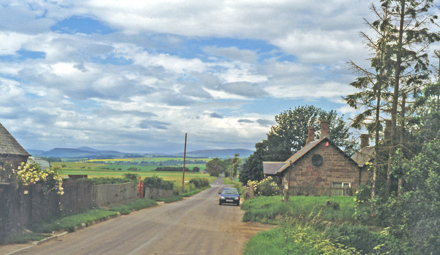
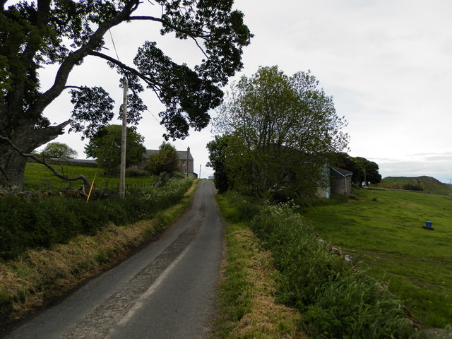
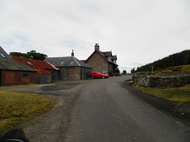
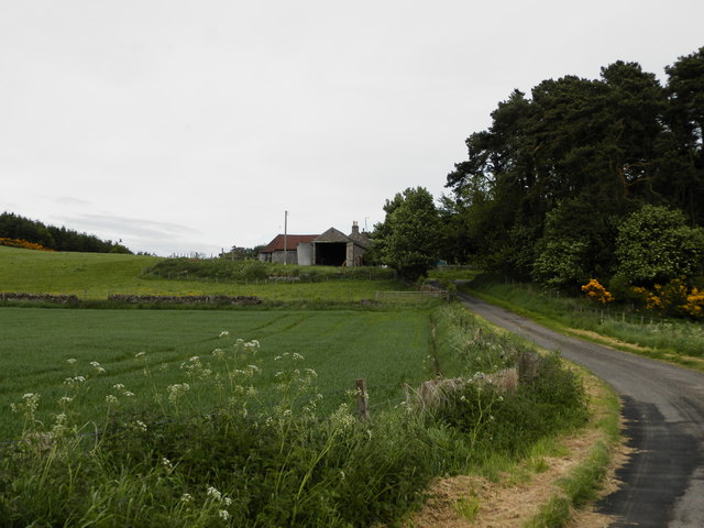
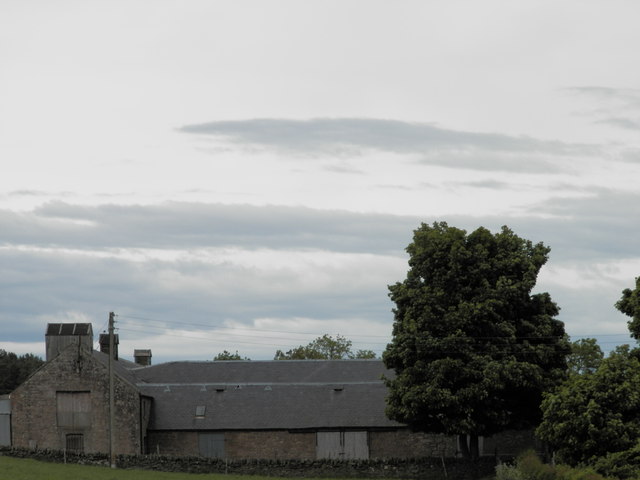
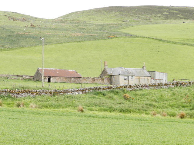
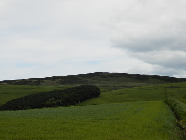
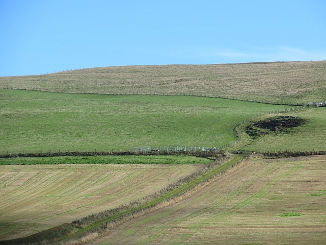
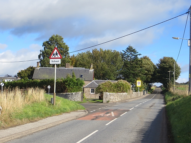
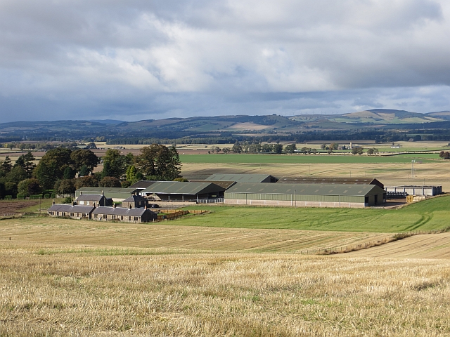
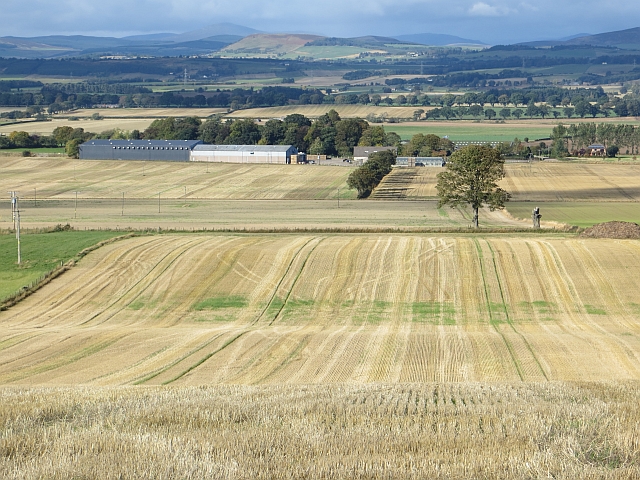
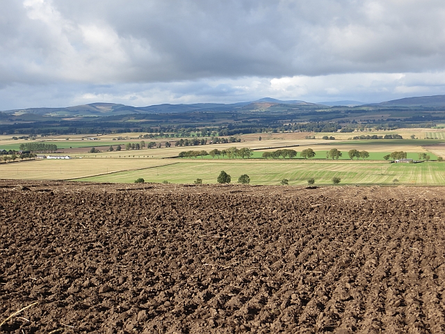
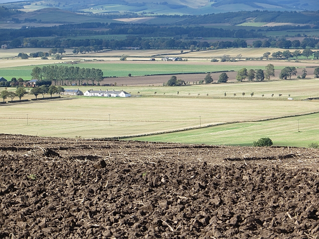
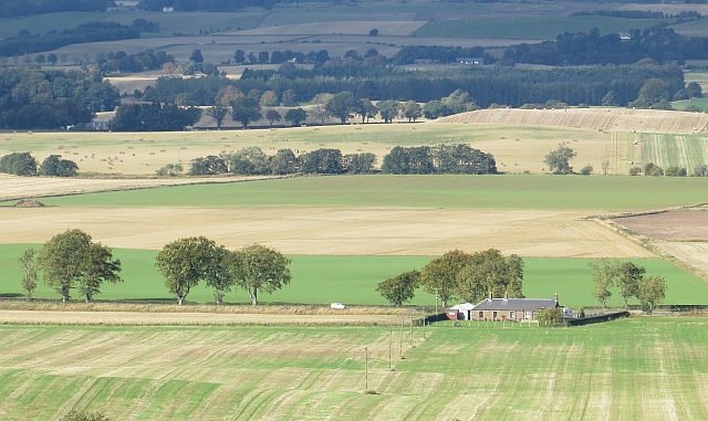
Murleywell Strip is a stunning woodland area located in Angus, Scotland. Covering an expansive area of land, the strip is nestled within the picturesque countryside, offering visitors a serene and tranquil experience. The wood, or forest, is home to an abundance of diverse flora and fauna, making it a haven for nature enthusiasts and wildlife lovers.
The strip boasts a rich variety of tree species, including oak, birch, and pine, creating a vibrant and lush environment. The dense foliage provides a protective canopy, casting dappled sunlight upon the forest floor. Walking along the well-maintained trails, visitors can immerse themselves in the natural beauty of the wood, breathing in the fresh air and enjoying the gentle rustling of leaves.
Wildlife thrives in Murleywell Strip, with a range of creatures calling it home. Birdwatchers can spot various species of birds, such as woodpeckers, thrushes, and owls, while lucky visitors may even catch a glimpse of elusive deer or red squirrels. The wood offers an ideal habitat for these animals, providing a safe and nurturing environment.
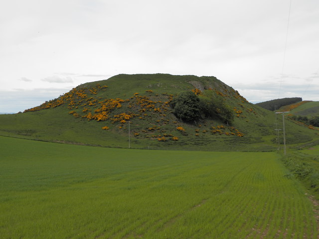
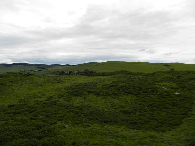
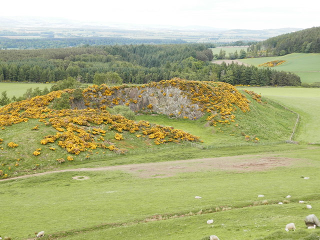
For those seeking outdoor activities, Murleywell Strip offers opportunities for hiking, picnicking, and photography. The trails are well-marked, allowing visitors to explore the wood at their own pace. The panoramic views from certain viewpoints are breathtaking, especially during the autumn season when the trees display a vibrant array of colors.
In summary, Murleywell Strip in Angus is a captivating woodland area that offers a tranquil escape from the bustle of everyday life. With its diverse flora and fauna, well-maintained trails, and stunning views, it is a must-visit destination for nature enthusiasts and those seeking a peaceful retreat in the heart of Scotland.
If you have any feedback on the listing, please let us know in the comments section below.
Murleywell Strip Images
Images are sourced within 2km of 56.594395/-3.0550591 or Grid Reference NO3545. Thanks to Geograph Open Source API. All images are credited.
Murleywell Strip is located at Grid Ref: NO3545 (Lat: 56.594395, Lng: -3.0550591)
Unitary Authority: Angus
Police Authority: Tayside
What 3 Words
///unleashed.possibly.left. Near Kirriemuir, Angus
Nearby Locations
Related Wikis

Eassie railway station
Eassie railway station served the village of Eassie, Angus, Scotland from 1838 to 1956 on the Scottish Midland Junction Railway. == History == The station...

Eassie
Eassie is a village located along the A94 road in Angus, Scotland. The church in Eassie is dedicated to Saint Fergus, a monk who worked at nearby Glamis...
Wester Denoon
Wester Denoon is a small settlement in Angus, Scotland. Approximately one mile to the north of Wester Denoon is the village of Eassie, where the Eassie...

Leason Hill railway station
Leason Hill railway station served the area of Newmill of Inshewan, Angus, Scotland, from 1838 to 1847 on the Newtyle, Eassie and Glamiss Railway. ��2...

Eassie Stone
The Eassie Stone is a Class II Pictish stone of about the mid 8th century AD in the village of Eassie, Angus, Scotland. The stone was found in Eassie burn...
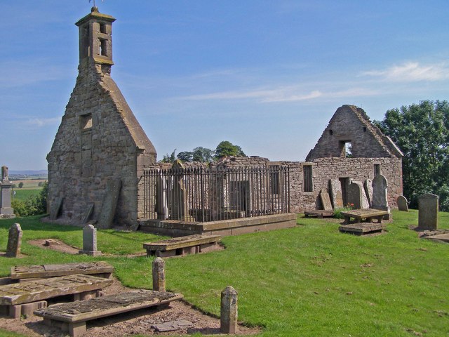
Eassie Old Church
Eassie Old Church is a ruined 13th-century parish church located near the village of Eassie in Angus, Scotland. Erected in the corner of the church is...
Balkeerie
Balkeerie is a village in Angus, Scotland north of Dundee. It has an elevation of 222 feet (68 m) above sea level. It is one mile (1.6 km) to the north...

Ark Hill
Ark Hill is a mountainous landform within the Sidlaw Hills in Angus, Scotland. This location has been proposed as a windfarm for generating renewable...
Nearby Amenities
Located within 500m of 56.594395,-3.0550591Have you been to Murleywell Strip?
Leave your review of Murleywell Strip below (or comments, questions and feedback).