Ardoch Wood
Wood, Forest in Banffshire
Scotland
Ardoch Wood
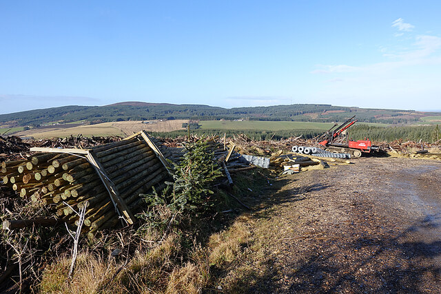
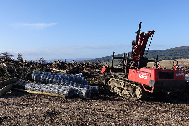
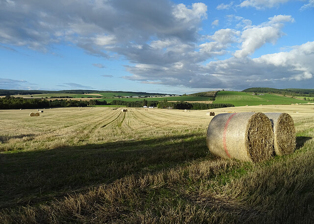
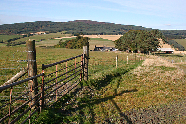
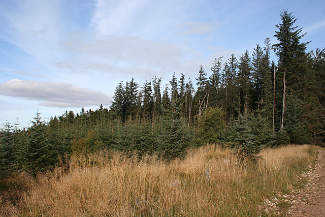
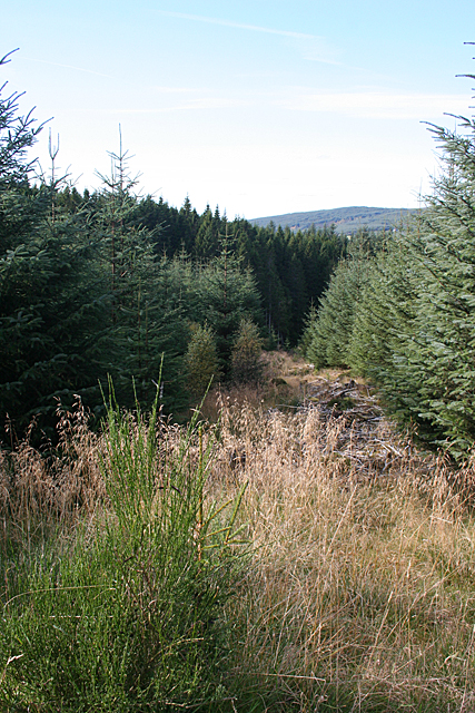
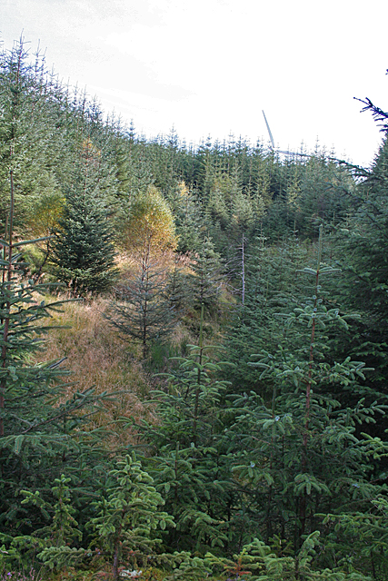
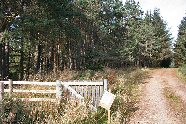
Ardoch Wood is a charming woodland situated in Banffshire, Scotland. Covering an area of approximately 100 hectares, the wood is a haven for nature enthusiasts and outdoor adventurers alike. It is located near the village of Aberchirder, just a short drive from the town of Huntly.
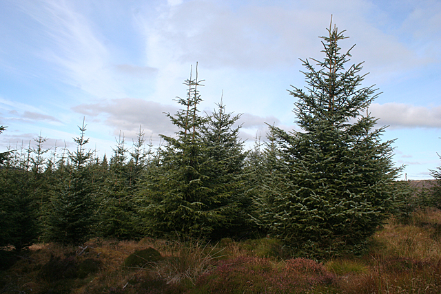
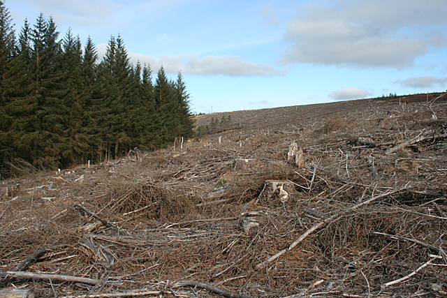
This ancient woodland is predominantly composed of native species, including Scots pine, birch, oak, and rowan trees. These majestic trees create a lush green canopy, providing a tranquil and picturesque setting for visitors to explore. The forest floor is adorned with a vibrant carpet of wildflowers, ferns, and mosses, further enhancing the natural beauty of the area.
Ardoch Wood is home to a diverse range of wildlife, making it an ideal destination for birdwatchers and animal lovers. Visitors may catch a glimpse of red squirrels, roe deer, and various species of birds, including woodpeckers, owls, and songbirds. The wood also plays host to a number of rare and protected species, such as the Scottish wildcat and the capercaillie.
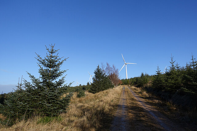
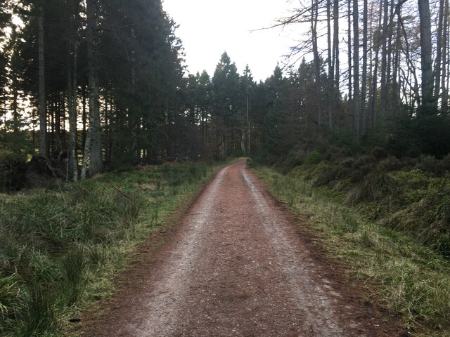
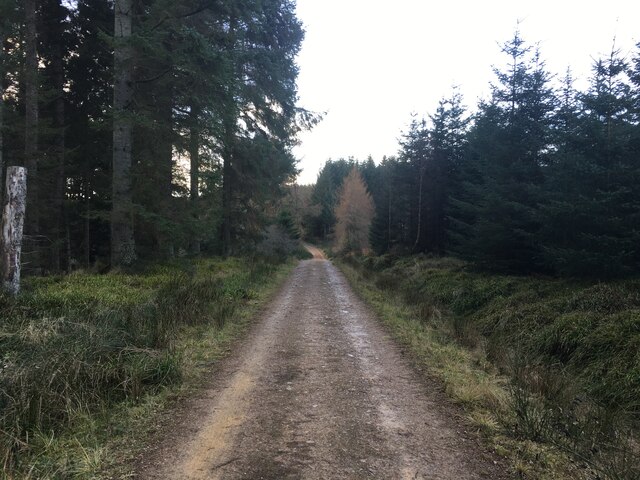
The wood offers several well-maintained trails and paths, enabling visitors to explore its serene surroundings at their own pace. Whether hiking, cycling, or simply taking a leisurely stroll, visitors can immerse themselves in the tranquility of nature and breathe in the fresh, crisp air that characterizes the wood.
Ardoch Wood is a place of natural beauty and conservation, providing a sanctuary for both flora and fauna. Its accessibility and diverse range of activities make it a popular destination for locals and tourists alike, seeking to reconnect with nature and experience the magic of a Scottish woodland.
If you have any feedback on the listing, please let us know in the comments section below.
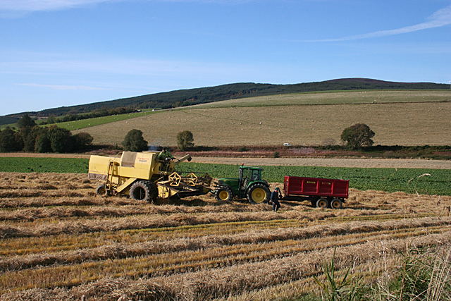
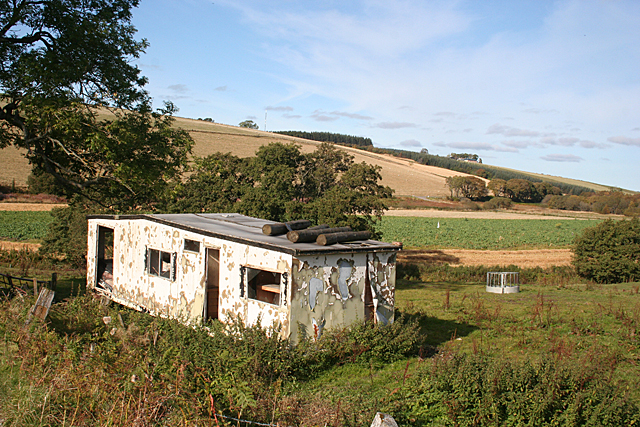
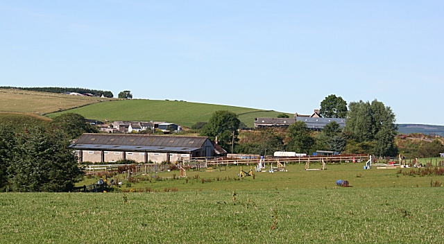
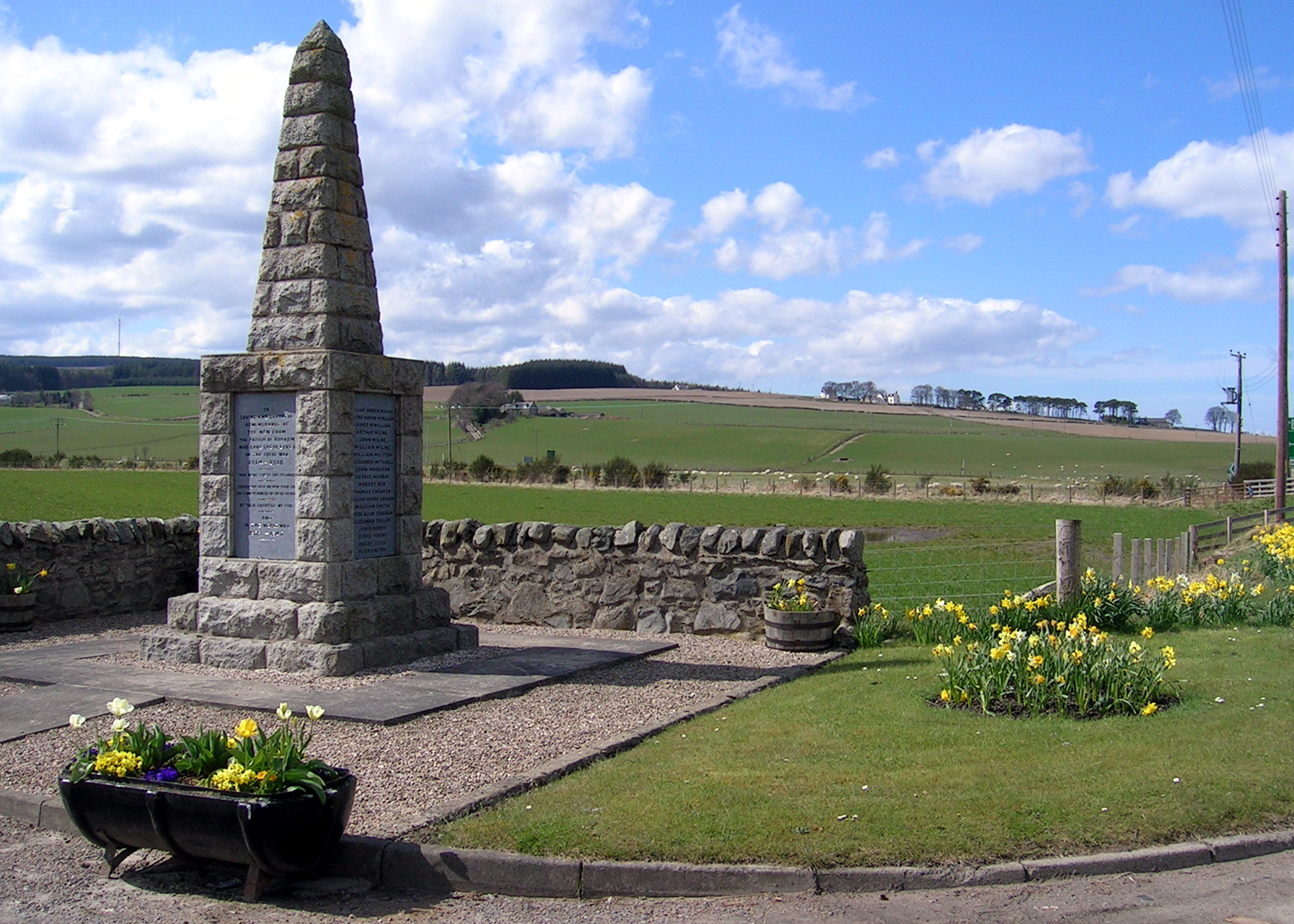
Ardoch Wood Images
Images are sourced within 2km of 57.520633/-3.0927227 or Grid Reference NJ3448. Thanks to Geograph Open Source API. All images are credited.
Ardoch Wood is located at Grid Ref: NJ3448 (Lat: 57.520633, Lng: -3.0927227)
Unitary Authority: Moray
Police Authority: North East
What 3 Words
///successor.proof.ferrying. Near Rothes, Moray
Nearby Locations
Related Wikis
Boharm
Boharm is a rural parish in the Speyside area of north Scotland, midway between Aberlour and Fochabers, and north of Dufftown. It lies on minor roads to...

Banffshire
Banffshire (; Scots: Coontie o Banffshire; Scottish Gaelic: Siorrachd Bhanbh) is a historic county, registration county and lieutenancy area of Scotland...
Mulben
Mulben (Scottish Gaelic: Am Muileann Bàn) is a hamlet situated at a crossroads that forms the intersection of the A95 road and the B9103 in the Moray council...

Mulben railway station
Mulben railway station served the hamlet of Mulben, Moray, Scotland from 1858 to 1964 on the Inverness and Aberdeen Junction Railway. == History == The...
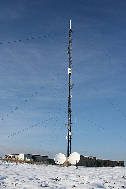
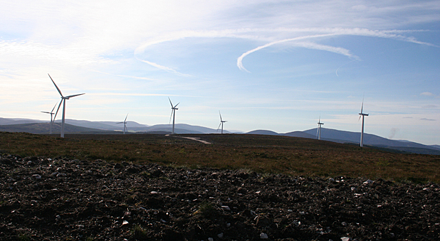
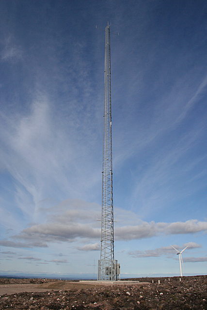
Knock More transmitting station
The Knock More transmitting station (sometimes spelled "Knockmore") is a broadcasting facility, located at Knock More, to east of the parish of Boharm...

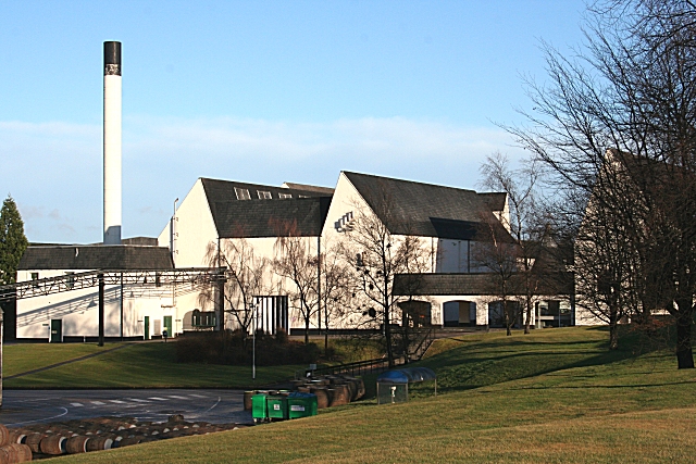
Glentauchers distillery
Glentauchers distillery is a Speyside Scottish whisky distillery in Mulben, Keith, Scotland. == History == Glentauchers distillery was founded in 1897...

Tauchers Platform railway station
Tauchers Platform railway station served Glentauchers distillery, Mulben, Moray, Scotland that had originally opened in 1897 and the hamlet of Tauchers...
Auchroisk distillery
Auchroisk distillery is a whisky distillery in Banffshire, speyside Scotland. It was established after Dorie's Well was discovered and found to have water...
Nearby Amenities
Located within 500m of 57.520633,-3.0927227Have you been to Ardoch Wood?
Leave your review of Ardoch Wood below (or comments, questions and feedback).