The Common Forest

Wood, Forest in Peeblesshire

Scotland

The Common Forest

Soggy ground on the west ridge of Glede Knowe
Soggy ground on the west ridge of Glede Knowe Credit: Gordon Brown

The requested URL returned error: 429 Too Many Requests

If you have any feedback on the listing, please let us know in the comments section below.

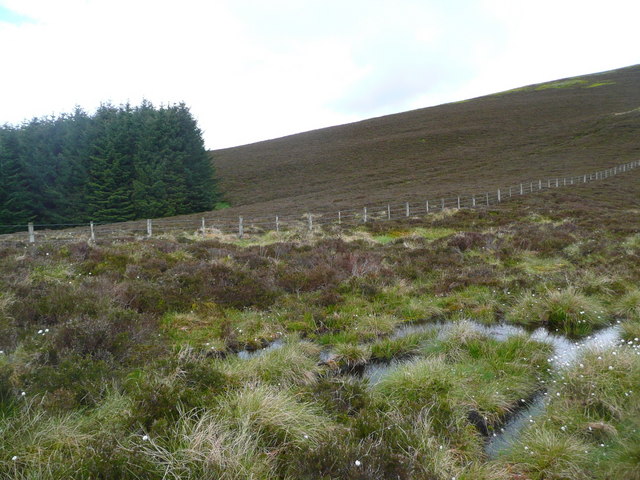
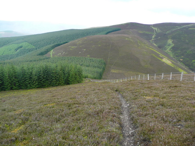
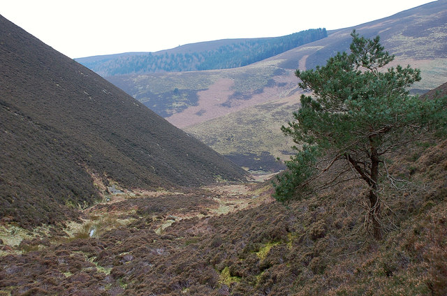
The Common Forest Images

Images are sourced within 2km of 55.644407/-3.0408083 or Grid Reference NT3439. Thanks to Geograph Open Source API. All images are credited.

Soggy ground on the west ridge of Glede Knowe
Struggling up Corby Craigs The path here is indistinct and morale is damaged by losing a lot of height from Priesthope Hill.  The initial descent is on the forest side of the fence and the path is eroded and awkward - cross the fence as soon as possible!
Struggling up Corby Craigs
The path here is indistinct and morale is damaged by losing a lot of height from Priesthope Hill. The initial descent is on the forest side of the fence and the path is eroded and awkward - cross the fence as soon as possible!
The approach to Glede Knowe from Priesthope Hill The path descending here becomes eroded and awkward as it closes the forest - cross the fence to the other side as soon as possible!
The approach to Glede Knowe from Priesthope Hill
The path descending here becomes eroded and awkward as it closes the forest - cross the fence to the other side as soon as possible!
Priesthope Sware from Scawd Law Patterns in the heather and bracken give added interest to this profile of the col on the ridge from Priesthope Hill to Corby Craigs.
Priesthope Sware from Scawd Law
Patterns in the heather and bracken give added interest to this profile of the col on the ridge from Priesthope Hill to Corby Craigs.
The lower end of East Grain The burn joins West Grain just downstream where they form Priesthope Burn.
The lower end of East Grain
The burn joins West Grain just downstream where they form Priesthope Burn.
Windlestraw Law from the air The 659 metre peak is to the left of the cloud near the centre.
Windlestraw Law from the air
The 659 metre peak is to the left of the cloud near the centre.
Colquhar Shank from the air Colquhar Shank is in the lowe right corner. Leithen Water can also be seen near the bottom of the photo.
Colquhar Shank from the air
Colquhar Shank is in the lowe right corner. Leithen Water can also be seen near the bottom of the photo.
Forest road, Priesthope Hill The road rises gently from a junction near Pious Dean above the Innerleithen golf course.
Forest road, Priesthope Hill
The road rises gently from a junction near Pious Dean above the Innerleithen golf course.
Shaw Burn, Priesthope Hill A small burn in Caberston Forest draining westwards to the Leithen Water.
Shaw Burn, Priesthope Hill
A small burn in Caberston Forest draining westwards to the Leithen Water.
The Leithen Water Looking upstream from near The Ley.
The Leithen Water
Looking upstream from near The Ley.
Woodland at The Ley In the valley of the Leithen Water, with Lee Pen [502m] beyond.
Woodland at The Ley
In the valley of the Leithen Water, with Lee Pen [502m] beyond.
Leithen Water Near The Ley.
Leithen Water
Near The Ley.
Leithen Water next to the road
Ridge to Priesthope Hill Heather moor with Caberston Forest to the west of the ridge.
Ridge to Priesthope Hill
Heather moor with Caberston Forest to the west of the ridge.
West Grain from Glede Knowe The burn of West Grain combines with East Grain from the other side of Middle Hill to become the Priesthope Burn.
West Grain from Glede Knowe
The burn of West Grain combines with East Grain from the other side of Middle Hill to become the Priesthope Burn.
Upper end of West Grain The gathering grounds of the burn showing as a strip of grass.
Upper end of West Grain
The gathering grounds of the burn showing as a strip of grass.
West Grain The steep-sided cleuch  enclosing the burn on the west side of Middle Hill.
West Grain
The steep-sided cleuch enclosing the burn on the west side of Middle Hill.
Thorter Sike A burn on the west side of Middle Hill joining the West Grain. There is another Thorter Sike in the hills north of the Ettrick Water: <a href="https://www.geograph.org.uk/photo/6096398">NT2315 : Thorter Sike and Scabcleuch Hill</a>. According to the Concise Scots Dictionary 'thorter' means lying across, as in a burn crossing the hillside.
Thorter Sike
A burn on the west side of Middle Hill joining the West Grain. There is another Thorter Sike in the hills north of the Ettrick Water: NT2315 : Thorter Sike and Scabcleuch Hill. According to the Concise Scots Dictionary 'thorter' means lying across, as in a burn crossing the hillside.
Show me another place!

The Common Forest is located at Grid Ref: NT3439 (Lat: 55.644407, Lng: -3.0408083)

Unitary Authority: The Scottish Borders

Police Authority: The Lothians and Scottish Borders

What 3 Words

///processes.contracts.offshore. Near Innerleithen, Scottish Borders

Nearby Locations

The Common Forest

Related Wikis

Walkerburn

Walkerburn (Scottish Gaelic: Allt an Fhùcadair) is a small village in the Scottish Borders area of Scotland, on the A72 about 8 miles (13 km) from Peebles...

The Kirna

The Kirna, known locally as Kirna House (previously also as Grangehill), is a Category A listed villa in Walkerburn, Peeblesshire, Scotland. It is one...

Walkerburn railway station

Walkerburn railway station served the village of Walkerburn, Scottish Borders, Scotland from 1867 to 1962 on the Peebles Railway. == History == The station...

Robert Smail's Printing Works

Robert Smail's Printing Works is a fully functional Victorian era letterpress printing works in the small Scottish Borders town of Innerleithen, now preserved...

Have you been to The Common Forest?

Leave your review of The Common Forest below (or comments, questions and feedback).