Alvington
Settlement in Gloucestershire Forest of Dean
England
Alvington
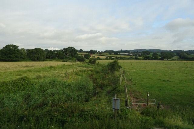
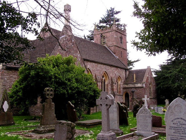
Alvington is a small village located in the county of Gloucestershire, England. Situated in the beautiful Forest of Dean, it is surrounded by picturesque countryside and boasts a tranquil and idyllic setting. The village is nestled on the eastern bank of the River Severn, providing residents and visitors with stunning views of the river and its surrounding landscapes.
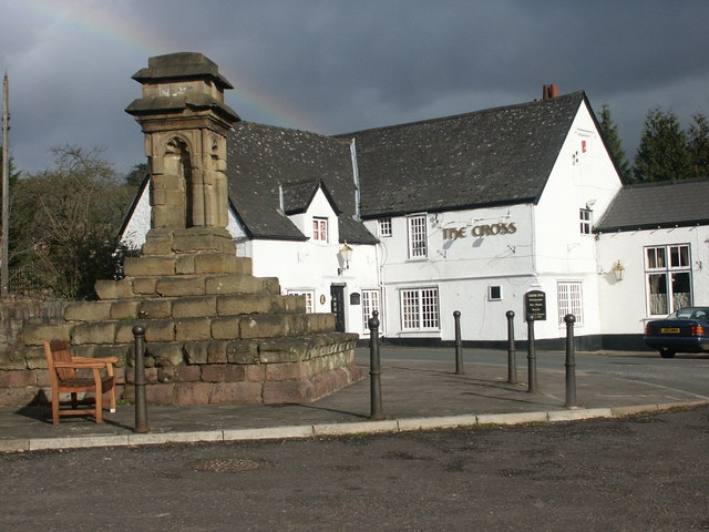
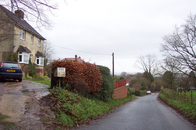
Historically, Alvington has been a rural community, primarily dependent on agriculture and forestry. Its charming character is reflected in the traditional stone cottages and buildings that dot the village, giving it a distinct charm and timeless appeal. The village is well-connected to the nearby towns and cities, with excellent road links and public transportation options.
Despite its small size, Alvington offers a range of amenities for its residents. These include a village hall, a local pub, and a primary school, providing a close-knit community atmosphere. Additionally, the village is within close proximity to larger towns such as Lydney and Chepstow, where residents can find a wider range of services and facilities.
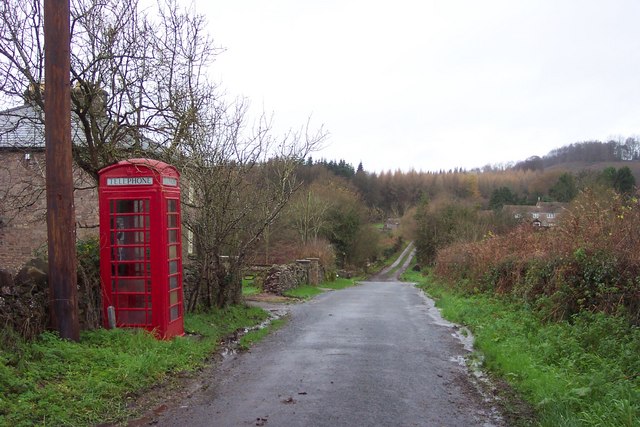
Outdoor enthusiasts will find themselves in paradise in Alvington, as the village is surrounded by the natural beauty of the Forest of Dean. The forest offers a wealth of walking, cycling, and hiking trails, allowing visitors to explore the stunning woodlands, valleys, and rivers that make up the area.
In summary, Alvington is an enchanting village nestled in the Forest of Dean, boasting a peaceful and rural lifestyle. With its stunning surroundings and close proximity to larger towns, it offers the perfect blend of tranquility and convenience for residents and visitors alike.
If you have any feedback on the listing, please let us know in the comments section below.
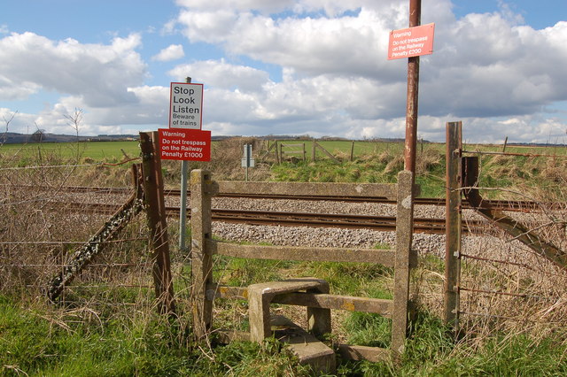
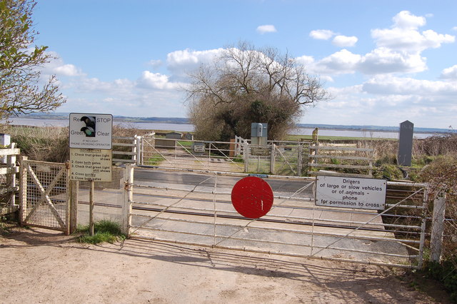
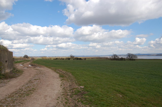
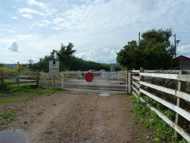
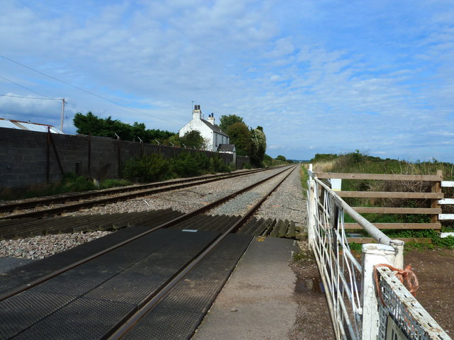
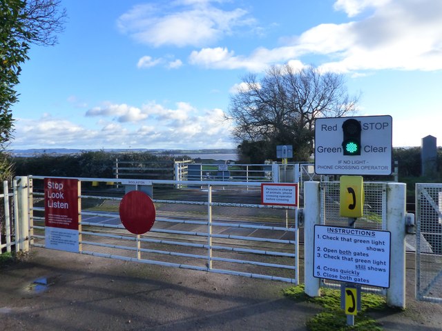
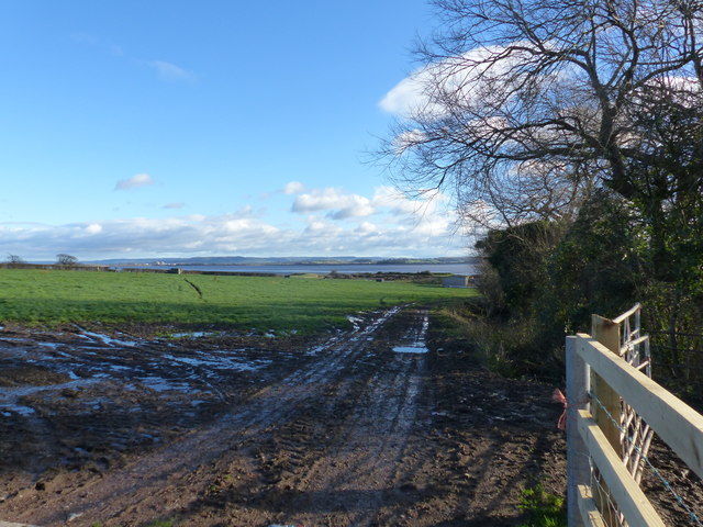
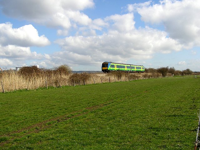
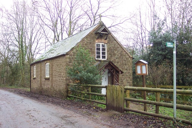
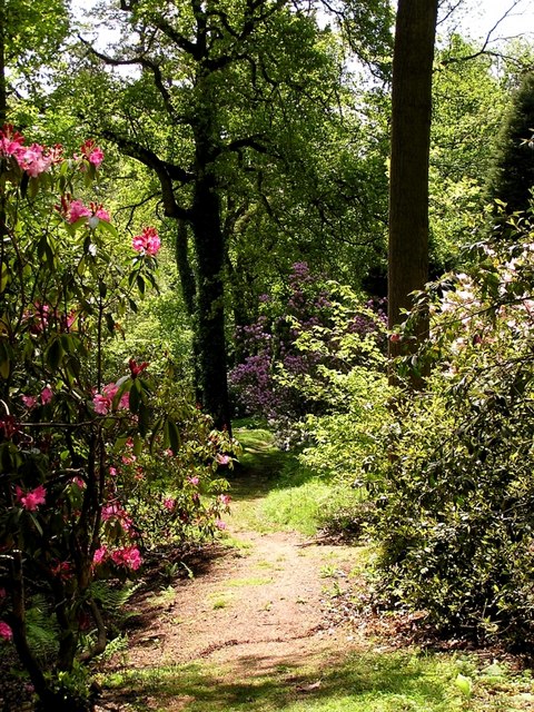
Alvington Images
Images are sourced within 2km of 51.706122/-2.5768043 or Grid Reference SO6000. Thanks to Geograph Open Source API. All images are credited.

Alvington is located at Grid Ref: SO6000 (Lat: 51.706122, Lng: -2.5768043)
Administrative County: Gloucestershire
District: Forest of Dean
Police Authority: Gloucestershire
What 3 Words
///convey.sizzled.weeknight. Near Lydney, Gloucestershire
Nearby Locations
Related Wikis

Alvington, Gloucestershire
Alvington is a village and civil parish in the Forest of Dean in Gloucestershire, England, situated on the A48 road, six miles north-east of Chepstow in...

Aylburton
Aylburton is a village and civil parish in the Forest of Dean district of Gloucestershire, England, on the A48 road about two miles south-west of Lydney...

Woolaston
Woolaston is a village and civil parish in the Forest of Dean district of Gloucestershire in South West England. It lies on the north side of the Severn...
Lydney Park
Lydney Park is a 17th-century country estate surrounding Lydney House, located at Lydney in the Forest of Dean district in Gloucestershire, England. It...
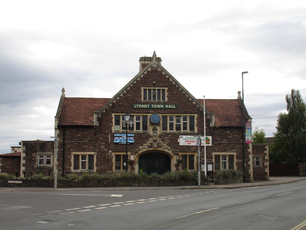
Lydney Town Hall
Lydney Town Hall is a municipal structure in the High Street, Lydney, Gloucestershire, England. The structure, which is used as an events venue, is listed...

The Dean Academy
The Dean Academy (formerly Whitecross School) is a mixed secondary school located in Lydney in the English county of Gloucestershire. == Location == The...

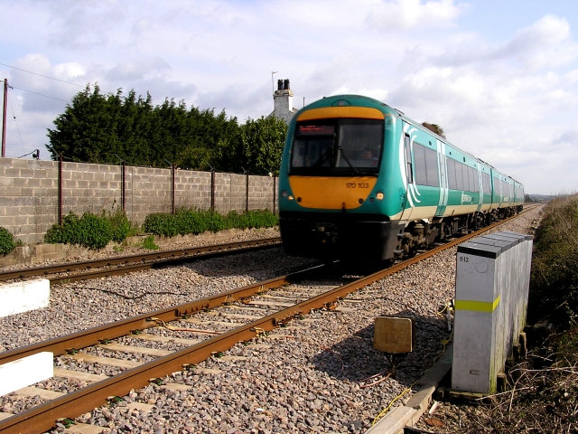
Lydney railway station
Lydney railway station is a railway station serving the town of Lydney in Gloucestershire, England. It is located on the Gloucester-Newport line, 133 miles...
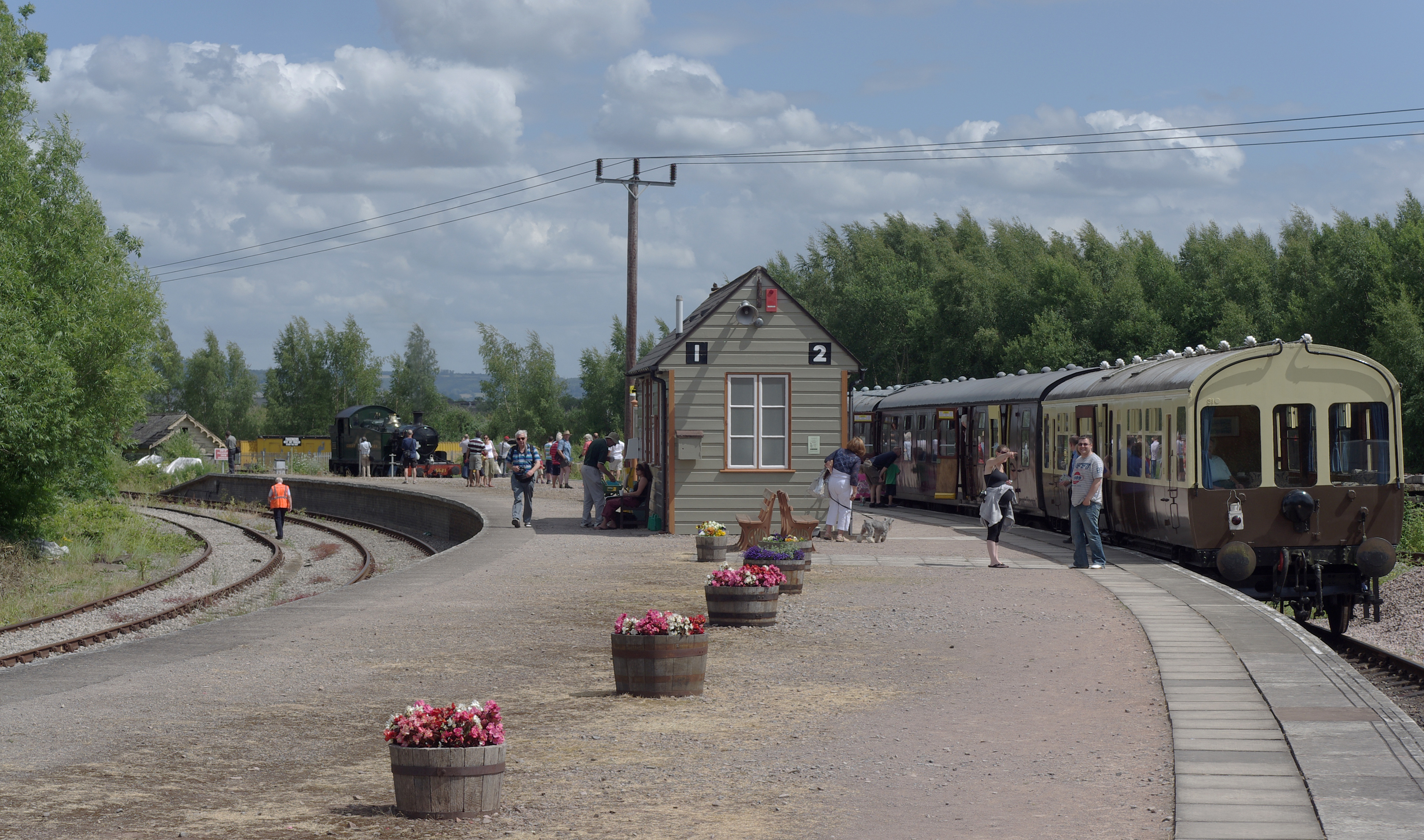
Lydney Junction railway station
Lydney Junction railway station is a railway station near Lydney in Gloucestershire. The station is now the southern terminus of the Dean Forest Railway...
Nearby Amenities
Located within 500m of 51.706122,-2.5768043Have you been to Alvington?
Leave your review of Alvington below (or comments, questions and feedback).