Baker's Avenue Wood
Wood, Forest in Midlothian
Scotland
Baker's Avenue Wood
Baker's Avenue Wood is a picturesque woodland located in the Midlothian region of Scotland. Spanning across a vast area, this forest is a haven for nature enthusiasts and provides an escape from the bustling city life of nearby Edinburgh.
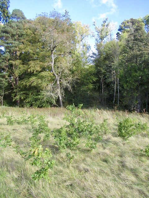
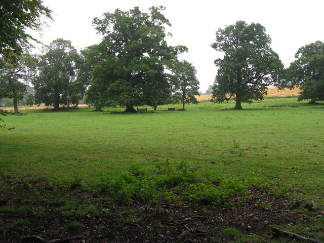
The woodland is characterized by its dense canopy of tall trees, predominantly comprising of oak, birch, and pine varieties. These towering trees create a serene and tranquil atmosphere, offering visitors a sense of peace and tranquility as they immerse themselves in nature's beauty.
The forest floor is covered in a rich carpet of mosses, ferns, and wildflowers, lending a vibrant and colorful touch to the landscape. This diverse ecosystem supports a wide array of wildlife, including birds, squirrels, and small mammals.
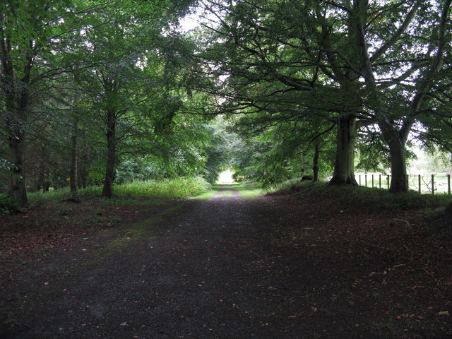
Baker's Avenue Wood is also home to a network of meandering trails, perfect for hiking and exploring. These well-maintained paths guide visitors through the heart of the forest, unveiling hidden gems such as secluded clearings and babbling brooks along the way.
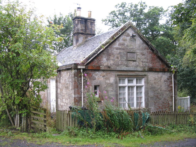
In addition to its natural beauty, Baker's Avenue Wood also holds historical significance. The woodland was once part of the expansive estate of a local baker, hence its name. Today, remnants of old stone walls and ruins can still be spotted, serving as a reminder of the area's past.
Overall, Baker's Avenue Wood is a captivating destination for nature lovers and history enthusiasts alike. Its lush greenery, diverse wildlife, and tranquil ambiance make it an idyllic spot for a leisurely stroll, wildlife spotting, or simply a peaceful retreat from the hustle and bustle of everyday life.
If you have any feedback on the listing, please let us know in the comments section below.
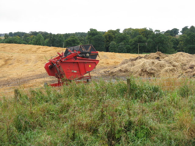
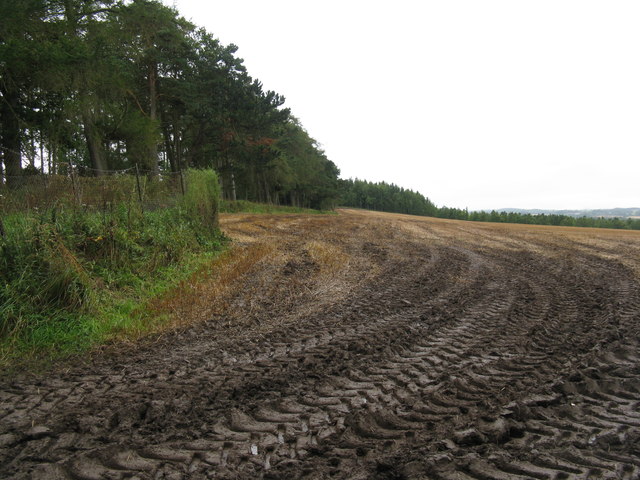
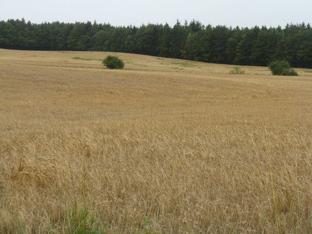
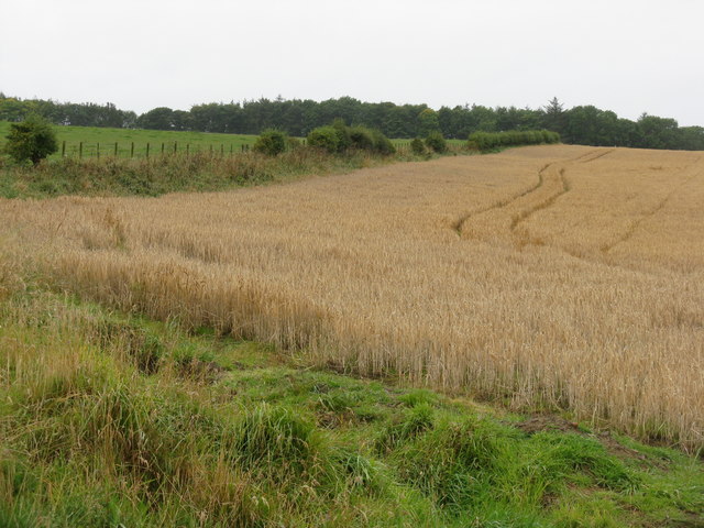
Baker's Avenue Wood Images
Images are sourced within 2km of 55.831145/-3.0546198 or Grid Reference NT3460. Thanks to Geograph Open Source API. All images are credited.
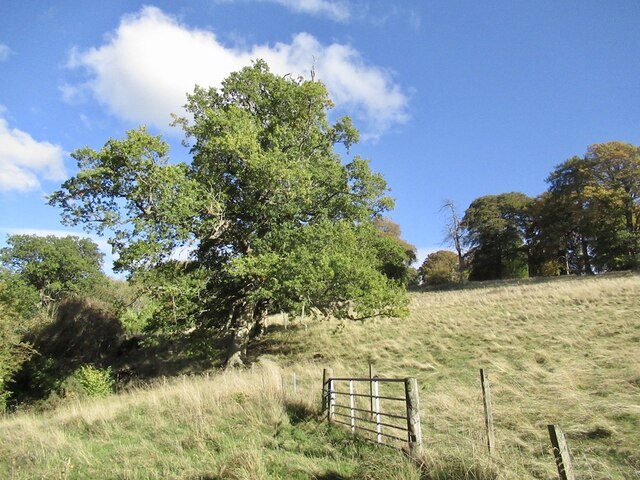
![Rowans at Arniston Looking towards the B6372 Gorebridge-Penicuik road at its junction with the road from Middleton, and by the [closed] gates to Arniston.](https://s2.geograph.org.uk/geophotos/02/59/29/2592974_1da975c5.jpg)
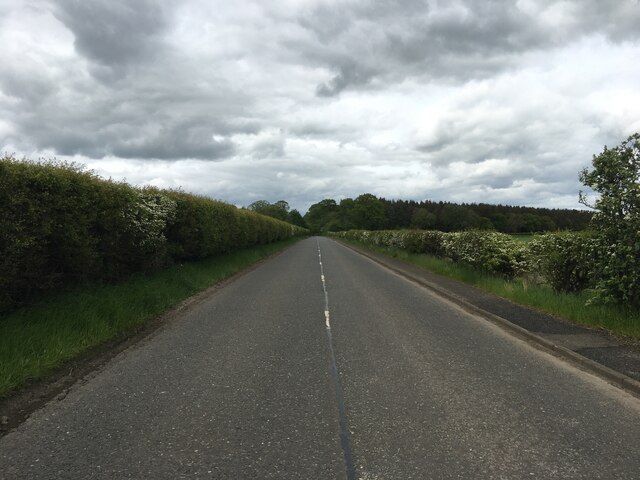
![Arniston Home Farm Looking across a grass field from the Gorebridge-Penicuik road [B6372].](https://s0.geograph.org.uk/geophotos/02/59/30/2593076_5eb02c1b.jpg)
Baker's Avenue Wood is located at Grid Ref: NT3460 (Lat: 55.831145, Lng: -3.0546198)
Unitary Authority: Midlothian
Police Authority: The Lothians and Scottish Borders
What 3 Words
///dwell.imprints.relate. Near Gorebridge, Midlothian
Nearby Locations
Related Wikis

Arniston, Midlothian
Arniston is a village in Midlothian, Scotland. == People from Arniston == The plant collector, David Bowman, was born in Arniston in 1838. == See also... ==
Birkenside, Midlothian
Birkenside is a village, adjacent to the A7 road, at the south of Gorebridge in Midlothian, Scotland. == See also == List of places in Midlothian List...
Catcune Castle
Catcune Castle was a castle around 1 mile (1.6 km) south of Gorebridge, north of the Gore Water, in Midlothian, Scotland. == History == This was originally...

Gorebridge railway station
Gorebridge is a railway station on the Borders Railway, which runs between Edinburgh Waverley and Tweedbank. The station, situated 11 miles 77 chains...
Fushiebridge railway station
Fushiebridge railway station served the area of Fushiebridge, Gorebridge, from 1847 to 1959 on the Waverley Route. == History == The station opened on...

Newbyres Castle
Newbyres Castle was a 16th-century tower house, in Gorebridge, Midlothian, Scotland, west of the main street. The tower occupied a roughly triangular position...

Gorebridge
Gorebridge is a former mining village in Midlothian, Scotland. Gorebridge has an annual Gala Day which always takes place on the 3rd Saturday in June....

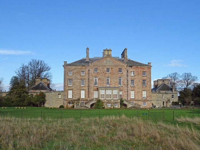
Arniston House
Arniston House is a historic house in Midlothian, Scotland, near the village of Temple. This Georgian mansion was designed by William Adam in 1726 for...
Nearby Amenities
Located within 500m of 55.831145,-3.0546198Have you been to Baker's Avenue Wood?
Leave your review of Baker's Avenue Wood below (or comments, questions and feedback).