Tininver Brae
Wood, Forest in Banffshire
Scotland
Tininver Brae
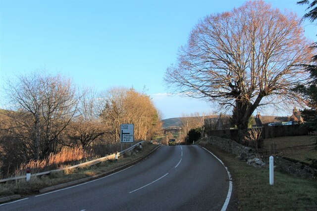
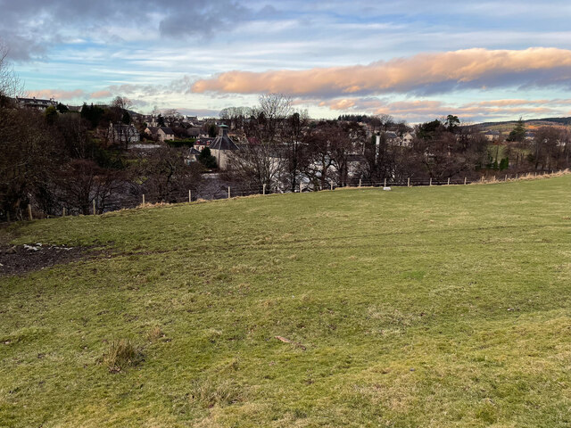
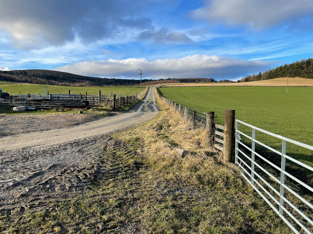
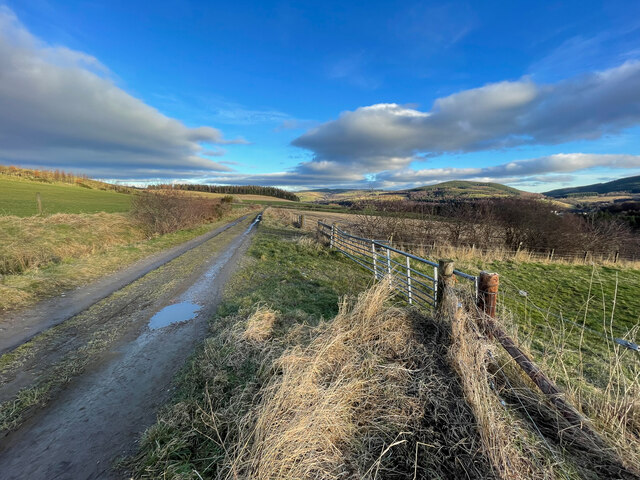
Tininver Brae is a picturesque woodland located in the county of Banffshire, Scotland. Covering an area of approximately 50 acres, it is known for its stunning natural beauty and diverse range of plant and animal species. The brae, meaning a hill or slope, is characterized by its gently rolling terrain, which offers visitors breathtaking views of the surrounding countryside.
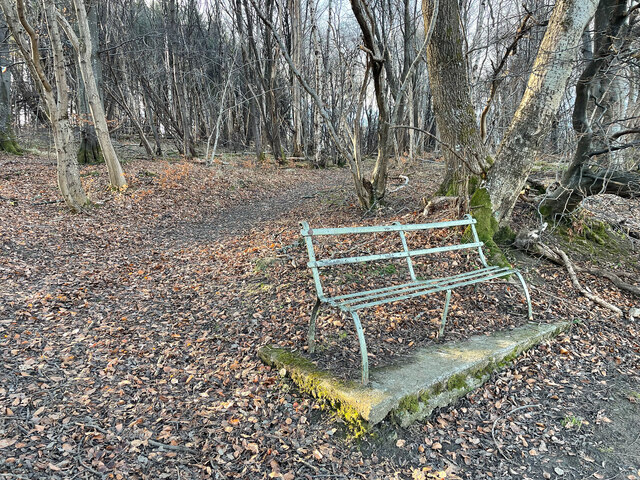
The woodland is primarily composed of native tree species such as oak, birch, and Scots pine, creating a rich and vibrant ecosystem. These trees provide a habitat for a variety of wildlife, including red squirrels, roe deer, and a wide array of bird species. Nature enthusiasts and birdwatchers frequent Tininver Brae to observe and appreciate the local fauna.
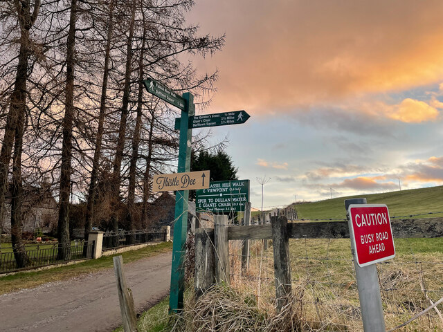
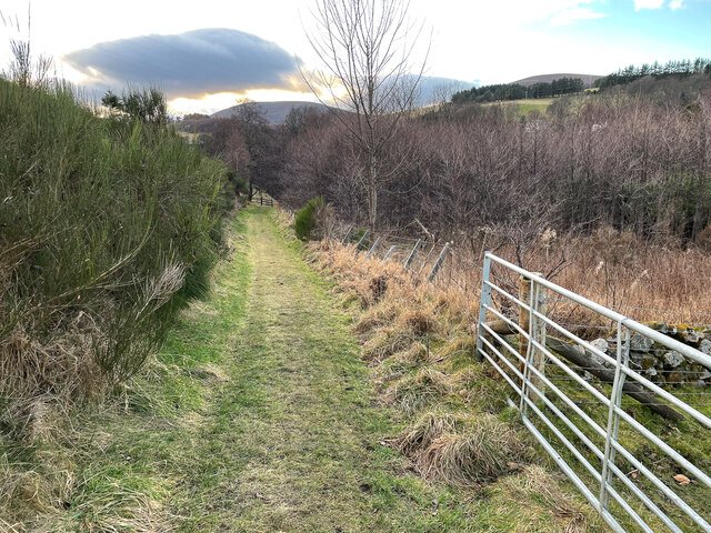
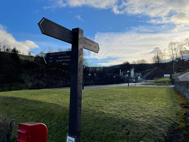
Traversing through Tininver Brae, visitors will find well-maintained walking trails that meander through the woods, allowing them to immerse themselves in the tranquility of nature. The paths are easily accessible, making the woodland suitable for all ages and fitness levels.
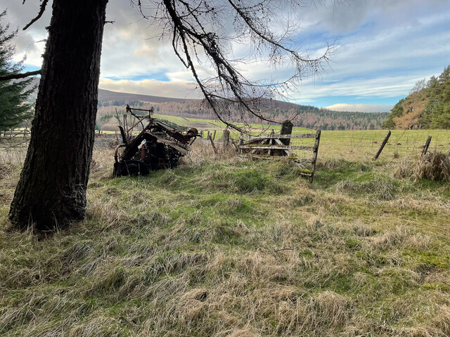
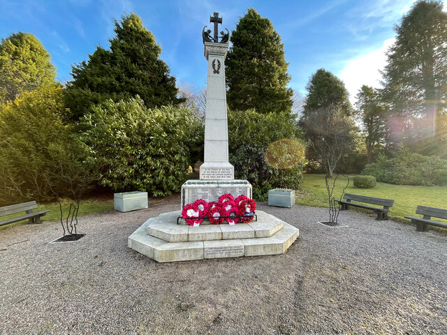
In addition to its natural beauty, Tininver Brae holds historical significance. Within the woodland, there are remnants of ancient stone structures, hinting at its past use by early settlers or farmers in the region. These archaeological features add an element of intrigue and exploration for those interested in the area's history.
Overall, Tininver Brae in Banffshire offers a serene and enchanting experience for nature lovers, providing an opportunity to connect with the natural world and appreciate the wonders of Scotland's woodlands.
If you have any feedback on the listing, please let us know in the comments section below.
Tininver Brae Images
Images are sourced within 2km of 57.451497/-3.1214889 or Grid Reference NJ3240. Thanks to Geograph Open Source API. All images are credited.
Tininver Brae is located at Grid Ref: NJ3240 (Lat: 57.451497, Lng: -3.1214889)
Unitary Authority: Moray
Police Authority: North East
What 3 Words
///fortnight.lemons.ignites. Near Dufftown, Moray
Nearby Locations
Related Wikis

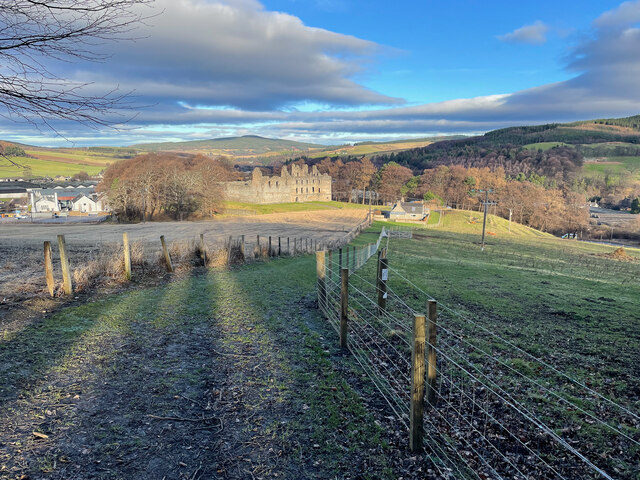
Balvenie Castle
Balvenie Castle is a ruined castle 1 km north of Dufftown in the Moray region of Scotland. == History == Originally known as Mortlach, it was built in...

Parkmore distillery
Parkmore distillery was a producer of single malt Scotch whisky that operated between 1894 and 1988. == History == Parkmore was founded in 1894 by the...
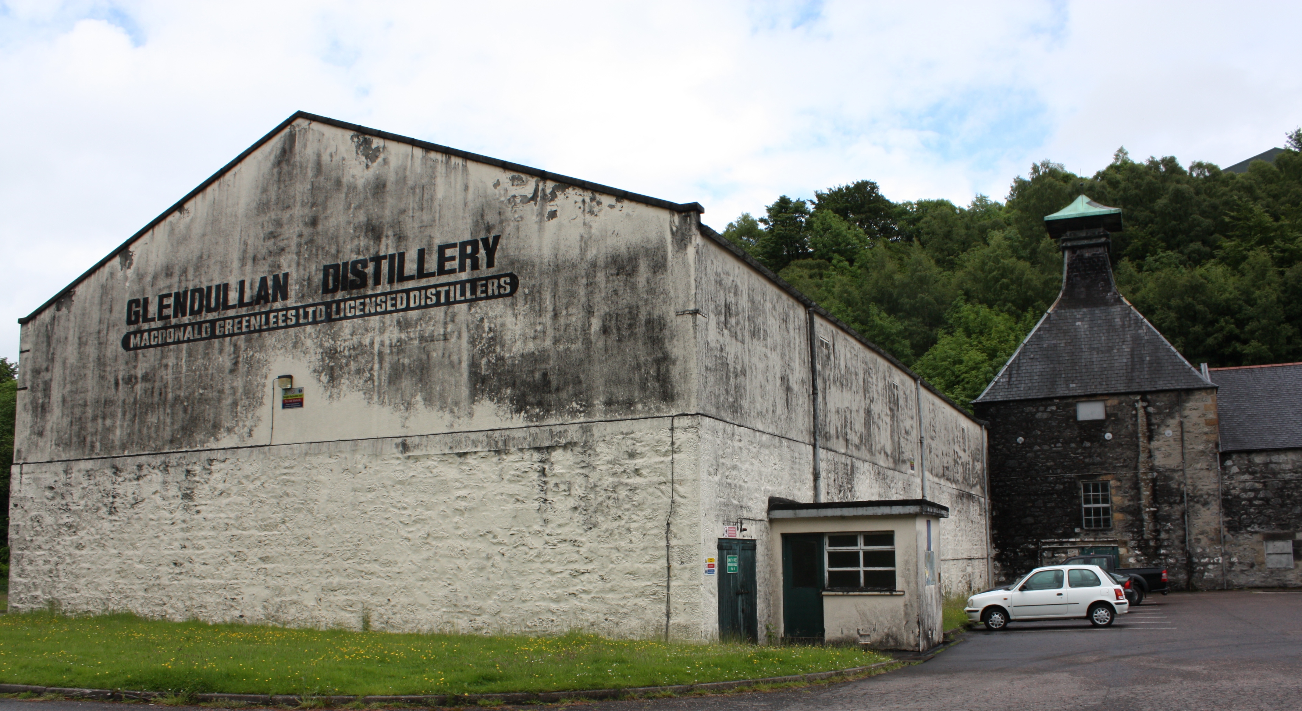
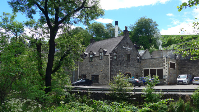
Glendullan distillery
Glendullan distillery is a single malt Scotch whisky distillery in Dufftown, Scotland in the Speyside region. Glendullan is owned by Diageo. == History... ==
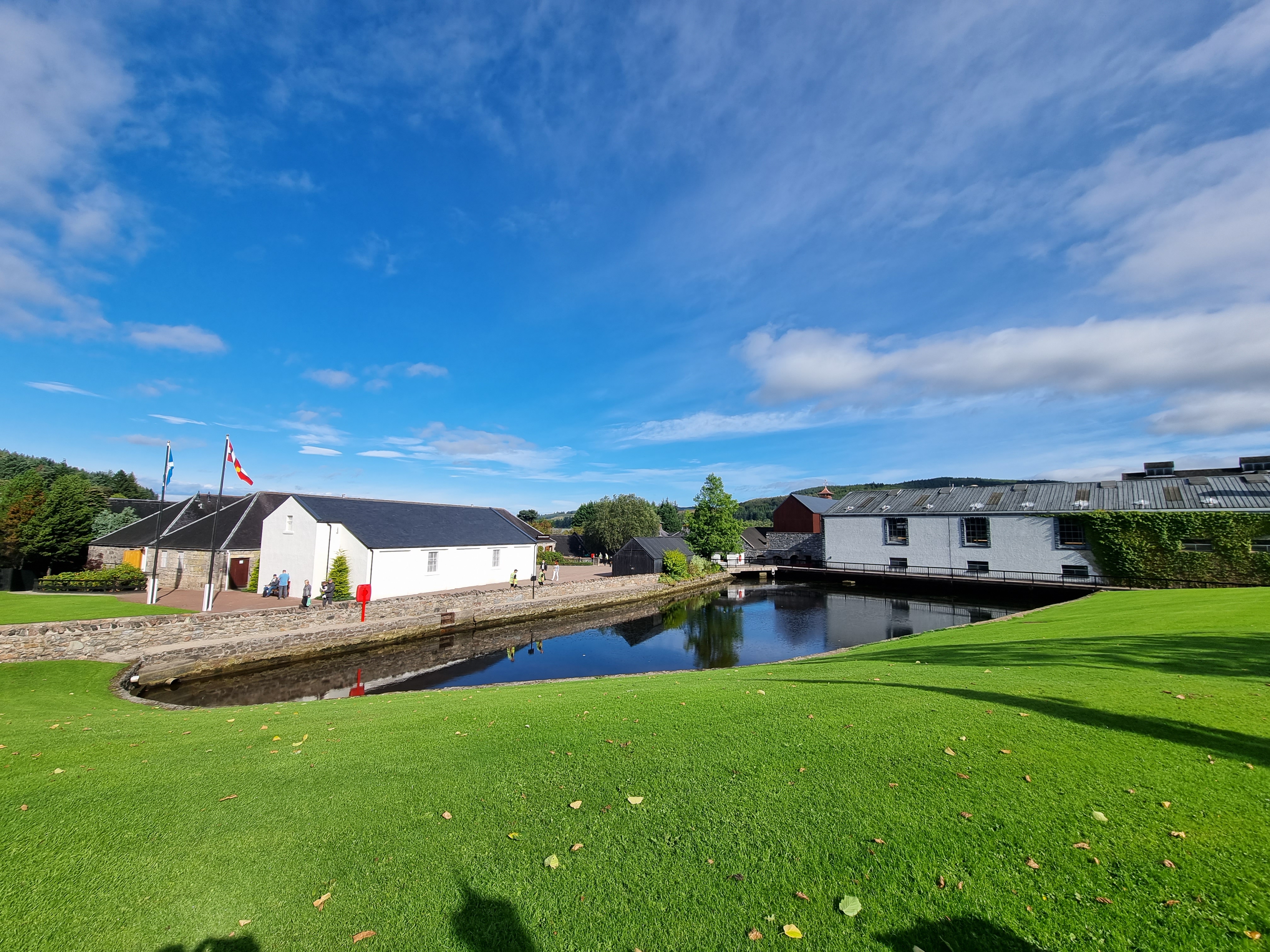
Glenfiddich distillery
Glenfiddich distillery (Scottish English: [ɡlɛnˈfɪdɪç]) is a Speyside single malt Scotch whisky distillery owned by William Grant & Sons in the Scottish...

Stephen Cottage Hospital
Stephen Hospital is a cottage hospital in Dufftown, Moray, Scotland. It is managed by NHS Grampian. == History == The hospital was endowed by George Stephen...

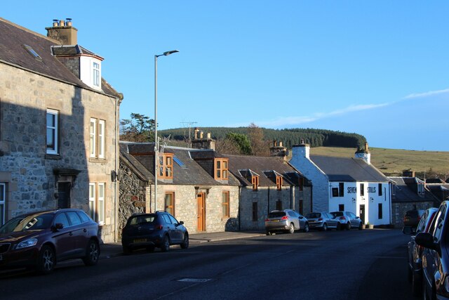
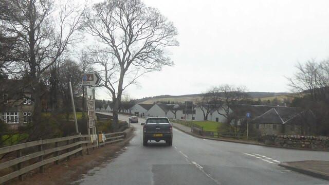
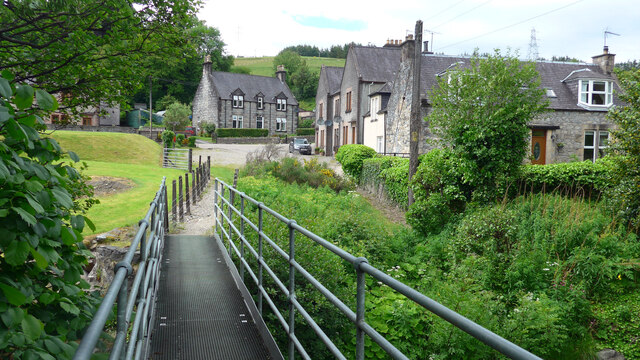
Dufftown
Dufftown (Scottish Gaelic: Baile Bhainidh [ˈpaləˈvanɪ(j)]) is a burgh in Moray, Scotland. While the town is part of the historic Mortlach parish, the town...

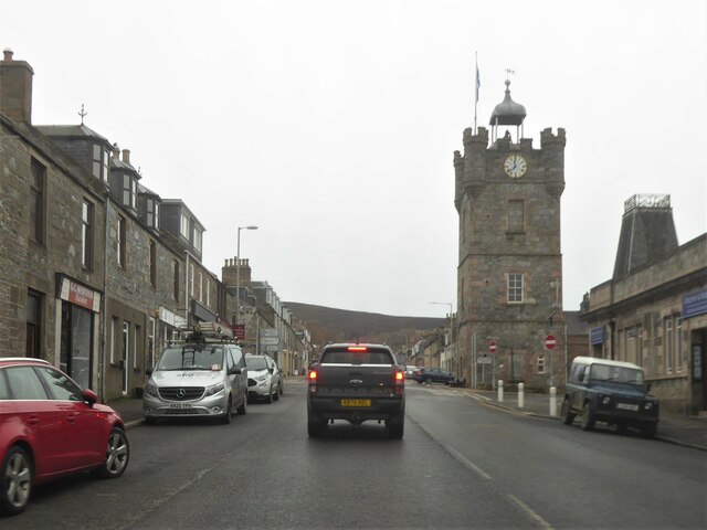
Dufftown Clock Tower
Dufftown Clock Tower is a stone tower with a clock at the crossroads in the centre of Dufftown, Banffshire, at the focal point of the town square. It...
Dufftown F.C.
Dufftown Football Club are a Scottish football club from the town of Dufftown, Moray. Members of the Scottish Junior Football Association since 2001, they...
Nearby Amenities
Located within 500m of 57.451497,-3.1214889Have you been to Tininver Brae?
Leave your review of Tininver Brae below (or comments, questions and feedback).