Cowfield Strip
Wood, Forest in Fife
Scotland
Cowfield Strip

Cowfield Strip is a dense woodland located in Fife, Scotland. Situated near the village of Cowfield, this forested area spans approximately 2 square kilometers. The strip is characterized by its lush greenery, tall trees, and diverse range of flora and fauna.
The forest is predominantly populated by deciduous trees such as oak, ash, and beech, which provide a dense canopy overhead. These towering giants create a serene and sheltered environment, offering a haven for various wildlife species.
Cowfield Strip is home to a diverse array of wildlife, making it a popular spot for nature enthusiasts and birdwatchers. Bird species that can be spotted here include woodpeckers, thrushes, and finches. Additionally, the forest is a habitat for small mammals like squirrels, rabbits, and hedgehogs.
The forest floor is covered in a thick layer of moss, ferns, and wildflowers, creating a picturesque landscape. Walking trails meander through the woodland, allowing visitors to explore and immerse themselves in the natural beauty of the surroundings.
The Cowfield Strip is not only cherished for its natural beauty but also for its recreational opportunities. It offers a peaceful setting for activities such as hiking, picnicking, and photography. The tranquil atmosphere and scenic views make it an ideal place for visitors to unwind and connect with nature.
Overall, Cowfield Strip in Fife is a captivating woodland that offers a rich biodiversity and a tranquil retreat for nature lovers.
If you have any feedback on the listing, please let us know in the comments section below.
Cowfield Strip Images
Images are sourced within 2km of 56.149603/-3.083513 or Grid Reference NT3295. Thanks to Geograph Open Source API. All images are credited.


Cowfield Strip is located at Grid Ref: NT3295 (Lat: 56.149603, Lng: -3.083513)
Unitary Authority: Fife
Police Authority: Fife
What 3 Words
///shed.prime.snug. Near East Wemyss, Fife
Nearby Locations
Related Wikis
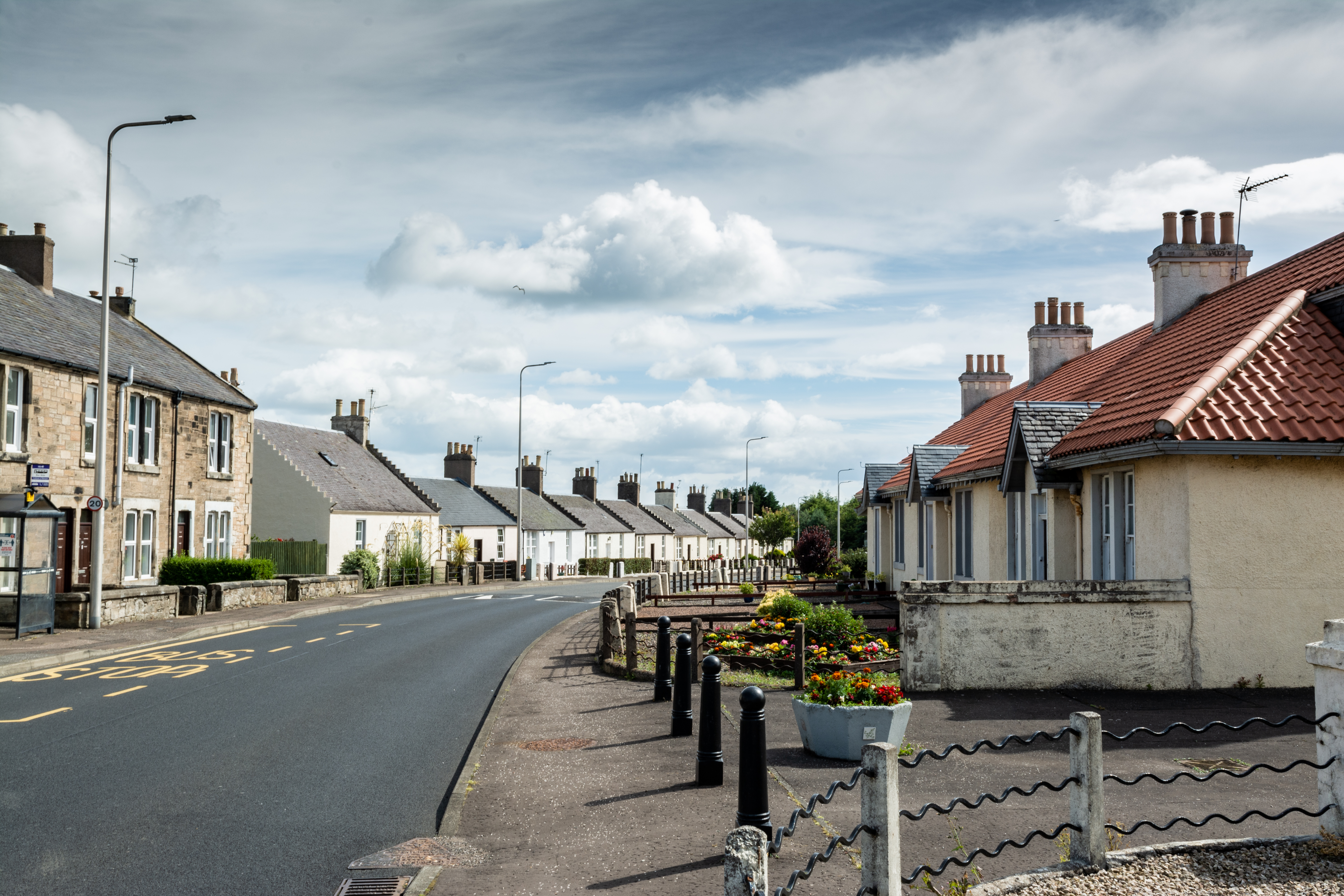
Coaltown of Wemyss
Coaltown of Wemyss () is a village in south-east Fife, Scotland, around 5 km north of Kirkcaldy. The town was built in the 1890s as an estate village on...

Wemyss Castle
Wemyss Castle (pronounced [weems]) is situated in Wemyss on the sea cliffs between the villages of East Wemyss and West Wemyss in Fife, Scotland. Wemyss...

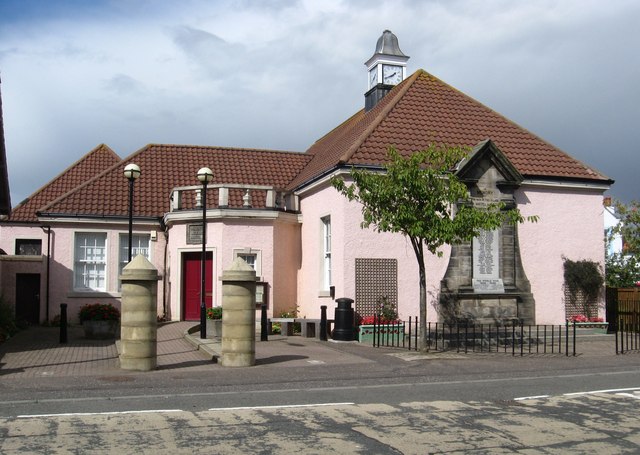
West Wemyss Tolbooth
West Wemyss Tolbooth is a municipal building in Main Street, West Wemyss, Fife, Scotland. The structure, which is used as commercial offices, is a Category...
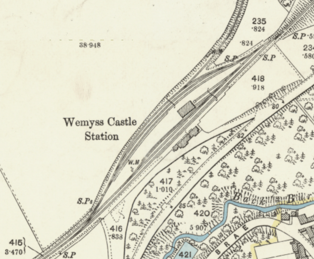
Wemyss Castle railway station
Wemyss Castle railway station served the village of East Wemyss , Fife, Scotland, from 1881 to 1955 on the Wemyss and Buckhaven Railway. == History... ==
Nearby Amenities
Located within 500m of 56.149603,-3.083513Have you been to Cowfield Strip?
Leave your review of Cowfield Strip below (or comments, questions and feedback).