Standingstone Plantation
Wood, Forest in Fife
Scotland
Standingstone Plantation
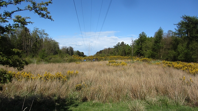
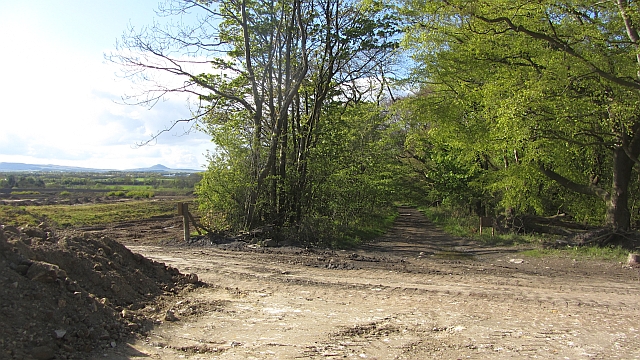
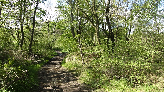
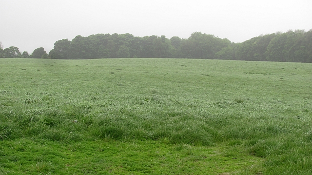
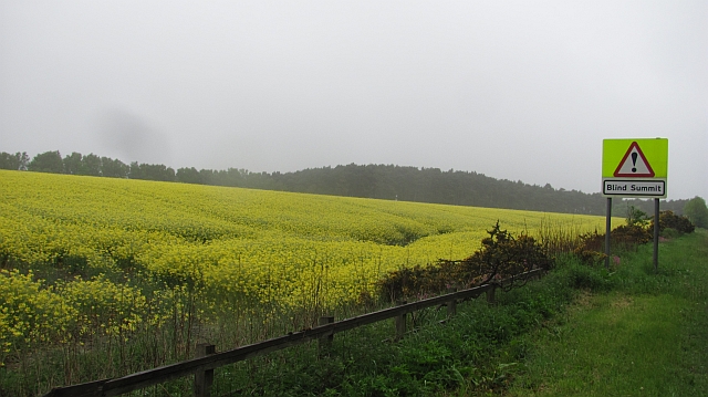
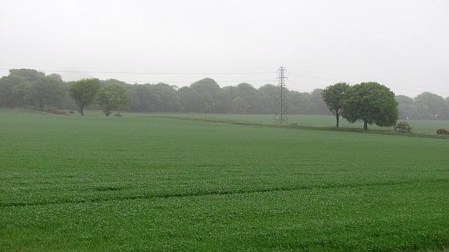
Standingstone Plantation is a historic estate located in Fife, Scotland. Situated amidst lush woodlands and sprawling forests, the plantation encompasses a vast area of natural beauty. The estate is renowned for its picturesque landscape, with towering trees, meandering streams, and rolling hills, making it a popular destination for nature enthusiasts and outdoor enthusiasts.
The plantation has a rich history that dates back centuries. It was originally established as a working farm in the 18th century, and later expanded to include a manor house and formal gardens. The manor house, an elegant Georgian building, stands as a testament to the grandeur of the estate's past.
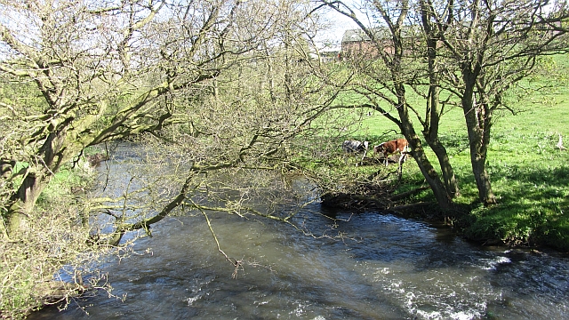
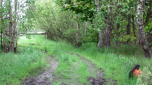
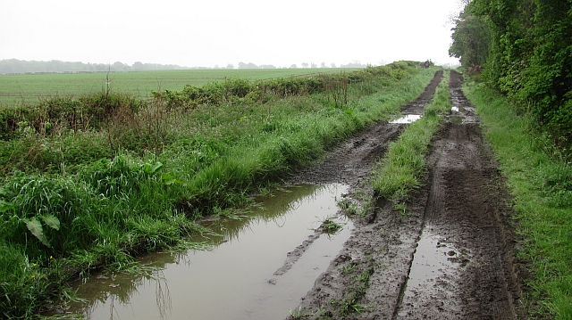
The woodlands surrounding Standingstone Plantation are home to a diverse array of flora and fauna. The forest is predominantly made up of native Scottish species, including oak, birch, and pine trees, which provide a habitat for various birds, mammals, and insects. Visitors can explore the woodland trails, taking in the sights and sounds of the natural world.
Aside from its natural beauty, the plantation also offers a range of recreational activities. There are designated areas for picnics and barbecues, as well as opportunities for hiking, cycling, and horseback riding. Additionally, the estate hosts educational programs and events, allowing visitors to learn about the history and ecology of the area.
Overall, Standingstone Plantation is a captivating destination that combines history, natural beauty, and outdoor activities. Whether it's a leisurely stroll through the woodlands or a day spent exploring the gardens, visitors are sure to be enchanted by the charm and tranquility of this remarkable estate.
If you have any feedback on the listing, please let us know in the comments section below.
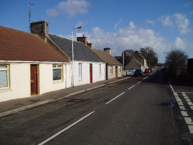
Standingstone Plantation Images
Images are sourced within 2km of 56.167805/-3.087794 or Grid Reference NT3297. Thanks to Geograph Open Source API. All images are credited.


Standingstone Plantation is located at Grid Ref: NT3297 (Lat: 56.167805, Lng: -3.087794)
Unitary Authority: Fife
Police Authority: Fife
What 3 Words
///mend.forgotten.moves. Near East Wemyss, Fife
Nearby Locations
Related Wikis

Wemyss, Fife
Wemyss ( WEEMZ) is a civil parish on the south coast of Fife, Scotland, lying on the Firth of Forth. It is bounded on the north-east by the parish of...

Kirkcaldy (district)
Kirkcaldy (Scottish Gaelic: Dùn Phàrlain, Scots: Dunfaurlin) was a local government district in the Fife region of Scotland from 1975 to 1996. The district...
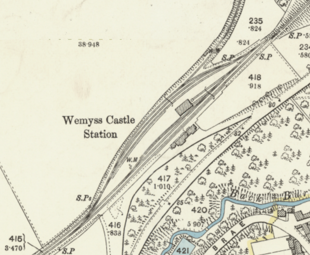
Wemyss Castle railway station
Wemyss Castle railway station served the village of East Wemyss , Fife, Scotland, from 1881 to 1955 on the Wemyss and Buckhaven Railway. == History... ==

West Wemyss railway station
West Wemyss railway station served the village of West Wemyss , Fife, Scotland, from 1881 to 1949 on the Wemyss and Buckhaven Railway. == History == The...
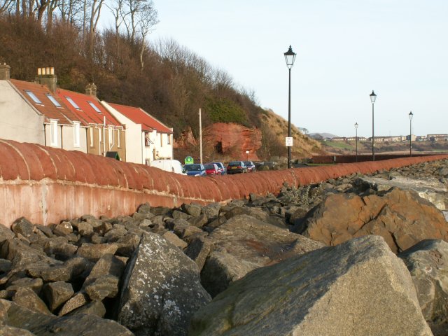
East Wemyss
East Wemyss ( ) is a village situated on the south coast of Fife, Scotland. According to the 2011 census, the village has a population of 1,928. ��2�...
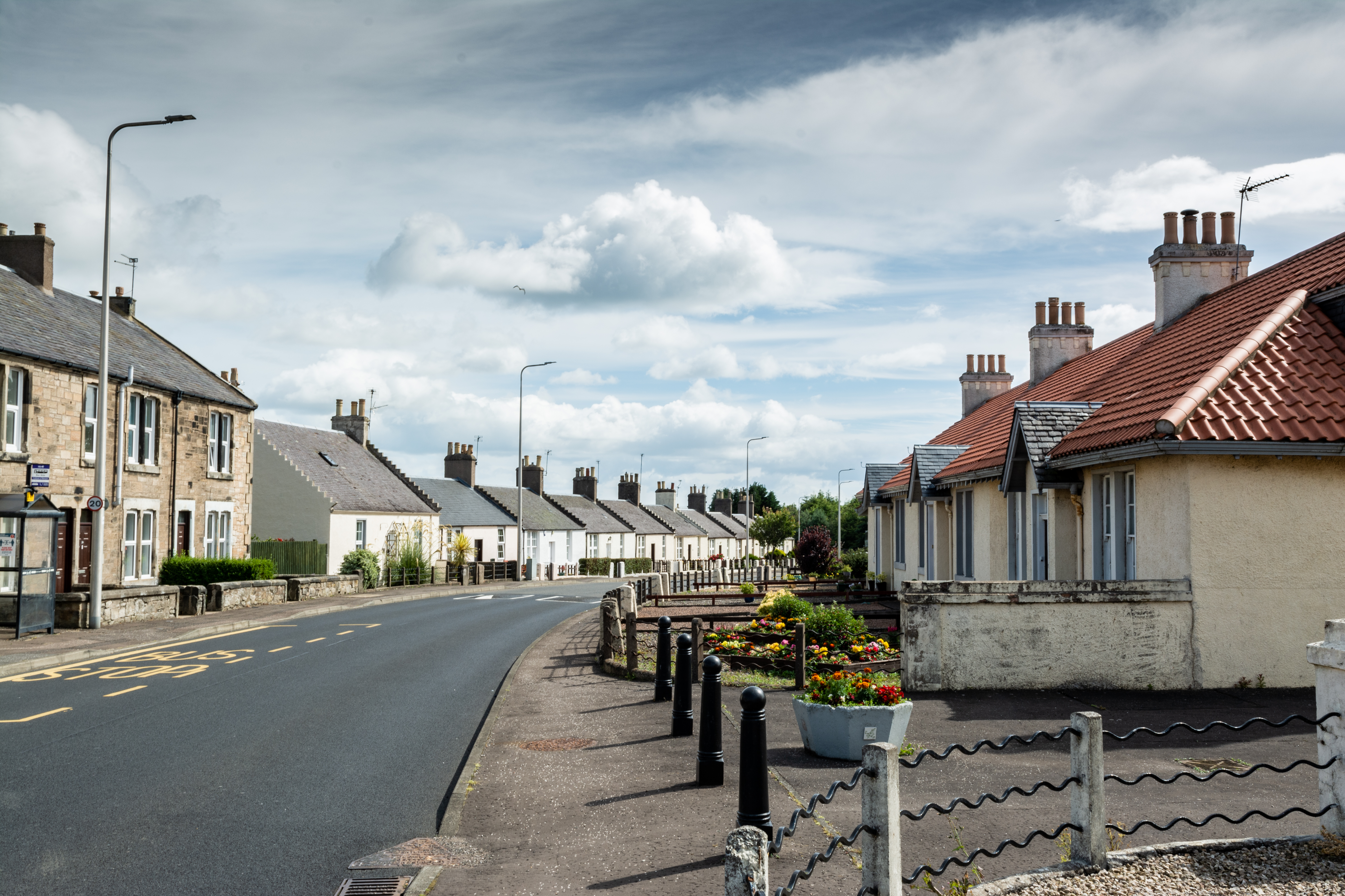
Coaltown of Wemyss
Coaltown of Wemyss () is a village in south-east Fife, Scotland, around 5 km north of Kirkcaldy. The town was built in the 1890s as an estate village on...
Milton of Balgonie
Milton of Balgonie () is a small village in central Fife, Scotland. It is situated 2 miles (3.2 km) east of Glenrothes between the nearby villages of Markinch...
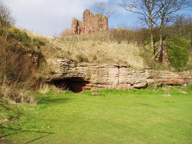
Macduff's Castle
MacDuff's Castle is a ruined castle near East Wemyss, in Fife, Scotland. The site is associated with the MacDuff Earls of Fife, the most powerful family...
Nearby Amenities
Located within 500m of 56.167805,-3.087794Have you been to Standingstone Plantation?
Leave your review of Standingstone Plantation below (or comments, questions and feedback).