High Wood
Wood, Forest in Midlothian
Scotland
High Wood

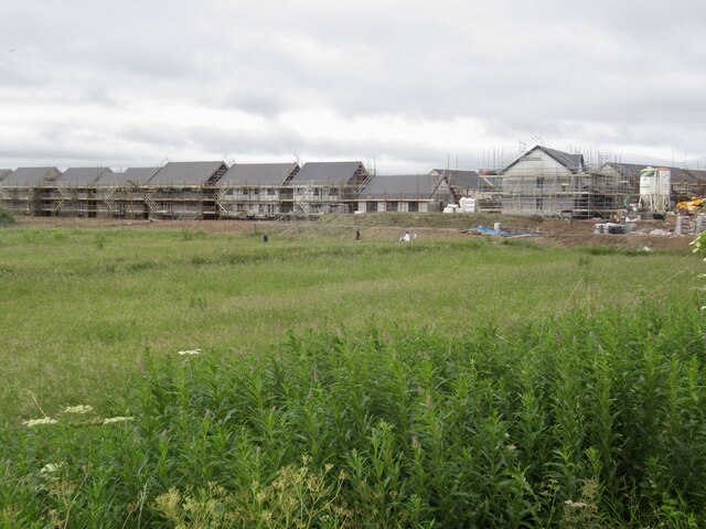
High Wood is a forested area located in Midlothian, Scotland. Situated near the town of Wood, it covers a vast area of approximately 100 hectares. The wood is known for its natural beauty and rich biodiversity, making it a popular destination for nature enthusiasts and hikers alike.
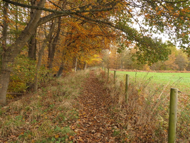
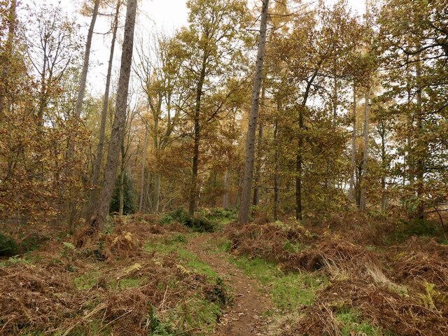
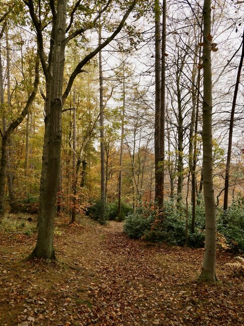
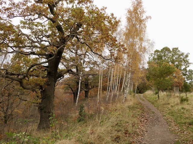
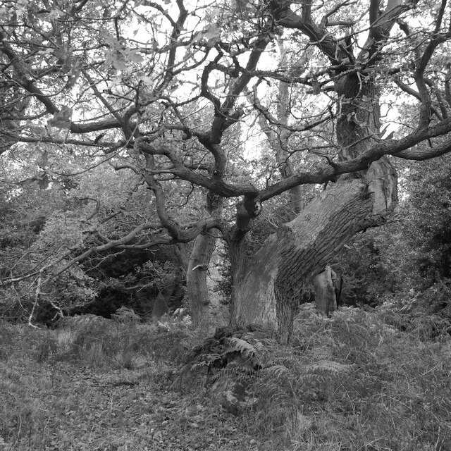
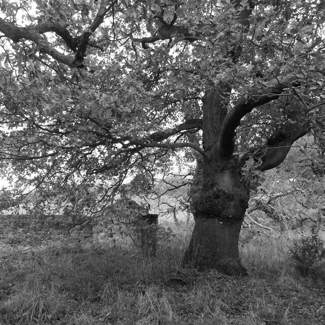
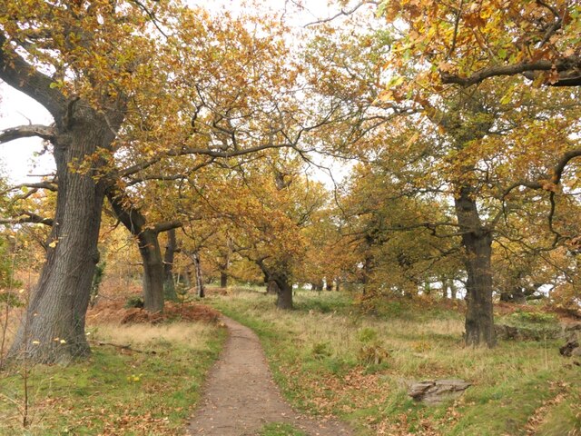
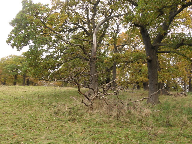
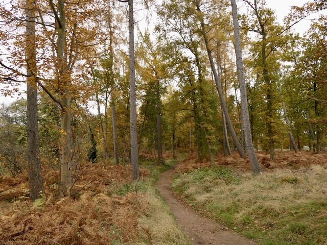
The wood is characterized by its dense vegetation, consisting mainly of native tree species such as oak, beech, and birch. These trees create a thick canopy that provides shade and shelter for a variety of wildlife, including birds, mammals, and insects. The forest floor is covered in a carpet of moss and ferns, adding to the enchanting atmosphere.
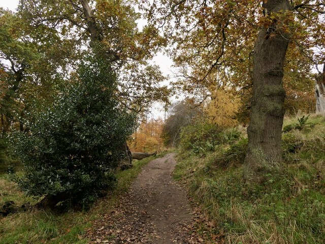
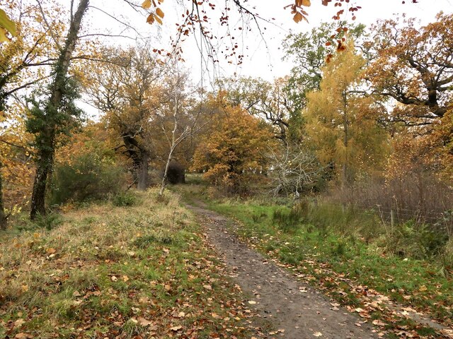
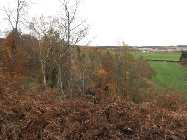
Trails and pathways wind through the wood, allowing visitors to explore and immerse themselves in the peaceful surroundings. These paths are well-maintained and provide access to various viewpoints, offering stunning vistas of the surrounding landscape. Additionally, there are designated picnic areas and benches scattered throughout the wood, providing visitors with opportunities to rest and take in the tranquility of their surroundings.
High Wood has a rich history, with evidence of human activity dating back centuries. Ruins of ancient settlements and burial mounds can be found within the wood, serving as a reminder of the area's historical significance. The wood also played a role during World War II, as it provided hiding places for resistance groups and served as a training ground for soldiers.
Overall, High Wood is a captivating and diverse natural area, offering visitors a chance to connect with nature, explore historical remnants, and enjoy the serenity of the Scottish countryside.
If you have any feedback on the listing, please let us know in the comments section below.
High Wood Images
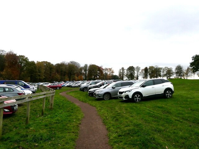
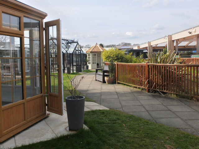
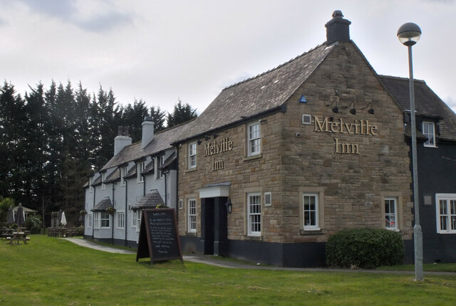
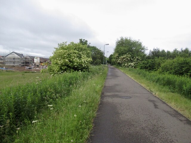
Images are sourced within 2km of 55.893398/-3.0803579 or Grid Reference NT3267. Thanks to Geograph Open Source API. All images are credited.
High Wood is located at Grid Ref: NT3267 (Lat: 55.893398, Lng: -3.0803579)
Unitary Authority: Midlothian
Police Authority: The Lothians and Scottish Borders
What 3 Words
///sobered.laces.yell. Near Dalkeith, Midlothian
Nearby Locations
Related Wikis
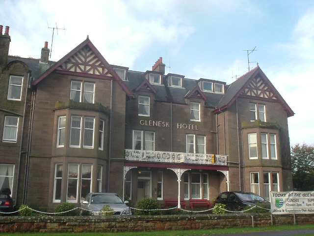
Glenesk railway station
Glenesk railway station served the village of Glenesk, Midothian, Scotland, from 1855 to 1874 on the Dalkeith branch of the Waverley Route. == History... ==

Lasswade Road railway station
Lasswade Road railway station served the village of Lasswade, Midlothian, Scotland from 1843 to 1849 on the Edinburgh and Dalkeith Railway. == History... ==
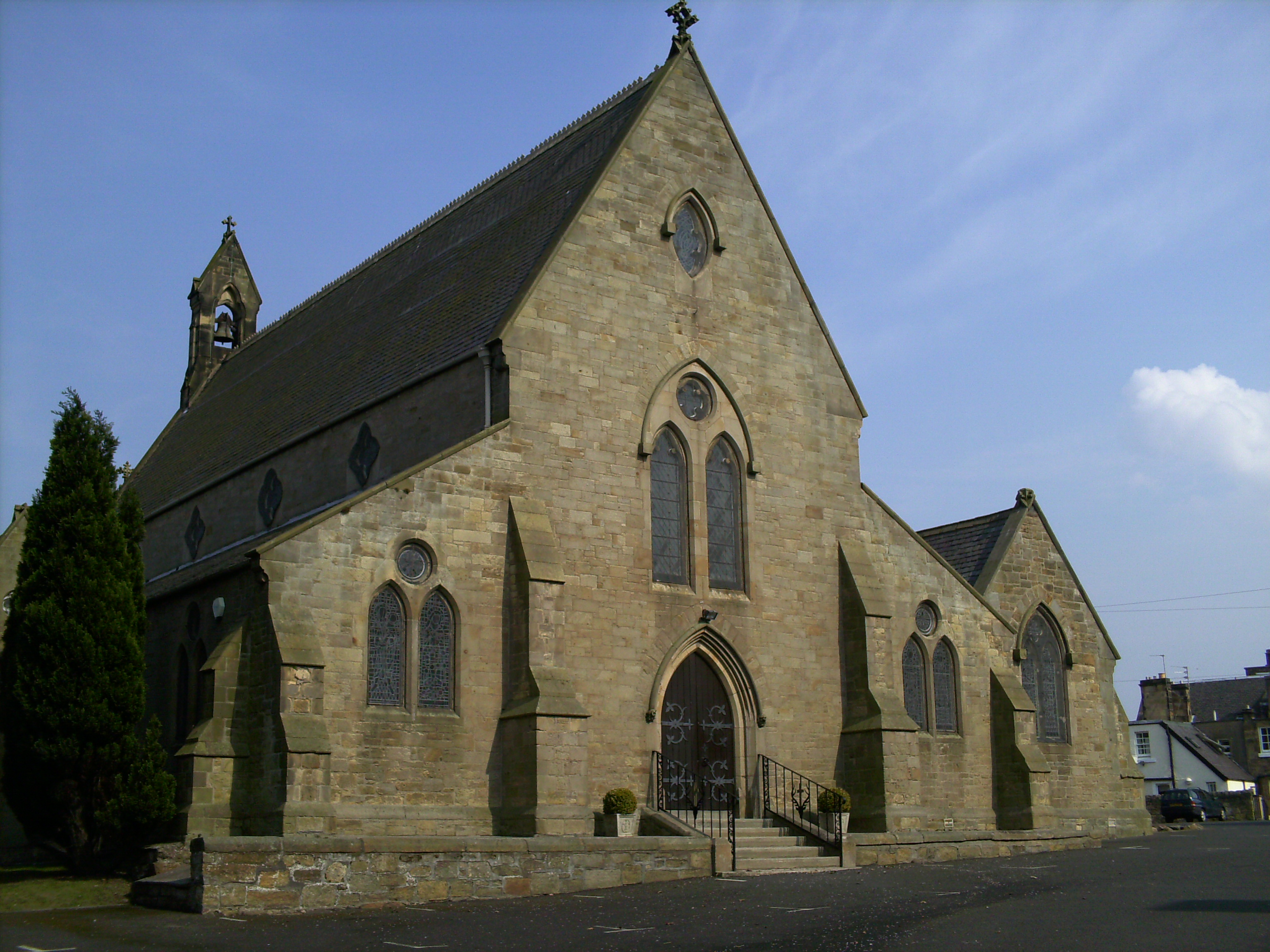
St David's Church, Dalkeith
St David's Church is a Roman Catholic Parish church in Dalkeith, Midlothian. It was founded in 1854 by Cecil Chetwynd Kerr, Marchioness of Lothian. It...

Elginhaugh
Elginhaugh Roman Fort was a Roman fort of the 1st century AD, located in Midlothian, Scotland. Elginhaugh is the most completely excavated timber-built...
Nearby Amenities
Located within 500m of 55.893398,-3.0803579Have you been to High Wood?
Leave your review of High Wood below (or comments, questions and feedback).