Serpentine Wood

Wood, Forest in Fife

Scotland

Serpentine Wood

Geese in a stubble field Geese in a stubble field to the south of the Letham to Bow of Fife road.
Geese in a stubble field Credit: Scott Cormie

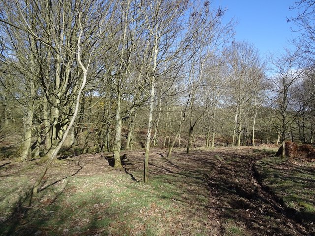
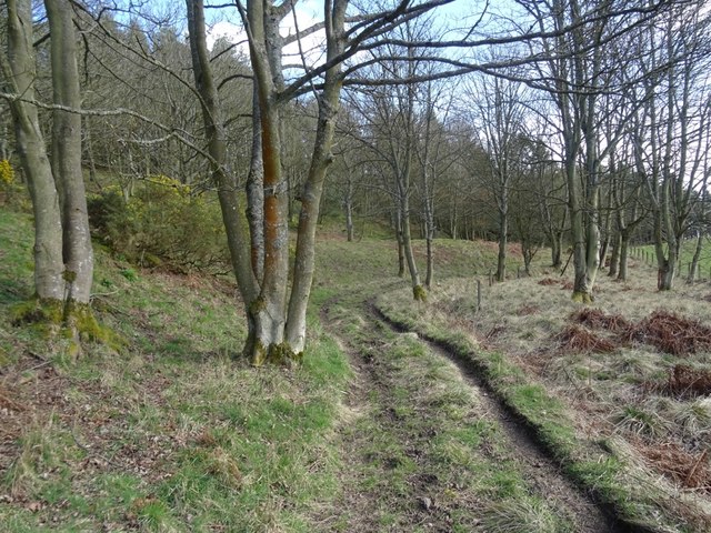
Serpentine Wood is a charming forest located in the region of Fife, Scotland. Spanning over an area of approximately 500 acres, the wood is a haven of natural beauty and tranquility. It is nestled amidst the rolling hills and picturesque landscapes that Fife is renowned for.

The wood gets its name from the serpentine-like path that meanders through the trees, creating a sense of enchantment and wonder for visitors. The dense forest is predominantly composed of native tree species, such as oak, birch, and pine, which provide a diverse habitat for a wide array of flora and fauna.

Walking through Serpentine Wood, one is greeted by a tapestry of vibrant colors throughout the seasons. In spring, the forest floor comes alive with a carpet of bluebells and wildflowers, while autumn paints a kaleidoscope of fiery hues on the leaves. The woodland is also home to a myriad of wildlife, including squirrels, deer, and a variety of bird species, making it a popular spot for birdwatching enthusiasts.

The wood offers a network of well-maintained paths and trails, allowing visitors to explore its hidden treasures at their own pace. Nature lovers can indulge in leisurely walks, picnics, or even venture off the beaten track to discover secret clearings and hidden streams.

Serpentine Wood is a cherished natural gem in Fife, providing a place of solace and rejuvenation for locals and tourists alike. Its serene atmosphere and captivating scenery make it a must-visit destination for those seeking an escape into nature's embrace.

If you have any feedback on the listing, please let us know in the comments section below.

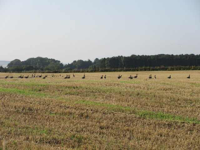
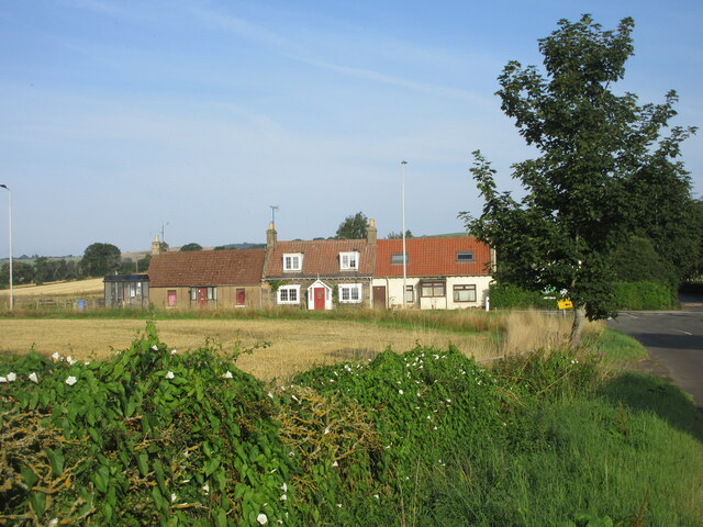
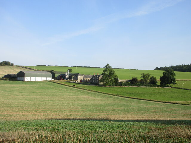
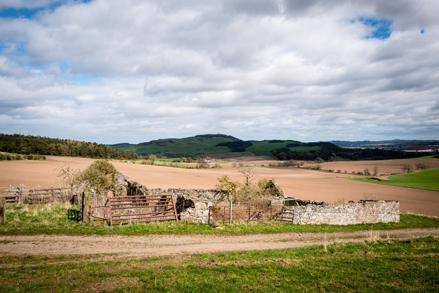
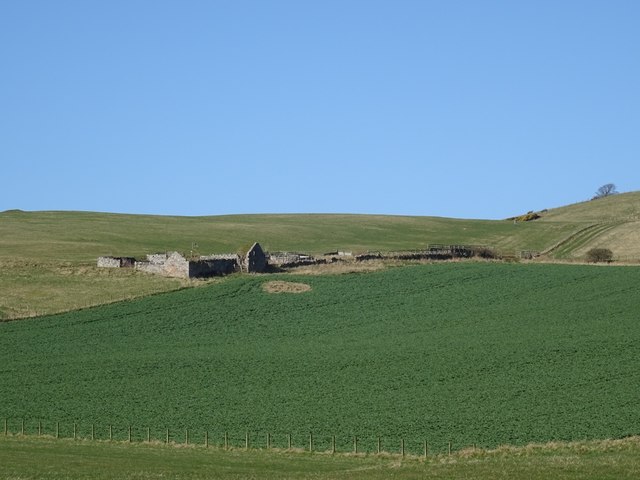
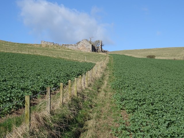
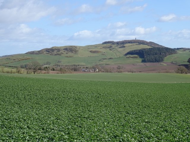
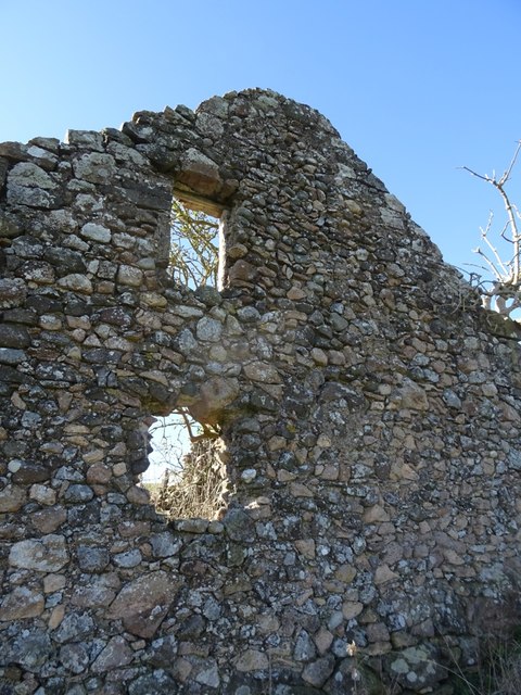
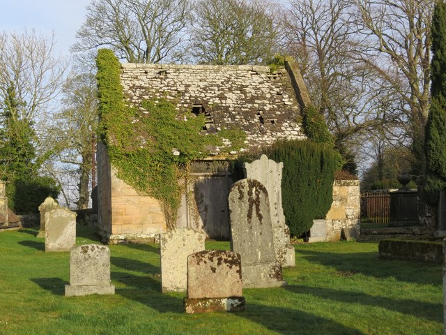
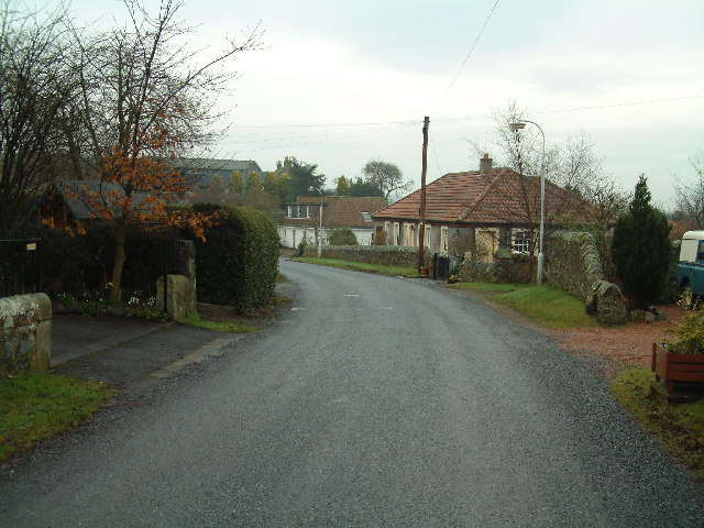
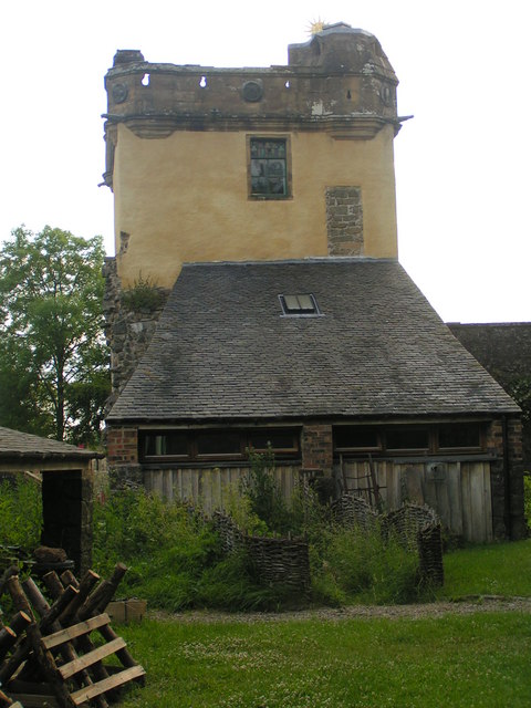
Serpentine Wood Images

Images are sourced within 2km of 56.325672/-3.1118635 or Grid Reference NO3115. Thanks to Geograph Open Source API. All images are credited.

Geese in a stubble field Geese in a stubble field to the south of the Letham to Bow of Fife road.
Geese in a stubble field
Geese in a stubble field to the south of the Letham to Bow of Fife road.
Letham Toll Letham Toll on the A92, viewed from the minor road to the south-east.
Letham Toll
Letham Toll on the A92, viewed from the minor road to the south-east.
Nisbetfield from the south Looking north from Monimail up the hill to Nisbetfield.
Nisbetfield from the south
Looking north from Monimail up the hill to Nisbetfield.
Hopetoun Monument
Hopetoun Monument
Abandoned farm at Gowdie Wonderful views to the south and east, with Hopetown monument just visible on the skyline
Abandoned farm at Gowdie
Wonderful views to the south and east, with Hopetown monument just visible on the skyline
Collairniehill farm ruin
Gowdie A ruined farm above Letham. The grass above is grazed by cattle in the Summer months, the dark green is oilseed rape which had just started its Spring growth spurt.
Gowdie
A ruined farm above Letham. The grass above is grazed by cattle in the Summer months, the dark green is oilseed rape which had just started its Spring growth spurt.
Gowdie A ruined farm above Letham.
Gowdie
A ruined farm above Letham.
Oilseed rape, Gowdie Arable land above Letham with a view towards Mount Hill.
Oilseed rape, Gowdie
Arable land above Letham with a view towards Mount Hill.
Ruin, Gowdie East gable end of the farmhouse. I passed by quickly, it looks like a deep breath is all that is needed to bring it down. The stonework is interesting, undressed stone, probably cleared off the fields. The igneous rock of the Ochil Hills is not far beneath the surface here.
Ruin, Gowdie
East gable end of the farmhouse. I passed by quickly, it looks like a deep breath is all that is needed to bring it down. The stonework is interesting, undressed stone, probably cleared off the fields. The igneous rock of the Ochil Hills is not far beneath the surface here.
Hills behind Letham Over the back from Gowdie overlooking a mixed landscape of arable land, small woods and open grazing with a lot of whins growing, especially on Collairnie Hill, my destination. There is a big clearance cairn in the newly ploughed field. Gorse grows well on basalt uplands, especially where there snow drifts tend to form. The distant hill is Norman's Law and the scenery there is similar to here. They may not be high, but Fife's bit of the Ochils is very rewarding.
Hills behind Letham
Over the back from Gowdie overlooking a mixed landscape of arable land, small woods and open grazing with a lot of whins growing, especially on Collairnie Hill, my destination. There is a big clearance cairn in the newly ploughed field. Gorse grows well on basalt uplands, especially where there snow drifts tend to form. The distant hill is Norman's Law and the scenery there is similar to here. They may not be high, but Fife's bit of the Ochils is very rewarding.
View towards Collairniehill The ruin of Collairniehill lies beneath gorse covered Collairnie Hill. The distant view is past Norman's Law to Craigowl Hill in the Sidlaws, past Dundee.
View towards Collairniehill
The ruin of Collairniehill lies beneath gorse covered Collairnie Hill. The distant view is past Norman's Law to Craigowl Hill in the Sidlaws, past Dundee.
Cunnoquhie West Hill Wood The track runs along the northern and western end of the wood and is very useful for dodging fences and crops. A continuation carries on to the ruins at Gowdie.  There is more woodland on Cunnoquhie West Hill  than currently mapped.
Cunnoquhie West Hill Wood
The track runs along the northern and western end of the wood and is very useful for dodging fences and crops. A continuation carries on to the ruins at Gowdie. There is more woodland on Cunnoquhie West Hill than currently mapped.
Cunnoquhie West Hill Although this hill is not named on the OS map, the woodland east of it is named as Cunnoquhie West Hill Wood (confusingly, and as opposed to Cunnoquhie East Hill Wood). I have therefore chosen to call it Connoquhie West Hill, but am prepared to be corrected!
Cunnoquhie West Hill
Although this hill is not named on the OS map, the woodland east of it is named as Cunnoquhie West Hill Wood (confusingly, and as opposed to Cunnoquhie East Hill Wood). I have therefore chosen to call it Connoquhie West Hill, but am prepared to be corrected!
Collairniehill A ruin beneath Collairnie Hill in an area of extensive whin growth.
Collairniehill
A ruin beneath Collairnie Hill in an area of extensive whin growth.
Byre, Collairniehill Ruined farm in the Fife Ochil Hills.
Byre, Collairniehill
Ruined farm in the Fife Ochil Hills.
Cunnoquhie West Hill Wood A track runs along the western side of the woodland.
Cunnoquhie West Hill Wood
A track runs along the western side of the woodland.
Monimail Old Cemetery, Fife
Show me another place!

Serpentine Wood is located at Grid Ref: NO3115 (Lat: 56.325672, Lng: -3.1118635)

Unitary Authority: Fife

Police Authority: Fife

What 3 Words

///tortoises.devoured.often. Near Ladybank, Fife

Related Wikis

Fernie Castle

Fernie Castle is an enlarged sixteenth-century tower house in north-east Fife, Scotland. Originally built in an L-plan layout, it was later extended to...

Secret Garden (outdoor nursery)

The Secret Garden is an outdoor nursery school in Letham, Fife, Scotland, for children aged 3–7 years. It is a forest kindergarten in which children walk...

Letham, Fife

Letham is a small village in Fife, Scotland, located just off the A92, around 5 miles from Cupar. According to the 2001 Census, Letham has 138 residents...

Collairnie Castle

Collairnie Castle is an L-plan castle in Dunbog, Fife, Scotland. The castle was extended in the 16th century, with a wing added of 4 storeys with an attic...

Palace of Monimail

The Palace of Monimail, also known as Monimail Tower, was a Renaissance palace in Fife, Scotland. A residence of the Archbishops of St Andrews from the...

Mount Hill

Mount Hill rises from the rolling farmland about three miles north west of Cupar in North East Fife, Scotland. On its summit stands the 29-metre (95 ft...

Melville House

Melville House is a 1697 house that lies to the south side of the Palace of Monimail near Collessie in Fife, Scotland. It has been a school and a training...

Parbroath Castle

Parbroath Castle is a ruined castle which was the former seat of Clan Seton near Parbroath farm, Creich, Fife, Scotland. Only a portion of a vault standing...

Nearby Amenities

Located within 500m of 56.325672,-3.1118635
Power: pole
Lat/Long: 56.3216943/-3.1155068
Power: pole
Lat/Long: 56.3221829/-3.1157281
Power: pole
Lat/Long: 56.323191/-3.1163031
Power: pole
Lat/Long: 56.3237324/-3.1165472
Power: pole
Lat/Long: 56.3242462/-3.1167685
Power: pole
Lat/Long: 56.3247978/-3.1171491
Power: pole
Lat/Long: 56.3253919/-3.1177903
Power: pole
Lat/Long: 56.3261258/-3.1184459
Power: pole
Lat/Long: 56.3268495/-3.1191285
The data included in this document is from www.openstreetmap.org. The data is made available under ODbL.

Have you been to Serpentine Wood?

Leave your review of Serpentine Wood below (or comments, questions and feedback).