Canal Plantation

Wood, Forest in Fife

Scotland

Canal Plantation

Looking towards Tay Estuary at Fliskmillan
Looking towards Tay Estuary at Fliskmillan Credit: Becky Williamson

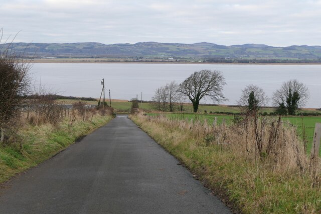
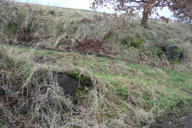
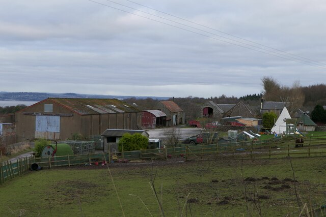
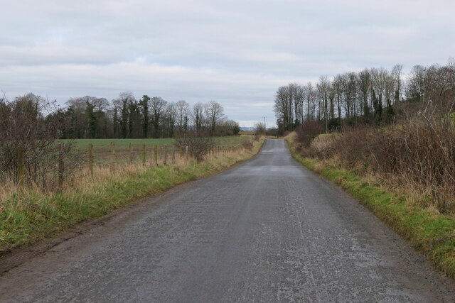
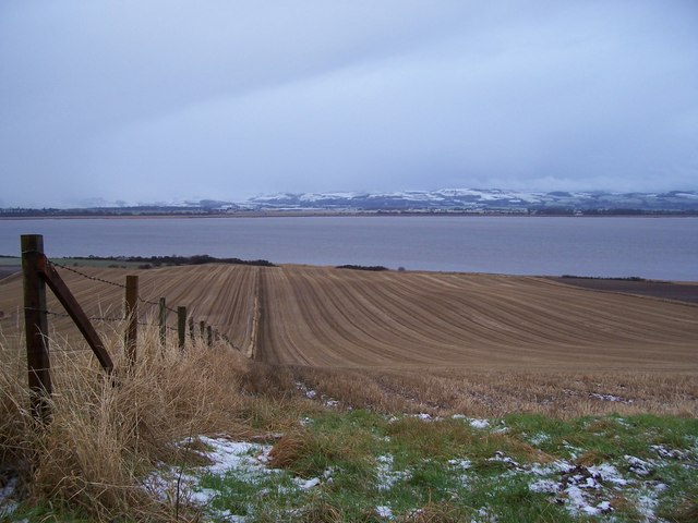
Canal Plantation is a charming woodland area situated in Fife, Scotland. Spanning over a vast expanse of land, this plantation is renowned for its lush greenery and diverse range of tree species. Nestled alongside a picturesque canal, it offers a serene and tranquil environment for visitors to immerse themselves in nature.

The plantation is home to a variety of native and non-native trees, including oak, beech, birch, and spruce, which create a rich and vibrant tapestry of colors throughout the year. The dense foliage provides a haven for an array of wildlife, making it a popular spot for birdwatchers and nature enthusiasts. Visitors can expect to catch glimpses of robins, blackbirds, and woodpeckers, among many others.

A network of well-maintained trails winds its way through the plantation, allowing visitors to explore the area at their own pace. These paths provide opportunities for leisurely walks, cycling, and even horse riding. As visitors traverse the woodland, they will be treated to breathtaking views of the surrounding countryside, with the canal providing a picturesque backdrop.

Canal Plantation is not only a haven for nature lovers but also a valuable resource for the local community. The woodland serves as a carbon sink, helping to combat climate change and improve air quality. It also offers educational opportunities for schools and organizations interested in learning about forestry and conservation.

Overall, Canal Plantation in Fife is a stunning woodland area that offers a tranquil escape from the bustling city life. With its diverse range of trees, abundant wildlife, and well-maintained trails, it provides a perfect setting for relaxation, exploration, and appreciation of Scotland's natural beauty.

If you have any feedback on the listing, please let us know in the comments section below.

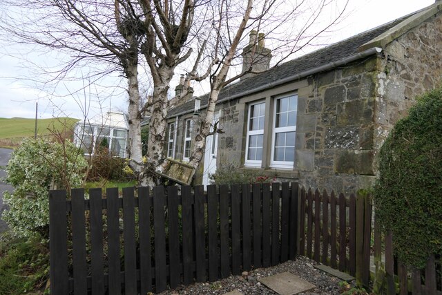
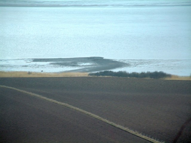
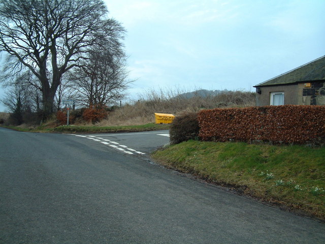
Canal Plantation Images

Images are sourced within 2km of 56.384939/-3.1145294 or Grid Reference NO3121. Thanks to Geograph Open Source API. All images are credited.

Looking towards Tay Estuary at Fliskmillan
Well at West Flisk There is an Ordnance Survey benchmark on the right hand side of this former well. See also <a href="https://www.geograph.org.uk/photo/7687230">NO3122 : Benchmark on well at West Flisk</a>.
Well at West Flisk
There is an Ordnance Survey benchmark on the right hand side of this former well. See also NO3122 : Benchmark on well at West Flisk.
Benchmark on well at West Flisk Ordnance Survey benchmark. For database entry, see <span class="nowrap"><a title="https://www.bench-marks.org.uk/bm211339" rel="nofollow ugc noopener" href="https://www.bench-marks.org.uk/bm211339">Link</a><img style="margin-left:2px;" alt="External link" title="External link - shift click to open in new window" src="https://s1.geograph.org.uk/img/external.png" width="10" height="10"/></span>.  See also <a href="https://www.geograph.org.uk/photo/7687227">NO3122 : Well at West Flisk</a>.
Benchmark on well at West Flisk
Ordnance Survey benchmark. For database entry, see LinkExternal link. See also NO3122 : Well at West Flisk.
Benchmark, Carseview Cottage, Flisk Ordnance Survey benchmark.  For database entry, see <span class="nowrap"><a title="https://www.bench-marks.org.uk/bm211337" rel="nofollow ugc noopener" href="https://www.bench-marks.org.uk/bm211337">Link</a><img style="margin-left:2px;" alt="External link" title="External link - shift click to open in new window" src="https://s1.geograph.org.uk/img/external.png" width="10" height="10"/></span>.  See also <a href="https://www.geograph.org.uk/photo/7687279">NO3021 : Carseview Cottage, Flisk</a>.
Benchmark, Carseview Cottage, Flisk
Ordnance Survey benchmark. For database entry, see LinkExternal link. See also NO3021 : Carseview Cottage, Flisk.
Benchmark location, East Flisk This benchmark took quite a bit of finding.  We covered it back up as best we could once we had photographed it.  The original stone has been dislodged and the benchmark is lying on its side.
Benchmark location, East Flisk
This benchmark took quite a bit of finding. We covered it back up as best we could once we had photographed it. The original stone has been dislodged and the benchmark is lying on its side.
Fliskmillan House There is an Ordnance Survey benchmark on the  left-hand side of this building. See <a href="https://www.geograph.org.uk/photo/7687274">NO3021 : Benchmark, Fliskmillan House</a>.
Fliskmillan House
There is an Ordnance Survey benchmark on the left-hand side of this building. See NO3021 : Benchmark, Fliskmillan House.
Balhelvie Cottage There is an Ordnance Survey benchmark on this cottage, just above fence line to the right of the drainpipe in this photo. See also <a href="https://www.geograph.org.uk/photo/7687265">NO3021 : Benchmark, Balhelvie Cottages</a>.
Balhelvie Cottage
There is an Ordnance Survey benchmark on this cottage, just above fence line to the right of the drainpipe in this photo. See also NO3021 : Benchmark, Balhelvie Cottages.
West Flisk
West Flisk
East Flisk Farm On south side of River Tay.
East Flisk Farm
On south side of River Tay.
Ordnance Survey benchmark on fallen stone, East Flisk Described on database at <span class="nowrap"><a title="https://www.bench-marks.org.uk/bm211340" rel="nofollow ugc noopener" href="https://www.bench-marks.org.uk/bm211340">Link</a><img style="margin-left:2px;" alt="External link" title="External link - shift click to open in new window" src="https://s1.geograph.org.uk/img/external.png" width="10" height="10"/></span>.  See also <a href="https://www.geograph.org.uk/photo/7687235">NO3222 : Benchmark location, East Flisk</a>.
Ordnance Survey benchmark on fallen stone, East Flisk
Described on database at LinkExternal link. See also NO3222 : Benchmark location, East Flisk.
Benchmark, Balhelvie Cottages Ordnance Survey benchmark, described on database at <span class="nowrap"><a title="https://www.bench-marks.org.uk/bm211338" rel="nofollow ugc noopener" href="https://www.bench-marks.org.uk/bm211338">Link</a><img style="margin-left:2px;" alt="External link" title="External link - shift click to open in new window" src="https://s1.geograph.org.uk/img/external.png" width="10" height="10"/></span>.  See also <a href="https://www.geograph.org.uk/photo/7687247">NO3021 : Balhelvie Cottage</a>.
Benchmark, Balhelvie Cottages
Ordnance Survey benchmark, described on database at LinkExternal link. See also NO3021 : Balhelvie Cottage.
Road leading north-east from Balhelvie
Benchmark, Fliskmillan House Ordnance Survey benchmark, described on database at <span class="nowrap"><a title="https://www.bench-marks.org.uk/bm211336" rel="nofollow ugc noopener" href="https://www.bench-marks.org.uk/bm211336">Link</a><img style="margin-left:2px;" alt="External link" title="External link - shift click to open in new window" src="https://s1.geograph.org.uk/img/external.png" width="10" height="10"/></span>.  See also <a href="https://www.geograph.org.uk/photo/7687243">NO3021 : Fliskmillan House</a>.
Benchmark, Fliskmillan House
Ordnance Survey benchmark, described on database at LinkExternal link. See also NO3021 : Fliskmillan House.
Cottages at Flisk There is an Ordnance Survey benchmark on the nearest cottage.
Cottages at Flisk
There is an Ordnance Survey benchmark on the nearest cottage.
Carseview Cottage, Flisk There is an Ordnance Survey benchmark on this building.
Carseview Cottage, Flisk
There is an Ordnance Survey benchmark on this building.
Durward's Scalp A bank of shingle on the Fife shore of the Firth of Tay with an unusual name
Durward's Scalp
A bank of shingle on the Fife shore of the Firth of Tay with an unusual name
Flisk road junction The road to the right heads south towards Fliskmillan Hill
Flisk road junction
The road to the right heads south towards Fliskmillan Hill
North Fife Fields By The Tay Looking down a fence line in a stubble field towards the Tay and the Perthshire hills in early January.
North Fife Fields By The Tay
Looking down a fence line in a stubble field towards the Tay and the Perthshire hills in early January.
Show me another place!

Canal Plantation is located at Grid Ref: NO3121 (Lat: 56.384939, Lng: -3.1145294)

Unitary Authority: Fife

Police Authority: Fife

What 3 Words

///mammoths.rival.knocking. Near Errol, Perth & Kinross
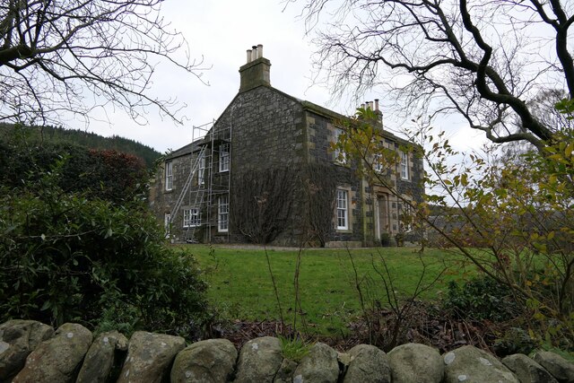
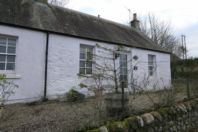
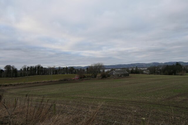
Related Wikis

Flisk

Flisk (Scottish Gaelic: Fleasg meaning "Stalk" or "Rod") was a parish in Fife, Scotland. According to the 1853 Gazetteer, in part: "Flisk parish is bounded...

Creich, Fife

Creich (Scottish Gaelic: Craoich, pronounced [kʰɾɯːç]; OS: Criech), is a hamlet in Fife, Scotland.The local parish is named after Creich. The ruins of...

Norman's Law

Norman's Law is a prominent hill at the far eastern end of the Ochil Fault, Scotland. It sits above the south bank of the River Tay, around four miles...

Birkhill Castle

Birkhill Castle is a stately home, the residence of the Earl of Dundee, located on the banks of the River Tay, a short drive from St. Andrews. The castle...

Inner Tay Estuary

The Inner Tay Estuary is the inner, western part of the Firth of Tay, from the Tay Railway Bridge in the east to the Queen's Bridge over the River Tay...

Luthrie

Luthrie is a village in the parish of Creich in Fife, Scotland. A small stream shown on maps as Windygates Burn (but known locally as Luthrie Burn) flows...

Luthrie railway station

Luthrie railway station served the village of Luthrie, Fife, Scotland from 1909 to 1951 on the Newburgh and North Fife Railway. == History == The station...

Parbroath Castle

Parbroath Castle is a ruined castle which was the former seat of Clan Seton near Parbroath farm, Creich, Fife, Scotland. Only a portion of a vault standing...

Nearby Amenities

Located within 500m of 56.384939,-3.1145294
Material: wood
Power: pole
Lat/Long: 56.3858211/-3.1149513
Material: wood
Power: pole
Lat/Long: 56.3825453/-3.1202191
Material: wood
Power: pole
Lat/Long: 56.3831185/-3.1193286
Material: wood
Power: pole
Lat/Long: 56.3836412/-3.1184757
Material: wood
Power: pole
Lat/Long: 56.3842293/-3.1175476
Material: wood
Power: pole
Lat/Long: 56.385239/-3.1158793
Material: wood
Power: pole
Lat/Long: 56.3847074/-3.1167162
Material: wood
Power: pole
Lat/Long: 56.3867179/-3.1134331
Material: wood
Power: pole
Lat/Long: 56.3870342/-3.1123897
Material: wood
Power: pole
Lat/Long: 56.387496/-3.1101501
Material: wood
Power: pole
Lat/Long: 56.3876504/-3.108986
Power: pole
Lat/Long: 56.3829898/-3.1217201
Power: pole
Lat/Long: 56.383181/-3.1213499
Power: pole
Lat/Long: 56.3832886/-3.1211658
Power: pole
Lat/Long: 56.3830115/-3.1210313
Power: pole
Lat/Long: 56.3889015/-3.1120899
Power: pole
Lat/Long: 56.3884756/-3.1118893
Power: pole
Lat/Long: 56.3880669/-3.1116949
Power: pole
Lat/Long: 56.3876627/-3.1114942
Power: pole
Lat/Long: 56.3873627/-3.1113412
Power: pole
Lat/Long: 56.3870158/-3.111184
The data included in this document is from www.openstreetmap.org. The data is made available under ODbL.

Have you been to Canal Plantation?

Leave your review of Canal Plantation below (or comments, questions and feedback).