Craigsimmie

Hill, Mountain in Fife

Scotland

Craigsimmie

Looking towards Tay Estuary at Fliskmillan
Looking towards Tay Estuary at Fliskmillan Credit: Becky Williamson

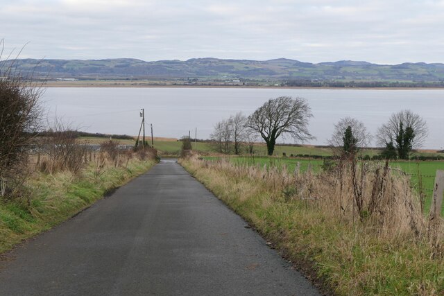
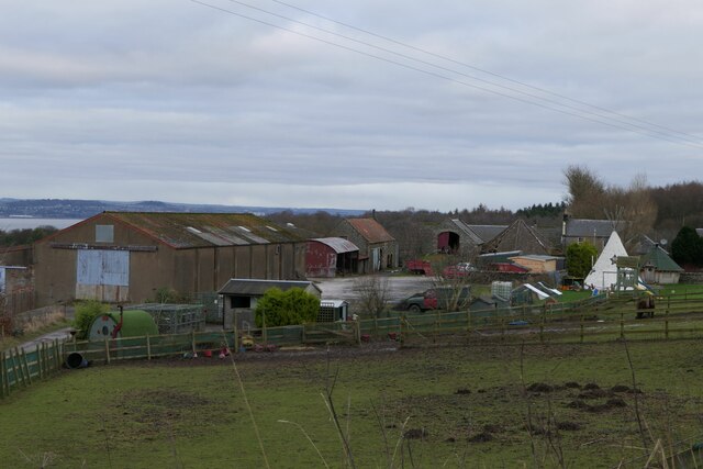
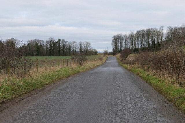
Craigsimmie is a small hill located in the county of Fife, Scotland. Situated near the town of Auchtermuchty, it forms part of the picturesque Lomond Hills range. With an elevation of approximately 292 meters (958 feet), Craigsimmie offers stunning panoramic views of the surrounding countryside.

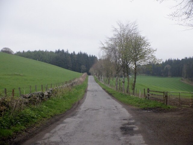
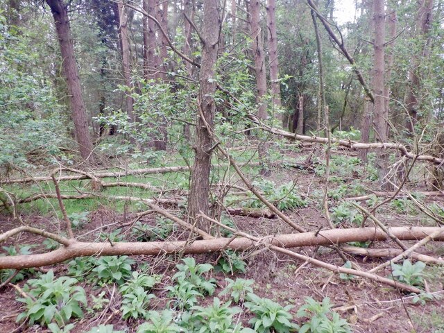
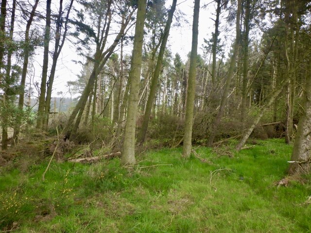
The hill is known for its gentle slopes covered in lush green vegetation, making it a popular spot for hikers and nature enthusiasts. Walking trails wind their way up the hill, allowing visitors to explore its diverse flora and fauna. The hill is also home to a variety of bird species, making it a great destination for birdwatchers.

At the summit of Craigsimmie, there is a cairn (a pile of stones) that marks the peak. It is a great spot for taking in the breathtaking views of the rolling hills and farmland of Fife. On clear days, it is even possible to see as far as the coast of the North Sea.

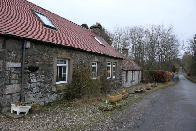
Craigsimmie is easily accessible by car or on foot, with parking available at the base of the hill. The surrounding area is rich in history, with nearby sites including the 16th-century Falkland Palace and the picturesque village of Falkland.

Overall, Craigsimmie is a tranquil and scenic hill in Fife, offering visitors a chance to immerse themselves in nature and enjoy the beauty of the Scottish countryside.

If you have any feedback on the listing, please let us know in the comments section below.
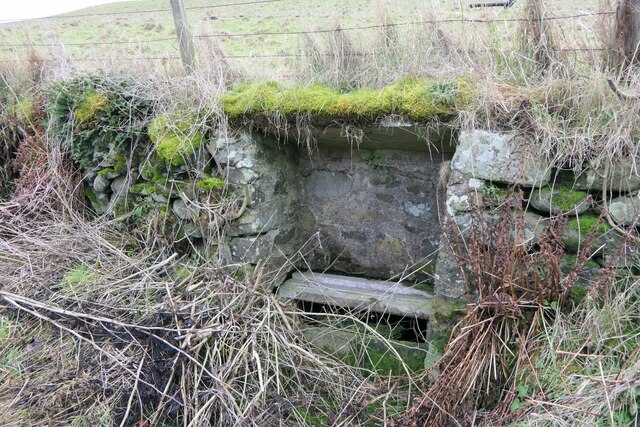
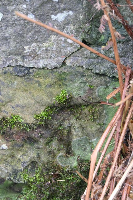
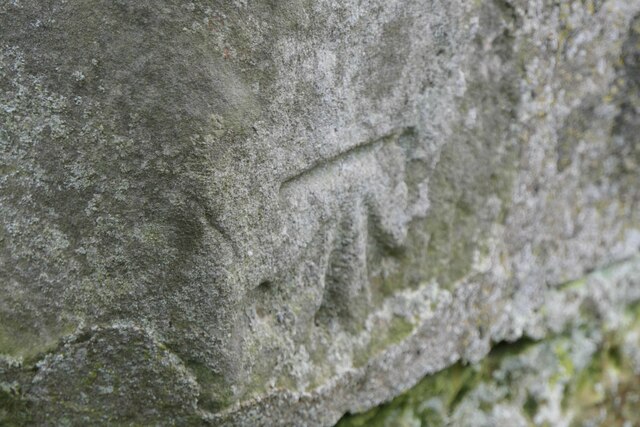
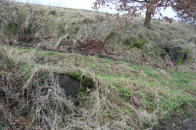
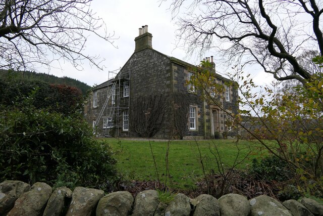
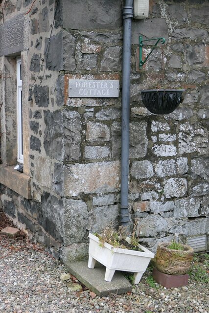
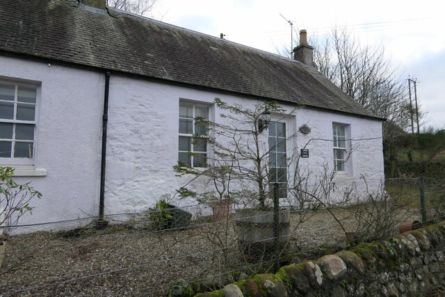
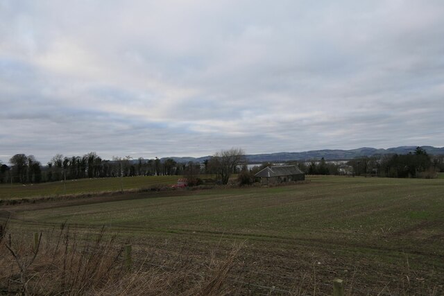
Craigsimmie Images

Images are sourced within 2km of 56.378532/-3.1045778 or Grid Reference NO3121. Thanks to Geograph Open Source API. All images are credited.

Looking towards Tay Estuary at Fliskmillan
Road by Creich Inexplicably part of the Fife Coast Path.
Road by Creich
Inexplicably part of the Fife Coast Path.
Summit area, Starr Law
Windthrow A strip wood on the slopes of Starr Law.
Windthrow
A strip wood on the slopes of Starr Law.
Well at West Flisk There is an Ordnance Survey benchmark on the right hand side of this former well. See also <a href="https://www.geograph.org.uk/photo/7687230">NO3122 : Benchmark on well at West Flisk</a>.
Well at West Flisk
There is an Ordnance Survey benchmark on the right hand side of this former well. See also NO3122 : Benchmark on well at West Flisk.
Benchmark on well at West Flisk Ordnance Survey benchmark. For database entry, see <span class="nowrap"><a title="https://www.bench-marks.org.uk/bm211339" rel="nofollow ugc noopener" href="https://www.bench-marks.org.uk/bm211339">Link</a><img style="margin-left:2px;" alt="External link" title="External link - shift click to open in new window" src="https://s1.geograph.org.uk/img/external.png" width="10" height="10"/></span>.  See also <a href="https://www.geograph.org.uk/photo/7687227">NO3122 : Well at West Flisk</a>.
Benchmark on well at West Flisk
Ordnance Survey benchmark. For database entry, see LinkExternal link. See also NO3122 : Well at West Flisk.
Benchmark, Carseview Cottage, Flisk Ordnance Survey benchmark.  For database entry, see <span class="nowrap"><a title="https://www.bench-marks.org.uk/bm211337" rel="nofollow ugc noopener" href="https://www.bench-marks.org.uk/bm211337">Link</a><img style="margin-left:2px;" alt="External link" title="External link - shift click to open in new window" src="https://s1.geograph.org.uk/img/external.png" width="10" height="10"/></span>.  See also <a href="https://www.geograph.org.uk/photo/7687279">NO3021 : Carseview Cottage, Flisk</a>.
Benchmark, Carseview Cottage, Flisk
Ordnance Survey benchmark. For database entry, see LinkExternal link. See also NO3021 : Carseview Cottage, Flisk.
Benchmark location, East Flisk This benchmark took quite a bit of finding.  We covered it back up as best we could once we had photographed it.  The original stone has been dislodged and the benchmark is lying on its side.
Benchmark location, East Flisk
This benchmark took quite a bit of finding. We covered it back up as best we could once we had photographed it. The original stone has been dislodged and the benchmark is lying on its side.
Fliskmillan House There is an Ordnance Survey benchmark on the  left-hand side of this building. See <a href="https://www.geograph.org.uk/photo/7687274">NO3021 : Benchmark, Fliskmillan House</a>.
Fliskmillan House
There is an Ordnance Survey benchmark on the left-hand side of this building. See NO3021 : Benchmark, Fliskmillan House.
Forester's Cottage sign There is an Ordnance Survey benchmark just visible on photo on large stone between house sign and plant pot.
Forester's Cottage sign
There is an Ordnance Survey benchmark just visible on photo on large stone between house sign and plant pot.
Balhelvie Cottage There is an Ordnance Survey benchmark on this cottage, just above fence line to the right of the drainpipe in this photo. See also <a href="https://www.geograph.org.uk/photo/7687265">NO3021 : Benchmark, Balhelvie Cottages</a>.
Balhelvie Cottage
There is an Ordnance Survey benchmark on this cottage, just above fence line to the right of the drainpipe in this photo. See also NO3021 : Benchmark, Balhelvie Cottages.
West Flisk
West Flisk
East Flisk Farm On south side of River Tay.
East Flisk Farm
On south side of River Tay.
Benchmark on Forester's Cottage, Hazelton Walls Ordnance Survey benchmark, described on database at <span class="nowrap"><a title="https://www.bench-marks.org.uk/bm37777" rel="nofollow ugc noopener" href="https://www.bench-marks.org.uk/bm37777">Link</a><img style="margin-left:2px;" alt="External link" title="External link - shift click to open in new window" src="https://s1.geograph.org.uk/img/external.png" width="10" height="10"/></span>.
Benchmark on Forester's Cottage, Hazelton Walls
Ordnance Survey benchmark, described on database at LinkExternal link.
Ordnance Survey benchmark on fallen stone, East Flisk Described on database at <span class="nowrap"><a title="https://www.bench-marks.org.uk/bm211340" rel="nofollow ugc noopener" href="https://www.bench-marks.org.uk/bm211340">Link</a><img style="margin-left:2px;" alt="External link" title="External link - shift click to open in new window" src="https://s1.geograph.org.uk/img/external.png" width="10" height="10"/></span>.  See also <a href="https://www.geograph.org.uk/photo/7687235">NO3222 : Benchmark location, East Flisk</a>.
Ordnance Survey benchmark on fallen stone, East Flisk
Described on database at LinkExternal link. See also NO3222 : Benchmark location, East Flisk.
Benchmark, Balhelvie Cottages Ordnance Survey benchmark, described on database at <span class="nowrap"><a title="https://www.bench-marks.org.uk/bm211338" rel="nofollow ugc noopener" href="https://www.bench-marks.org.uk/bm211338">Link</a><img style="margin-left:2px;" alt="External link" title="External link - shift click to open in new window" src="https://s1.geograph.org.uk/img/external.png" width="10" height="10"/></span>.  See also <a href="https://www.geograph.org.uk/photo/7687247">NO3021 : Balhelvie Cottage</a>.
Benchmark, Balhelvie Cottages
Ordnance Survey benchmark, described on database at LinkExternal link. See also NO3021 : Balhelvie Cottage.
Road leading north-east from Balhelvie
Forester's Cottage, Hazelton Walls There is an Ordnance Survey benchmark on this cottage. See <a href="https://www.geograph.org.uk/photo/7687257">NO3321 : Benchmark on Forester's Cottage, Hazelton Walls</a>.
Forester's Cottage, Hazelton Walls
There is an Ordnance Survey benchmark on this cottage. See NO3321 : Benchmark on Forester's Cottage, Hazelton Walls.
Show me another place!

Craigsimmie is located at Grid Ref: NO3121 (Lat: 56.378532, Lng: -3.1045778)

Unitary Authority: Fife

Police Authority: Fife

What 3 Words

///skippers.soonest.boat. Near Errol, Perth & Kinross

Related Wikis

Creich, Fife

Creich (Scottish Gaelic: Craoich, pronounced [kʰɾɯːç]; OS: Criech), is a hamlet in Fife, Scotland.The local parish is named after Creich. The ruins of...

Flisk

Flisk (Scottish Gaelic: Fleasg meaning "Stalk" or "Rod") was a parish in Fife, Scotland. According to the 1853 Gazetteer, in part: "Flisk parish is bounded...

Norman's Law

Norman's Law is a prominent hill at the far eastern end of the Ochil Fault, Scotland. It sits above the south bank of the River Tay, around four miles...

Luthrie

Luthrie is a village in the parish of Creich in Fife, Scotland. A small stream shown on maps as Windygates Burn (but known locally as Luthrie Burn) flows...

Birkhill Castle

Birkhill Castle is a stately home, the residence of the Earl of Dundee, located on the banks of the River Tay, a short drive from St. Andrews. The castle...

Luthrie railway station

Luthrie railway station served the village of Luthrie, Fife, Scotland from 1909 to 1951 on the Newburgh and North Fife Railway. == History == The station...

Parbroath Castle

Parbroath Castle is a ruined castle which was the former seat of Clan Seton near Parbroath farm, Creich, Fife, Scotland. Only a portion of a vault standing...

Inner Tay Estuary

The Inner Tay Estuary is the inner, western part of the Firth of Tay, from the Tay Railway Bridge in the east to the Queen's Bridge over the River Tay...

Nearby Amenities

Located within 500m of 56.378532,-3.1045778
Craigsimmie
Ele: 161
Natural: peak
Source: npe
Lat/Long: 56.3789595/-3.1049511
Green Craig
Ele: 190
Natural: peak
Lat/Long: 56.3811645/-3.0979889
Power: pole
Lat/Long: 56.3768274/-3.1119203
Power: pole
Lat/Long: 56.3768893/-3.1108386
Power: pole
Lat/Long: 56.3770565/-3.1097134
Power: pole
Lat/Long: 56.3772363/-3.1085531
Power: pole
Lat/Long: 56.3774115/-3.1073617
Power: pole
Lat/Long: 56.3773165/-3.1064268
Power: pole
Lat/Long: 56.377163/-3.1051238
Power: pole
Lat/Long: 56.377029/-3.1038745
Power: pole
Lat/Long: 56.3768755/-3.1025735
Power: pole
Lat/Long: 56.3767312/-3.1012601
Power: pole
Lat/Long: 56.3765846/-3.0999385
Power: pole
Lat/Long: 56.3769809/-3.0988526
Power: pole
Lat/Long: 56.3773222/-3.0979611
Power: pole
Lat/Long: 56.3777185/-3.0968959
The data included in this document is from www.openstreetmap.org. The data is made available under ODbL.

Have you been to Craigsimmie?

Leave your review of Craigsimmie below (or comments, questions and feedback).