Venturefield Wood

Wood, Forest in Fife

Scotland

Venturefield Wood

Farmland by Greenside, Drummy Wood Looking across much of the square in a north direction towards Rameldry. Much of the square to the South of this position is old woodland.
Farmland by Greenside, Drummy Wood Credit: Jim Bain

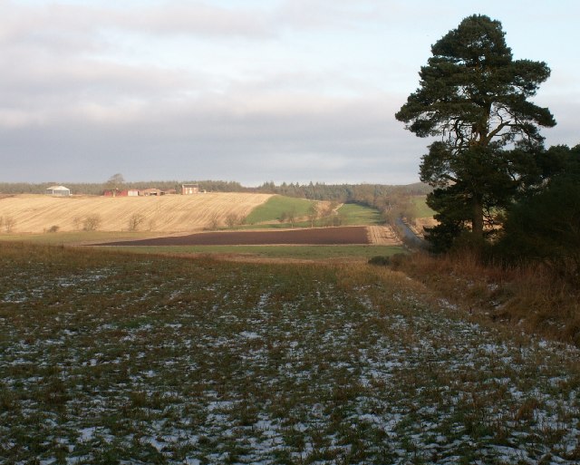
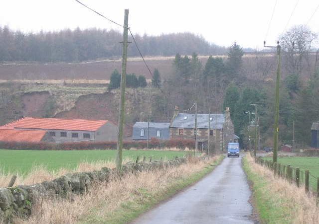
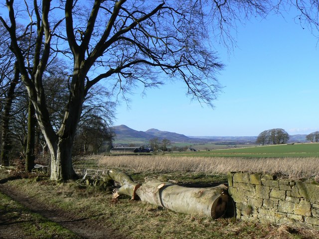
Venturefield Wood is a picturesque woodland area located in Fife, Scotland. Covering an area of approximately 100 acres, it is a natural haven that offers a tranquil escape from the hustle and bustle of everyday life.

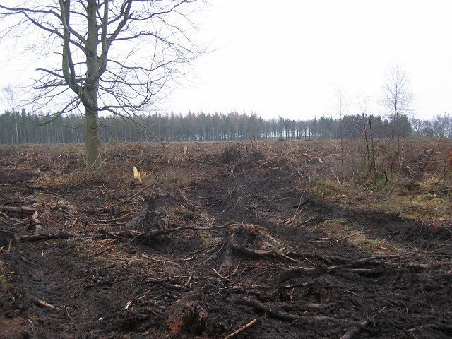
The wood is predominantly made up of broadleaf trees such as oak, beech, and birch, which create a rich and diverse ecosystem. The dense canopy provides shade, making it a pleasant place to explore on hot summer days. Additionally, the wood is home to a variety of wildlife, including birds, squirrels, and deer, making it a popular spot for nature enthusiasts and birdwatchers.

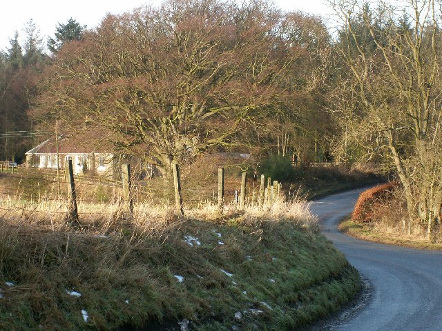
Venturefield Wood features several well-maintained walking trails that wind their way through the forest, allowing visitors to fully immerse themselves in the beauty of the natural surroundings. These paths cater to all abilities, making it accessible to families with young children or people with mobility issues.

Within the wood, there are also designated picnic areas where visitors can enjoy a peaceful outdoor meal amidst the tranquil ambiance. Furthermore, the wood offers a range of educational opportunities, with information boards scattered along the trails providing interesting facts about the local flora and fauna.

Overall, Venturefield Wood is a serene and enchanting woodland that offers a welcome retreat for those seeking a connection with nature. Whether it's a leisurely stroll, birdwatching, or a family picnic, this hidden gem in Fife is a must-visit for anyone looking to escape into the beauty of the Scottish countryside.

If you have any feedback on the listing, please let us know in the comments section below.

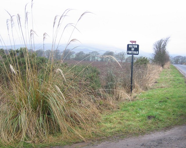
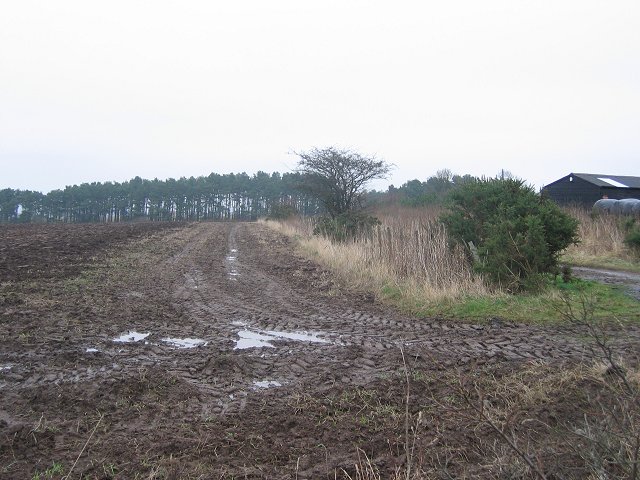
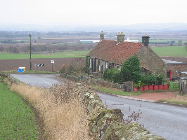
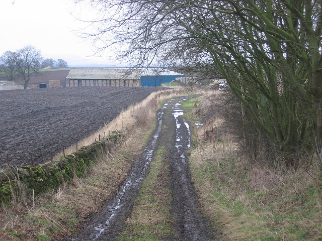
Venturefield Wood Images

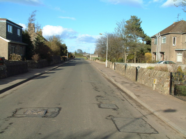
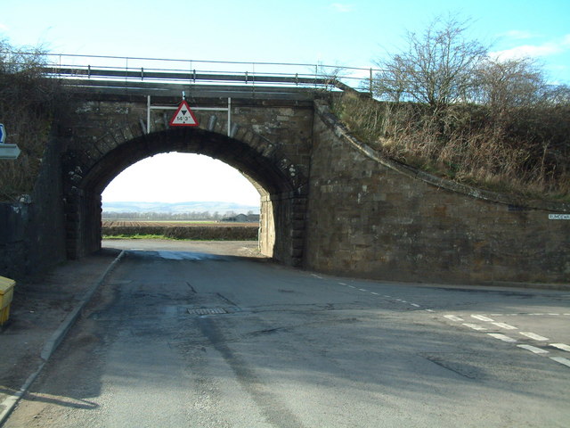
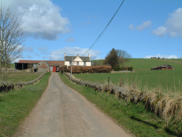
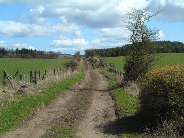
Images are sourced within 2km of 56.239767/-3.1178594 or Grid Reference NO3005. Thanks to Geograph Open Source API. All images are credited.

Farmland by Greenside, Drummy Wood Looking across much of the square in a north direction towards Rameldry. Much of the square to the South of this position is old woodland.
Farmland by Greenside, Drummy Wood
Looking across much of the square in a north direction towards Rameldry. Much of the square to the South of this position is old woodland.
By Middlefield Midway between Rameldry Farm and Middlefield cross roads
By Middlefield
Midway between Rameldry Farm and Middlefield cross roads
Drummy Wood Ride in this conifer wood which is currently undergoing a lot of clear felling. Looking south.
Drummy Wood
Ride in this conifer wood which is currently undergoing a lot of clear felling. Looking south.
Road in Drummy Wood. Looking north along a country land in Drummy  and Milldeans Wood.
Road in Drummy Wood.
Looking north along a country land in Drummy and Milldeans Wood.
Clearfell , Dykehead Wood. Part of the Drummy Wood forest block, now almost completely felled.
A view from 2009 can be seen here: <a href="https://www.geograph.org.uk/photo/1439915">NO3105 : Dykehead Wood</a>
Clearfell , Dykehead Wood.
Part of the Drummy Wood forest block, now almost completely felled. A view from 2009 can be seen here: NO3105 : Dykehead Wood
Rameldry Mill View NE along a minor road. Note the landslips on the bank.
Rameldry Mill
View NE along a minor road. Note the landslips on the bank.
Hilton of Forthar, road end. End of the road up to Hilton of Forthar.  View W towards the cloud covered Lomond Hills.
Hilton of Forthar, road end.
End of the road up to Hilton of Forthar. View W towards the cloud covered Lomond Hills.
Hilton of Forthar Newly ploughed fields, looking north. Stables on the right,
Hilton of Forthar
Newly ploughed fields, looking north. Stables on the right,
Forthar Cottages at the foot of a steep hill. View W over the Howe of Fife.
Forthar
Cottages at the foot of a steep hill. View W over the Howe of Fife.
East Forthar View along a farm track with a  former quarry run to woodland on the right.
East Forthar
View along a farm track with a former quarry run to woodland on the right.
By Carriston Farmland by Carriston and Pyeston
By Carriston
Farmland by Carriston and Pyeston
Kettlebridge Main street (Rumdewan) in the village of Kettlebridge
Kettlebridge
Main street (Rumdewan) in the village of Kettlebridge
Kettlebridge railway bridge The main line between the Forth Rail Bridge and Tay Rail bridge also crosses this little bridge in Kettlebridge
Kettlebridge railway bridge
The main line between the Forth Rail Bridge and Tay Rail bridge also crosses this little bridge in Kettlebridge
Kirkforthar Farm Seen from the south
Kirkforthar Farm
Seen from the south
Sandyhill track Track leading towards Hilton of Kirkforthar, passing Sandy Hill which is seen here to the right, overgrown with trees.
Sandyhill track
Track leading towards Hilton of Kirkforthar, passing Sandy Hill which is seen here to the right, overgrown with trees.
Timber A felled tree beside a footpath near Kettlehill, with the Lomond Hills in the background.
Timber
A felled tree beside a footpath near Kettlehill, with the Lomond Hills in the background.
Parkwell Cottage Abandoned and ruinous cottage, possibly associated with old coal workings in the neighbourhood.
Parkwell Cottage
Abandoned and ruinous cottage, possibly associated with old coal workings in the neighbourhood.
Rameldry Mill With some poultry in a front garden undergoing serious renovation.
Rameldry Mill
With some poultry in a front garden undergoing serious renovation.
Show me another place!

Venturefield Wood is located at Grid Ref: NO3005 (Lat: 56.239767, Lng: -3.1178594)

Unitary Authority: Fife

Police Authority: Fife

What 3 Words

///figs.shoppers.chucked. Near Kingskettle, Fife

Nearby Locations

Venturefield Wood

Related Wikis

Falkland Road railway station

Falkland Road railway station served the village of Freuchie, Fife, Scotland from 1847 to 1958 on the Edinburgh and Northern Railway. It lay almost 1 kilometre...

Kingskettle railway station

Kingskettle railway station served the village of Kingskettle, Fife, Scotland, from 1847 to 1967 on the Edinburgh and Northern Railway. == History == The...

Freuchie

Freuchie is a village in Fife, Scotland, at the foot of the Lomond Hills, and near Falkland. The nearest major town is Glenrothes located 4 miles to the...

Star, Fife

Star, also known as Star of Markinch (and historically as Star of Brunton or Star of Dalginch)), is a small village in Fife, Scotland. The name of Star...

Nearby Amenities

Located within 500m of 56.239767,-3.1178594
Rameldry Mill Bank
Place: isolated_dwelling
Lat/Long: 56.2416873/-3.1152
Power: pole
Lat/Long: 56.2368107/-3.1172141
Power: pole
Lat/Long: 56.2369614/-3.1179425
Power: pole
Lat/Long: 56.2370952/-3.1186162
Power: pole
Lat/Long: 56.2371122/-3.1192331
Power: pole
Lat/Long: 56.2371316/-3.1198215
Power: pole
Lat/Long: 56.2371474/-3.120434
Power: pole
Lat/Long: 56.2371608/-3.1210509
Power: pole
Lat/Long: 56.2371851/-3.1216743
Power: pole
Lat/Long: 56.2371997/-3.1222037
Power: pole
Lat/Long: 56.2372131/-3.1226915
Power: pole
Lat/Long: 56.2372179/-3.1232143
Power: pole
Lat/Long: 56.2370842/-3.1239121
Power: pole
Lat/Long: 56.2365469/-3.1216612
Power: pole
Lat/Long: 56.2359657/-3.1216415
Power: pole
Lat/Long: 56.2413043/-3.115895
Power: pole
Lat/Long: 56.2419157/-3.1151885
Power: pole
Lat/Long: 56.2420409/-3.1139985
Power: pole
Lat/Long: 56.2425527/-3.1134166
Power: pole
Lat/Long: 56.243062/-3.1128457
The data included in this document is from www.openstreetmap.org. The data is made available under ODbL.

Have you been to Venturefield Wood?

Leave your review of Venturefield Wood below (or comments, questions and feedback).