Easter Wood
Wood, Forest in Midlothian
Scotland
Easter Wood
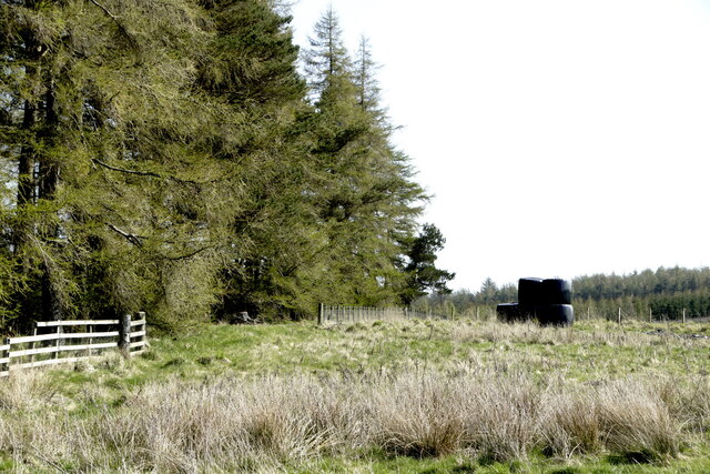
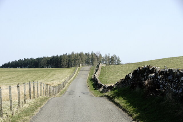
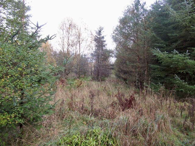
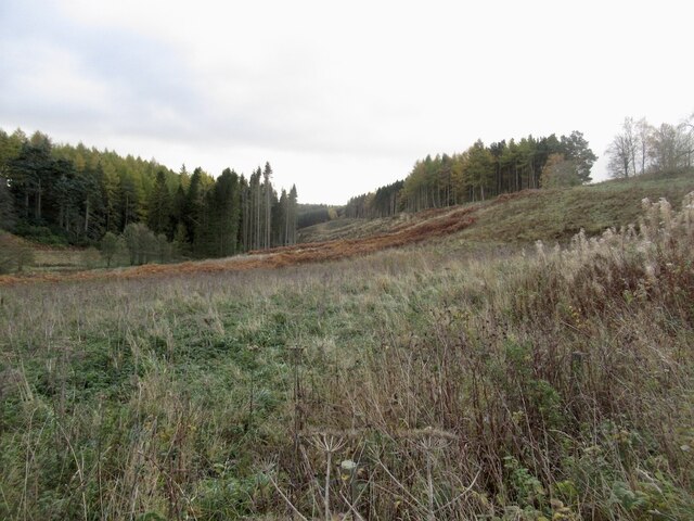
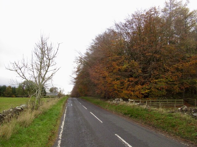
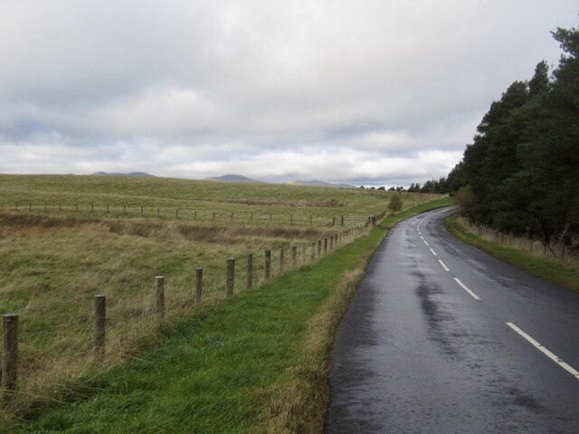
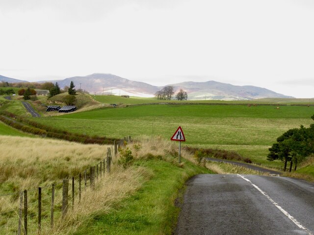
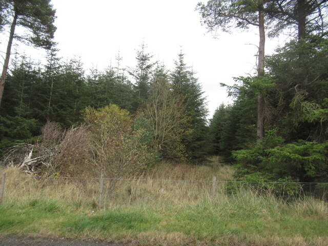
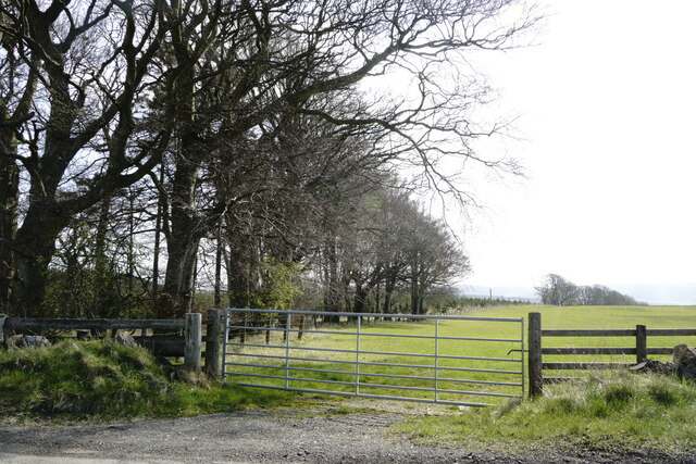
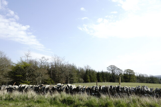
Easter Wood is a picturesque forest located in Midlothian, Scotland. This enchanting woodland area covers a vast expanse of 100 acres and is home to a diverse range of flora and fauna. The wood is known for its ancient oak trees, towering pine trees, and vibrant bluebells that carpet the forest floor in the spring.
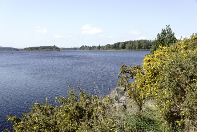
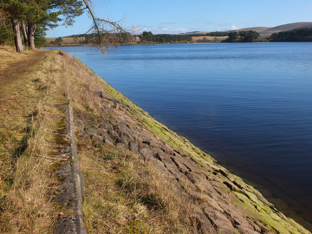
Easter Wood is a popular destination for nature enthusiasts, hikers, and birdwatchers. The forest is teeming with wildlife, including red squirrels, deer, and a variety of bird species. Visitors can explore the network of trails that wind through the forest, offering stunning views of the surrounding countryside.
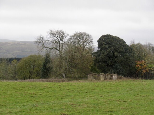
In addition to its natural beauty, Easter Wood also holds historical significance. The area is dotted with remnants of old settlements and ancient ruins, providing a glimpse into the rich history of the region.
Overall, Easter Wood offers a peaceful escape from the hustle and bustle of city life, allowing visitors to immerse themselves in the serene beauty of nature. Whether you're looking for a leisurely stroll or a challenging hike, Easter Wood has something to offer for everyone.
If you have any feedback on the listing, please let us know in the comments section below.
Easter Wood Images
Images are sourced within 2km of 55.792447/-3.1203685 or Grid Reference NT2956. Thanks to Geograph Open Source API. All images are credited.

Easter Wood is located at Grid Ref: NT2956 (Lat: 55.792447, Lng: -3.1203685)
Unitary Authority: Midlothian
Police Authority: The Lothians and Scottish Borders
What 3 Words
///probable.deflation.titles. Near Rosewell, Midlothian
Nearby Locations
Related Wikis

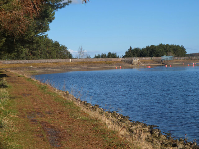
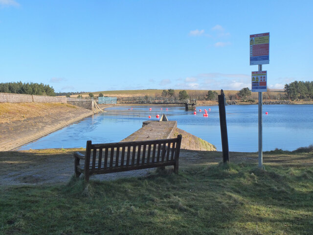
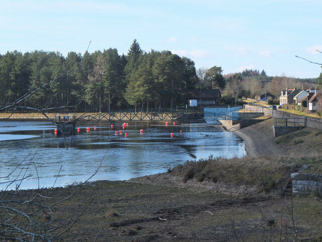
Edgelaw Reservoir
Edgelaw Reservoir is an artificial reservoir in Midlothian, Scotland, UK, four miles west of Temple. It was created in 1880 by James Leslie and his son...

Gladhouse Reservoir
Gladhouse Reservoir, formerly known as Moorfoot Loch, is a reservoir in Midlothian, Scotland, five miles (8 km) south of Penicuik. It is the most southerly...

Temple, Midlothian
Temple (Scottish Gaelic: Baile nan Trodach) is a village and civil parish in Midlothian, Scotland. Situated to the south of Edinburgh, the village lies...

Midlothian (UK Parliament constituency)
Midlothian in Scotland is a county constituency of the House of Commons of the Parliament of the United Kingdom. It elects one Member of Parliament (MP...
Nearby Amenities
Located within 500m of 55.792447,-3.1203685Have you been to Easter Wood?
Leave your review of Easter Wood below (or comments, questions and feedback).