Allan Clump

Wood, Forest in Midlothian

Scotland

Allan Clump

Dam at Gladhouse Reservoir The reservoir was created by damming the South Esk and completed in 1879 as a water supply for Edinburgh.
Dam at Gladhouse Reservoir Credit: Jim Barton

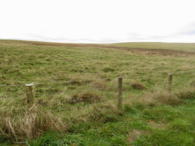
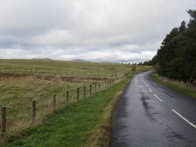
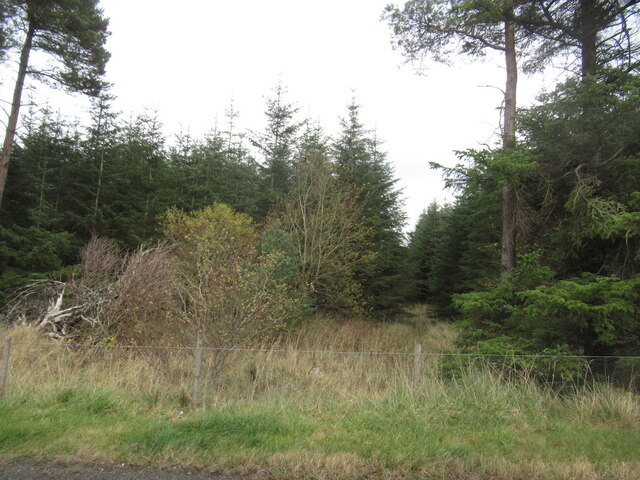
Allan Clump is a quaint and charming woodland located in the heart of Midlothian, Scotland. Nestled amidst the stunning natural beauty of the region, this forest offers a serene and peaceful escape from the hustle and bustle of city life.

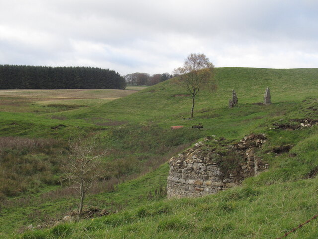
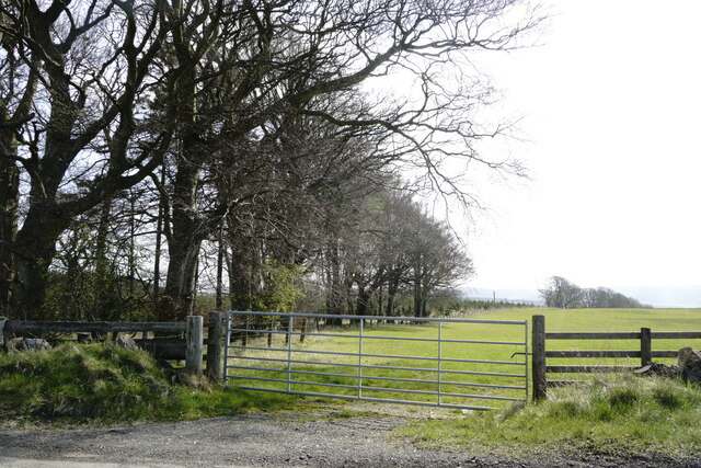
Covering an area of approximately 100 acres, Allan Clump is home to a diverse range of flora and fauna, making it a haven for nature enthusiasts and wildlife lovers. The forest is primarily composed of native Scottish trees such as oak, birch, and beech, which create a picturesque canopy overhead. The forest floor is adorned with a rich carpet of wildflowers, adding to the beauty of the surroundings.

The forest is crisscrossed with well-maintained walking trails, allowing visitors to explore its depths and discover its hidden treasures. These trails cater to all levels of fitness, from leisurely strolls to more challenging hikes. Along the way, visitors may come across babbling brooks, charming bridges, and even ancient ruins, adding a touch of history to the experience.

Allan Clump also boasts an abundance of wildlife, with various species of birds, mammals, and insects calling it home. Birdwatchers will be delighted to spot woodpeckers, owls, and other feathered friends, while lucky visitors may even catch a glimpse of red squirrels or deer.

Whether you seek solace in nature, a family outing, or a chance to reconnect with the great outdoors, Allan Clump in Midlothian is a perfect destination. Its tranquil atmosphere, stunning scenery, and diverse wildlife make it a truly magical place to explore and appreciate the wonders of nature.

If you have any feedback on the listing, please let us know in the comments section below.
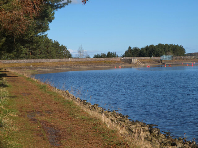
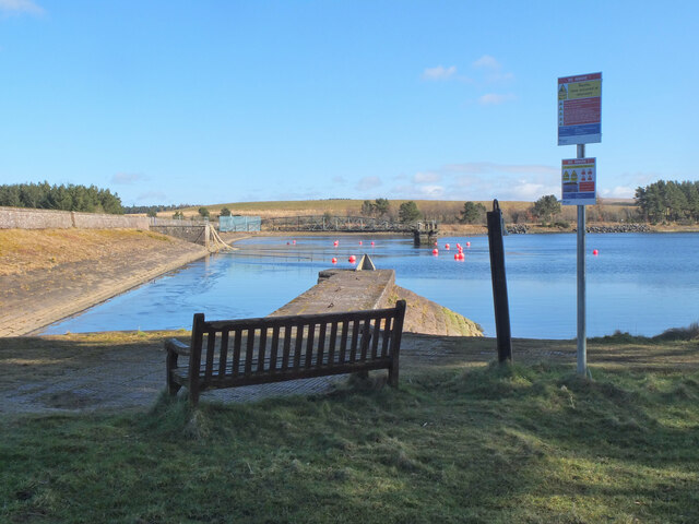
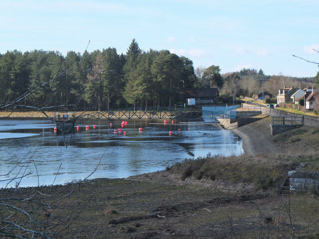
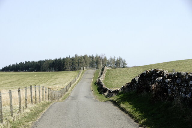
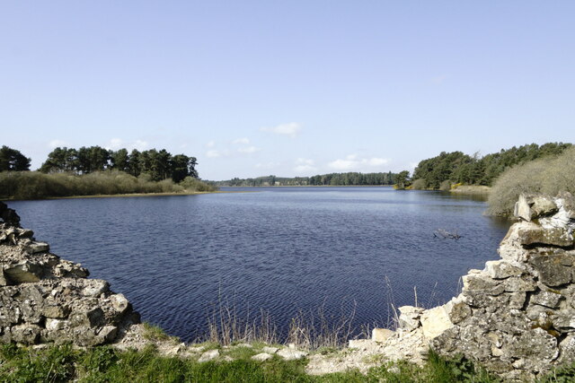
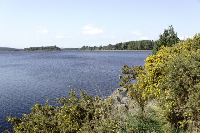
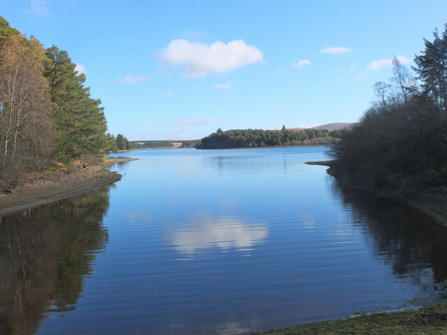
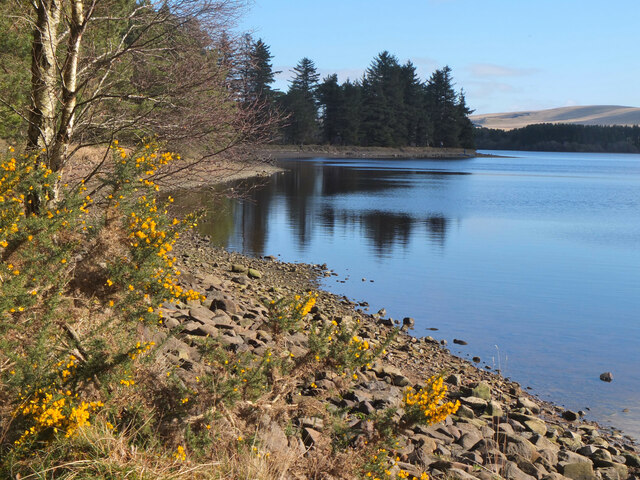
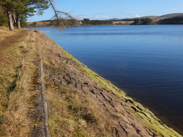
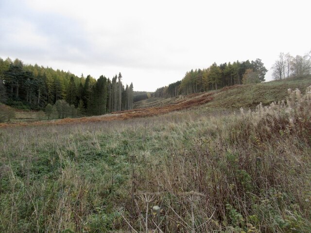
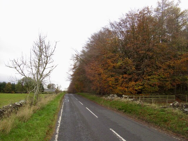
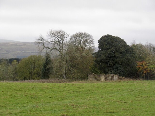
Allan Clump Images

Images are sourced within 2km of 55.788164/-3.1279482 or Grid Reference NT2955. Thanks to Geograph Open Source API. All images are credited.

Dam at Gladhouse Reservoir The reservoir was created by damming the South Esk and completed in 1879 as a water supply for Edinburgh.
Dam at Gladhouse Reservoir
The reservoir was created by damming the South Esk and completed in 1879 as a water supply for Edinburgh.
Northern arm of Gladhouse Reservoir The dam and bridge to the outlet tower seen from the shore near Gladhouse.
Northern arm of Gladhouse Reservoir
The dam and bridge to the outlet tower seen from the shore near Gladhouse.
Spillway and outlet, Gladhouse Reservoir The spillway is in the foreground, currently dry.
Spillway and outlet, Gladhouse Reservoir
The spillway is in the foreground, currently dry.
Road near Gladhouse Reservoir
Gladhouse Reservoir
Gladhouse Reservoir
Gladhouse Reservoir
Gladhouse Reservoir
Bay at the west end of Gladhouse Reservoir A tranquil bay surrounded by woodland.
Bay at the west end of Gladhouse Reservoir
A tranquil bay surrounded by woodland.
Shoreline at Gladhouse Reservoir The NW shoreline of this reservoir, completed in 1879 as a water supply for Edinburgh - see <span class="nowrap"><a title="https://en.wikipedia.org/wiki/Gladhouse_Reservoir" rel="nofollow ugc noopener" href="https://en.wikipedia.org/wiki/Gladhouse_Reservoir">Link</a><img style="margin-left:2px;" alt="External link" title="External link - shift click to open in new window" src="https://s1.geograph.org.uk/img/external.png" width="10" height="10"/></span> for more details.
Shoreline at Gladhouse Reservoir
The NW shoreline of this reservoir, completed in 1879 as a water supply for Edinburgh - see LinkExternal link for more details.
Bank of Gladhouse Reservoir Stone facing on the bank of this reservoir, completed in 1879 by engineer James Leslie - see <span class="nowrap"><a title="https://en.wikipedia.org/wiki/Gladhouse_Reservoir" rel="nofollow ugc noopener" href="https://en.wikipedia.org/wiki/Gladhouse_Reservoir">Link</a><img style="margin-left:2px;" alt="External link" title="External link - shift click to open in new window" src="https://s1.geograph.org.uk/img/external.png" width="10" height="10"/></span> for more details.
Bank of Gladhouse Reservoir
Stone facing on the bank of this reservoir, completed in 1879 by engineer James Leslie - see LinkExternal link for more details.
Gillygub Dean
Gillygub Dean
B6372 near Upperside
Ruin, Upperside
Ruin, Upperside
Grassland, Side
Grassland, Side
B6372, Side
B6372, Side
Road to Mount Lothian
Side Plantation
Side Plantation
Ruin and limekiln, Mount Lothian The carboniferous limestone has been quarried for lime here.
Ruin and limekiln, Mount Lothian
The carboniferous limestone has been quarried for lime here.
Edge of woodland near Gladstone Reservoir
Show me another place!

Allan Clump is located at Grid Ref: NT2955 (Lat: 55.788164, Lng: -3.1279482)

Unitary Authority: Midlothian

Police Authority: The Lothians and Scottish Borders

What 3 Words

///sunflower.lawfully.habits. Near Rosewell, Midlothian

Nearby Locations

Allan Clump

Related Wikis

Gladhouse Reservoir

Gladhouse Reservoir, formerly known as Moorfoot Loch, is a reservoir in Midlothian, Scotland, five miles (8 km) south of Penicuik. It is the most southerly...

Edgelaw Reservoir

Edgelaw Reservoir is an artificial reservoir in Midlothian, Scotland, UK, four miles west of Temple. It was created in 1880 by James Leslie and his son...

Temple, Midlothian

Temple (Scottish Gaelic: Baile nan Trodach) is a village and civil parish in Midlothian, Scotland. Situated to the south of Edinburgh, the village lies...

Midlothian (UK Parliament constituency)

Midlothian in Scotland is a county constituency of the House of Commons of the Parliament of the United Kingdom. It elects one Member of Parliament (MP...

Nearby Amenities

Located within 500m of 55.788164,-3.1279482
Power: pole
Lat/Long: 55.7896003/-3.1297036
Power: pole
Lat/Long: 55.7899389/-3.1292411
Power: pole
Lat/Long: 55.7904649/-3.1285118
Power: pole
Lat/Long: 55.7910249/-3.1277304
Power: pole
Lat/Long: 55.7915977/-3.1269469
Power: pole
Lat/Long: 55.7921971/-3.1285078
Power: pole
Lat/Long: 55.7918379/-3.1275845
Power: pole
Lat/Long: 55.7912978/-3.1261656
Power: pole
Lat/Long: 55.7908503/-3.1250195
Power: pole
Lat/Long: 55.7904345/-3.1241402
Power: pole
Lat/Long: 55.7900104/-3.1232296
Power: pole
Lat/Long: 55.7895863/-3.1223628
Power: pole
Lat/Long: 55.7891435/-3.1214231
Power: pole
Lat/Long: 55.7886643/-3.120425
Power: pole
Lat/Long: 55.788041/-3.1205563
Power: pole
Lat/Long: 55.7874213/-3.1206938
Power: pole
Lat/Long: 55.7867488/-3.1208459
The data included in this document is from www.openstreetmap.org. The data is made available under ODbL.

Have you been to Allan Clump?

Leave your review of Allan Clump below (or comments, questions and feedback).