Target Bank Wood

Wood, Forest in Peeblesshire

Scotland

Target Bank Wood

The Southern Upland Way near Blake Muir
The Southern Upland Way near Blake Muir Credit: Dave Kelly

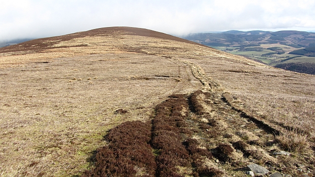
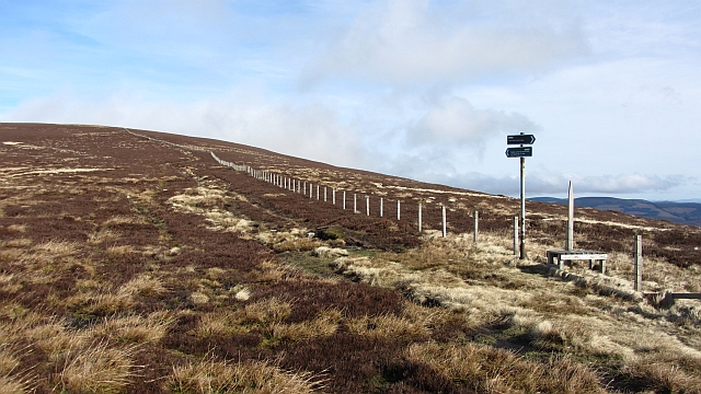
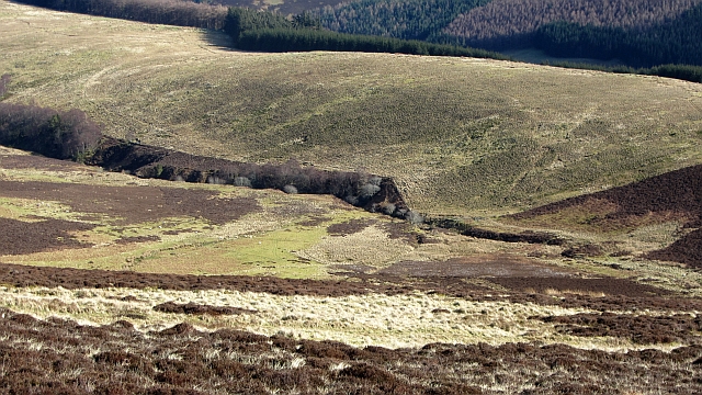
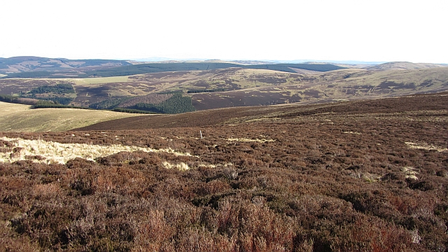
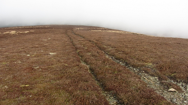
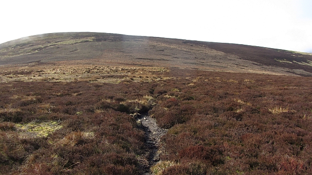
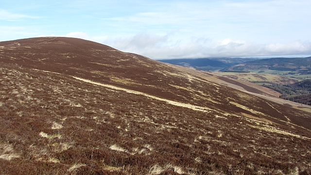
Target Bank Wood is a picturesque forest located in Peeblesshire, Scotland. Covering an area of approximately 100 acres, the wood is a haven of natural beauty and tranquility. It is situated on the western slopes of the Eddleston Water valley, offering stunning views of the surrounding landscape.

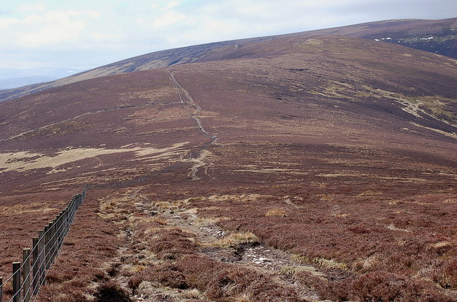
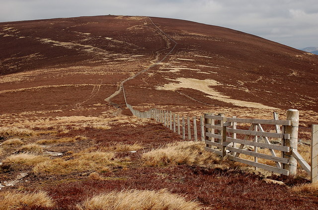
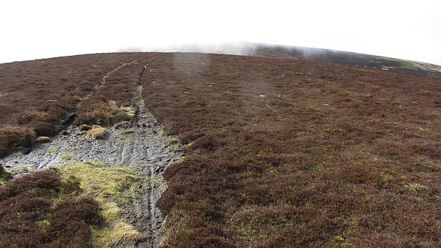
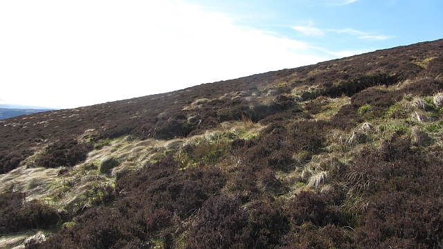
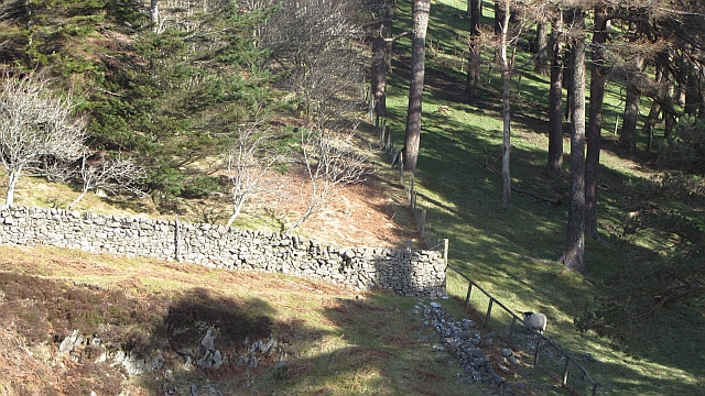
The wood is primarily composed of native broadleaf trees, including oak, birch, and rowan, which provide a diverse and vibrant canopy throughout the year. The forest floor is adorned with a rich carpet of wildflowers, ferns, and mosses, creating a lush and enchanting undergrowth. A network of well-maintained footpaths winds its way through the wood, allowing visitors to explore its hidden treasures.

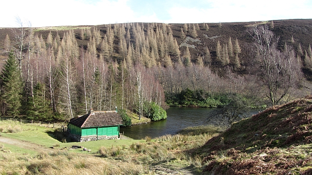
This woodland is not only a haven for nature enthusiasts but also a sanctuary for a variety of wildlife. Roe deer, red squirrels, and numerous bird species, including woodpeckers and owls, call Target Bank Wood their home. The wood is a designated Site of Special Scientific Interest (SSSI) due to its importance for conservation and biodiversity.

Target Bank Wood offers a range of recreational activities for visitors to enjoy. Hiking and walking trails provide opportunities for exploration, while designated picnic areas invite visitors to relax and immerse themselves in the peaceful surroundings. The wood is also a popular spot for birdwatching and photography, attracting enthusiasts from near and far.

Overall, Target Bank Wood is a hidden gem in Peeblesshire, offering a haven of natural beauty, diverse wildlife, and recreational opportunities for all to enjoy.

If you have any feedback on the listing, please let us know in the comments section below.

Target Bank Wood Images

Images are sourced within 2km of 55.57632/-3.1303359 or Grid Reference NT2831. Thanks to Geograph Open Source API. All images are credited.

The Southern Upland Way near Blake Muir
The Southern Upland Way near Newhall Hill
Ridge from Birkscairn Hill to Stake Law Peaty heather covers much of the ridge in view. The Old Drove Road between Traquair and Peebles crosses the col.
Ridge from Birkscairn Hill to Stake Law
Peaty heather covers much of the ridge in view. The Old Drove Road between Traquair and Peebles crosses the col.
Signposts south of Birkscairn Hill The signs at the stile shown in <a href="https://www.geograph.org.uk/photo/79682">NT2732 : Signpost and stile, Birkscairn hill</a>.
Signposts south of Birkscairn Hill
The signs at the stile shown in NT2732 : Signpost and stile, Birkscairn hill.
Birkscairn Hill from the slopes of Stake Law The Old Drove Road crosses the col and contours W of the summit of Birkscairn, rejoining the ridge further N.
Birkscairn Hill from the slopes of Stake Law
The Old Drove Road crosses the col and contours W of the summit of Birkscairn, rejoining the ridge further N.
Birks Hill summit Clag and drizzle clearing from Birks and Birkscairn Hill. The summit of Birks Hill is unmarked and it is very much a minor summit with only a shallow col with Birkscairn.

There is a prominent cairn to the east of the highest ground: <a href="https://www.geograph.org.uk/photo/242968">NT2833 : Cairns, Birks Hill</a>
There is no fence along this ridge.
Birks Hill summit
Clag and drizzle clearing from Birks and Birkscairn Hill. The summit of Birks Hill is unmarked and it is very much a minor summit with only a shallow col with Birkscairn. There is a prominent cairn to the east of the highest ground: NT2833 : Cairns, Birks Hill There is no fence along this ridge.
Birks Hill The col between Birks Hill and Birkscairn Hill.
Birks Hill
The col between Birks Hill and Birkscairn Hill.
Birkscairn Hill Scottish Rights of Way Society sign on the old drove road between Peebles and the Yarrow Water. The path goes through a gate here and cuts the rather sharp corner shown on Ordnance Survey maps.
Birkscairn Hill
Scottish Rights of Way Society sign on the old drove road between Peebles and the Yarrow Water. The path goes through a gate here and cuts the rather sharp corner shown on Ordnance Survey maps.
Moorland, Stake Law The heather covered southern slopes of Stake Law.
Moorland, Stake Law
The heather covered southern slopes of Stake Law.
Kill Burn A tree lined watercourse on the Glen Estate with grassy Chester Rig beyond.
Kill Burn
A tree lined watercourse on the Glen Estate with grassy Chester Rig beyond.
Moorland, Stake Law Deep heather on the Glen Estate.
Moorland, Stake Law
Deep heather on the Glen Estate.
Dyke - fence junction, Glenshiel Banks Woodland behind Glenshiel Banks.
Dyke - fence junction, Glenshiel Banks
Woodland behind Glenshiel Banks.
Loch Eddy An artificial loch in a woodland setting. It is named as a memorial to Edward Tennant, heir to the estate who was killed in the 1914-18 war.
Loch Eddy
An artificial loch in a woodland setting. It is named as a memorial to Edward Tennant, heir to the estate who was killed in the 1914-18 war.
Birks Hill A moorland covered minor bump above the Glen Estate.
Birks Hill
A moorland covered minor bump above the Glen Estate.
Birkscairn Hill Birkscairn Hill seen from the col with Birks Hill.
Birkscairn Hill
Birkscairn Hill seen from the col with Birks Hill.
Glen House The centrepiece of the Glen Estate, set in a beautiful wooded valley off Tweeddale.
Glen House
The centrepiece of the Glen Estate, set in a beautiful wooded valley off Tweeddale.
Birkscairn Hill The Glen Estate grouse moors on the southern side of Birkscairn Hill.
Birkscairn Hill
The Glen Estate grouse moors on the southern side of Birkscairn Hill.
Patterns on Stake Law Loops of trampled or cut heather. I suspect that once the wind dropped the interiors of the loops were burnt. Splotches have taken over from stripes in muirburn fashion, the aim is still the same - young heather for grouse food close to old heather for shelter and concealment.
Patterns on Stake Law
Loops of trampled or cut heather. I suspect that once the wind dropped the interiors of the loops were burnt. Splotches have taken over from stripes in muirburn fashion, the aim is still the same - young heather for grouse food close to old heather for shelter and concealment.
Show me another place!

Target Bank Wood is located at Grid Ref: NT2831 (Lat: 55.57632, Lng: -3.1303359)

Unitary Authority: The Scottish Borders

Police Authority: The Lothians and Scottish Borders

What 3 Words

///syndicate.choppers.unguarded. Near Innerleithen, Scottish Borders
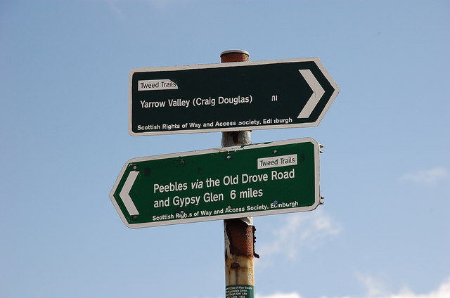
Related Wikis

The Glen, Scottish Borders

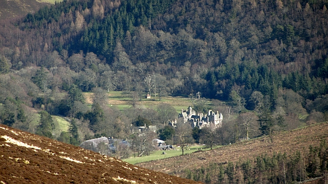
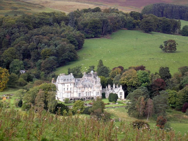
The Glen, also known as Glen House, is an estate and country house in the parish of Traquair, southern Scotland. It is located in the glen of the Quair...

Dun Rig

Dun Rig is a hill in the Manor Hills range, part of the Southern Uplands of Scotland. It is the highest hill in the northernmost cluster of the Manor Hills...

Manor Hills

The Manor Hills, also known as the Tweedsmuir Hills, are a range of hills south of Peebles in the Scottish Borders, one of the ranges which collectively...

Traquair

Traquair (Scottish Gaelic: Cille Bhrìghde) is a small village and civil parish in the Scottish Borders; until 1975 it was in the county of Peeblesshire...

Sir Walter Scott Way

The Sir Walter Scott Way is a 92-mile (148 km) long-distance footpath in the Scottish Borders. The route broadly follows the waymarked Southern Upland...

Quair Water

The Quair Water is a tributary of the River Tweed in the Scottish Borders area of Scotland. Its name is related to Traquair. == Etymology == The name Quair...

Cardrona Forest

The Cardrona Forest is a forest in the Scottish Borders area of Scotland, on the B7062, near Peebles. OS Grid Reference: NT292385. Cardrona Forest consists...

Traquair House

Traquair House, approximately 7 miles southeast of Peebles, is claimed to be the oldest continually inhabited house in Scotland. Whilst not strictly a...

Have you been to Target Bank Wood?

Leave your review of Target Bank Wood below (or comments, questions and feedback).