Side Plantation
Wood, Forest in Midlothian
Scotland
Side Plantation
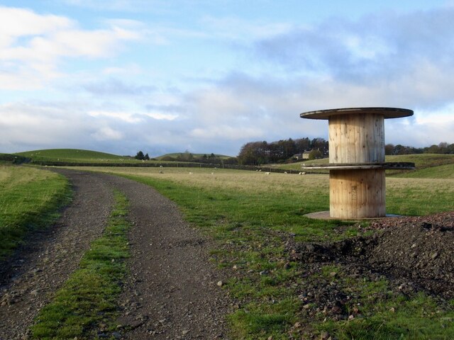
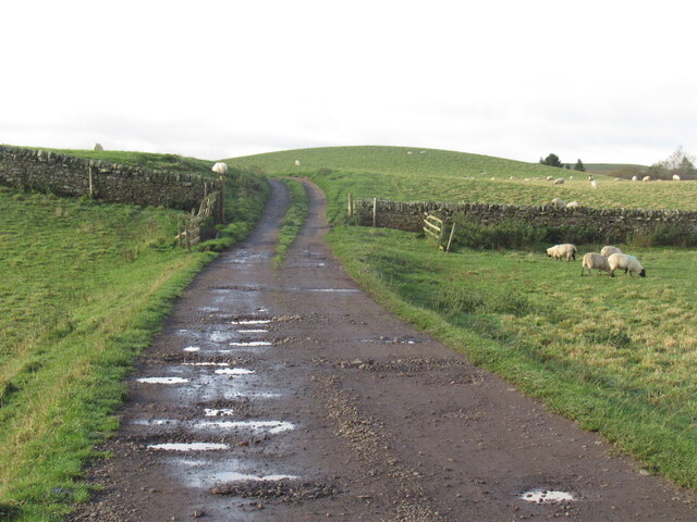
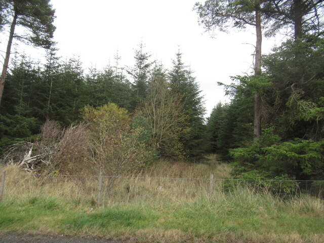
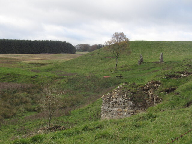
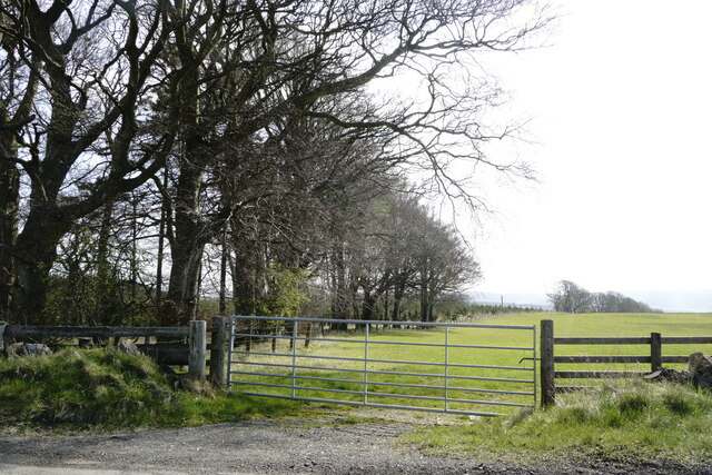
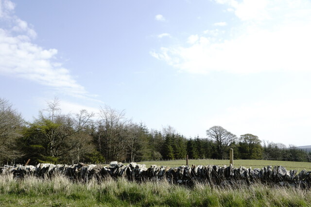
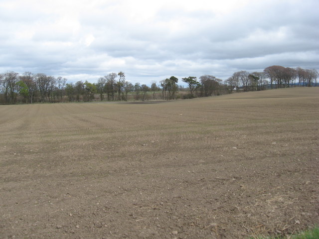
Side Plantation is a stunning woodland area located in Midlothian, Scotland. With its lush greenery and diverse range of flora and fauna, it serves as a haven for nature enthusiasts and those seeking a tranquil escape from the bustling city life.
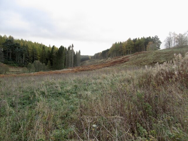
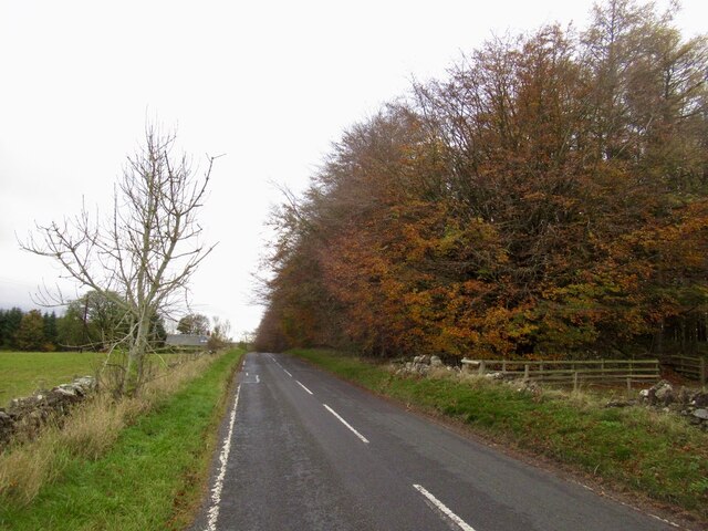
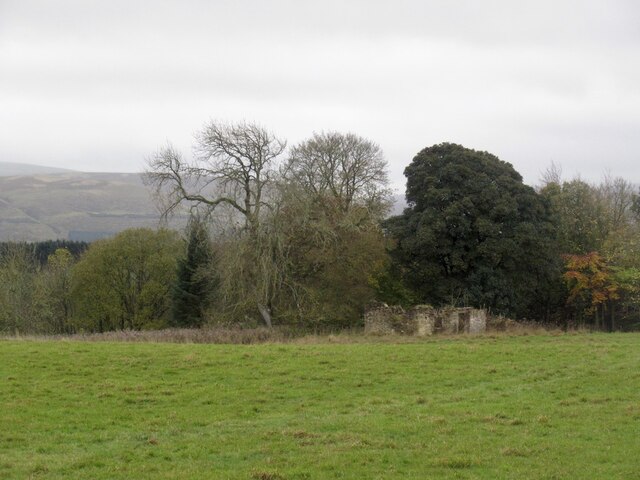
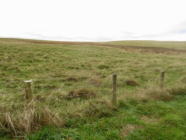
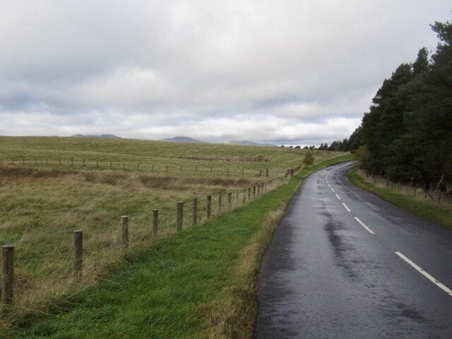
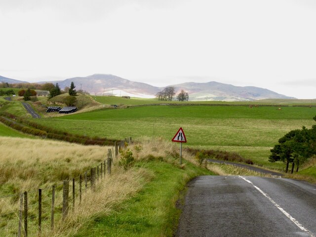
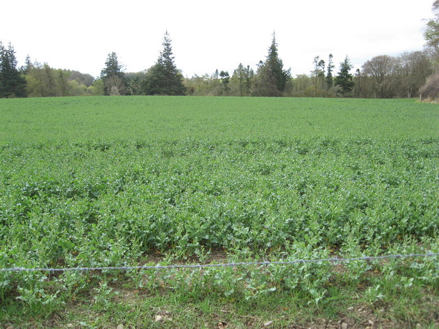
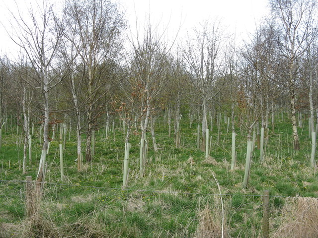
Covering a vast expanse of land, Side Plantation is primarily composed of dense woodlands, making it an ideal spot for hikers and walkers. The plantation is home to a variety of tree species, including oak, birch, and beech, which create a captivating tapestry of colors throughout the seasons. The forest floor is adorned with a rich carpet of moss, ferns, and wildflowers, adding to the enchanting atmosphere of the area.
In addition to its natural beauty, Side Plantation is also home to a diverse range of wildlife. Visitors may catch a glimpse of red squirrels darting through the trees, or spot birds such as woodpeckers and goldcrests flitting from branch to branch. The plantation also provides a habitat for various species of butterflies, beetles, and other insects.
Aside from its ecological significance, Side Plantation also has historical value. It was once an important timber resource during the 18th and 19th centuries, supplying timber for the local coal mining industry. Although the plantation no longer serves this purpose, remnants of the past can still be seen in the form of old logging paths and abandoned mine entrances.
Overall, Side Plantation is a captivating natural retreat that offers a blend of stunning landscapes, diverse wildlife, and a touch of history. It provides a perfect setting for outdoor activities, nature walks, or simply immersing oneself in the tranquility of the forest.
If you have any feedback on the listing, please let us know in the comments section below.
Side Plantation Images
Images are sourced within 2km of 55.792609/-3.1369764 or Grid Reference NT2856. Thanks to Geograph Open Source API. All images are credited.


Side Plantation is located at Grid Ref: NT2856 (Lat: 55.792609, Lng: -3.1369764)
Unitary Authority: Midlothian
Police Authority: The Lothians and Scottish Borders
What 3 Words
///revives.alternate.sharpen. Near Rosewell, Midlothian
Nearby Locations
Related Wikis

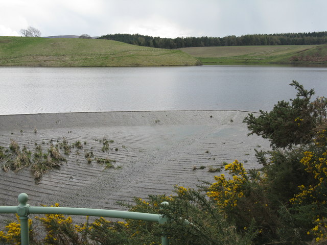
Edgelaw Reservoir
Edgelaw Reservoir is an artificial reservoir in Midlothian, Scotland, UK, four miles west of Temple. It was created in 1880 by James Leslie and his son...

Gladhouse Reservoir
Gladhouse Reservoir, formerly known as Moorfoot Loch, is a reservoir in Midlothian, Scotland, five miles (8 km) south of Penicuik. It is the most southerly...

Midlothian (UK Parliament constituency)
Midlothian in Scotland is a county constituency of the House of Commons of the Parliament of the United Kingdom. It elects one Member of Parliament (MP...

Temple, Midlothian
Temple (Scottish Gaelic: Baile nan Trodach) is a village and civil parish in Midlothian, Scotland. Situated to the south of Edinburgh, the village lies...
Wellington School, Midlothian
Wellington School, Midlothian, Scotland was a residential school for boys, owned by the City of Edinburgh Council and operated by the Council's Children...

Arniston House
Arniston House is a historic house in Midlothian, Scotland, near the village of Temple. This Georgian mansion was designed by William Adam in 1726 for...

Leadburn railway station
Leadburn railway station served the hamlet of Leadburn, Midlothian, Scotland from 1855 to 1962 on the Peebles Railway. == History == The station opened...

Rosslynlee Hospital
Rosslynlee Hospital was a mental health facility near Roslin, Midlothian in Scotland. The main hospital building is a Grade C listed building. Rosslynlee...
Nearby Amenities
Located within 500m of 55.792609,-3.1369764Have you been to Side Plantation?
Leave your review of Side Plantation below (or comments, questions and feedback).