Falla Brae
Wood, Forest in Peeblesshire
Scotland
Falla Brae
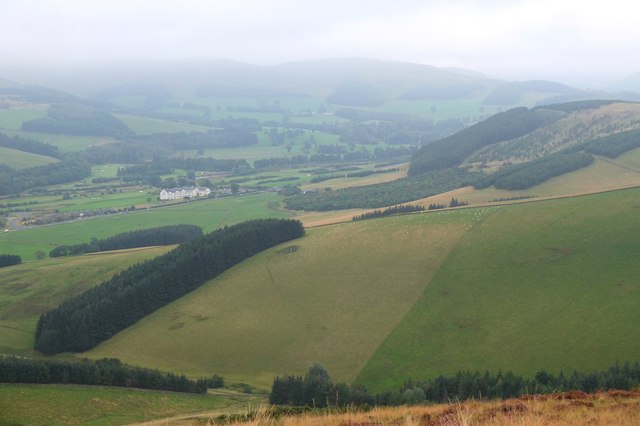
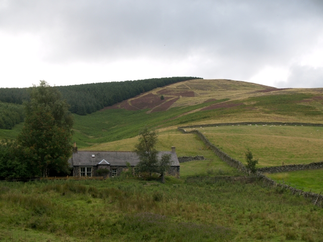
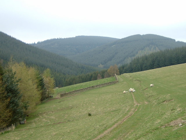
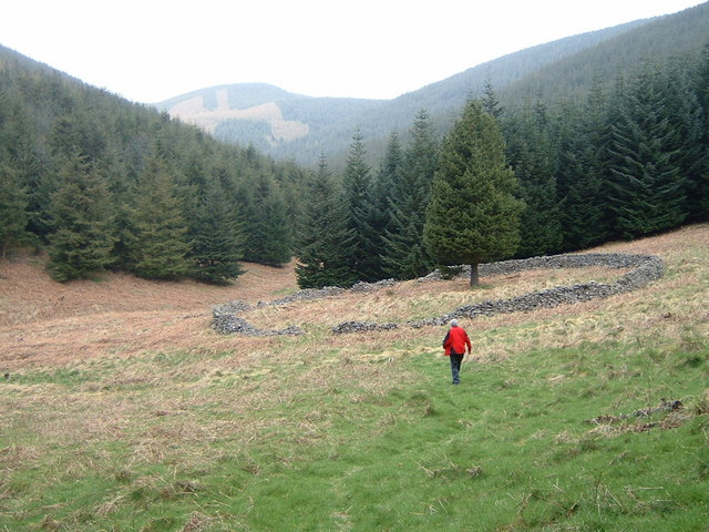
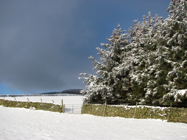
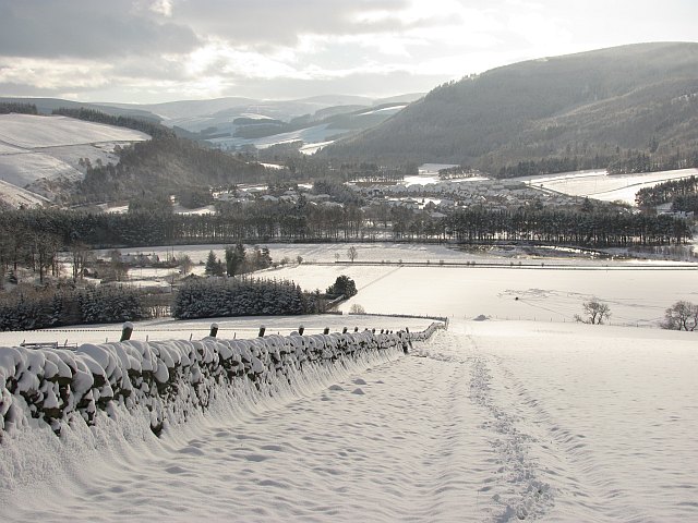
Falla Brae is a picturesque woodland located in Peeblesshire, a historic county in the Scottish Borders region of Scotland. Nestled amidst rolling hills and lush greenery, this enchanting forest is known for its breathtaking beauty and tranquil atmosphere.
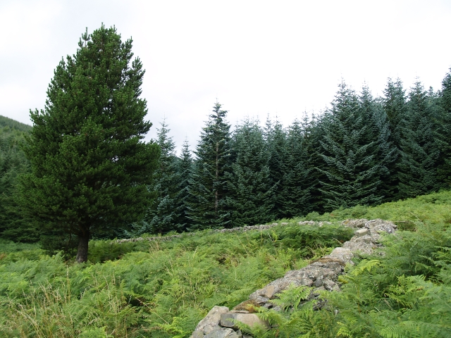
Covering an area of approximately 200 acres, Falla Brae boasts a diverse range of native tree species, including oak, birch, and pine, which provide a rich tapestry of colors during the autumn months. The forest floor is blanketed with a lush carpet of ferns, mosses, and wildflowers, creating a vibrant and inviting landscape for visitors to explore.
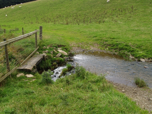
The wood is crisscrossed with a network of well-maintained footpaths and trails, allowing visitors to immerse themselves in the natural splendor of the surroundings. These paths wind through the forest, leading to secluded clearings, babbling brooks, and stunning viewpoints that offer panoramic vistas of the surrounding countryside. Wildlife is abundant in Falla Brae, with sightings of deer, red squirrels, and a variety of bird species being common.
Falla Brae is not only a haven for nature lovers but also a popular destination for outdoor enthusiasts. The forest offers opportunities for activities such as hiking, birdwatching, and photography. It is also a favored spot for picnicking and family outings, with several designated picnic areas and benches scattered throughout the woodland.
With its serene ambiance and breathtaking scenery, Falla Brae is a hidden gem in Peeblesshire, offering visitors a peaceful retreat away from the hustle and bustle of everyday life.
If you have any feedback on the listing, please let us know in the comments section below.
Falla Brae Images
Images are sourced within 2km of 55.652345/-3.1385489 or Grid Reference NT2840. Thanks to Geograph Open Source API. All images are credited.


Falla Brae is located at Grid Ref: NT2840 (Lat: 55.652345, Lng: -3.1385489)
Unitary Authority: The Scottish Borders
Police Authority: The Lothians and Scottish Borders
What 3 Words
///pave.pits.bubbles. Near Peebles, Scottish Borders
Nearby Locations
Related Wikis
Horsburgh Castle
Horsburgh Castle, also known as Horsbrugh Castle or Horsbrugh Tower, is a ruined tower house castle by the River Tweed, on the A72 road from Peebles to...

Kailzie Gardens
Kailzie Gardens is a walled garden near Kirkburn in the Scottish Borders area of Scotland, in the Tweed valley, 2.5 miles (4 km) east of Peebles, off the...

Cardrona railway station
Cardrona railway station served the village of Cardrona, Scottish Borders, Scotland from 1864 to 1962 on the Peebles Railway. == History == The station...

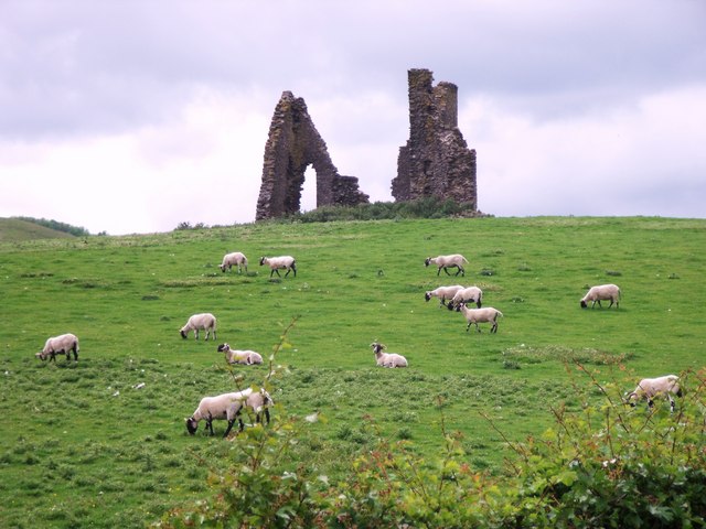
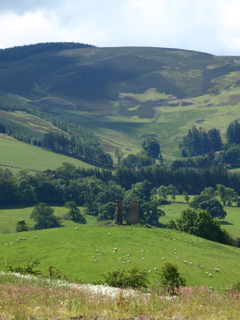
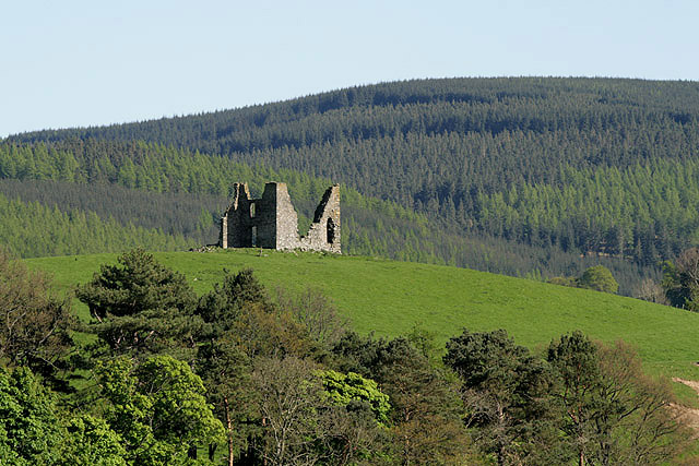
Nether Horsburgh Castle
Nether Horsburgh Castle is a ruined tower house near Cardrona, in the Scottish Borders, in the former county of Peebleshire. It is situated at the back...
Nearby Amenities
Located within 500m of 55.652345,-3.1385489Have you been to Falla Brae?
Leave your review of Falla Brae below (or comments, questions and feedback).