Falla Brae
Hill, Mountain in Peeblesshire
Scotland
Falla Brae
Falla Brae is a picturesque hill located in Peeblesshire, a historic county in the Scottish Borders region of Scotland. Rising to an elevation of approximately 450 meters (1476 feet), it offers breathtaking views of the surrounding landscape and is a popular destination for hikers and nature enthusiasts.
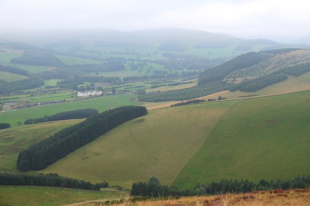
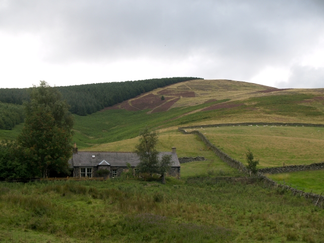
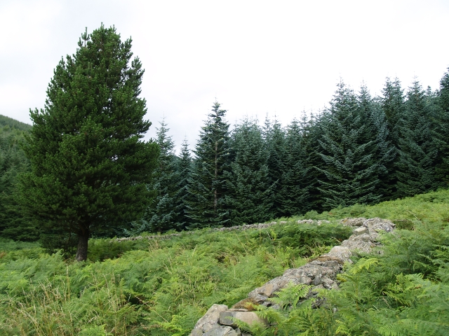
Situated near the charming town of Peebles, Falla Brae is easily accessible and attracts both locals and tourists throughout the year. The hill is characterized by its gentle slopes and is covered in lush vegetation, including heather, grasses, and scattered trees. Its verdant beauty is especially captivating during the autumn season when the leaves change colors, creating a stunning tapestry of red, orange, and gold.
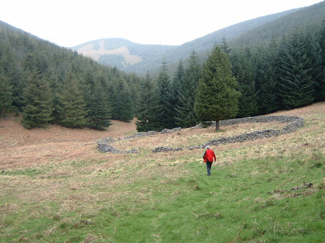
The ascent to Falla Brae is relatively moderate, making it suitable for hikers of varying abilities. Along the way, visitors can appreciate the tranquil atmosphere, interrupted only by the sounds of birds chirping and the rustling of leaves. At the summit, one is rewarded with breathtaking panoramic views of the rolling hills, verdant valleys, and meandering rivers that define the Peebleshire landscape.
Falla Brae is not only a haven for nature lovers but also a site of historical significance. The hill is steeped in folklore and legends, with tales of ancient battles, mythical creatures, and lost treasure adding to its allure.
Overall, Falla Brae is a natural gem in Peeblesshire, offering a serene escape from the hustle and bustle of everyday life. Its beauty, accessibility, and rich history make it a must-visit destination for those seeking solace in nature and a glimpse into Scotland's past.
If you have any feedback on the listing, please let us know in the comments section below.
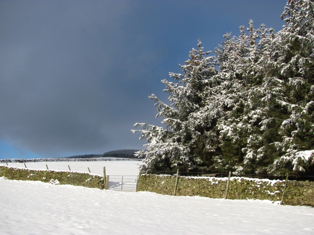
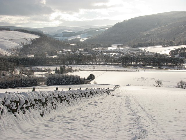
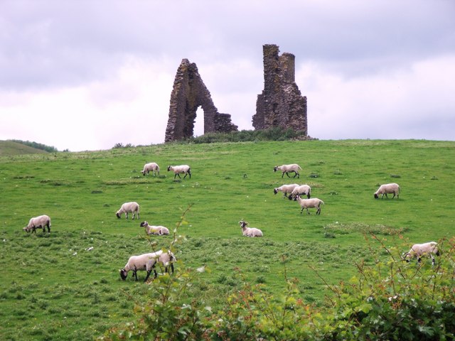
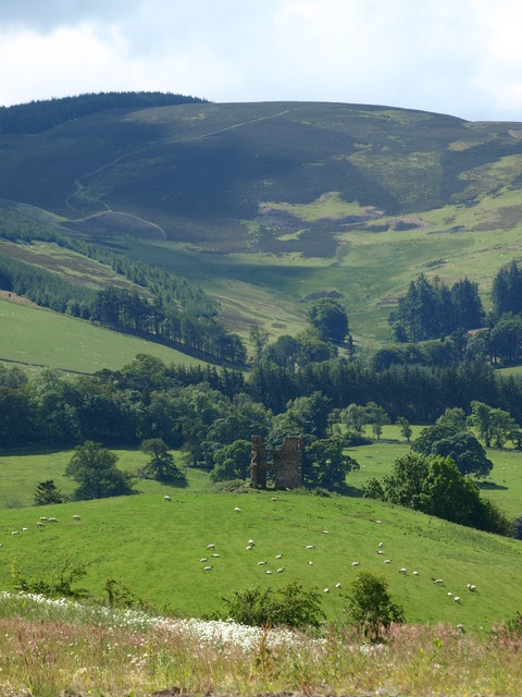
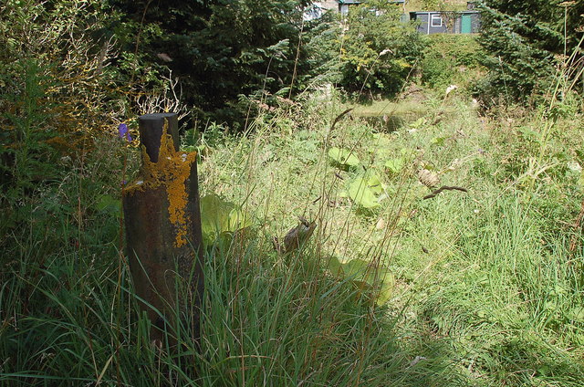
Falla Brae Images
Images are sourced within 2km of 55.652003/-3.1396673 or Grid Reference NT2840. Thanks to Geograph Open Source API. All images are credited.


Falla Brae is located at Grid Ref: NT2840 (Lat: 55.652003, Lng: -3.1396673)
Unitary Authority: The Scottish Borders
Police Authority: The Lothians and Scottish Borders
What 3 Words
///roadshow.fondest.searcher. Near Peebles, Scottish Borders
Nearby Locations
Related Wikis
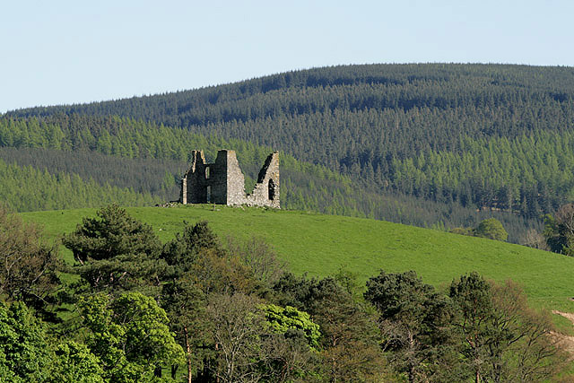
Horsburgh Castle
Horsburgh Castle, also known as Horsbrugh Castle or Horsbrugh Tower, is a ruined tower house castle by the River Tweed, on the A72 road from Peebles to...

Kailzie Gardens
Kailzie Gardens is a walled garden near Kirkburn in the Scottish Borders area of Scotland, in the Tweed valley, four km east of Peebles, off the B7062...

Kirkburn, Scottish Borders
Kirkburn is a village on the B7062, close to Peebles and the River Tweed, in the Scottish Borders area of Scotland, at the edge of the Cardrona Forest...

Cardrona railway station
Cardrona railway station served the village of Cardrona, Scottish Borders, Scotland from 1864 to 1962 on the Peebles Railway. == History == The station...
Nearby Amenities
Located within 500m of 55.652003,-3.1396673Have you been to Falla Brae?
Leave your review of Falla Brae below (or comments, questions and feedback).