Craiglands Plantation

Wood, Forest in Peeblesshire

Scotland

Craiglands Plantation

Pine trees above Upper Newby Some eye-catching pines at the edge of a small plantation on the steep end of the ridge descending from Hundleshope Heights.
Pine trees above Upper Newby Credit: Jim Barton

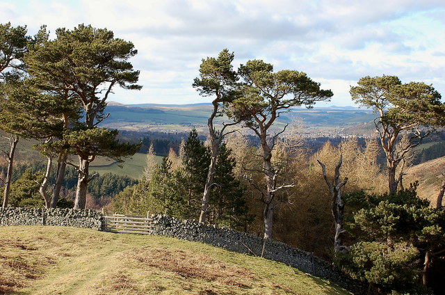
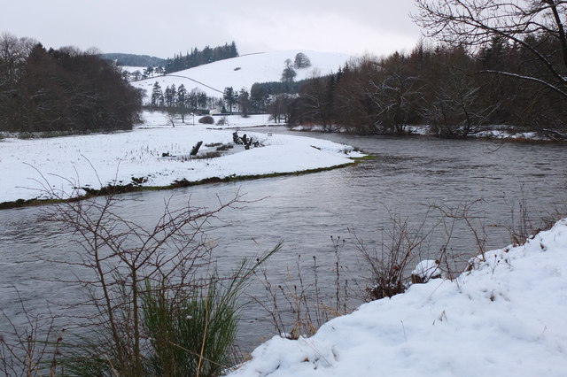
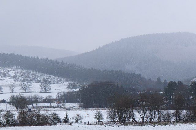
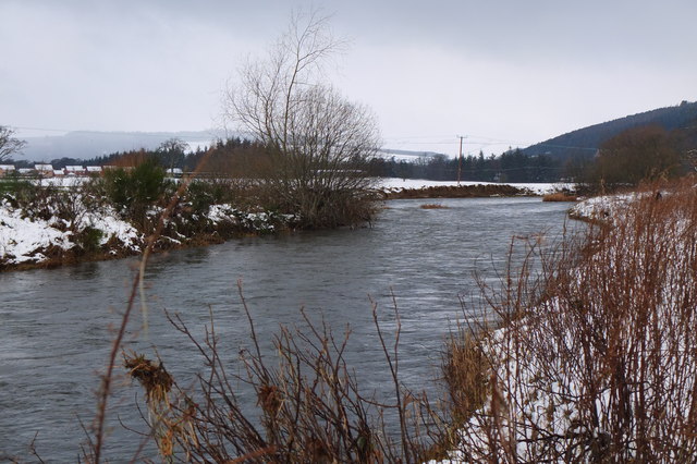
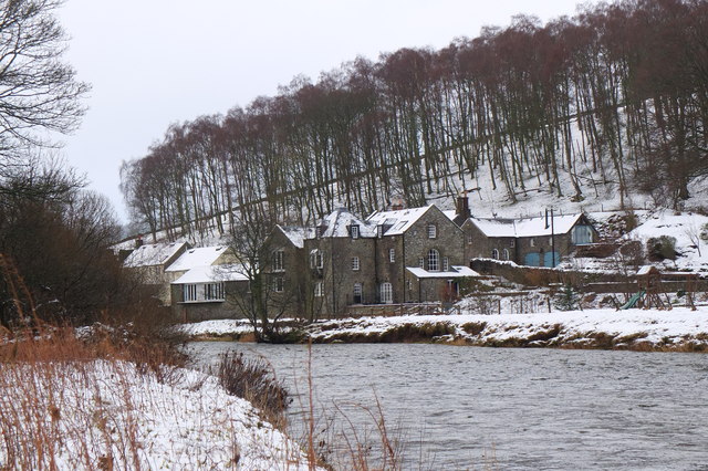
Craiglands Plantation is a picturesque woodland area located in Peeblesshire, Scotland. Spanning over a vast area, this plantation is renowned for its lush greenery, tall trees, and diverse flora and fauna. It provides a serene and tranquil environment for nature enthusiasts and is a popular spot for outdoor activities.

The plantation consists mainly of native tree species such as oak, birch, and pine, which contribute to the rich biodiversity found here. The tall, mature trees create a dense canopy, providing shade and shelter for a wide variety of wildlife. Visitors can spot numerous bird species, including woodpeckers, owls, and songbirds, as well as small mammals like squirrels and rabbits.

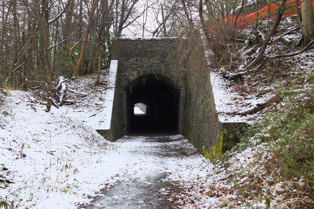
The well-maintained pathways within the plantation make it easily accessible for walkers, hikers, and cyclists. There are designated trails that wind through the woods, allowing visitors to explore the beauty of the area at their own pace. Additionally, picnic spots and benches are scattered throughout the plantation, offering a perfect opportunity to relax and enjoy the peaceful surroundings.

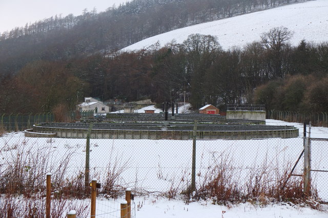
Craiglands Plantation also plays a vital role in conservation efforts. The local authorities and conservationists work together to preserve the natural habitats and protect the biodiversity of the area. This includes regular maintenance of the trails, managing invasive species, and promoting sustainable practices.

Overall, Craiglands Plantation is an enchanting woodland retreat that appeals to nature lovers and outdoor enthusiasts alike. Its breathtaking scenery, diverse wildlife, and well-kept trails make it a must-visit destination for anyone seeking solace in the beauty of nature.

If you have any feedback on the listing, please let us know in the comments section below.

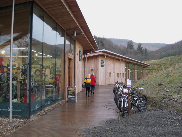
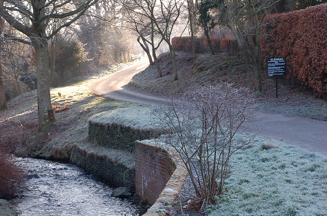
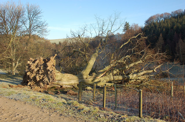
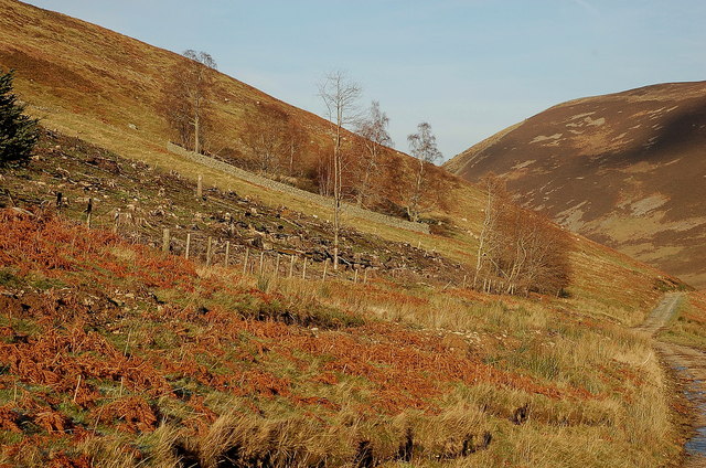
Craiglands Plantation Images

Images are sourced within 2km of 55.631842/-3.1498195 or Grid Reference NT2738. Thanks to Geograph Open Source API. All images are credited.

Pine trees above Upper Newby Some eye-catching pines at the edge of a small plantation on the steep end of the ridge descending from Hundleshope Heights.
Pine trees above Upper Newby
Some eye-catching pines at the edge of a small plantation on the steep end of the ridge descending from Hundleshope Heights.
Horsburgh Castle ruin with sheep pasture
Horsburgh Castle Horsburgh Castle seen from the visitors centre on the opposite hillside.  Sheep and hills a plenty.
Horsburgh Castle
Horsburgh Castle seen from the visitors centre on the opposite hillside. Sheep and hills a plenty.
The Hub Cafe, Glentress Packed out as usual and sadly such a good, fair priced cafe as this just had to go. They were denied the chance to bid for the lease for the shiny new facility over the road and closed down by the Forestry Commission.  Apparently this is normal practice once one of their facilities becomes popular, and I have seen a similar enterprise in the Forest of Dean go the same way.  

The bike shop closed today, so no more good value, and quick services for my bikes.
The Hub Cafe, Glentress
Packed out as usual and sadly such a good, fair priced cafe as this just had to go. They were denied the chance to bid for the lease for the shiny new facility over the road and closed down by the Forestry Commission. Apparently this is normal practice once one of their facilities becomes popular, and I have seen a similar enterprise in the Forest of Dean go the same way. The bike shop closed today, so no more good value, and quick services for my bikes.
The Hub - the last day Having done so much for the success of the bike trails in Glentress Forest, today the shop was closed down by the Forestry Commission. They were not allowed to bid for the lease in the new all singing and all dancing centre across the road which we are expected to pay for (not a penny from me! - I'm parking elsewhere and riding in) and they are to be replaced by one of the big Edinburgh shops.

A legend!
The Hub - the last day
Having done so much for the success of the bike trails in Glentress Forest, today the shop was closed down by the Forestry Commission. They were not allowed to bid for the lease in the new all singing and all dancing centre across the road which we are expected to pay for (not a penny from me! - I'm parking elsewhere and riding in) and they are to be replaced by one of the big Edinburgh shops. A legend!
Horsbrugh Castle A 16th century castle, now a roofless ruin, on a hillock just S of the A72 near Cardrona - see <span class="nowrap"><a title="http://www.scotlandsplaces.gov.uk/search_item/index.php?service=RCAHMS&id=51274" rel="nofollow ugc noopener" href="http://www.scotlandsplaces.gov.uk/search_item/index.php?service=RCAHMS&id=51274">Link</a><img style="margin-left:2px;" alt="External link" title="External link - shift click to open in new window" src="https://s1.geograph.org.uk/img/external.png" width="10" height="10"/></span> for more detail. Horsburgh is an alternative spelling for the name. There is also a ruined tower at Nether Horsburgh in NT3039 to the east.
Horsbrugh Castle
A 16th century castle, now a roofless ruin, on a hillock just S of the A72 near Cardrona - see LinkExternal link for more detail. Horsburgh is an alternative spelling for the name. There is also a ruined tower at Nether Horsburgh in NT3039 to the east.
The Tweed near Kailzie Compare with <a href="https://www.geograph.org.uk/photo/1850309">NT2838 : A bend on the River Tweed near Kailzie</a> which shows the same scene in May 2010.
The Tweed near Kailzie
Compare with NT2838 : A bend on the River Tweed near Kailzie which shows the same scene in May 2010.
Eshiels and Glentress A view from the old railway route between Cardrona and Peebles on a morning with light snow showers.
Eshiels and Glentress
A view from the old railway route between Cardrona and Peebles on a morning with light snow showers.
Decorated trees, Eshiels Community Woodland Trees with a brighter look at the site of the Eshiels Youth Sculpture Project in this part of the woodland by the Tweed - see also <a href="https://www.geograph.org.uk/photo/1306105">NT2739 : Eshiels Youth Sculpture project</a>.
Decorated trees, Eshiels Community Woodland
Trees with a brighter look at the site of the Eshiels Youth Sculpture Project in this part of the woodland by the Tweed - see also NT2739 : Eshiels Youth Sculpture project.
The Tweed near Scotsmill Looking upstream with some of the new houses at Whitehaugh on the edge of Peebles in view.
The Tweed near Scotsmill
Looking upstream with some of the new houses at Whitehaugh on the edge of Peebles in view.
Scotsmill by the Tweed Houses on the S bank upstream of the Kailzie Estate.
Scotsmill by the Tweed
Houses on the S bank upstream of the Kailzie Estate.
Peebles sewage works Filter beds at Eshiels; the path and cycleway from Cardrona passes to the right, following the former Peebles - Galashiels railway line.
Peebles sewage works
Filter beds at Eshiels; the path and cycleway from Cardrona passes to the right, following the former Peebles - Galashiels railway line.
Ready for winter, Eshiels Depot A silo of road salt and several gritting lorries at the Scottish Borders Council road depot at Eshiels, on the site of a former railway yard and sheds.
Ready for winter, Eshiels Depot
A silo of road salt and several gritting lorries at the Scottish Borders Council road depot at Eshiels, on the site of a former railway yard and sheds.
Eshiels Tunnel The former railway tunnel under the A72 road has been opened up for use in the footpath and cycleway from Peebles to Cardrona. <a href="https://www.geograph.org.uk/photo/1306143">NT2739 : Eastern portal of Eshiels Tunnel</a> and <a href="https://www.geograph.org.uk/photo/1306165">NT2739 : Inside Eshiels Tunnel</a> show the tunnel in 2009 before it was opened up.
Eshiels Tunnel
The former railway tunnel under the A72 road has been opened up for use in the footpath and cycleway from Peebles to Cardrona. NT2739 : Eastern portal of Eshiels Tunnel and NT2739 : Inside Eshiels Tunnel show the tunnel in 2009 before it was opened up.
Peel bike shop and cafe, Glentress The shiny new shop and cafe referred to in <a href="https://www.geograph.org.uk/photo/2685512">NT2839 : The Hub Cafe, Glentress</a>, part of a new development at Glentress with car park, visitor centre and offices.
Peel bike shop and cafe, Glentress
The shiny new shop and cafe referred to in NT2839 : The Hub Cafe, Glentress, part of a new development at Glentress with car park, visitor centre and offices.
Sunshine around the corner, Haystoun A frosty January morning in Haystoun Estate on the road to Glen Sax. For a closeup of the sign, please see <a href="https://www.geograph.org.uk/photo/2187833">NT2538 : Sign in Haystoun Estate</a>.
Sunshine around the corner, Haystoun
A frosty January morning in Haystoun Estate on the road to Glen Sax. For a closeup of the sign, please see NT2538 : Sign in Haystoun Estate.
Fallen tree, Newby Brought down in the gales either December last year or on 3rd January.
Fallen tree, Newby
Brought down in the gales either December last year or on 3rd January.
Corner of a felled plantation, Glen Sax The trees were harvested in September 2010, as shown in <a href="https://www.geograph.org.uk/photo/2062106">NT2736 : Cutting down a plantation in Glen Sax</a>. Beyond is a small walled plantation of deciduous trees.
Corner of a felled plantation, Glen Sax
The trees were harvested in September 2010, as shown in NT2736 : Cutting down a plantation in Glen Sax. Beyond is a small walled plantation of deciduous trees.
Show me another place!

Craiglands Plantation is located at Grid Ref: NT2738 (Lat: 55.631842, Lng: -3.1498195)

Unitary Authority: The Scottish Borders

Police Authority: The Lothians and Scottish Borders

What 3 Words

///crusher.amazed.outdone. Near Peebles, Scottish Borders

Related Wikis

Kailzie Gardens

Kailzie Gardens is a walled garden near Kirkburn in the Scottish Borders area of Scotland, in the Tweed valley, four km east of Peebles, off the B7062...
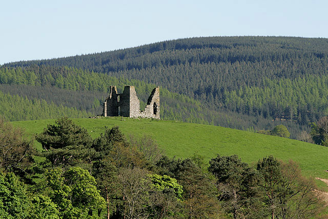
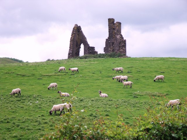
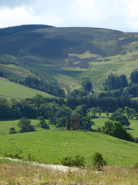
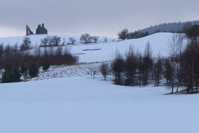
Horsburgh Castle

Horsburgh Castle, also known as Horsbrugh Castle or Horsbrugh Tower, is a ruined tower house castle by the River Tweed, on the A72 road from Peebles to...

Kirkburn, Scottish Borders

Kirkburn is a village on the B7062, close to Peebles and the River Tweed, in the Scottish Borders area of Scotland, at the edge of the Cardrona Forest...

Cardrona railway station

Cardrona railway station served the village of Cardrona, Scottish Borders, Scotland from 1864 to 1962 on the Peebles Railway. == History == The station...

Nearby Amenities

Located within 500m of 55.631842,-3.1498195
Kailzie
Naptan AtcoCode: 69001706
Naptan Bearing: N
Naptan BusStopType: CUS
Naptan CommonName: Kailzie
Naptan Indicator: At Farm
Naptan Landmark: Kailzie Home Farm
Naptan NaptanCode: 72798434
Naptan Street: B7062
Naptan Verified: no
Source: naptan_import
Lat/Long: 55.6340396/-3.1469249
Kailzie
Naptan AtcoCode: 69001707
Naptan Bearing: S
Naptan BusStopType: CUS
Naptan CommonName: Kailzie
Naptan Indicator: Opp Farm
Naptan Landmark: Kailzie Home Farm
Naptan NaptanCode: 72798435
Naptan Street: B7062
Naptan Verified: no
Source: naptan_import
Lat/Long: 55.6339616/-3.1466208
Power: pole
Lat/Long: 55.6334552/-3.1466905
Power: pole
Lat/Long: 55.6331698/-3.1463372
Power: pole
Lat/Long: 55.632777/-3.1458909
Power: pole
Lat/Long: 55.6324223/-3.1455059
Power: pole
Lat/Long: 55.6320665/-3.1451103
Power: pole
Lat/Long: 55.6323758/-3.1441986
Power: pole
Lat/Long: 55.631018/-3.1462293
Power: pole
Lat/Long: 55.6306479/-3.1465741
Power: pole
Lat/Long: 55.6302717/-3.1469591
Power: pole
Lat/Long: 55.629874/-3.1473526
Power: pole
Lat/Long: 55.6295134/-3.1477291
Power: pole
Lat/Long: 55.6315733/-3.1434773
Power: pole
Lat/Long: 55.6312413/-3.1430246
Power: pole
Lat/Long: 55.6309153/-3.1425867
Fountain
Lat/Long: 55.6346576/-3.1460793
Clock
Architect: A. Adie of Edinburgh
Display: sundial
Support: pedestal
Wikidata: Q17848812
Lat/Long: 55.6348647/-3.1450996
The data included in this document is from www.openstreetmap.org. The data is made available under ODbL.

Have you been to Craiglands Plantation?

Leave your review of Craiglands Plantation below (or comments, questions and feedback).