Cattal
Settlement in Yorkshire Harrogate
England
Cattal

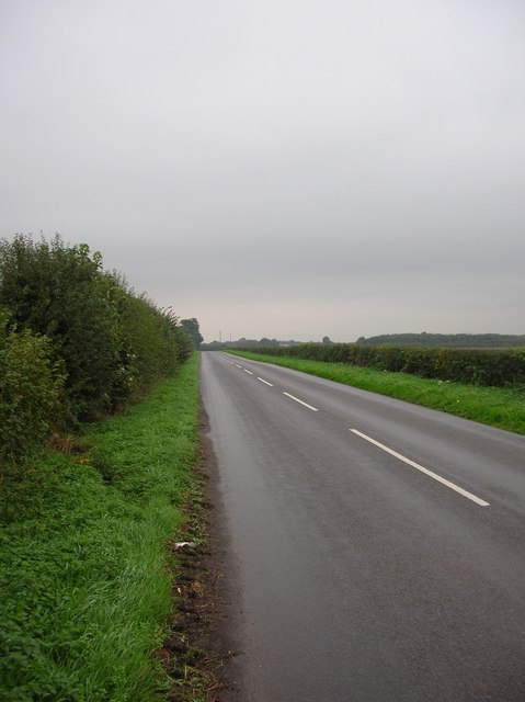
Cattal is a small village located in the Harrogate district of North Yorkshire, England. Situated approximately 10 miles west of the historic city of York, Cattal lies in the picturesque Vale of York, surrounded by rolling countryside and farmland.
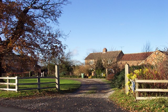
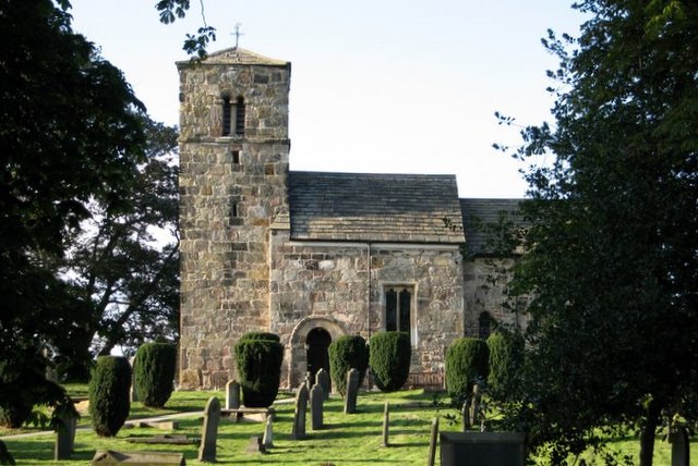
The village is known for its peaceful and rural setting, offering a tranquil escape from the hustle and bustle of city life. Its charming character is reflected in its traditional stone-built houses, many of which date back several centuries. Cattal also boasts a beautiful medieval church, St. Helen's, which stands as a landmark in the village.
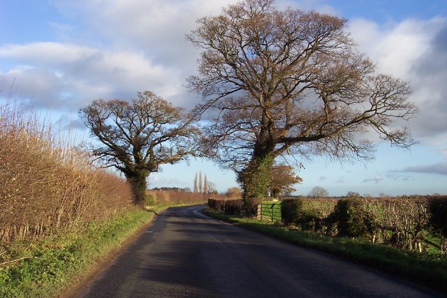
While Cattal may be small, it offers a surprising range of amenities and attractions. The village is home to a popular equestrian center, attracting horse enthusiasts from the surrounding areas. Additionally, Cattal is known for its scenic walking and cycling routes, with numerous trails meandering through the countryside.
For those seeking a taste of local culture, Cattal is within easy reach of several historic sites. The nearby city of York, with its iconic York Minster, stunning architecture, and rich history, is a must-visit destination. Other attractions in the area include the National Railway Museum and the Yorkshire Museum.
Overall, Cattal provides a unique blend of tranquility, natural beauty, and access to nearby attractions, making it an appealing destination for both residents and visitors seeking a slice of rural Yorkshire life.
If you have any feedback on the listing, please let us know in the comments section below.
Cattal Images
Images are sourced within 2km of 53.981969/-1.317085 or Grid Reference SE4454. Thanks to Geograph Open Source API. All images are credited.


Cattal is located at Grid Ref: SE4454 (Lat: 53.981969, Lng: -1.317085)
Division: West Riding
Administrative County: North Yorkshire
District: Harrogate
Police Authority: North Yorkshire
What 3 Words
///replayed.snacking.coconuts. Near Walton, West Yorkshire
Related Wikis
Cattal
Cattal is a village and civil parish in the Borough of Harrogate district of North Yorkshire, England, about 6 miles (9.7 km) east of Knaresborough, and...

Maltkiln
Maltkiln is a proposed new village development centred around Cattal railway station in North Yorkshire, England. The development is just south of the...

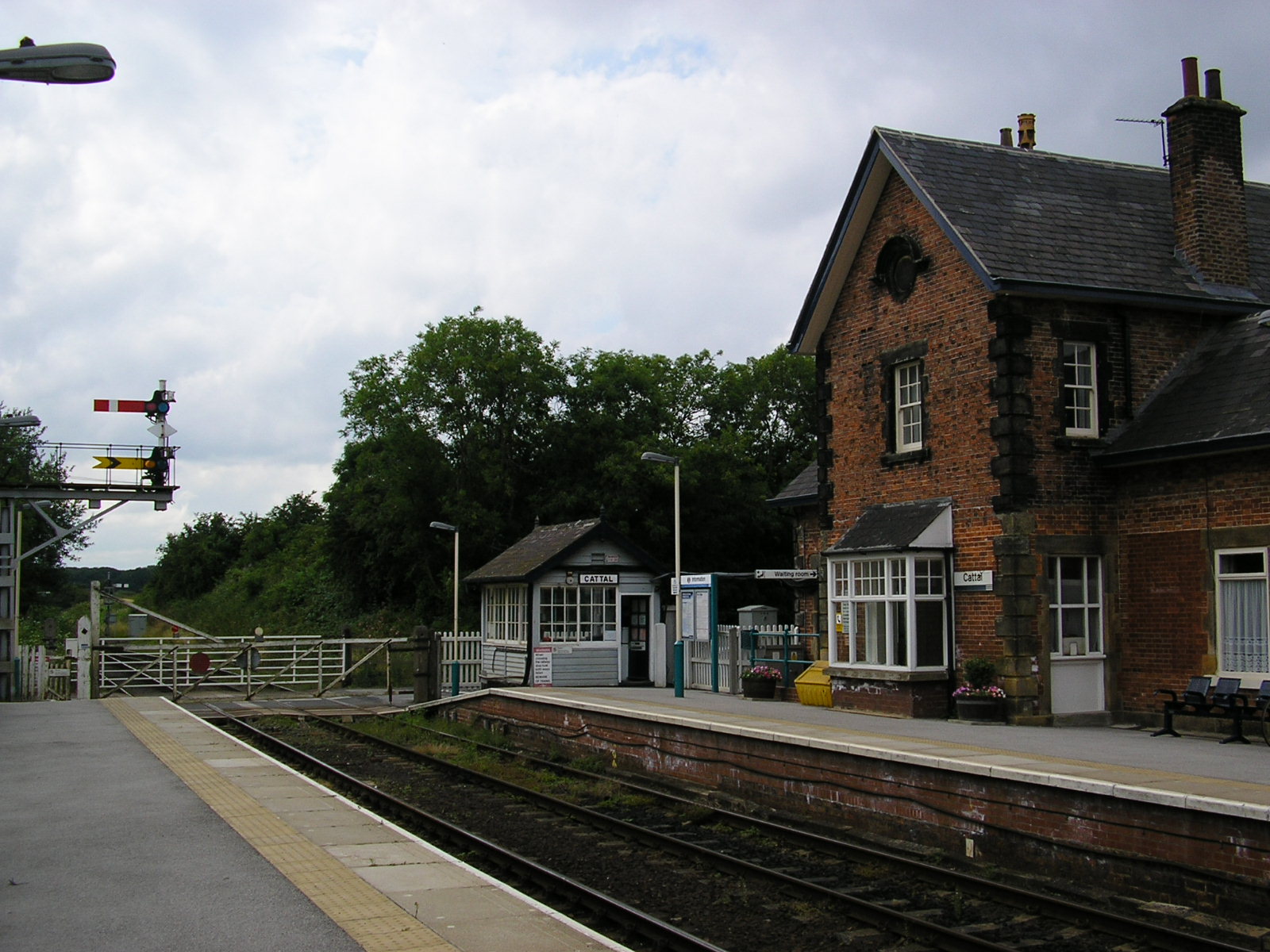
Cattal railway station
Cattal is a railway station on the Harrogate Line, which runs between Leeds and York via Harrogate. The station, situated 10+1⁄2 miles (17 km) west of...
St John the Baptist Church, Kirk Hammerton
St John the Baptist Church, Kirk Hammerton is a Grade I listed Church of England church located in the village of Kirk Hammerton, North Yorkshire, England...
Nearby Amenities
Located within 500m of 53.981969,-1.317085Have you been to Cattal?
Leave your review of Cattal below (or comments, questions and feedback).