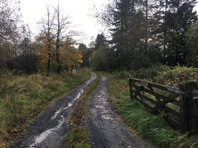
Heathery Plantation
Wood, Forest in Dumfriesshire
Scotland
Heathery Plantation
The requested URL returned error: 429 Too Many Requests
If you have any feedback on the listing, please let us know in the comments section below.
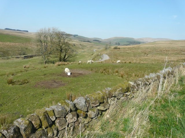
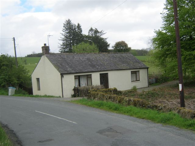
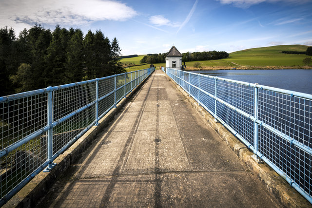
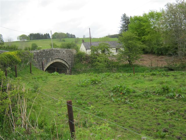
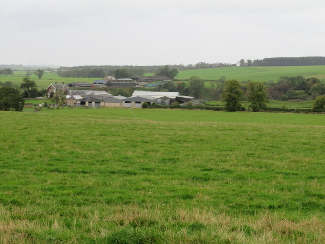
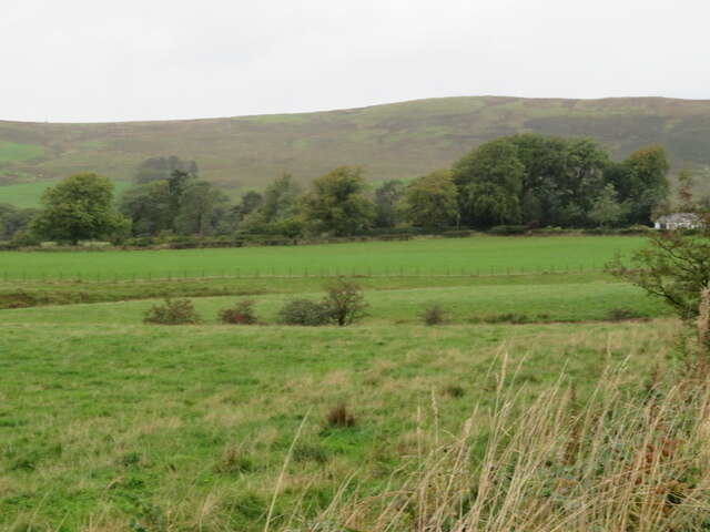
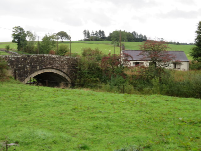
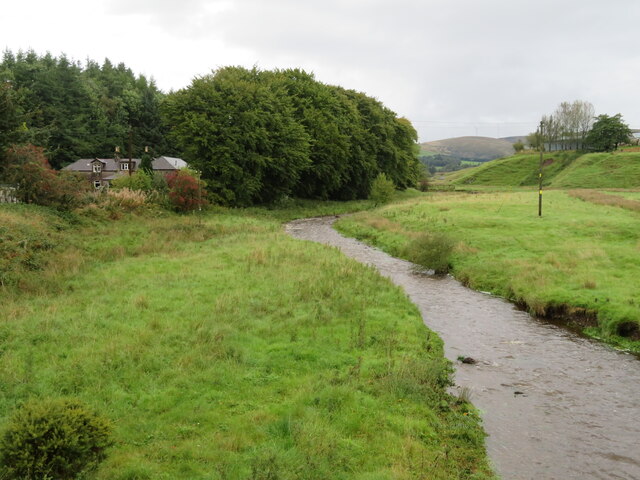
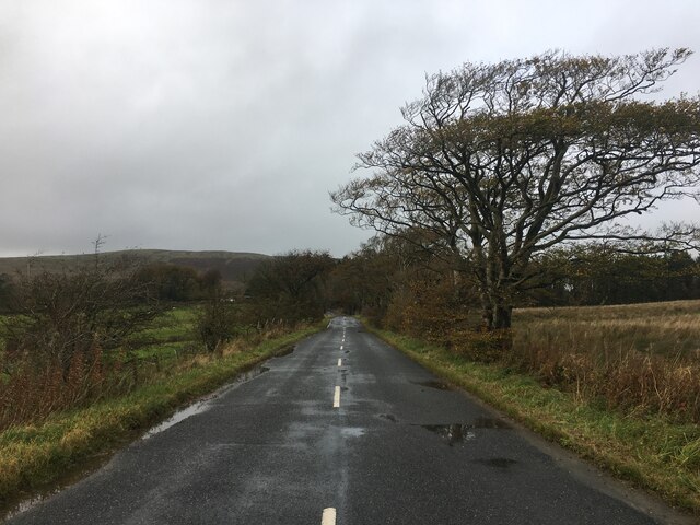
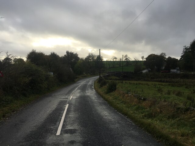
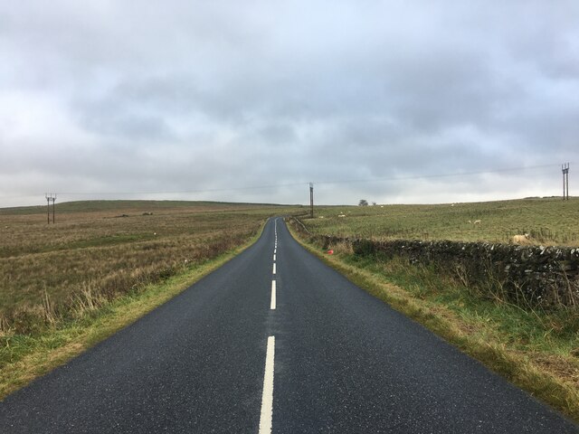
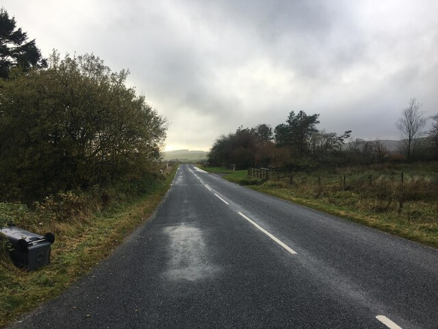
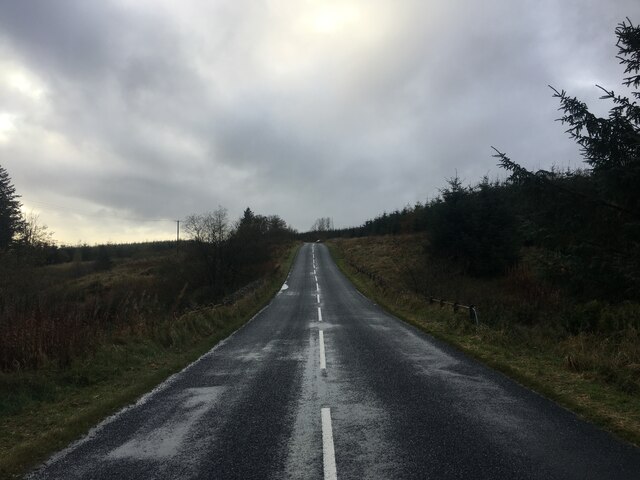
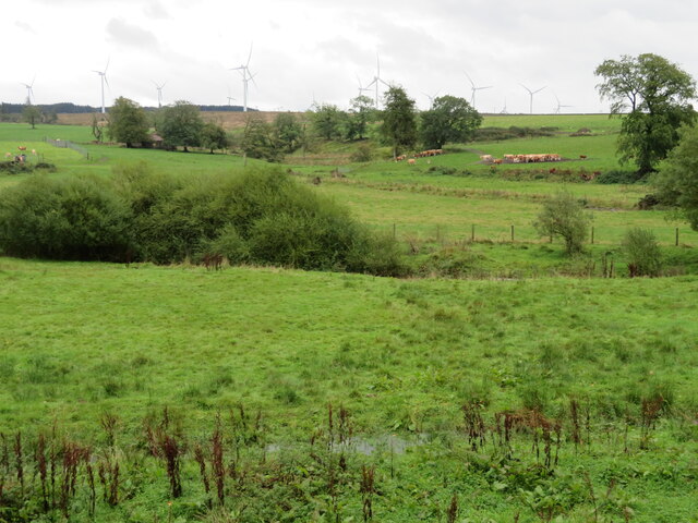
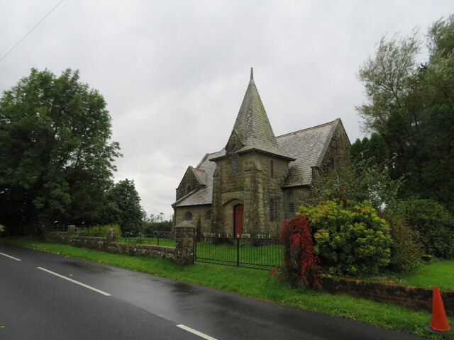
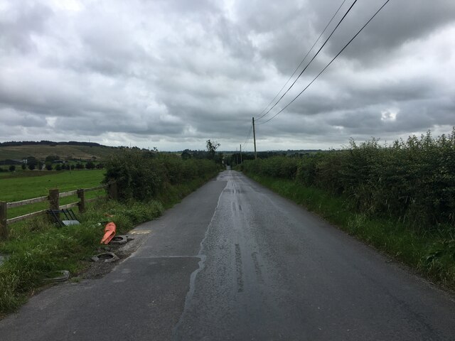
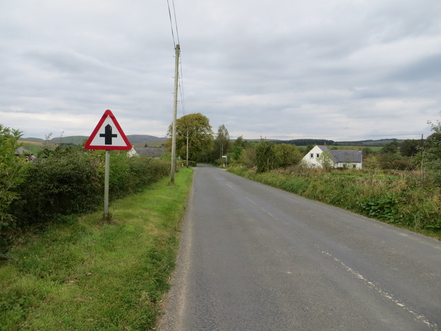
Heathery Plantation Images
Images are sourced within 2km of 55.113543/-3.1364499 or Grid Reference NY2780. Thanks to Geograph Open Source API. All images are credited.
Heathery Plantation is located at Grid Ref: NY2780 (Lat: 55.113543, Lng: -3.1364499)
Unitary Authority: Dumfries and Galloway
Police Authority: Dumfries and Galloway
What 3 Words
///speeded.openings.solutions. Near Langholm, Dumfries & Galloway
Nearby Locations
Related Wikis
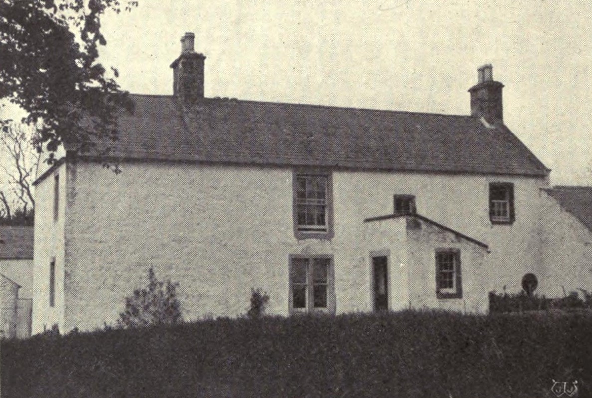
Scotsbrig
Scotsbrig is a farm near Ecclefechan, Dumfries and Galloway, Scotland, and a Category B listed building. Thomas Carlyle lived there with his family in...

Eaglesfield, Dumfries and Galloway
Eaglesfield is a village in south east Dumfriesshire in the local authority area of Dumfries and Galloway, Scotland. == History == Eaglesfield is of ancient...

Annandale and Eskdale
Annandale and Eskdale is a committee area in Dumfries and Galloway, Scotland. It covers the areas of Annandale and Eskdale, the straths of the River Annan...

Middlebie
Middlebie is a hamlet and parish in the historic county of Dumfriesshire in Dumfries and Galloway, south-west Scotland. It is approximately 2 miles (3...
Nearby Amenities
Located within 500m of 55.113543,-3.1364499Have you been to Heathery Plantation?
Leave your review of Heathery Plantation below (or comments, questions and feedback).