Catslip
Settlement in Oxfordshire South Oxfordshire
England
Catslip
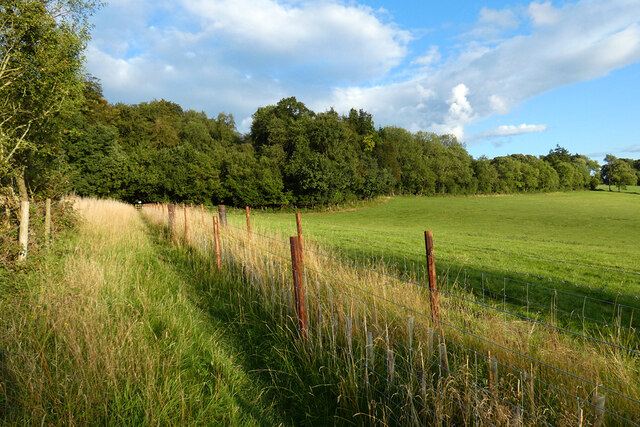
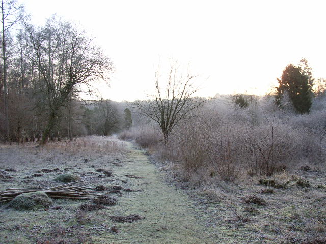
Catslip is a small village located in the county of Oxfordshire, England. Situated approximately 20 miles northwest of Oxford, Catslip lies in the picturesque Chiltern Hills, an Area of Outstanding Natural Beauty. The village is part of the civil parish of Lewknor and is surrounded by stunning countryside with rolling hills, lush green fields, and charming woodlands.
Despite its small size, Catslip has a rich history that dates back centuries. The village is named after the distinctive geological feature known as the "Catslip," a steep slope located nearby. This natural landmark has attracted visitors and hikers throughout the years, offering magnificent views of the surrounding countryside.
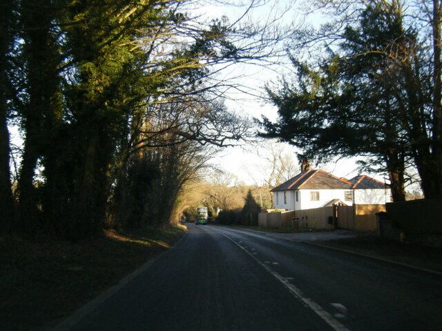
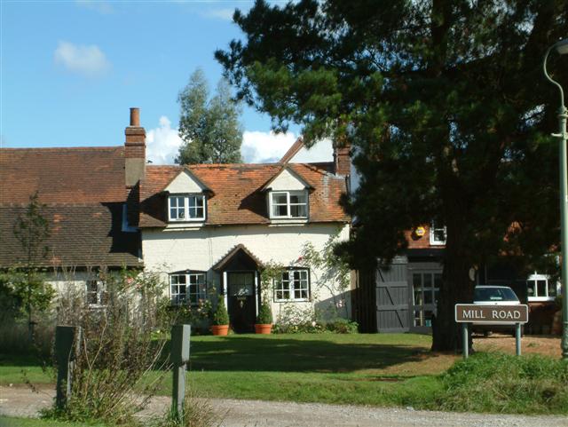
Catslip is primarily a residential area with a tight-knit community. The village is characterized by quaint cottages and traditional houses, often built with local materials such as flint and thatched roofs. The village also has a small church, St. Mary's, which adds to its historic charm.
Although Catslip is a peaceful and tranquil village, it benefits from its proximity to larger towns and cities. The village is conveniently located near the M40 motorway, providing easy access to Oxford, London, and Birmingham. This makes Catslip an attractive place to live for those seeking a rural lifestyle with the amenities of urban areas within reach.
Overall, Catslip offers a beautiful and idyllic setting for residents and visitors alike, with its stunning natural surroundings, rich history, and close-knit community.
If you have any feedback on the listing, please let us know in the comments section below.
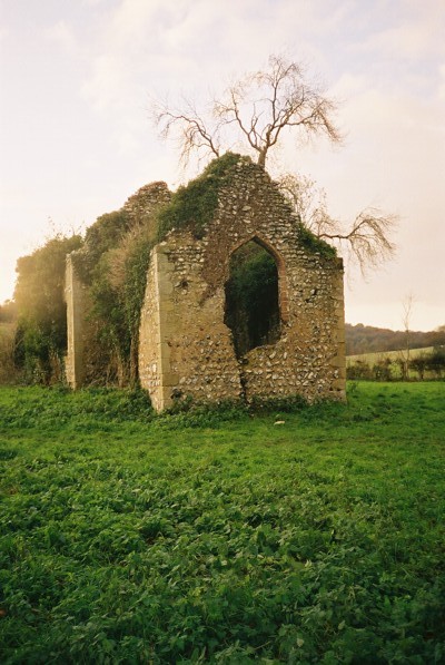
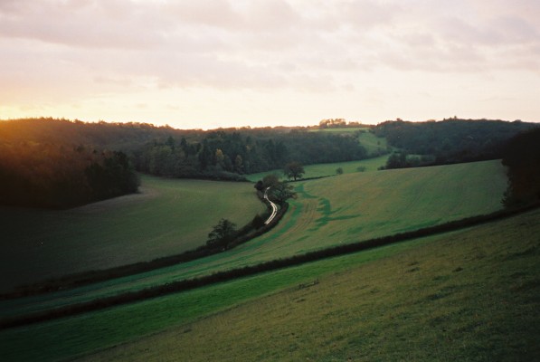
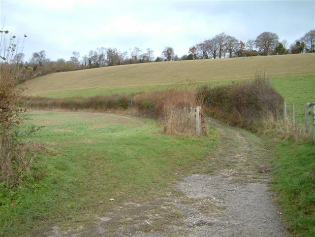
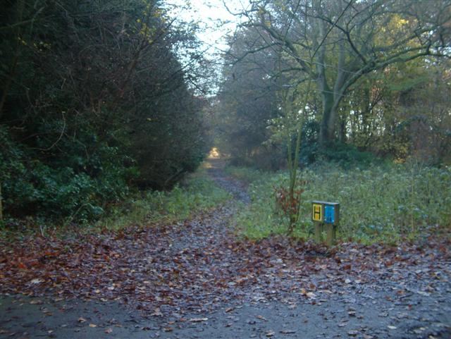
Catslip Images
Images are sourced within 2km of 51.572797/-0.980371 or Grid Reference SU7086. Thanks to Geograph Open Source API. All images are credited.


Catslip is located at Grid Ref: SU7086 (Lat: 51.572797, Lng: -0.980371)
Administrative County: Oxfordshire
District: South Oxfordshire
Police Authority: Thames Valley
What 3 Words
///outer.diplomats.treatable. Near Rotherfield Peppard, Oxfordshire
Nearby Locations
Related Wikis

Crocker End House
Crocker End House in Nettlebed in Henley-on-Thames, Oxfordshire, England is a spacious Victorian home built to replace Nettlebed's prosperous rectory in...

Nettlebed
Nettlebed is a village and civil parish in Oxfordshire in the Chiltern Hills about 4+1⁄2 miles (7 km) northwest of Henley-on-Thames and 6 miles (10 km...

Bix Bottom
Bix Bottom is a 102.3-hectare (253-acre) biological Site of Special Scientific Interest north-west of Henley-on-Thames in Oxfordshire. It is owned and...

Maidensgrove
Maidensgrove is a hamlet above the Stonor valley in the Chiltern Hills, adjacent to Russell's Water common. It is about 5 miles (8.0 km) northwest of...

Berrick Trench
Berrick Trench is a 2.1-hectare (5.2-acre) biological Site of Special Scientific Interest north of Nettlebed in Oxfordshire.This is an ancient semi-natural...
Highmoor, Oxfordshire
Highmoor is a village and civil parish in the Chiltern Hills in Oxfordshire, about 4 miles (6.4 km) west of Henley-on-Thames. The parish includes the hamlet...

Bix, Oxfordshire
Bix is a village in the civil parish of Bix and Assendon in South Oxfordshire, about 2.5 miles (4 km) northwest of Henley-on-Thames. The village is about...
Henley Rural District
Henley was a rural district in Oxfordshire, England from 1894 to 1974.It was named after the borough of Henley-on-Thames, which it surrounded on the west...
Nearby Amenities
Located within 500m of 51.572797,-0.980371Have you been to Catslip?
Leave your review of Catslip below (or comments, questions and feedback).