Crocker End
Settlement in Oxfordshire South Oxfordshire
England
Crocker End
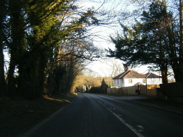
Crocker End is a small village located in Oxfordshire, England. Situated in the Chiltern Hills, it is nestled between the towns of Nettlebed and Watlington. With a population of around 200 residents, Crocker End exudes a tranquil and picturesque atmosphere.
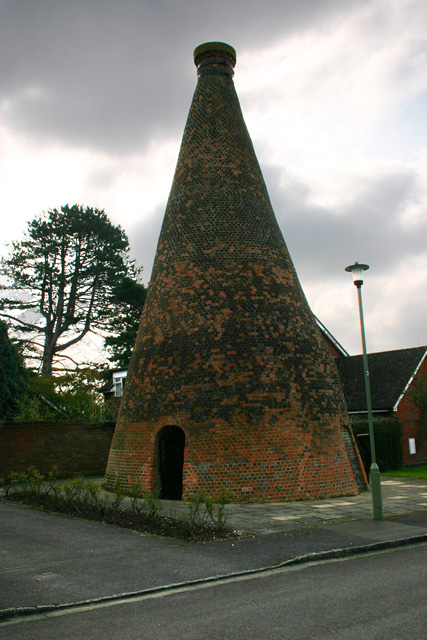
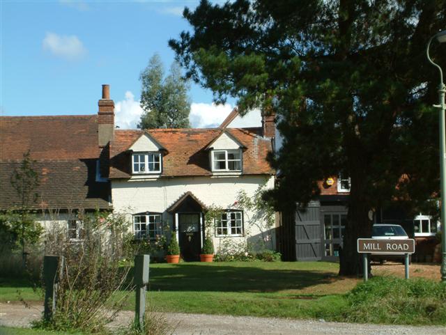
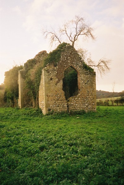
The village is known for its charming and well-preserved cottages that date back to the 17th and 18th centuries. The architecture reflects the traditional English countryside style, with thatched roofs and exposed timber frames. Crocker End's historical significance is also evident in the village's Grade II listed buildings, including the Church of St. Mary the Virgin, which dates back to the 13th century.
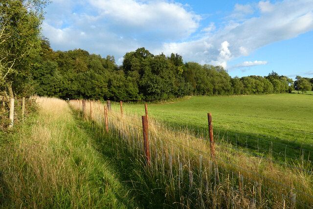
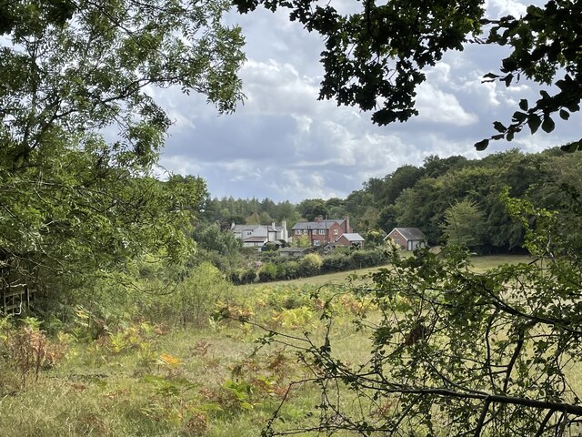
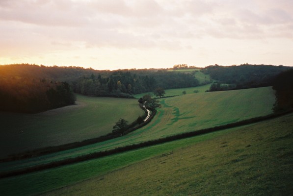
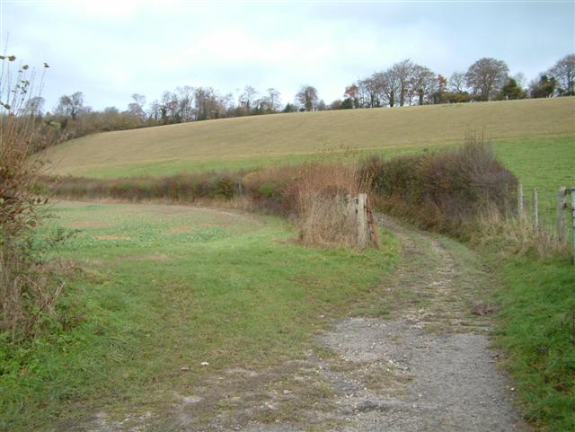
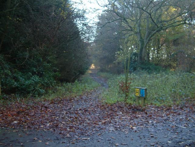
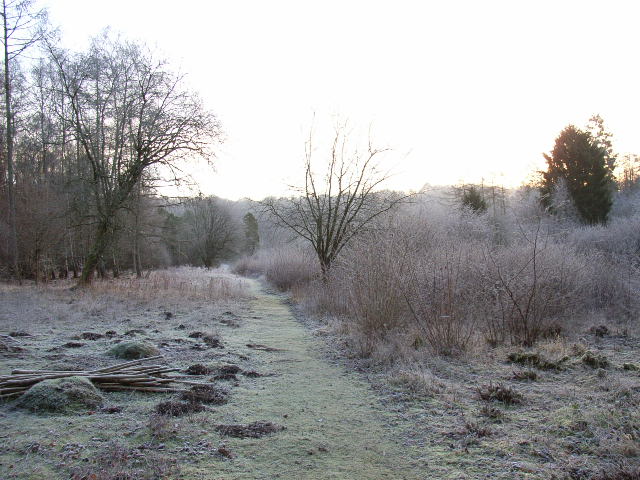
Surrounded by lush green fields and rolling hills, Crocker End offers breathtaking views of the countryside. It is a popular destination for nature lovers and outdoor enthusiasts who enjoy exploring the numerous footpaths and bridleways that crisscross the area. The village is also home to several small farms, adding to its rural charm.
Despite its small size, Crocker End benefits from its proximity to nearby towns and amenities. The village is conveniently located within a short drive of Henley-on-Thames and Wallingford, which offer a range of shops, restaurants, and entertainment options. Additionally, the nearby Chiltern Hills provide opportunities for outdoor activities such as hiking, cycling, and horse riding.
In summary, Crocker End is a delightful village in Oxfordshire that offers a peaceful retreat in the heart of the English countryside. Its historical architecture, natural beauty, and proximity to amenities make it an appealing destination for both residents and visitors alike.
If you have any feedback on the listing, please let us know in the comments section below.
Crocker End Images
Images are sourced within 2km of 51.575403/-0.980168 or Grid Reference SU7086. Thanks to Geograph Open Source API. All images are credited.


Crocker End is located at Grid Ref: SU7086 (Lat: 51.575403, Lng: -0.980168)
Administrative County: Oxfordshire
District: South Oxfordshire
Police Authority: Thames Valley
What 3 Words
///shop.finally.lamplight. Near Rotherfield Peppard, Oxfordshire
Nearby Locations
Related Wikis

Crocker End House
Crocker End House in Nettlebed in Henley-on-Thames, Oxfordshire, England is a spacious Victorian home built to replace Nettlebed's prosperous rectory in...

Nettlebed
Nettlebed is a village and civil parish in Oxfordshire in the Chiltern Hills about 4+1⁄2 miles (7 km) northwest of Henley-on-Thames and 6 miles (10 km...

Bix Bottom
Bix Bottom is a 102.3-hectare (253-acre) biological Site of Special Scientific Interest north-west of Henley-on-Thames in Oxfordshire. It is owned and...

Berrick Trench
Berrick Trench is a 2.1-hectare (5.2-acre) biological Site of Special Scientific Interest north of Nettlebed in Oxfordshire.This is an ancient semi-natural...

Maidensgrove
Maidensgrove is a hamlet above the Stonor valley in the Chiltern Hills, adjacent to Russell's Water common. It is about 5 miles (8.0 km) northwest of...
Highmoor, Oxfordshire
Highmoor is a village and civil parish in the Chiltern Hills in Oxfordshire, about 4 miles (6.4 km) west of Henley-on-Thames. The parish includes the hamlet...

Bix, Oxfordshire
Bix is a village in the civil parish of Bix and Assendon in South Oxfordshire, about 2.5 miles (4 km) northwest of Henley-on-Thames. The village is about...
Henley Rural District
Henley was a rural district in Oxfordshire, England from 1894 to 1974.It was named after the borough of Henley-on-Thames, which it surrounded on the west...
Nearby Amenities
Located within 500m of 51.575403,-0.980168Have you been to Crocker End?
Leave your review of Crocker End below (or comments, questions and feedback).