Jointure Wood

Wood, Forest in Morayshire

Scotland

Jointure Wood

Millennium milepost On route 1 of the National Cycle Network.  Thanks to the Spey Viaduct and a collection of minor roads you can avoid the ghastly A96 for some journeys.
The wide verges were made to improve visibility at a crossroads. <a href="https://www.geograph.org.uk/photo/2099957">NJ2863 : Crossroads near Innesmill</a>
Millennium milepost Credit: Richard Webb

Jointure Wood is a stunning forest located in Morayshire, Scotland. Covering an area of approximately 500 acres, this wood is known for its breathtaking natural beauty and diverse wildlife. The wood is situated just a few miles away from the town of Elgin, making it easily accessible to both locals and tourists.

Jointure Wood is primarily composed of broadleaf trees, including oak, beech, and birch. These trees create a vibrant and colorful landscape, particularly during the autumn months when the leaves change to vibrant shades of red, orange, and gold. The wood also features several walking trails, allowing visitors to immerse themselves in its tranquil ambiance while exploring its vast beauty.

Wildlife enthusiasts will be delighted to discover the abundance of animal species that call Jointure Wood their home. The wood is home to a variety of birds, such as woodpeckers, thrushes, and owls, making it a prime spot for birdwatching activities. Squirrels, deer, and foxes are also commonly spotted within the wood, adding to its natural charm.

Jointure Wood is not only a haven for nature lovers but also offers recreational opportunities for outdoor enthusiasts. The well-maintained walking trails provide opportunities for hiking, jogging, and cycling. Additionally, the wood features picnic areas where visitors can relax and enjoy a meal amidst the serene surroundings.

Overall, Jointure Wood in Morayshire is a picturesque forest that offers a peaceful retreat from bustling city life. With its stunning scenery, diverse wildlife, and recreational activities, it is a must-visit destination for nature enthusiasts and those seeking a tranquil escape.

If you have any feedback on the listing, please let us know in the comments section below.

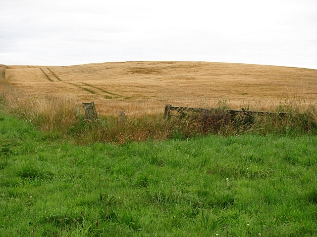
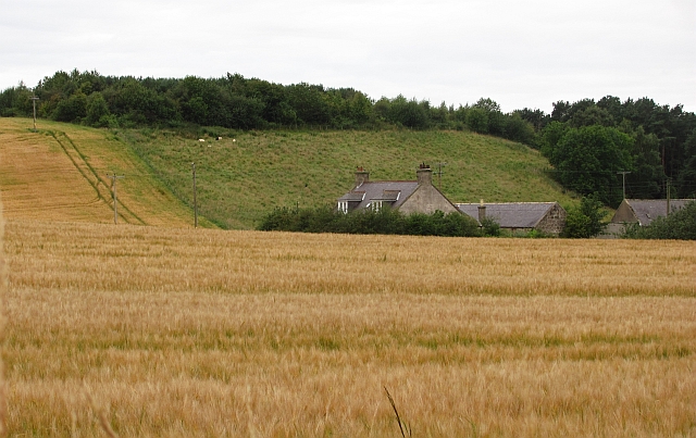
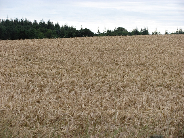
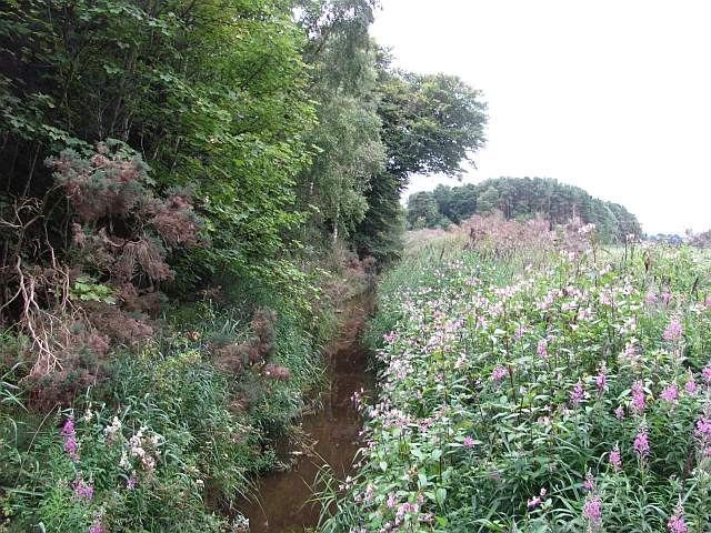
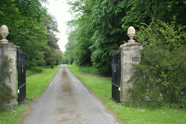
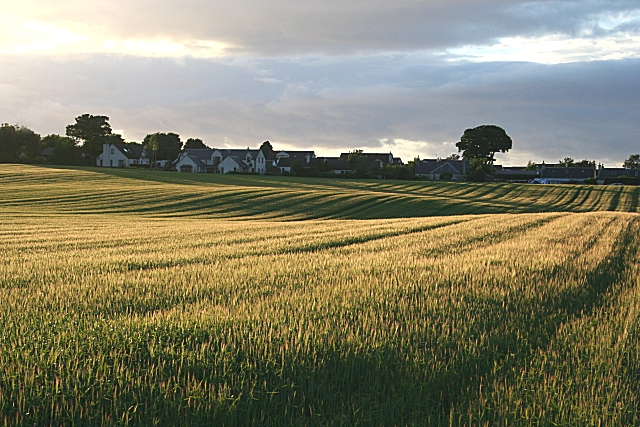
Jointure Wood Images

Images are sourced within 2km of 57.663547/-3.2247771 or Grid Reference NJ2764. Thanks to Geograph Open Source API. All images are credited.

Millennium milepost On route 1 of the National Cycle Network.  Thanks to the Spey Viaduct and a collection of minor roads you can avoid the ghastly A96 for some journeys.
The wide verges were made to improve visibility at a crossroads. <a href="https://www.geograph.org.uk/photo/2099957">NJ2863 : Crossroads near Innesmill</a>
Millennium milepost
On route 1 of the National Cycle Network. Thanks to the Spey Viaduct and a collection of minor roads you can avoid the ghastly A96 for some journeys. The wide verges were made to improve visibility at a crossroads. NJ2863 : Crossroads near Innesmill
Remains of a stone circle A stone circle on the edge of a barley field.
Remains of a stone circle
A stone circle on the edge of a barley field.
Minor road near Urquhart A96 dodging route used by the National Cycle Network.
Minor road near Urquhart
A96 dodging route used by the National Cycle Network.
Barley, Innes Another wide verge designed to improve visibility at a crossroads. It would have been taken from the field growing barley in the background.
Barley, Innes
Another wide verge designed to improve visibility at a crossroads. It would have been taken from the field growing barley in the background.
Barley, Nether Meft Nether Meft is on the other side of the barley field.
Barley, Nether Meft
Nether Meft is on the other side of the barley field.
Field of barley Barley, usually grown for malting is the big crop in this area, as with all of low lying land along the East of Scotland and northeastern England.
Field of barley
Barley, usually grown for malting is the big crop in this area, as with all of low lying land along the East of Scotland and northeastern England.
Longhill Burn Most watercourses in the low lying land behind the dunes have been turned into straight and deep drains. This one is infested with Himalayan Balsam, a rapidly spreading invasive weed.
Longhill Burn
Most watercourses in the low lying land behind the dunes have been turned into straight and deep drains. This one is infested with Himalayan Balsam, a rapidly spreading invasive weed.
Roadside woodland A small oakwood beside the B9103.
Roadside woodland
A small oakwood beside the B9103.
River Lossie Looking downstream from the bridge at Calcots.
River Lossie
Looking downstream from the bridge at Calcots.
Innes House Built between 1640 and 1651, Innes House is situated amidst 3000 acres of decideous and coniferous woodlands. The estate is well managed with spectacular gardens and a true feeling of yester days.
Innes House
Built between 1640 and 1651, Innes House is situated amidst 3000 acres of decideous and coniferous woodlands. The estate is well managed with spectacular gardens and a true feeling of yester days.
That's what I would call an Oak! This Lucombe Oak was planted in the grounds of Innes House in 1744, a year prior to "The Forty Five" or the Jacobite Rebellion.
That's what I would call an Oak!
This Lucombe Oak was planted in the grounds of Innes House in 1744, a year prior to "The Forty Five" or the Jacobite Rebellion.
Old, old, Larch by Innes House Planted in the early 18th Century this larch tree is awesome to behold with its cumbersome horizontal boughs and giant girth.
Old, old, Larch by Innes House
Planted in the early 18th Century this larch tree is awesome to behold with its cumbersome horizontal boughs and giant girth.
Walled in the garden for over 200 years! What stories this Lucombe Oak could tell; planted during the Jacobite Rising of 1745 it has thrived in the grounds of Innes House ever since.
Walled in the garden for over 200 years!
What stories this Lucombe Oak could tell; planted during the Jacobite Rising of 1745 it has thrived in the grounds of Innes House ever since.
Innes House viewed from the avenue.
Gateway to Innes House
A Lucombe Oak by Innes House planted in 1744 This magnificent specimen was planted in 1744, the year before the Jacobite Rebellion.
A Lucombe Oak by Innes House planted in 1744
This magnificent specimen was planted in 1744, the year before the Jacobite Rebellion.
The Lucombe Oak of Innes House
No ordinary tree At a glance it's just another tree but how wrong you are! This is the Handkerchief or Pocket handkerchief tree or Dove tree which was once the Holy Grail of exotic flora. The Handkerchief tree (Davidiaceae involucrata) was first seen in China in 1868 and introduced to Europe in 1904.
No ordinary tree
At a glance it's just another tree but how wrong you are! This is the Handkerchief or Pocket handkerchief tree or Dove tree which was once the Holy Grail of exotic flora. The Handkerchief tree (Davidiaceae involucrata) was first seen in China in 1868 and introduced to Europe in 1904.
Show me another place!

Jointure Wood is located at Grid Ref: NJ2764 (Lat: 57.663547, Lng: -3.2247771)

Unitary Authority: Moray

Police Authority: North East

What 3 Words

///servicing.beaten.perky. Near Lhanbryde, Moray

Nearby Locations

Innes House Jointure Wood

Related Wikis

RAF Milltown

Royal Air Force Milltown or RAF Milltown is a former Royal Air Force station located south of the Moray Firth and 3.6 miles (5.8 km) north east of Elgin...

Calcots railway station

Calcots railway station was a railway station in the parish of St Andrews-Lhanbryd, Moray. The railway station was opened by the Great North of Scotland...

Urquhart railway station

Urquhart railway station was a railway station serving the village of Urquhart, parish of Urquhart, Moray. The railway station was opened by the Great...

Urquhart, Moray

Urquhart ( ; Scottish Gaelic: Urchard) is a small village in Moray, Scotland. It is approximately 5 miles (8 km) east of Elgin, between the villages of...

Nearby Amenities

Located within 500m of 57.663547,-3.2247771
Power: pole
Lat/Long: 57.6638083/-3.2329145
Power: pole
Lat/Long: 57.6630221/-3.23226
Power: pole
Lat/Long: 57.6627655/-3.2312202
Power: pole
Lat/Long: 57.6625052/-3.2301758
Power: pole
Lat/Long: 57.6622347/-3.2291384
Power: pole
Lat/Long: 57.661968/-3.2281058
Power: pole
Lat/Long: 57.6616987/-3.2270424
Power: pole
Lat/Long: 57.6608999/-3.2239729
Power: pole
Lat/Long: 57.6605914/-3.2228694
Power: pole
Lat/Long: 57.6602855/-3.22178
Power: pole
Lat/Long: 57.6603639/-3.2244998
Power: pole
Lat/Long: 57.659857/-3.224963
Power: pole
Lat/Long: 57.6593324/-3.2254592
Power: pole
Lat/Long: 57.6599708/-3.2206647
The data included in this document is from www.openstreetmap.org. The data is made available under ODbL.

Have you been to Jointure Wood?

Leave your review of Jointure Wood below (or comments, questions and feedback).