Hairyholes Plantation

Wood, Forest in Fife

Scotland

Hairyholes Plantation

Minor road to East Lomond car park
Minor road to East Lomond car park Credit: Steven Brown

Hairyholes Plantation is a picturesque woodland located in Fife, Scotland. Encompassing an area of approximately 100 acres, it is nestled in the heart of the region, near the village of Auchtertool. The plantation is renowned for its dense, ancient wood, offering a tranquil and enchanting escape from the bustling city life.

The woodland is primarily composed of deciduous trees, including oak, beech, and birch, which create a vibrant tapestry of colors throughout the seasons. The rich biodiversity of Hairyholes Plantation makes it a haven for various wildlife species, such as red squirrels, roe deer, and a myriad of bird species.

Visitors to the plantation can explore a network of well-maintained footpaths that wind through the woodland, providing opportunities for leisurely walks or more adventurous hikes. The trails lead visitors through sun-dappled glades, across babbling streams, and up gentle slopes, offering breathtaking panoramic views of the surrounding countryside.

Hairyholes Plantation is also a popular destination for nature enthusiasts and photographers, who can capture the beauty of wildflowers, moss-covered rocks, and ancient trees. The plantation's tranquility and seclusion make it an ideal spot for those seeking solace and a connection with nature.

Managed by local authorities, the woodland is well-preserved, ensuring that it remains an ecological treasure for generations to come. Hairyholes Plantation invites visitors to immerse themselves in the serenity of nature and experience the wonders of Fife's woodlands.

If you have any feedback on the listing, please let us know in the comments section below.

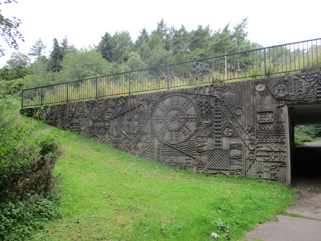
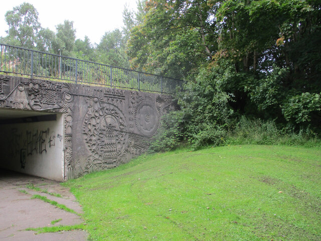
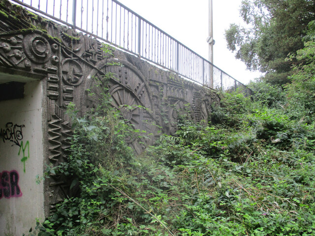
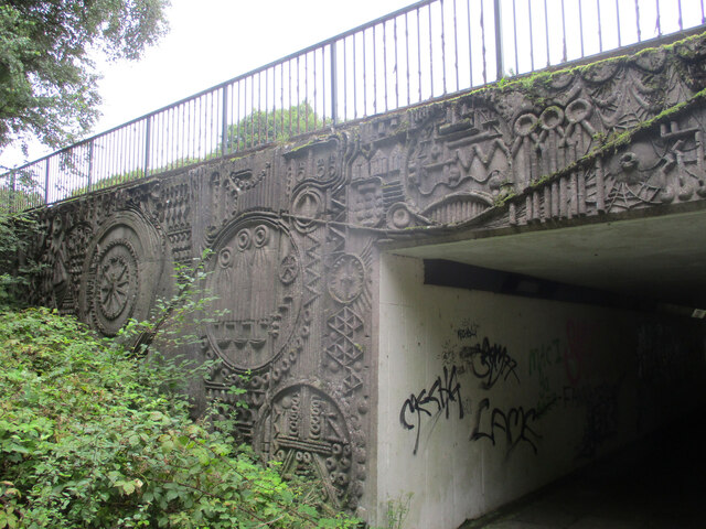
Hairyholes Plantation Images

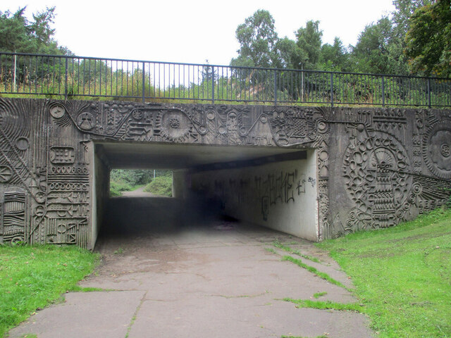
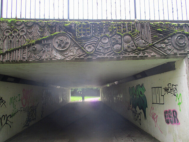
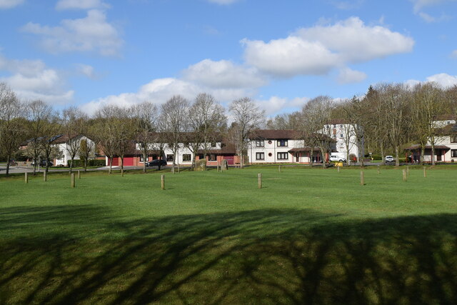
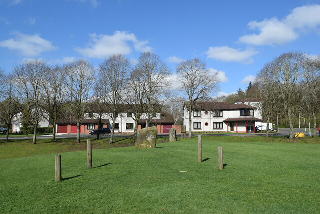
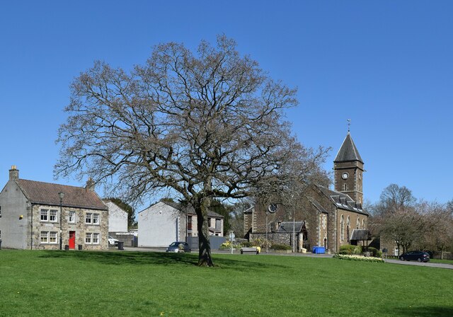
Images are sourced within 2km of 56.221434/-3.1885585 or Grid Reference NO2603. Thanks to Geograph Open Source API. All images are credited.

Minor road to East Lomond car park
Western Avenue underpass artworks The west side of the south portal, with the A92 Western Avenue above.
Western Avenue underpass artworks
The west side of the south portal, with the A92 Western Avenue above.
Western Avenue underpass artworks The east side of the south portal, with the A92 Western Avenue above.
Western Avenue underpass artworks
The east side of the south portal, with the A92 Western Avenue above.
Western Avenue underpass artworks The west side of the north portal, with the A92 Western Avenue above.
Western Avenue underpass artworks
The west side of the north portal, with the A92 Western Avenue above.
Western Avenue underpass artworks The east side of the north portal, with the A92 Western Avenue above.
Western Avenue underpass artworks
The east side of the north portal, with the A92 Western Avenue above.
Western Avenue underpass artworks The south portal, with the A92 Western Avenue above.
Western Avenue underpass artworks
The south portal, with the A92 Western Avenue above.
Western Avenue underpass artworks The north portal, with the A92 Western Avenue above.
Western Avenue underpass artworks
The north portal, with the A92 Western Avenue above.
Balfarg henge In an unlikely location in a housing estate in the new town of Glenrothes (<span class="nowrap"><a title="https://en.wikipedia.org/wiki/Glenrothes" rel="nofollow ugc noopener" href="https://en.wikipedia.org/wiki/Glenrothes">Link</a><img style="margin-left:2px;" alt="External link" title="External link - shift click to open in new window" src="https://s1.geograph.org.uk/img/external.png" width="10" height="10"/></span> ) we see a restored wood and stone henge, the extent of which discovered during excavations in 1977.    It is circle No. 147 in Burl's guide, which he describes as a "megalithic imperative" to visit.
Balfarg henge
In an unlikely location in a housing estate in the new town of Glenrothes (LinkExternal link ) we see a restored wood and stone henge, the extent of which discovered during excavations in 1977. It is circle No. 147 in Burl's guide, which he describes as a "megalithic imperative" to visit.
Balfarg henge (close up) The two remaining stones and wooden markers showing the supposed positions of others.   Scheduled monument Sm2184:  <span class="nowrap"><a title="https://portal.historicenvironment.scot/designation/SM2184" rel="nofollow ugc noopener" href="https://portal.historicenvironment.scot/designation/SM2184">Link</a><img style="margin-left:2px;" alt="External link" title="External link - shift click to open in new window" src="https://s1.geograph.org.uk/img/external.png" width="10" height="10"/></span> .
Balfarg henge (close up)
The two remaining stones and wooden markers showing the supposed positions of others. Scheduled monument Sm2184: LinkExternal link .
Greenside scene, Leslie A very attractive public green space at the east end of the village.  From left-to-right we see: 20 Greenside, a C-listed cottage from ca. 1824: LB37288 <span class="nowrap"><a title="https://portal.historicenvironment.scot/designation/LB37288" rel="nofollow ugc noopener" href="https://portal.historicenvironment.scot/designation/LB37288">Link</a><img style="margin-left:2px;" alt="External link" title="External link - shift click to open in new window" src="https://s1.geograph.org.uk/img/external.png" width="10" height="10"/></span> ; note the 'bipartite' doubled windows; just to the left of the tree and in front of the car, the bull stone (C-listed LB37289 <span class="nowrap"><a title="https://portal.historicenvironment.scot/designation/LB37289" rel="nofollow ugc noopener" href="https://portal.historicenvironment.scot/designation/LB37289">Link</a><img style="margin-left:2px;" alt="External link" title="External link - shift click to open in new window" src="https://s1.geograph.org.uk/img/external.png" width="10" height="10"/></span> ), of 17th Century or earlier, where a bull was tethered in the savage 'sport' of bull baiting; Christ's Kirk on the Green (Leslie Parish Church), dating from 1869 and replacing earlier churches on the site (B-listed LB37291 <span class="nowrap"><a title="https://portal.historicenvironment.scot/designation/LB37291" rel="nofollow ugc noopener" href="https://portal.historicenvironment.scot/designation/LB37291">Link</a><img style="margin-left:2px;" alt="External link" title="External link - shift click to open in new window" src="https://s1.geograph.org.uk/img/external.png" width="10" height="10"/></span> ).  The kirk is now out of use.
Greenside scene, Leslie
A very attractive public green space at the east end of the village. From left-to-right we see: 20 Greenside, a C-listed cottage from ca. 1824: LB37288 LinkExternal link ; note the 'bipartite' doubled windows; just to the left of the tree and in front of the car, the bull stone (C-listed LB37289 LinkExternal link ), of 17th Century or earlier, where a bull was tethered in the savage 'sport' of bull baiting; Christ's Kirk on the Green (Leslie Parish Church), dating from 1869 and replacing earlier churches on the site (B-listed LB37291 LinkExternal link ). The kirk is now out of use.
Heavy Plant Crossing, Glenrothes. Giant flowers by a roundabout on the north-western approaches to the new town, with an appropriate red sign beside them. Glenrothes New Town was conceived as a new settlement for former Fife miners, then it took in overspill population from Glasgow and Edinburgh.
Heavy Plant Crossing, Glenrothes.
Giant flowers by a roundabout on the north-western approaches to the new town, with an appropriate red sign beside them. Glenrothes New Town was conceived as a new settlement for former Fife miners, then it took in overspill population from Glasgow and Edinburgh.
Christ's Kirk on the Green, Leslie This historic church lays claim (as do many others) to be the original named in King James's famous poem "Christ's Kirk on the Green".
Christ's Kirk on the Green, Leslie
This historic church lays claim (as do many others) to be the original named in King James's famous poem "Christ's Kirk on the Green".
Giant Irises Originally a feature of the 1988 Glasgow Garden Festival, these grotesquely large and colourful artificial flowers now decorate the Leslie roundabout in Glenrothes
Giant Irises
Originally a feature of the 1988 Glasgow Garden Festival, these grotesquely large and colourful artificial flowers now decorate the Leslie roundabout in Glenrothes
Coul Reservoir Central feature of a small nature reserve on the northern outskirts of Glenrothes
Coul Reservoir
Central feature of a small nature reserve on the northern outskirts of Glenrothes
Purin Den Burn flowing east from the Lomond Hills through a small wooded glen known as Purin Den
Purin Den
Burn flowing east from the Lomond Hills through a small wooded glen known as Purin Den
Roundabout with standing stones Coul Roundabout. one of many in the Glenrothes road system, has been made quite distinctive through the erection of several impressive standing stones.
Roundabout with standing stones
Coul Roundabout. one of many in the Glenrothes road system, has been made quite distinctive through the erection of several impressive standing stones.
Horseplay Two horses playing in a meadow between trees make an idyllic country scene, yet are within 100 metres of the busy built-up area of Glenrothes new town.
Horseplay
Two horses playing in a meadow between trees make an idyllic country scene, yet are within 100 metres of the busy built-up area of Glenrothes new town.
Pittillock Farm Most of the square can be seen in this view taken from East Lomond Hill. The prominent farm buildings in the centre are part of Pittillock Farm.
Pittillock Farm
Most of the square can be seen in this view taken from East Lomond Hill. The prominent farm buildings in the centre are part of Pittillock Farm.
Show me another place!

Hairyholes Plantation is located at Grid Ref: NO2603 (Lat: 56.221434, Lng: -3.1885585)

Unitary Authority: Fife

Police Authority: Fife

What 3 Words

///majors.farmer.headings. Near Glenrothes, Fife

Related Wikis

Collydean

Collydean is a precinct or neighbourhood in Glenrothes, Fife. Collydean has been built up in a number of phases. Early housing has been built into staggered...

Pitcairn House

Pitcairn House is a ruined 17th century laird's house, located in the modern Collydean residential area of Glenrothes, in Fife, Scotland. Pitcairn House...

Pitcoudie

Pitcoudie is a housing area in North Glenrothes in the Kingdom of Fife, Scotland - comprising 396 terraced and semi-detached houses. Traditionally, a pitcoudie...

Glenrothes Hospital

Glenrothes Hospital is a health facility in Lodge Rise, Glenrothes, Scotland. It is managed by NHS Fife. == History == The facility was built in the early...

Nearby Amenities

Located within 500m of 56.221434,-3.1885585
Barrier: stile
Foot: yes
Material: stone
Source: Survey 2015
Step Count: 4
Stile: stepover
Lat/Long: 56.2228529/-3.1863391
Recycling
Location: overground
Recycling Beverage Cartons: yes
Recycling Cans: yes
Recycling Glass Bottles: yes
Recycling Plastic: no
Recycling Plastic Bottles: yes
Recycling Plastic Packaging: no
Recycling Type: container
Lat/Long: 56.2184185/-3.1846412
Board Type: nature
Check Date: 2021-06-30
Information: board
Tourism: information
Lat/Long: 56.2184548/-3.1845761
Barrier: cycle_barrier
Bicycle: yes
Cycle Barrier: double
Cycle Barrier Installation: fixed
Foot: yes
Motor Vehicle: no
Lat/Long: 56.2184739/-3.184633
Bench
Source: Survey Feb 2019
Lat/Long: 56.2176114/-3.1893639
Clock
Check Date: 2023-03-21
Display: sundial
Lat/Long: 56.219012/-3.1926193
Stone circle
Tourism: attraction
Lat/Long: 56.2185491/-3.188668
Toilets
Fee: no
Lat/Long: 56.2179918/-3.1841774
Material: wood
Power: pole
Lat/Long: 56.2176048/-3.1851822
Material: wood
Power: pole
Lat/Long: 56.218185/-3.1856462
Material: wood
Power: pole
Lat/Long: 56.218862/-3.1857643
Material: wood
Power: pole
Lat/Long: 56.2195481/-3.1858742
Material: wood
Power: pole
Lat/Long: 56.2202788/-3.1859896
Material: wood
Power: pole
Lat/Long: 56.2210051/-3.1861156
Material: wood
Power: pole
Lat/Long: 56.2217641/-3.186239
Material: wood
Power: pole
Lat/Long: 56.2225724/-3.1863597
Material: wood
Power: pole
Lat/Long: 56.2232956/-3.1858313
Material: wood
Power: pole
Lat/Long: 56.2240561/-3.1852546
Material: wood
Power: pole
Lat/Long: 56.2247838/-3.1847289
Material: wood
Power: pole
Lat/Long: 56.219514/-3.1945292
Material: wood
Power: pole
Lat/Long: 56.2197353/-3.1933283
Material: wood
Power: pole
Lat/Long: 56.2197065/-3.1922552
Material: wood
Power: pole
Lat/Long: 56.2196692/-3.191076
Material: wood
Power: pole
Lat/Long: 56.2196355/-3.1899141
Material: wood
Power: pole
Lat/Long: 56.2196114/-3.1887067
Material: wood
Power: pole
Lat/Long: 56.2195862/-3.1877526
Material: wood
Power: pole
Lat/Long: 56.2195573/-3.1867962
The data included in this document is from www.openstreetmap.org. The data is made available under ODbL.

Have you been to Hairyholes Plantation?

Leave your review of Hairyholes Plantation below (or comments, questions and feedback).