Coul Reservoir

Lake, Pool, Pond, Freshwater Marsh in Fife

Scotland

Coul Reservoir

Small copse, Kirkforthar
Small copse, Kirkforthar Credit: Mike Pennington

Coul Reservoir is a freshwater body located in the county of Fife, Scotland. Covering an area of approximately 15 hectares, it is classified as a reservoir, which is a man-made lake used for the purpose of storing water. The reservoir was created in the early 19th century to supply water to nearby towns and villages.

Surrounded by picturesque countryside, Coul Reservoir offers a serene and tranquil environment for visitors to enjoy. The reservoir is nestled within a natural landscape, with rolling hills and lush greenery adding to its aesthetic appeal. The calm waters of the reservoir provide a perfect spot for various recreational activities such as fishing, boating, and wildlife watching.

The reservoir is home to a diverse range of freshwater species, making it a popular destination for anglers. Common fish species found in Coul Reservoir include brown trout, rainbow trout, and perch. Fishing permits can be obtained, allowing visitors to test their skills and try their luck at catching these fish.

Apart from its recreational value, Coul Reservoir also serves as an important habitat for various bird species. The surrounding wetlands and marshes attract a wide variety of waterfowl, including ducks, swans, and herons. Birdwatching enthusiasts can spot and observe these feathered creatures in their natural habitat.

Coul Reservoir is easily accessible, with ample parking spaces and well-maintained walking paths around its perimeter. This makes it an ideal location for a leisurely stroll or a picnic amidst nature's beauty. Whether it is for outdoor activities or a peaceful retreat into nature, Coul Reservoir offers a refreshing experience for visitors of all ages.

If you have any feedback on the listing, please let us know in the comments section below.

Coul Reservoir Images

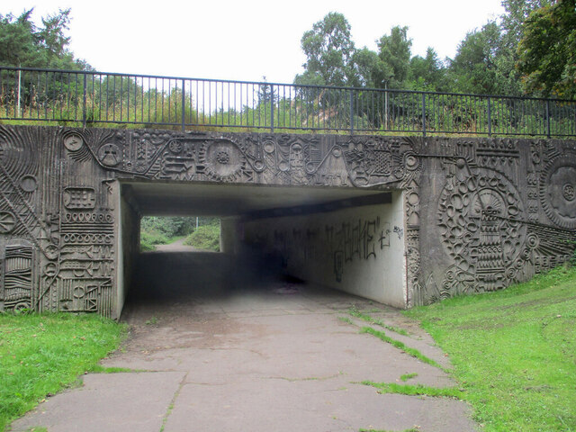
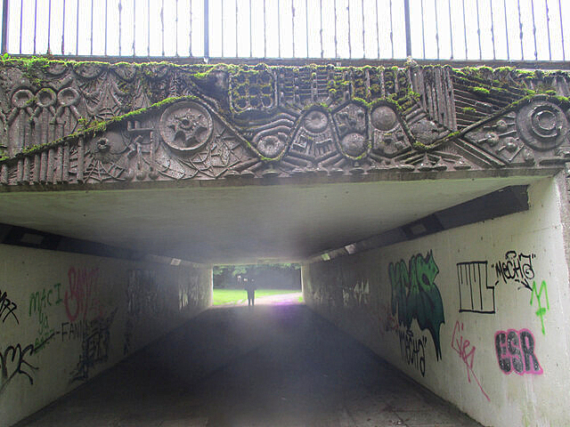
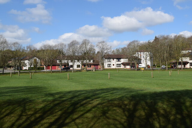
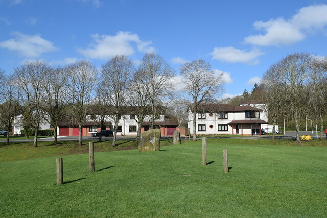
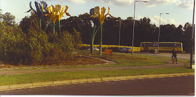
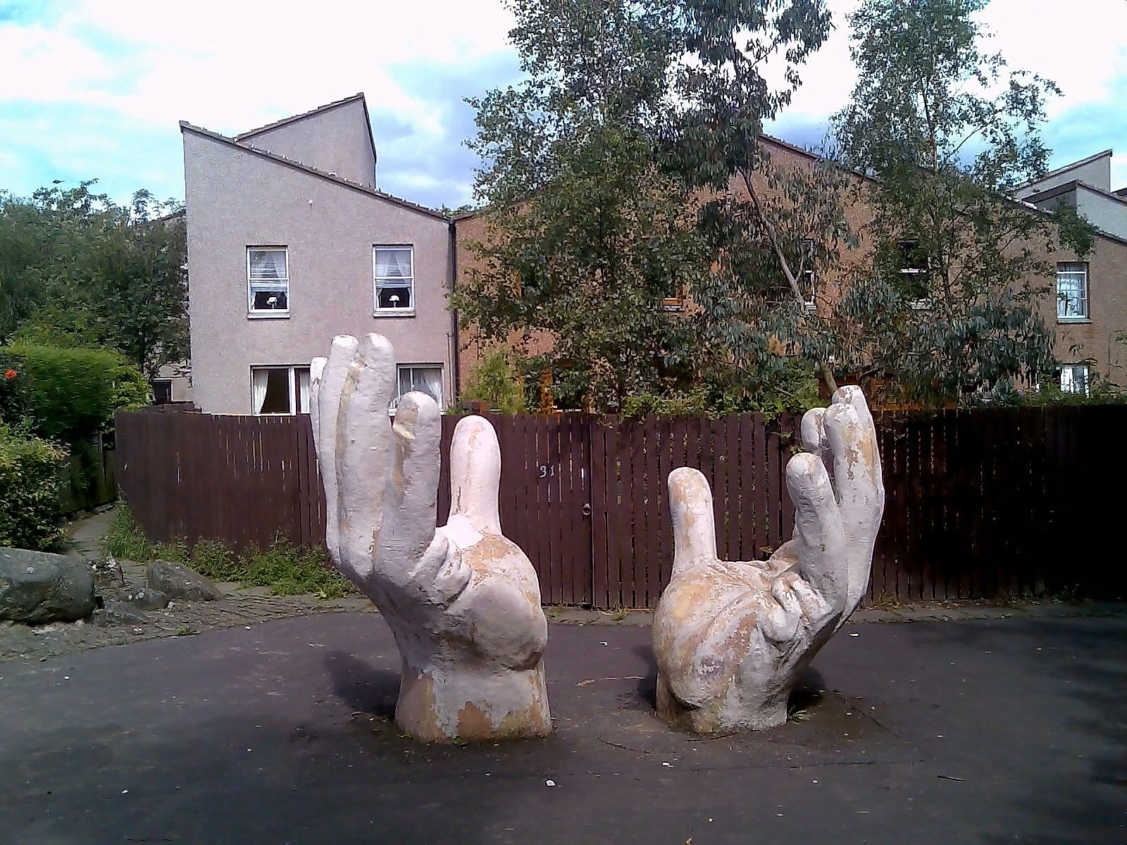
Images are sourced within 2km of 56.2215/-3.1798519 or Grid Reference NO2603. Thanks to Geograph Open Source API. All images are credited.

Small copse, Kirkforthar
Old road and A92 at Gateside
A912 towards Falkland
Farm road to Drums Farm
Minor road to East Lomond car park
Western Avenue underpass artworks The west side of the south portal, with the A92 Western Avenue above.
Western Avenue underpass artworks
The west side of the south portal, with the A92 Western Avenue above.
Western Avenue underpass artworks The east side of the south portal, with the A92 Western Avenue above.
Western Avenue underpass artworks
The east side of the south portal, with the A92 Western Avenue above.
Western Avenue underpass artworks The west side of the north portal, with the A92 Western Avenue above.
Western Avenue underpass artworks
The west side of the north portal, with the A92 Western Avenue above.
Western Avenue underpass artworks The east side of the north portal, with the A92 Western Avenue above.
Western Avenue underpass artworks
The east side of the north portal, with the A92 Western Avenue above.
Western Avenue underpass artworks The south portal, with the A92 Western Avenue above.
Western Avenue underpass artworks
The south portal, with the A92 Western Avenue above.
Western Avenue underpass artworks The north portal, with the A92 Western Avenue above.
Western Avenue underpass artworks
The north portal, with the A92 Western Avenue above.
Balfarg henge In an unlikely location in a housing estate in the new town of Glenrothes (<span class="nowrap"><a title="https://en.wikipedia.org/wiki/Glenrothes" rel="nofollow ugc noopener" href="https://en.wikipedia.org/wiki/Glenrothes">Link</a><img style="margin-left:2px;" alt="External link" title="External link - shift click to open in new window" src="https://s1.geograph.org.uk/img/external.png" width="10" height="10"/></span> ) we see a restored wood and stone henge, the extent of which discovered during excavations in 1977.    It is circle No. 147 in Burl's guide, which he describes as a "megalithic imperative" to visit.
Balfarg henge
In an unlikely location in a housing estate in the new town of Glenrothes (LinkExternal link ) we see a restored wood and stone henge, the extent of which discovered during excavations in 1977. It is circle No. 147 in Burl's guide, which he describes as a "megalithic imperative" to visit.
Balfarg henge (close up) The two remaining stones and wooden markers showing the supposed positions of others.   Scheduled monument Sm2184:  <span class="nowrap"><a title="https://portal.historicenvironment.scot/designation/SM2184" rel="nofollow ugc noopener" href="https://portal.historicenvironment.scot/designation/SM2184">Link</a><img style="margin-left:2px;" alt="External link" title="External link - shift click to open in new window" src="https://s1.geograph.org.uk/img/external.png" width="10" height="10"/></span> .
Balfarg henge (close up)
The two remaining stones and wooden markers showing the supposed positions of others. Scheduled monument Sm2184: LinkExternal link .
Heavy Plant Crossing, Glenrothes. Giant flowers by a roundabout on the north-western approaches to the new town, with an appropriate red sign beside them. Glenrothes New Town was conceived as a new settlement for former Fife miners, then it took in overspill population from Glasgow and Edinburgh.
Heavy Plant Crossing, Glenrothes.
Giant flowers by a roundabout on the north-western approaches to the new town, with an appropriate red sign beside them. Glenrothes New Town was conceived as a new settlement for former Fife miners, then it took in overspill population from Glasgow and Edinburgh.
Giant Irises Originally a feature of the 1988 Glasgow Garden Festival, these grotesquely large and colourful artificial flowers now decorate the Leslie roundabout in Glenrothes
Giant Irises
Originally a feature of the 1988 Glasgow Garden Festival, these grotesquely large and colourful artificial flowers now decorate the Leslie roundabout in Glenrothes
Balbirnie stone circle This small stone circle originally dates from between 4000 to 1500 BC. Unfortunately this one dates from 1970/71 when it was moved from its original site when the Glenrothes to New Inn road was made into a dual carriageway.
Balbirnie stone circle
This small stone circle originally dates from between 4000 to 1500 BC. Unfortunately this one dates from 1970/71 when it was moved from its original site when the Glenrothes to New Inn road was made into a dual carriageway.
Horse track by Balbirnie One of several bridleways through the woodlands around the policies of Balbirnie
Horse track by Balbirnie
One of several bridleways through the woodlands around the policies of Balbirnie
Cadham, Glenrothes Cadham. Some of the older houses in this area over run by ever expanding Glenrothes
Cadham, Glenrothes
Cadham. Some of the older houses in this area over run by ever expanding Glenrothes
Show me another place!

Coul Reservoir is located at Grid Ref: NO2603 (Lat: 56.2215, Lng: -3.1798519)

Unitary Authority: Fife

Police Authority: Fife

What 3 Words

///beyond.forehand.royally. Near Glenrothes, Fife

Related Wikis

Collydean

Collydean is a precinct or neighbourhood in Glenrothes, Fife. Collydean has been built up in a number of phases. Early housing has been built into staggered...

Pitcairn House

Pitcairn House is a ruined 17th century laird's house, located in the modern Collydean residential area of Glenrothes, in Fife, Scotland. Pitcairn House...

Pitcoudie

Pitcoudie is a housing area in North Glenrothes in the Kingdom of Fife, Scotland - comprising 396 terraced and semi-detached houses. Traditionally, a pitcoudie...

Balfarg

Balfarg is a prehistoric monument complex in Glenrothes, Fife, Scotland. It is protected as a scheduled monument. With the development of Glenrothes new...

Nearby Amenities

Located within 500m of 56.2215,-3.1798519
Bus Stop
Wilmington Drive
Bench: no
Bin: no
Bus: yes
Lit: no
Naptan AtcoCode: 6500K0973
Naptan NaptanCode: 34329849
Public Transport: platform
Shelter: yes
Tactile Paving: no
Lat/Long: 56.2171526/-3.1816127
Tourism: picnic_site
Lat/Long: 56.2198621/-3.1787059
Barrier: kissing_gate
Bicycle: yes
Foot: yes
Source: Survey 2015
Lat/Long: 56.2197087/-3.1776601
Barrier: kissing_gate
Bicycle: yes
Lat/Long: 56.2197761/-3.1778951
Barrier: stile
Foot: yes
Material: stone
Source: Survey 2015
Step Count: 4
Stile: stepover
Lat/Long: 56.2228529/-3.1863391
Tourism: viewpoint
Lat/Long: 56.2202844/-3.1789563
Recycling
Location: overground
Recycling Beverage Cartons: yes
Recycling Cans: yes
Recycling Glass Bottles: yes
Recycling Plastic: no
Recycling Plastic Bottles: yes
Recycling Plastic Packaging: no
Recycling Type: container
Lat/Long: 56.2184185/-3.1846412
Board Type: nature
Check Date: 2021-06-30
Information: board
Tourism: information
Lat/Long: 56.2184548/-3.1845761
Barrier: cycle_barrier
Bicycle: yes
Cycle Barrier: double
Cycle Barrier Installation: fixed
Foot: yes
Motor Vehicle: no
Lat/Long: 56.2184739/-3.184633
Generator Method: photovoltaic
Generator Output Electricity: yes
Generator Source: solar
Generator Type: solar_photovoltaic_panel
Power: generator
Lat/Long: 56.219052/-3.173162
Toilets
Fee: no
Lat/Long: 56.2179918/-3.1841774
Bench
Backrest: no
Lat/Long: 56.2213329/-3.1774728
Material: wood
Power: pole
Lat/Long: 56.218862/-3.1857643
Material: wood
Power: pole
Lat/Long: 56.2195481/-3.1858742
Material: wood
Power: pole
Lat/Long: 56.2202788/-3.1859896
Material: wood
Power: pole
Lat/Long: 56.2210051/-3.1861156
Material: wood
Power: pole
Lat/Long: 56.2217641/-3.186239
Material: wood
Power: pole
Lat/Long: 56.2225724/-3.1863597
Material: wood
Power: pole
Lat/Long: 56.2232956/-3.1858313
Material: wood
Power: pole
Lat/Long: 56.2240561/-3.1852546
Material: wood
Power: pole
Lat/Long: 56.2247838/-3.1847289
Material: wood
Power: pole
Lat/Long: 56.2195573/-3.1867962
Marker: pipeline
Utility: gas
Lat/Long: 56.2173938/-3.1791445
Marker: pipeline
Utility: gas
Lat/Long: 56.2174018/-3.1788374
Addr Housenumber: 25
Addr Street: Tanna Drive
Entrance: yes
Lat/Long: 56.21834/-3.1783928
Addr Housenumber: 22
Addr Street: Tanna Drive
Entrance: yes
Lat/Long: 56.2185393/-3.1774441
Addr Housenumber: 23
Addr Street: Tanna Drive
Entrance: yes
Lat/Long: 56.2183345/-3.1781844
Addr Housenumber: 3
Addr Street: Calder Court
Entrance: yes
Lat/Long: 56.2191233/-3.1779753
Addr Housenumber: 4
Addr Street: Calder Court
Entrance: yes
Lat/Long: 56.2190495/-3.1775358
Addr Housenumber: 24
Addr Street: Tanna Drive
Entrance: yes
Lat/Long: 56.2186301/-3.1779806
Addr Housenumber: 21
Addr Street: Tanna Drive
Entrance: yes
Lat/Long: 56.2183222/-3.1779611
Addr Housenumber: 19
Addr Street: Tanna Drive
Entrance: yes
Lat/Long: 56.2183199/-3.1777281
Addr Housenumber: 1
Addr Street: Calder Court
Entrance: yes
Lat/Long: 56.2189122/-3.1780328
Addr Housenumber: 2
Addr Street: Calder Court
Entrance: yes
Lat/Long: 56.2188438/-3.1775338
Addr Housenumber: 20
Addr Street: Tanna Drive
Entrance: yes
Lat/Long: 56.2185812/-3.177075
The data included in this document is from www.openstreetmap.org. The data is made available under ODbL.

Have you been to Coul Reservoir?

Leave your review of Coul Reservoir below (or comments, questions and feedback).