Woodhead
Wood, Forest in Fife
Scotland
Woodhead
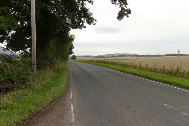
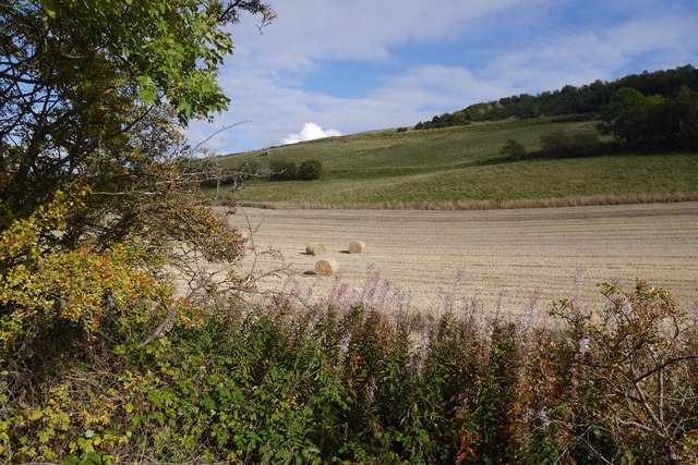
Woodhead is a small village located in the region of Fife, Scotland. Situated within a picturesque setting, the village derives its name from its historic association with woodlands and forests. Nestled amidst rolling hills and lush greenery, Woodhead offers a tranquil and idyllic environment for residents and visitors alike.
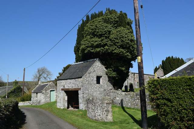
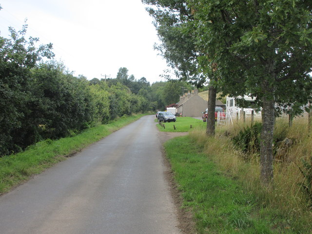
The village is characterized by its charming rural architecture, with traditional stone houses dotting the landscape. The community is tight-knit and friendly, fostering a sense of warmth and unity among its inhabitants. The village is home to a small population, primarily engaged in agriculture and forestry-related activities.
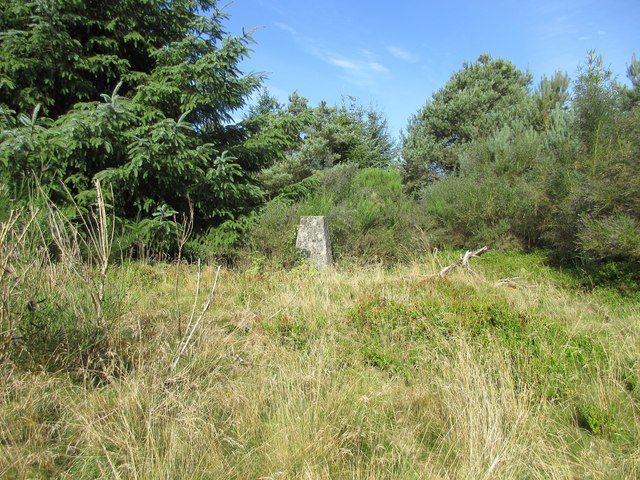
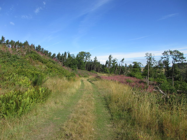
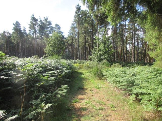
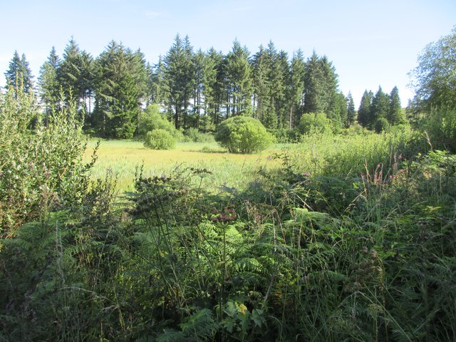
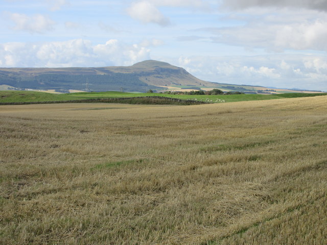
Woodhead boasts an abundance of natural beauty, with the surrounding forests providing opportunities for outdoor enthusiasts. Residents and visitors can explore the woodland trails and enjoy leisurely walks or adventurous hikes. The area is also a haven for birdwatchers, as numerous species of birds can be spotted within the lush foliage.
Despite its rural setting, Woodhead offers essential amenities to cater to the needs of its residents. A local grocery store provides everyday necessities, while a charming village pub serves as a meeting point for locals and visitors to socialize and unwind.
Woodhead's close proximity to nearby towns and cities allows for easy access to additional services and recreational activities. The village is well-connected by road networks, ensuring convenient travel options for those wishing to explore the wider Fife region.
In summary, Woodhead is a serene village nestled within the natural beauty of Fife, offering a peaceful and charming retreat for those seeking a rural escape.
If you have any feedback on the listing, please let us know in the comments section below.
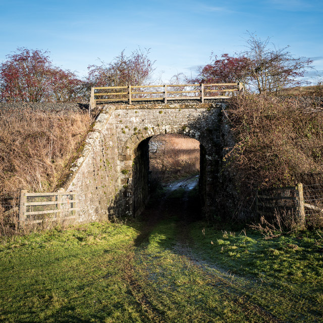
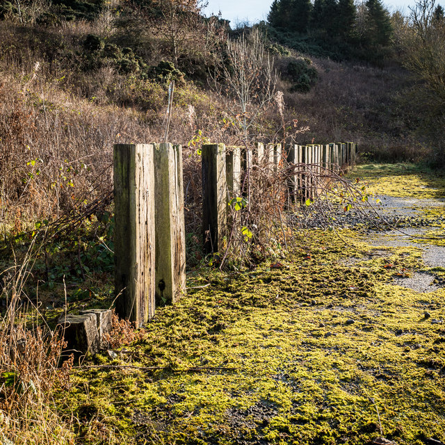
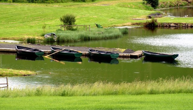
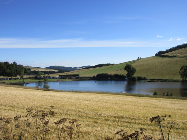
Woodhead Images
Images are sourced within 2km of 56.316365/-3.1947075 or Grid Reference NO2614. Thanks to Geograph Open Source API. All images are credited.
Woodhead is located at Grid Ref: NO2614 (Lat: 56.316365, Lng: -3.1947075)
Unitary Authority: Fife
Police Authority: Fife
What 3 Words
///resettle.cheat.campfires. Near Auchtermuchty, Fife
Nearby Locations
Related Wikis

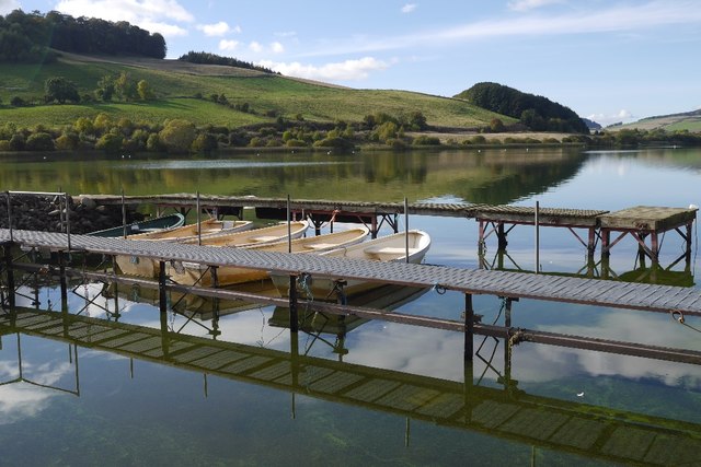
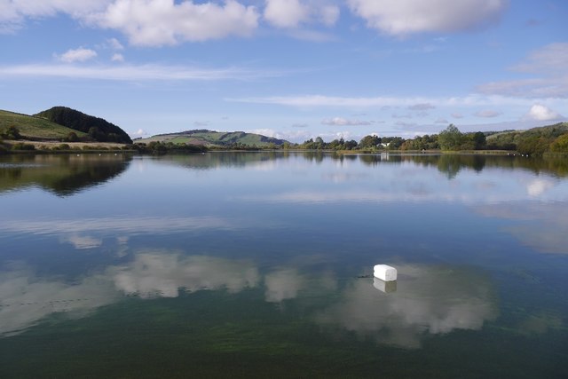
Lindores Loch
Lindores Loch is a freshwater loch, situated in North Fife in the Parish of Abdie, in the Central Belt of Scotland. The Loch has for many years been used...

Cairnie Hill
Cairnie Hill lies at the eastern end of the Ochil Hills, above the village of Collessie Scotland. It is the highest point of a small upland area between...

Lindores (E&NR) railway station
Lindores (E&NR) railway station was a temporary terminus that served the village of Lindores, Fife, Scotland in 1847 on the Edinburgh and Northern Railway...
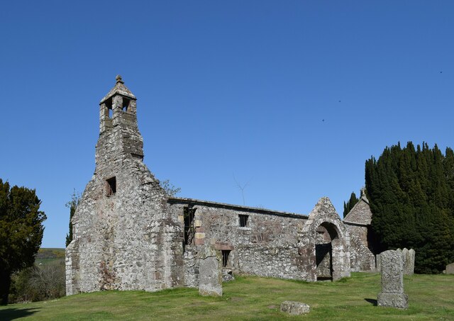
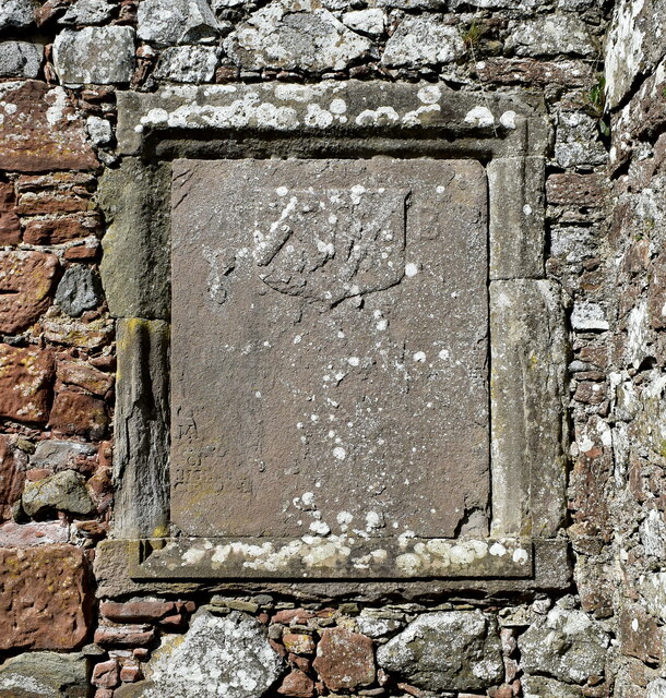
Abdie stone
The Abdie stone is a Class I Pictish stone that stands in Abdie Churchyard, Lindores, Fife, Scotland. == Location == The stone originally stood on the...
Nearby Amenities
Located within 500m of 56.316365,-3.1947075Have you been to Woodhead?
Leave your review of Woodhead below (or comments, questions and feedback).