Airswood Moss
Wood, Forest in Dumfriesshire
Scotland
Airswood Moss
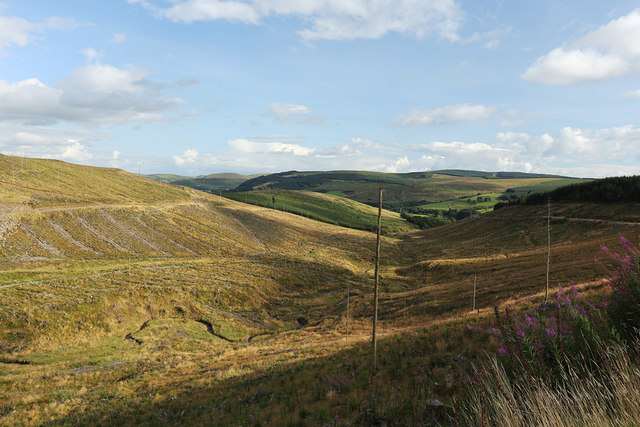
Airswood Moss is a picturesque woodland area located in Dumfriesshire, Scotland. Covering an expansive area, it is known for its dense and diverse vegetation, making it a haven for nature enthusiasts and hikers alike. The Moss is situated in a low-lying region, characterized by its wet and boggy terrain, which adds to the unique charm of this woodland.
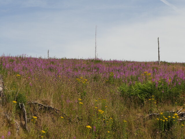
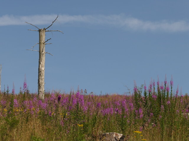
The woodland is predominantly composed of a variety of tree species, including Scots pine, birch, and oak, which form a dense canopy overhead. The forest floor is covered with a rich carpet of mosses, ferns, and wildflowers, creating a vibrant and colorful undergrowth. These lush surroundings provide a habitat for a wide range of wildlife, from small mammals like voles and shrews to a diverse bird population that includes species such as woodpeckers and owls.
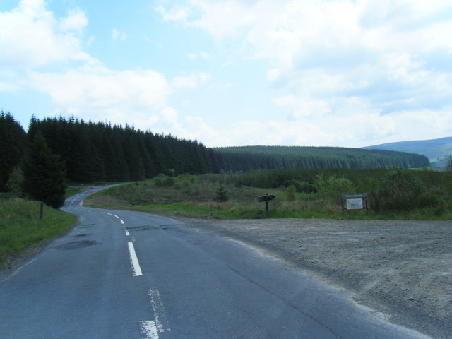
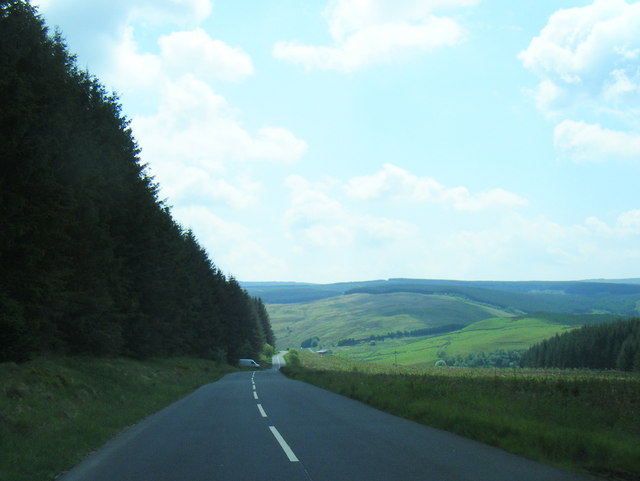
Airswood Moss is crisscrossed by several well-maintained trails, offering visitors the opportunity to explore its natural beauty at their own pace. These paths wind through the woodland, providing glimpses of enchanting streams and small ponds along the way. The tranquil atmosphere and captivating scenery make it an ideal destination for those seeking peace and solitude amidst nature.
Furthermore, the Moss plays an important role in the local ecosystem, functioning as a natural water filtration system and carbon sink. It also serves as a valuable educational resource, with various environmental organizations conducting research and educational programs focused on the conservation and protection of this unique habitat.
In summary, Airswood Moss in Dumfriesshire offers a breathtaking woodland experience, with its lush vegetation, diverse wildlife, and well-maintained trails. Whether it's a leisurely stroll or an in-depth exploration, this woodland provides a serene and captivating environment for all who visit.
If you have any feedback on the listing, please let us know in the comments section below.
Airswood Moss Images
Images are sourced within 2km of 55.226571/-3.1691652 or Grid Reference NY2593. Thanks to Geograph Open Source API. All images are credited.


Airswood Moss is located at Grid Ref: NY2593 (Lat: 55.226571, Lng: -3.1691652)
Unitary Authority: Dumfries and Galloway
Police Authority: Dumfries and Galloway
What 3 Words
///eruptions.locker.feels. Near Bentpath, Dumfries & Galloway
Nearby Locations
Related Wikis

Castle O'er Forest
Castle O'er Forest is a forest south of Eskdalemuir, Dumfries and Galloway, in southern Scotland.It is bisected by the River Esk. Eskdalemuir Forest adjoins...

Girdle Stanes
The Girdle Stanes (grid reference NY 25351 96153) is a stone circle near Eskdalemuir, Dumfries and Galloway. The western portion of the circle has been...

Loupin Stanes
The Loupin Stanes (grid reference NY25709663) is a stone circle near Eskdalemuir, Dumfries and Galloway. Oval in shape, it consists of twelve stones set...

Holm, Inverness
Holm is a small residential area in the south of the city of Inverness, Scotland. The area lies east of the River Ness. The most prominent structure in...
Have you been to Airswood Moss?
Leave your review of Airswood Moss below (or comments, questions and feedback).