Firth Wood

Wood, Forest in Midlothian

Scotland

Firth Wood

Communication/TV masts near Howgate Doubled in number since Richard Webb's visit 5 years ago - <a href="https://www.geograph.org.uk/photo/108169">NT2559 : TV transmitter</a>.
Communication/TV masts near Howgate Credit: M J Richardson

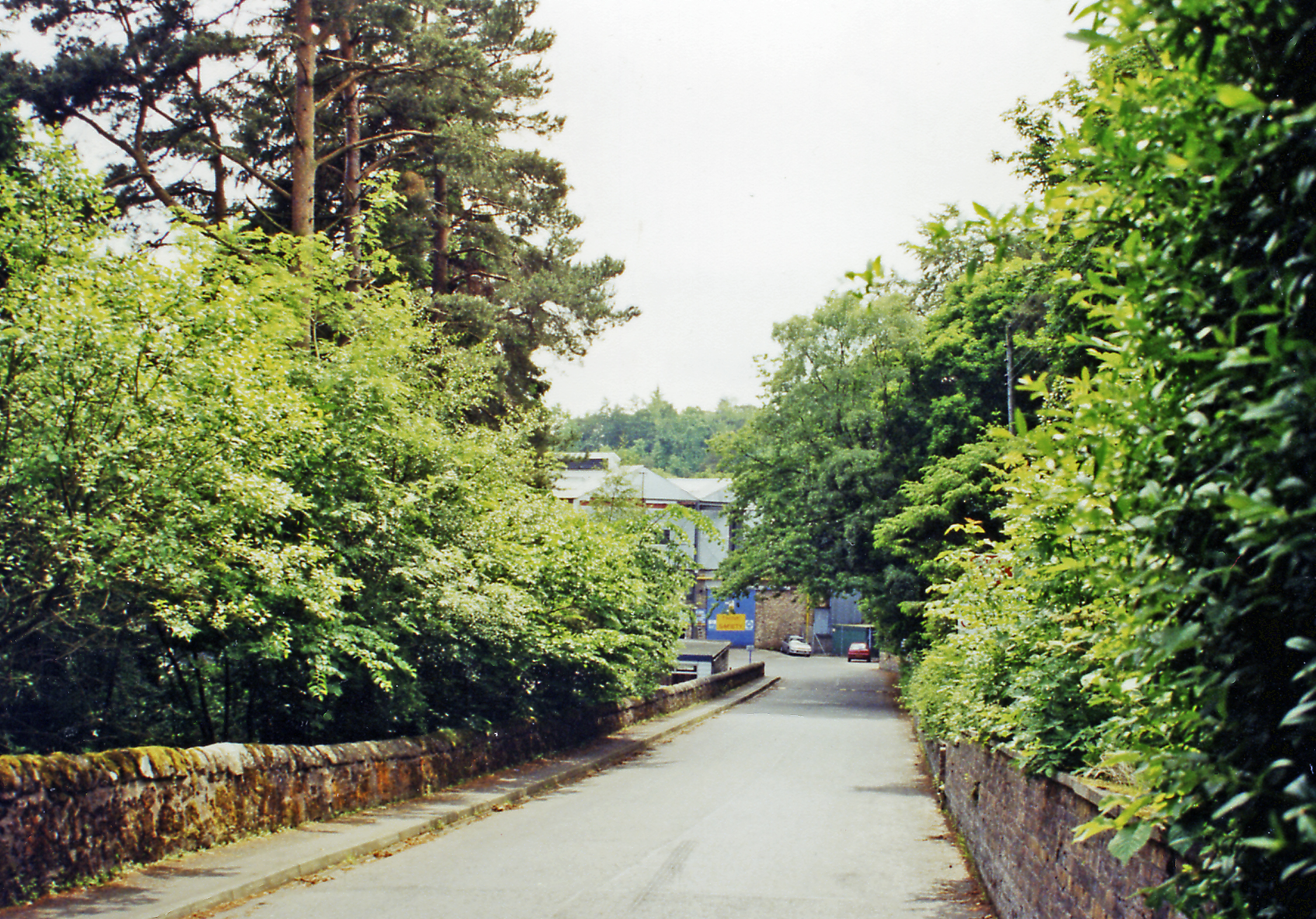
Firth Wood is a beautiful woodland area located in Midlothian, Scotland. Situated near the village of Roslin, it covers a vast expanse of land and is a popular destination for nature enthusiasts and hikers alike.

The wood is predominantly made up of a mix of deciduous and coniferous trees, creating a diverse and vibrant landscape. Towering oak and beech trees provide a stunning canopy, while the evergreen spruces and firs add a touch of color throughout the year. This mixture of trees attracts a wide variety of bird species, making Firth Wood an ideal spot for birdwatching.

Tranquil walking trails wind their way through the wood, allowing visitors to explore and immerse themselves in the natural surroundings. The paths are well-maintained and suitable for all levels of fitness, making it an accessible destination for families and individuals alike.

Firth Wood is also home to a rich array of wildlife. Deer, foxes, and squirrels are commonly spotted, while the occasional badger or hare may also make an appearance. The wood is teeming with flora, including bluebells, primroses, and wild garlic, which create a vibrant carpet during the springtime.

The wood is easily accessible by car, with ample parking available nearby. There are also picnic areas and benches dotted throughout the wood, providing a perfect spot to relax and enjoy the peaceful surroundings. Whether you are seeking a leisurely stroll or a more challenging hike, Firth Wood offers something for everyone to enjoy.

If you have any feedback on the listing, please let us know in the comments section below.
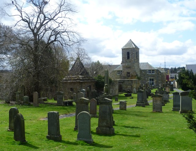
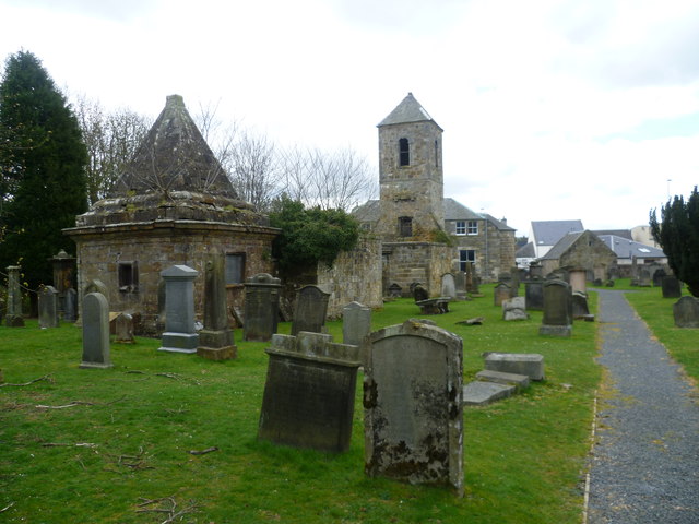
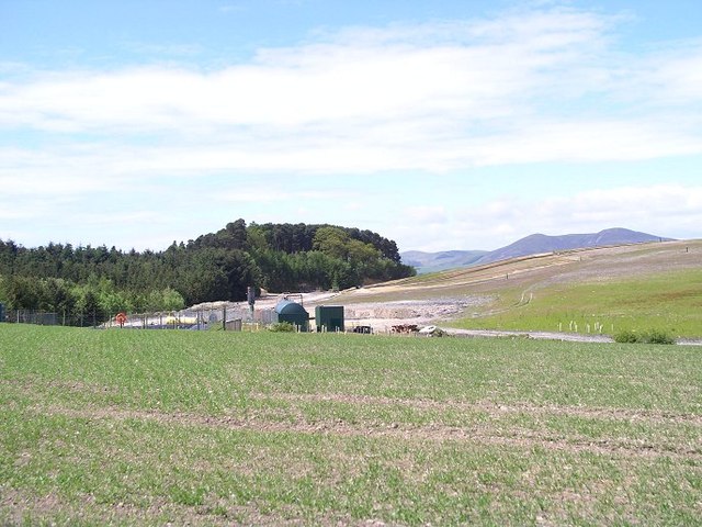
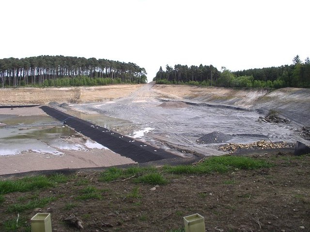
Firth Wood Images

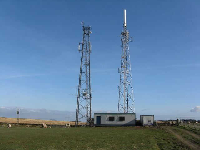
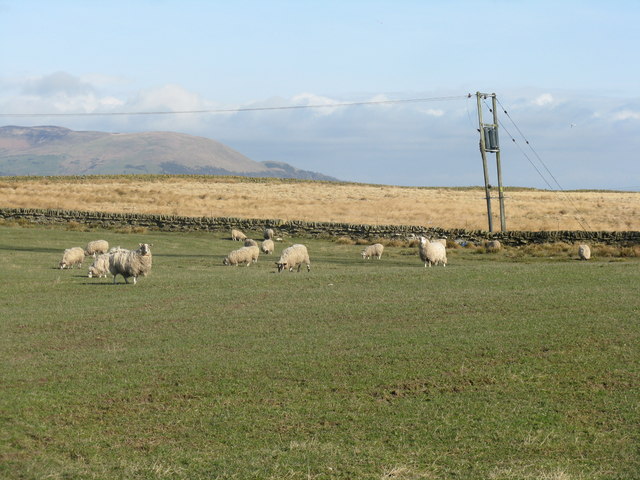
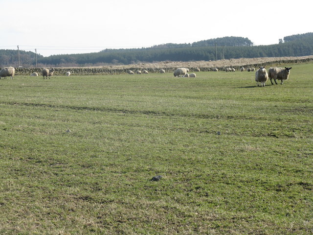
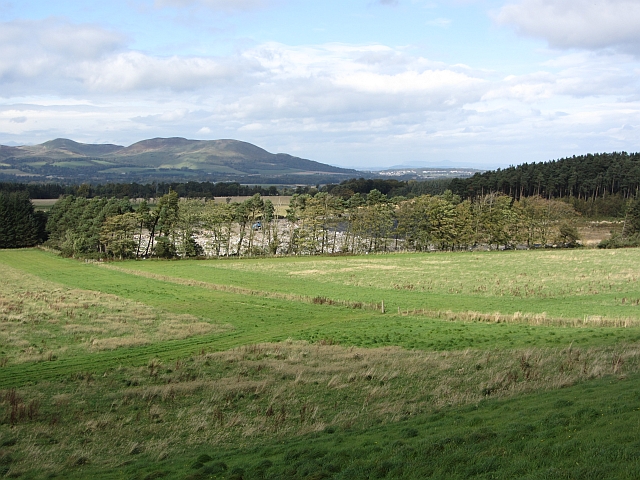
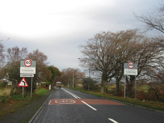
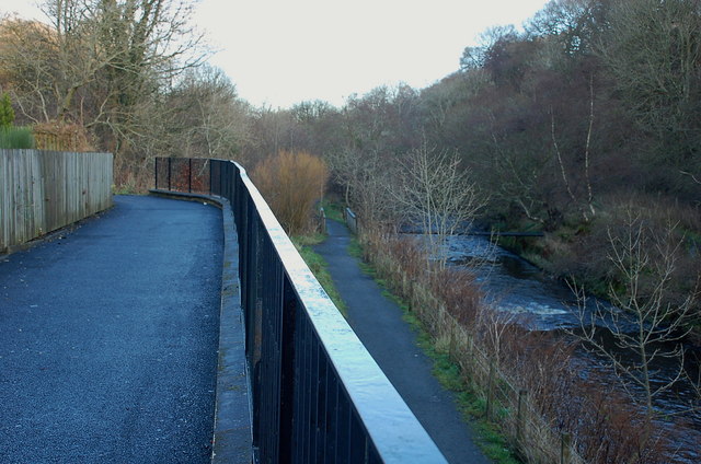
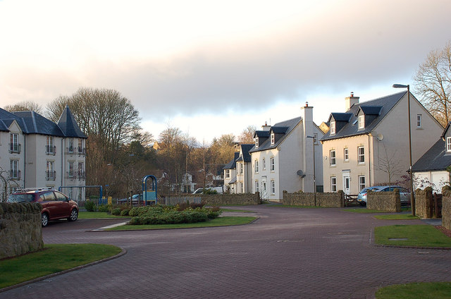
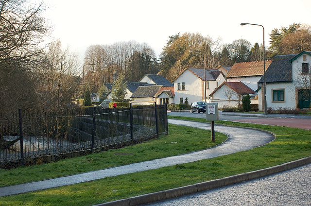
Images are sourced within 2km of 55.835087/-3.1908262 or Grid Reference NT2560. Thanks to Geograph Open Source API. All images are credited.

Communication/TV masts near Howgate Doubled in number since Richard Webb's visit 5 years ago - <a href="https://www.geograph.org.uk/photo/108169">NT2559 : TV transmitter</a>.
Communication/TV masts near Howgate
Doubled in number since Richard Webb's visit 5 years ago - NT2559 : TV transmitter.
Sheep and pasture near Loanstone With the NE end of the Pentland Hills in the distance, about 7km away. The power supply going to ground here no doubt supplies the two communication masts that are just out of view to the right <a href="https://www.geograph.org.uk/photo/2320834">NT2559 : Communication/TV masts near Howgate</a>.
Sheep and pasture near Loanstone
With the NE end of the Pentland Hills in the distance, about 7km away. The power supply going to ground here no doubt supplies the two communication masts that are just out of view to the right NT2559 : Communication/TV masts near Howgate.
Farmland and plantation near Fallhills Rough and improved grassland on part of what might be part of Drummond Moor.
Farmland and plantation near Fallhills
Rough and improved grassland on part of what might be part of Drummond Moor.
Landfill, Drummond Moor Beyond grass fields is a lined pit, now being filled with rubbish.
Landfill, Drummond Moor
Beyond grass fields is a lined pit, now being filled with rubbish.
Entrance to Loanstone
Paths by the North Esk, Valleyfield The path and cycleway on the old Penicuik railway line has almost reached the terminus at Valleyfield, site of the old Penicuik station - see <span class="nowrap"><a title="http://www.disused-stations.org.uk/p/penicuik/index.shtml" rel="nofollow ugc noopener" href="http://www.disused-stations.org.uk/p/penicuik/index.shtml">Link</a><img style="margin-left:2px;" alt="External link" title="External link - shift click to open in new window" src="https://s1.geograph.org.uk/img/external.png" width="10" height="10"/></span> for much more detail of its history. 

The path to the right keeps closer to the North Esk, rejoining the railway route near the new housing development at Eskmill.
Paths by the North Esk, Valleyfield
The path and cycleway on the old Penicuik railway line has almost reached the terminus at Valleyfield, site of the old Penicuik station - see LinkExternal link for much more detail of its history. The path to the right keeps closer to the North Esk, rejoining the railway route near the new housing development at Eskmill.
Houses at Valleyfield, Penicuik Part of a recent development on the site of a former paper mill and the Penicuik railway station opened in 1872, closed in 1951 - see <span class="nowrap"><a title="http://www.disused-stations.org.uk/p/penicuik/index.shtml" rel="nofollow ugc noopener" href="http://www.disused-stations.org.uk/p/penicuik/index.shtml">Link</a><img style="margin-left:2px;" alt="External link" title="External link - shift click to open in new window" src="https://s1.geograph.org.uk/img/external.png" width="10" height="10"/></span> for more details.
Houses at Valleyfield, Penicuik
Part of a recent development on the site of a former paper mill and the Penicuik railway station opened in 1872, closed in 1951 - see LinkExternal link for more details.
Houses and the North Esk at Valleyfield, Penicuik Part of a housing development at Valleyfield, where once stood Penicuik's first paper mill, opened in 1779, and the Penicuik railway station, terminus of the line from Edinburgh Waverley - see <span class="nowrap"><a title="http://www.disused-stations.org.uk/p/penicuik/index.shtml" rel="nofollow ugc noopener" href="http://www.disused-stations.org.uk/p/penicuik/index.shtml">Link</a><img style="margin-left:2px;" alt="External link" title="External link - shift click to open in new window" src="https://s1.geograph.org.uk/img/external.png" width="10" height="10"/></span> for more background to the station and the line.
Houses and the North Esk at Valleyfield, Penicuik
Part of a housing development at Valleyfield, where once stood Penicuik's first paper mill, opened in 1779, and the Penicuik railway station, terminus of the line from Edinburgh Waverley - see LinkExternal link for more background to the station and the line.
Kirkyard of St. Mungo's Parish Church When Sir John Sinclair carried out his survey of Scotland's 938 parishes in the 1790s, he received many detailed descriptions from his respondents, but probably none expressed a universal truth more profoundly than the laconic minister of Penicuik, Thomas McCourty, who wrote,

"The people are of various sizes. They are like those of other parishes,
many of them good, and some of them bad."
Kirkyard of St. Mungo's Parish Church
When Sir John Sinclair carried out his survey of Scotland's 938 parishes in the 1790s, he received many detailed descriptions from his respondents, but probably none expressed a universal truth more profoundly than the laconic minister of Penicuik, Thomas McCourty, who wrote, "The people are of various sizes. They are like those of other parishes, many of them good, and some of them bad."
Old St. Mungo's Parish Church
Sir George Clerk Mausoleum, St Mungo's Mausoleum built for Sir George Clerk (1787-1867). <span class="nowrap"><a title="http://en.wikipedia.org/wiki/Sir_George_Clerk,_6th_Baronet" rel="nofollow ugc noopener" href="http://en.wikipedia.org/wiki/Sir_George_Clerk,_6th_Baronet">Link</a><img style="margin-left:2px;" alt="External link" title="External link - shift click to open in new window" src="https://s1.geograph.org.uk/img/external.png" width="10" height="10"/></span>
Sir George Clerk Mausoleum, St Mungo's
Mausoleum built for Sir George Clerk (1787-1867). LinkExternal link
Sir George Clerk Mausoleum, St Mungo's The Clerks Mausoleum in what was known historically as St. Kentigern's Kirkyrad (St. Kentigern being the anglicised name of St. Mungo)
Sir George Clerk Mausoleum, St Mungo's
The Clerks Mausoleum in what was known historically as St. Kentigern's Kirkyrad (St. Kentigern being the anglicised name of St. Mungo)
Table tombstones, St. Mungo's kirkyard
Landfill gas power plant, Drummond Moor Drummond Moor operated as a landfill site for many years, at what had originally been a sand quarry. The foreground is mounded domestic rubbish which has been capped and planted. Pipes have also been inserted to capture the methane released by rotting organic material. This is used to fuel a generator in the middle of the picture. A high voltage power line was laid under the road and through Roslin Glen to carry the electricity away.
Landfill gas power plant, Drummond Moor
Drummond Moor operated as a landfill site for many years, at what had originally been a sand quarry. The foreground is mounded domestic rubbish which has been capped and planted. Pipes have also been inserted to capture the methane released by rotting organic material. This is used to fuel a generator in the middle of the picture. A high voltage power line was laid under the road and through Roslin Glen to carry the electricity away.
Landfill site preparation, Drummond Moor This is the last section of the Drummond Moor landfill site prepared to receive waste. The membrane is intended to prevent leakage of liquid leachate into the groundwater. This picture was taken in 2004; the site had closed by 2012.
Landfill site preparation, Drummond Moor
This is the last section of the Drummond Moor landfill site prepared to receive waste. The membrane is intended to prevent leakage of liquid leachate into the groundwater. This picture was taken in 2004; the site had closed by 2012.
Fields, Pomathorn, near Penicuick
South end of Penicuick from Pomathorn Carnethy Hill in the distance.
South end of Penicuick from Pomathorn
Carnethy Hill in the distance.
Penicuick from Pomathorn Castlelaw Hill in the distance.
Penicuick from Pomathorn
Castlelaw Hill in the distance.
Show me another place!

Firth Wood is located at Grid Ref: NT2560 (Lat: 55.835087, Lng: -3.1908262)

Unitary Authority: Midlothian

Police Authority: The Lothians and Scottish Borders

What 3 Words

///shots.stirs.work. Near Penicuik, Midlothian

Related Wikis

Woodhouselee

Woodhouselee is an estate in Midlothian in the parish of Glencorse. It has been owned by gentry including William Tytler and Alexander Fraser Tytler....

Oldwoodhouselee Castle

Old Woodhouselee Castle was a 16th-century tower house, about 1.5 miles (2.4 km) north east of Penicuik, Midlothian, Scotland, south of the river North...

Rosslynlee Hospital Halt railway station

Rosslynlee Hospital Halt railway station that served Rosslynlee Hospital, Midlothian, Scotland from 1958 to 1962 on the Peebles Railway. == History... ==

Auchendinny railway station

Auchendinny railway station was a station which served Auchendinny, in the Scottish county of Midlothian. It was served by trains on the branch line that...

Nearby Amenities

Located within 500m of 55.835087,-3.1908262
Power: pole
Lat/Long: 55.8359218/-3.1878696
Power: pole
Lat/Long: 55.8335343/-3.1949347
Power: pole
Lat/Long: 55.8324001/-3.1906269
Power: pole
Lat/Long: 55.8372412/-3.1864723
Power: pole
Lat/Long: 55.83773/-3.1860398
Power: pole
Lat/Long: 55.8372413/-3.1862227
Power: pole
Lat/Long: 55.8319994/-3.1921558
Power: pole
Lat/Long: 55.8349428/-3.1904821
Power: pole
Lat/Long: 55.8339997/-3.1936472
Power: pole
Lat/Long: 55.8330643/-3.1961765
Power: pole
Lat/Long: 55.8326983/-3.1894521
Power: pole
Lat/Long: 55.8360377/-3.1880414
Power: pole
Lat/Long: 55.8339667/-3.1845225
Power: pole
Lat/Long: 55.8355663/-3.1893235
Power: pole
Lat/Long: 55.8337016/-3.1855253
Power: pole
Lat/Long: 55.831662/-3.1935022
Power: pole
Lat/Long: 55.8354458/-3.1891517
Power: pole
Lat/Long: 55.8330478/-3.1881056
Power: pole
Lat/Long: 55.8322856/-3.1968496
Power: pole
Lat/Long: 55.8343463/-3.1921879
Power: pole
Lat/Long: 55.8347423/-3.191598
Power: pole
Lat/Long: 55.8323578/-3.1970321
Power: pole
Lat/Long: 55.834466/-3.1923564
Power: pole
Lat/Long: 55.8363865/-3.1865601
Power: pole
Lat/Long: 55.8329281/-3.1960337
Power: pole
Lat/Long: 55.8385366/-3.1857184
Power: pole
Lat/Long: 55.8334041/-3.194757
Power: pole
Lat/Long: 55.8313102/-3.1948052
Power: pole
Lat/Long: 55.8377782/-3.1862544
Power: pole
Lat/Long: 55.8343312/-3.1830526
Power: pole
Lat/Long: 55.8338831/-3.1934856
Power: pole
Lat/Long: 55.8333943/-3.1867645
Power: pole
Lat/Long: 55.8364896/-3.1867727
Power: pole
Lat/Long: 55.8383271/-3.1860378
Power: pole
Lat/Long: 55.8350866/-3.1906532
Power: pole
Lat/Long: 55.8321834/-3.1873162
Power: pole
Lat/Long: 55.8322959/-3.186889
Power: pole
Lat/Long: 55.8326817/-3.1861234
Power: pole
Lat/Long: 55.8326953/-3.1863182
Power: pole
Lat/Long: 55.8331364/-3.1850635
Power: pole
Lat/Long: 55.8332229/-3.1852393
Power: pole
Lat/Long: 55.8337427/-3.1843323
Power: pole
Lat/Long: 55.8338499/-3.184528
Power: pole
Lat/Long: 55.8343462/-3.1835717
Power: pole
Lat/Long: 55.8344551/-3.1837653
Power: pole
Lat/Long: 55.8350701/-3.1829746
Power: pole
Lat/Long: 55.8307339/-3.1900585
Power: pole
Lat/Long: 55.8310322/-3.1892109
Power: pole
Lat/Long: 55.8314781/-3.1883633
Power: pole
Lat/Long: 55.8308363/-3.1901792
Power: pole
Lat/Long: 55.8311361/-3.1893718
Power: pole
Lat/Long: 55.8316889/-3.1883258
Ford: yes
Lat/Long: 55.8360964/-3.1955731
Auchendinny Mains
Place: hamlet
Lat/Long: 55.8321017/-3.1963148
The data included in this document is from www.openstreetmap.org. The data is made available under ODbL.

Have you been to Firth Wood?

Leave your review of Firth Wood below (or comments, questions and feedback).